Cow Wood
Wood, Forest in Northumberland
England
Cow Wood
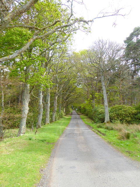
Cow Wood is a picturesque woodland located in Northumberland, England. Situated in the northernmost county of England, Cow Wood is a popular destination for nature enthusiasts and hikers alike. Covering an area of approximately 100 hectares, the wood is home to a diverse range of flora and fauna, making it an important ecological site.
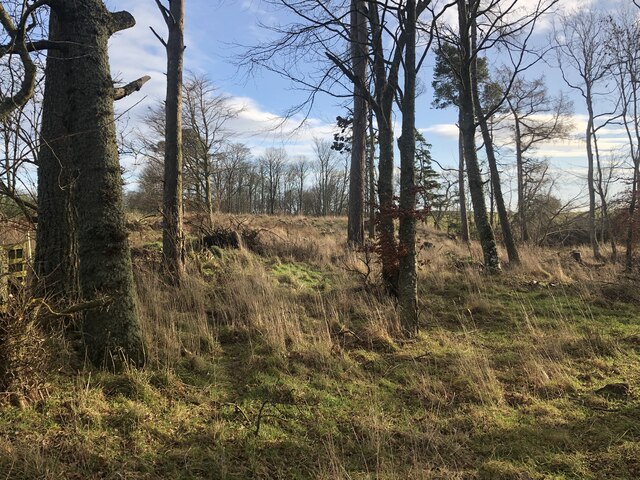
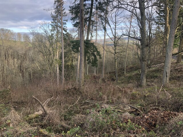
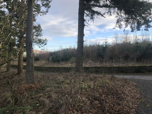
The wood is characterized by its dense canopy of predominantly broadleaf trees, including oak, beech, and birch. These trees provide a rich habitat for a variety of wildlife, such as deer, squirrels, and a multitude of bird species. The forest floor is adorned with an array of wildflowers, including bluebells and primroses, which create a vibrant and colorful display during the spring months.
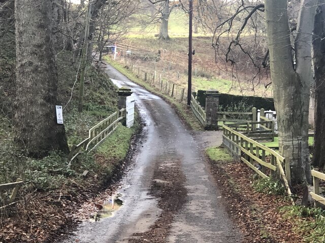
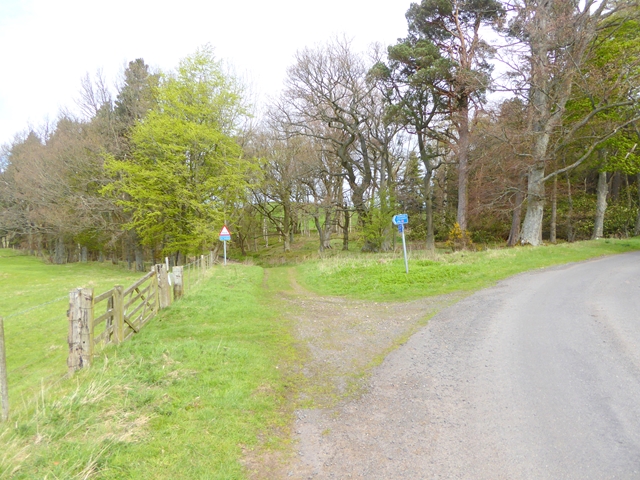
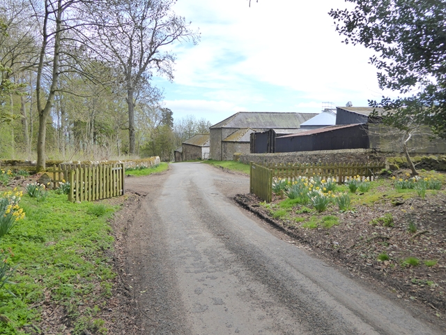
Traversing through Cow Wood, visitors can explore numerous well-maintained walking trails that offer breathtaking views of the surrounding countryside. The wood also features a network of small streams and ponds, adding to its natural charm. These water bodies attract various aquatic species, including frogs, newts, and dragonflies.
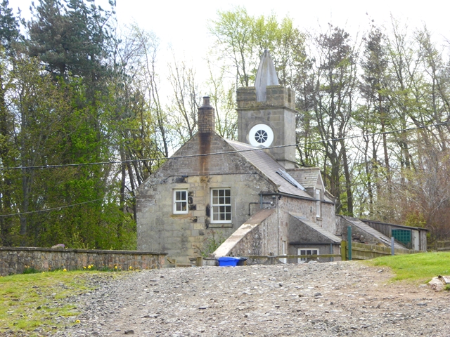
Cow Wood is managed by the local authorities to preserve its natural beauty and protect its biodiversity. The wood is open to the public year-round, providing opportunities for outdoor activities such as walking, picnicking, and wildlife watching. The peaceful atmosphere and tranquil surroundings make Cow Wood a perfect escape from the hustle and bustle of daily life.
Overall, Cow Wood in Northumberland offers visitors a chance to immerse themselves in the beauty of nature, appreciate the wonders of the British countryside, and encounter a diverse range of wildlife.
If you have any feedback on the listing, please let us know in the comments section below.
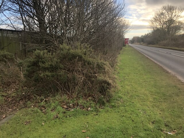
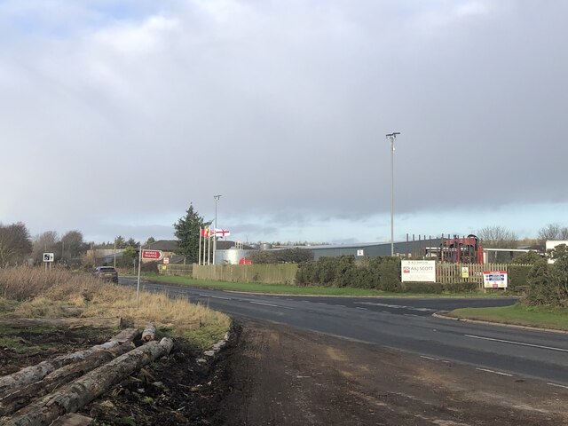
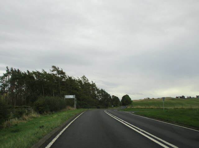
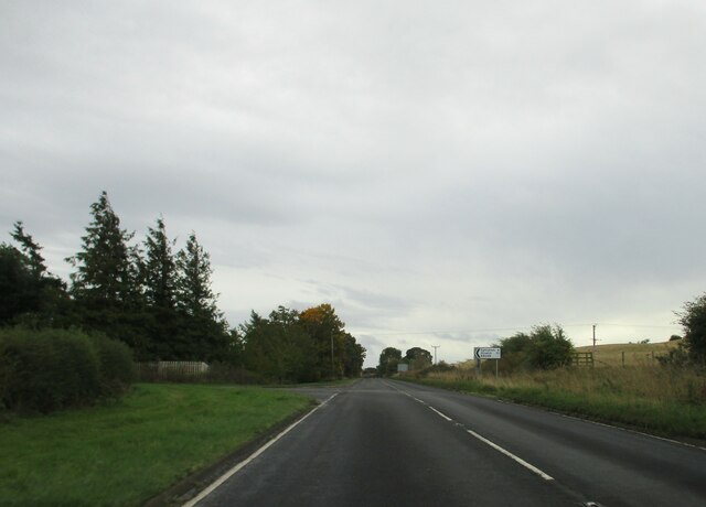
Cow Wood Images
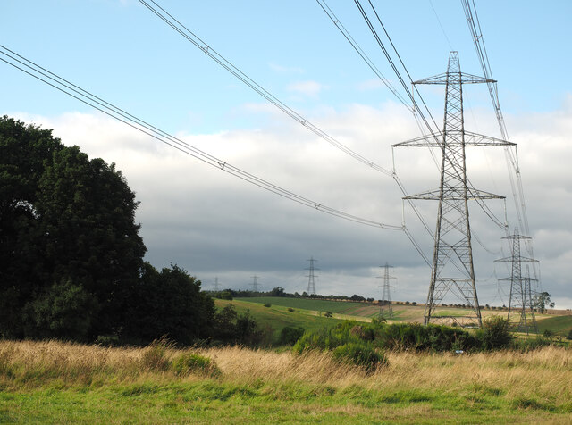
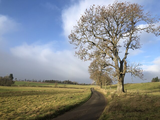
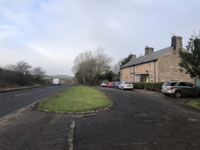
Images are sourced within 2km of 55.466582/-1.949471 or Grid Reference NU0319. Thanks to Geograph Open Source API. All images are credited.


Cow Wood is located at Grid Ref: NU0319 (Lat: 55.466582, Lng: -1.949471)
Unitary Authority: Northumberland
Police Authority: Northumbria
What 3 Words
///epidemics.detergent.shielding. Near Whittingham, Northumberland
Nearby Locations
Related Wikis

Roddam, Northumberland
Roddam is a village and civil parish about 24 miles from Morpeth, in the county of Northumberland, England. In 2001 the parish had a population of 77....
Roddam Hall
Roddam Hall is a privately owned 18th-century country house near Wooler, Northumberland. It is a Grade II listed building.The Roddams, an ancient Northumbrian...

Battle of Hedgeley Moor
The Battle of Hedgeley Moor, 25 April 1464, was a battle of the Wars of the Roses. It was fought at Hedgeley Moor, north of the villages of Glanton and...
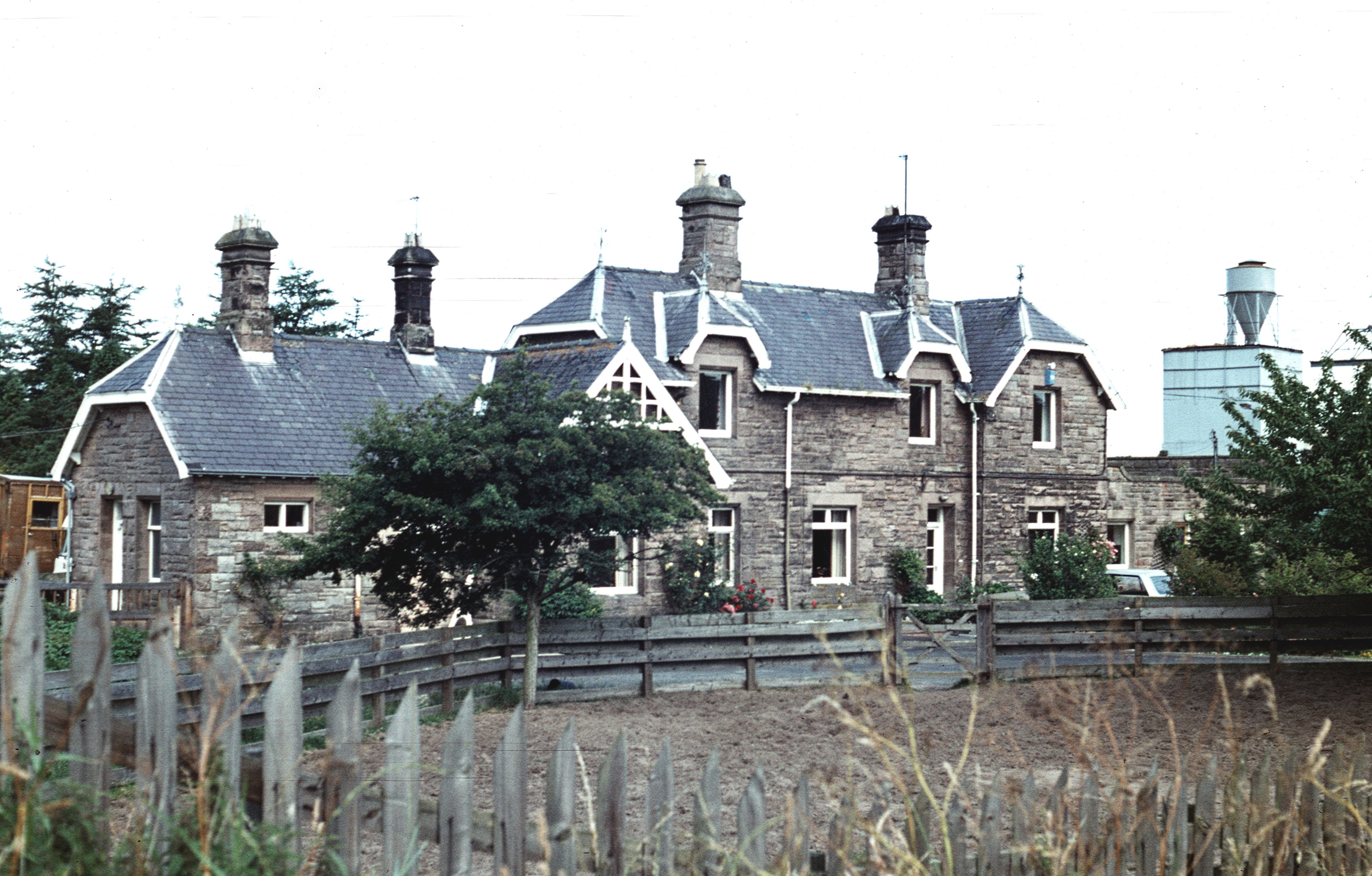
Wooperton railway station
Wooperton railway station served the hamlet of Wooperton, Roddam, Northumberland, England from 1887 to 1954 on the Cornhill Branch. == History == The station...
Nearby Amenities
Located within 500m of 55.466582,-1.949471Have you been to Cow Wood?
Leave your review of Cow Wood below (or comments, questions and feedback).