Ash Copse

Wood, Forest in Gloucestershire Cotswold

England

Ash Copse

Stone stile, to South Cerney On the boundary of a field & the exceptionally wide patch of the Thames & Severn canal towpath. View is into the field. The view towards the towpath is <a href="https://www.geograph.org.uk/photo/7232718">SU0597 : Stone stile, to South Cerney</a>.
Stone stile, to South Cerney Credit: Mr Red

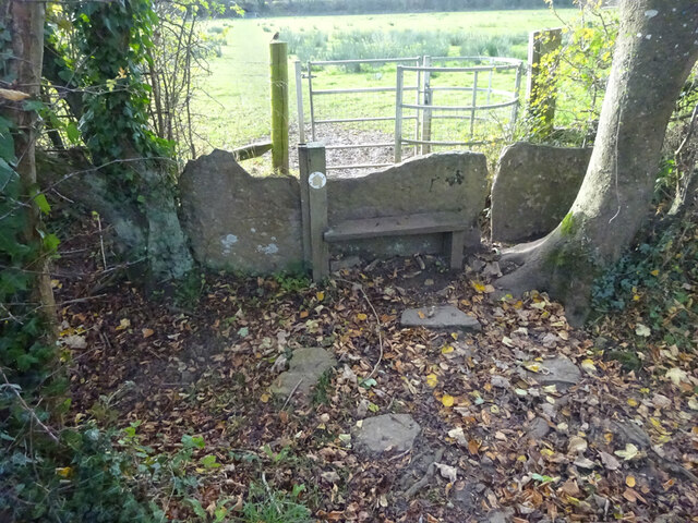
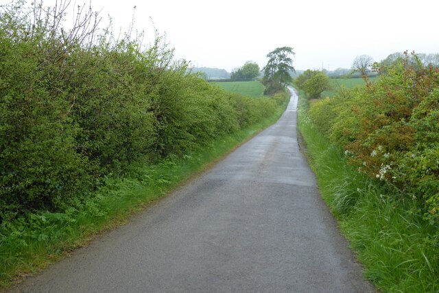
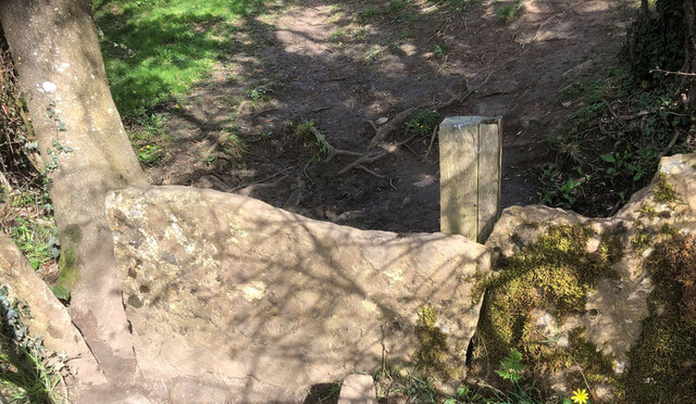
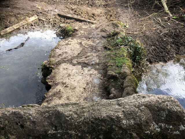
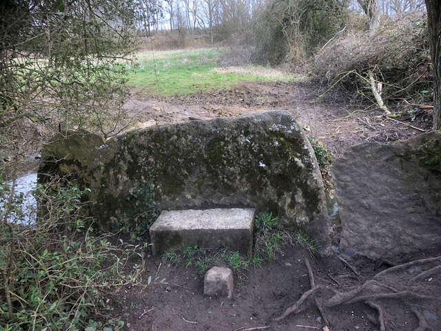
Ash Copse is a picturesque woodland located in Gloucestershire, England. Spanning an area of approximately 50 acres, this ancient forest is a haven for nature lovers and wildlife enthusiasts alike. The copse is named after the abundance of ash trees that dominate its landscape.

The woodland is characterized by its dense canopy, which provides shelter and shade for a diverse range of flora and fauna. Visitors to Ash Copse can expect to encounter a variety of wildlife, including deer, badgers, foxes, and a wide array of bird species. The tranquil atmosphere and peaceful surroundings make it an ideal location for birdwatching and nature walks.

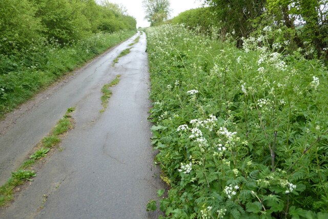
The forest floor is covered in a thick carpet of moss and ferns, creating a lush and verdant environment. In spring, the woodland comes alive with the vibrant colors of bluebells, primroses, and wild garlic. The scent of these wildflowers fills the air, adding to the overall sensory experience.

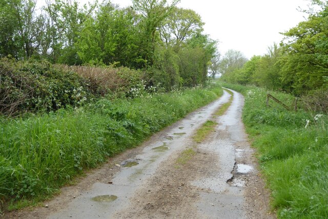
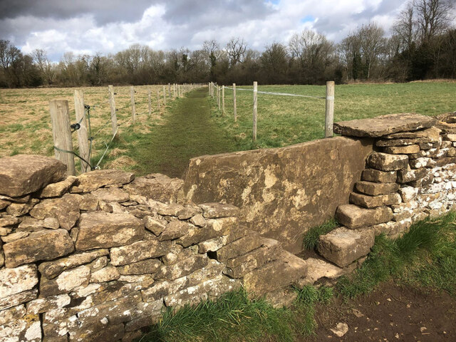
Ash Copse is also home to a small stream that meanders through the forest, adding to its natural beauty. The babbling sound of water can be heard as visitors explore the network of footpaths that crisscross the woodland.

This ancient woodland is a protected site, ensuring its preservation for future generations to enjoy. It serves as an important habitat for many species of plants and animals, contributing to the overall biodiversity of the area. Visitors to Ash Copse can immerse themselves in the beauty of nature, taking in the sights, sounds, and scents of this enchanting forest.

If you have any feedback on the listing, please let us know in the comments section below.
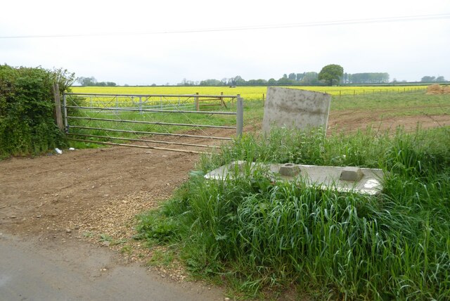
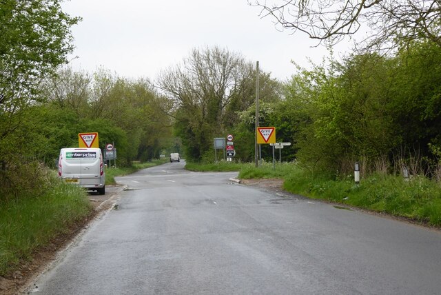
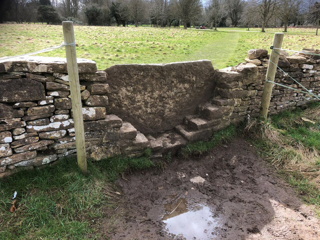
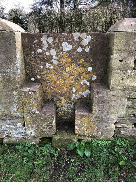
Ash Copse Images

Images are sourced within 2km of 51.676304/-1.9540209 or Grid Reference SU0397. Thanks to Geograph Open Source API. All images are credited.

Stone stile, to South Cerney On the boundary of a field & the exceptionally wide patch of the Thames & Severn canal towpath. View is into the field. The view towards the towpath is <a href="https://www.geograph.org.uk/photo/7232718">SU0597 : Stone stile, to South Cerney</a>.
Stone stile, to South Cerney
On the boundary of a field & the exceptionally wide patch of the Thames & Severn canal towpath. View is into the field. The view towards the towpath is SU0597 : Stone stile, to South Cerney.
Farm machinery in a gateway Farmers often leave farm machinery in field gateways, here a scuffle blocks the gate to this field near Ewen.
Farm machinery in a gateway
Farmers often leave farm machinery in field gateways, here a scuffle blocks the gate to this field near Ewen.
Farmland near Furzen Leaze Farm Farmland near Furzen Leaze Farm between Siddington and Ewen.
Farmland near Furzen Leaze Farm
Farmland near Furzen Leaze Farm between Siddington and Ewen.
Road to Cirencester Minor road to Cirencester from Somerford Keynes.
Road to Cirencester
Minor road to Cirencester from Somerford Keynes.
Clark's Lane Clark's Lane near Siddington.
Clark's Lane
Clark's Lane near Siddington.
Cow parsley on a verge Cow parsley on a verge of a minor country road near Siddington to the south of Cirencester.
Cow parsley on a verge
Cow parsley on a verge of a minor country road near Siddington to the south of Cirencester.
A field of oilseed rape A field of oilseed rape near Shorncote.
A field of oilseed rape
A field of oilseed rape near Shorncote.
A neglected minor road  With constraints on budgets potholed neglected roads are becoming more common.  This one is near Shorncote to the south of Cirencester.
A neglected minor road
With constraints on budgets potholed neglected roads are becoming more common. This one is near Shorncote to the south of Cirencester.
Blocks of concrete A large block of concrete and a large pipe beside a field gateway.  I assume they are here as obstacles to prevent unauthorised access.
Blocks of concrete
A large block of concrete and a large pipe beside a field gateway. I assume they are here as obstacles to prevent unauthorised access.
Shorncote Church All Saints church in Shorncote is Norman in origin and is Grade II* listed, see: <span class="nowrap"><a title="https://historicengland.org.uk/listing/the-list/list-entry/1153975?section=official-list-entry" rel="nofollow ugc noopener" href="https://historicengland.org.uk/listing/the-list/list-entry/1153975?section=official-list-entry">Link</a><img style="margin-left:2px;" alt="External link" title="External link - shift click to open in new window" src="https://s1.geograph.org.uk/img/external.png" width="10" height="10"/></span>  It is in the care of the Churches Conservation Trust.
Shorncote Church
All Saints church in Shorncote is Norman in origin and is Grade II* listed, see: LinkExternal link It is in the care of the Churches Conservation Trust.
Crossroads near South Cerney
Wayside Cross, South Cerney South Cerney Cross, old shaft, base & steps in a new cross. Benchmark at the base representing 90.2 m ASL.

Grade II listed monument see <span class="nowrap"><a title="https://historicengland.org.uk/listing/the-list/list-entry/1154162" rel="nofollow ugc noopener" href="https://historicengland.org.uk/listing/the-list/list-entry/1154162">Link</a><img style="margin-left:2px;" alt="External link" title="External link - shift click to open in new window" src="https://s1.geograph.org.uk/img/external.png" width="10" height="10"/></span>

Milestone Society National ID: GLCO_SOU01
Wayside Cross, South Cerney
South Cerney Cross, old shaft, base & steps in a new cross. Benchmark at the base representing 90.2 m ASL. Grade II listed monument see LinkExternal link Milestone Society National ID: GLCO_SOU01
Stone stile, to South Cerney On the boundary of a field & the exceptionally wide patch of the Thames & Severn canal towpath. View is SE to the towpath. The view from the towpath is <a href="https://www.geograph.org.uk/photo/7030887">SU0597 : Stone stile, to South Cerney</a>.
Stone stile, to South Cerney
On the boundary of a field & the exceptionally wide patch of the Thames & Severn canal towpath. View is SE to the towpath. The view from the towpath is SU0597 : Stone stile, to South Cerney.
Stone stile, to South Cerney On Gloucestershire footpath BSC15 leading to the village from the Thames & Severn Canal. This is looking over the stile at the causeway. The full view of the stile is <a href="https://www.geograph.org.uk/photo/7232718">SU0597 : Stone stile, to South Cerney</a>.
Stone stile, to South Cerney
On Gloucestershire footpath BSC15 leading to the village from the Thames & Severn Canal. This is looking over the stile at the causeway. The full view of the stile is SU0597 : Stone stile, to South Cerney.
Stone stile, to South Cerney On Gloucestershire footpath BSC15 leading to the village from the Thames & Severn Canal. The view looking over the stile at a causeway is <a href="https://www.geograph.org.uk/photo/7232724">SU0597 : Stone stile, to South Cerney</a>.
Stone stile, to South Cerney
On Gloucestershire footpath BSC15 leading to the village from the Thames & Severn Canal. The view looking over the stile at a causeway is SU0597 : Stone stile, to South Cerney.
Stone stile, to South Cerney On Gloucestershire footpath BSC15 from canal to South Cerney looking North to the disused railway and canal. The view looking South to the church is <a href="https://www.geograph.org.uk/photo/7232766">SU0597 : Stone stile, to South Cerney</a>.
Stone stile, to South Cerney
On Gloucestershire footpath BSC15 from canal to South Cerney looking North to the disused railway and canal. The view looking South to the church is SU0597 : Stone stile, to South Cerney.
Stone stile, to South Cerney On Gloucestershire footpath BSC15 from canal to South Cerney looking South to the church. The view looking North to the disused railway and canal is <a href="https://www.geograph.org.uk/photo/7232757">SU0597 : Stone stile, to South Cerney</a>.
Stone stile, to South Cerney
On Gloucestershire footpath BSC15 from canal to South Cerney looking South to the church. The view looking North to the disused railway and canal is SU0597 : Stone stile, to South Cerney.
Stone stile, to South Cerney On Gloucestershire footpath BSC15 the stile which indicates the registered footpath. This view looks NE from the graveyard. The view to the graveyard is <a href="https://www.geograph.org.uk/photo/7232945">SU0597 : Stone stile, to South Cerney</a>.
Stone stile, to South Cerney
On Gloucestershire footpath BSC15 the stile which indicates the registered footpath. This view looks NE from the graveyard. The view to the graveyard is SU0597 : Stone stile, to South Cerney.
Show me another place!

Ash Copse is located at Grid Ref: SU0397 (Lat: 51.676304, Lng: -1.9540209)

Administrative County: Gloucestershire

District: Cotswold

Police Authority: Gloucestershire

What 3 Words

///budding.intruded.fruit. Near South Cerney, Gloucestershire

Nearby Locations

Dryleaze Covert Ash Copse

Related Wikis

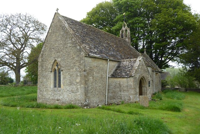
All Saints Church, Shorncote

All Saints Church is a historic Anglican church in Shorncote, Gloucestershire, England under the care of The Churches Conservation Trust. It is recorded...

South Cerney Castle

South Cerney Castle was an adulterine castle of Motte and bailey construction built in South Cerney, Gloucestershire in the mid-12th century. Today only...
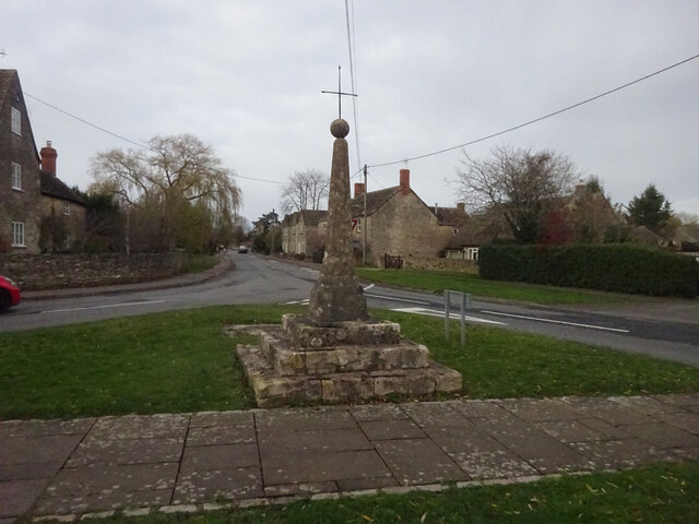
South Cerney

South Cerney is a village and civil parish in the Cotswold district of Gloucestershire, 3 miles south of Cirencester and close to the border with Wiltshire...

Church of All Hallows, South Cerney

The Church of All Hallows is an Anglican parish church in the village of South Cerney, Gloucestershire. The church is of Norman origins, with medieval...

Siddington, Gloucestershire

Siddington is a village and civil parish in Gloucestershire, England. It is located immediately south of Cirencester. At the 2011 United Kingdom Census...

South Cerney railway station

South Cerney railway station was on the Midland and South Western Junction Railway in Gloucestershire. The station opened on 18 December 1883 on the Swindon...

RAF South Cerney

Royal Air Force South Cerney or more simply RAF South Cerney is a former Royal Air Force station located in South Cerney near Cirencester in Gloucestershire...

Duke of Gloucester Barracks

The Duke of Gloucester Barracks is a British Army barracks at South Cerney in Gloucestershire. == History == The barracks were established on the site...

Nearby Amenities

Located within 500m of 51.676304,-1.9540209
The data included in this document is from www.openstreetmap.org. The data is made available under ODbL.

Have you been to Ash Copse?

Leave your review of Ash Copse below (or comments, questions and feedback).