Cuddy Hill
Settlement in Lancashire Preston
England
Cuddy Hill
Cuddy Hill is a small village located in the county of Lancashire, England. Situated in the picturesque countryside, it is nestled on the southern slopes of the West Pennine Moors. The village is part of the borough of Chorley and lies approximately 7 miles north of the town of Bolton.
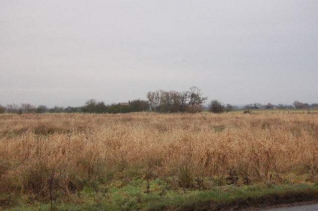
Cuddy Hill is known for its tranquil and idyllic setting, with rolling hills, lush green fields, and stunning views of the surrounding countryside. The village is predominantly residential, with a small population of close-knit residents who take great pride in their community.
One of the notable features of Cuddy Hill is its close proximity to several nature reserves and country parks. Visitors and locals alike can enjoy the beautiful walks and trails that wind through the nearby Lever Park and Rivington Pike, offering opportunities for outdoor activities such as hiking, cycling, and birdwatching.
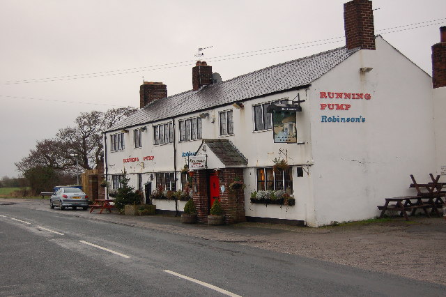
The village itself has limited amenities, with a local pub, a small convenience store, and a village hall serving as the central hub for community events and gatherings. However, Cuddy Hill benefits from being within easy reach of larger towns and cities. The nearby town of Horwich offers a wider range of shops, restaurants, and leisure facilities, while the vibrant city of Manchester is just a short drive away.
Overall, Cuddy Hill provides a peaceful and scenic retreat for those seeking a quiet countryside lifestyle, while still offering easy access to the amenities and attractions of the surrounding area.
If you have any feedback on the listing, please let us know in the comments section below.
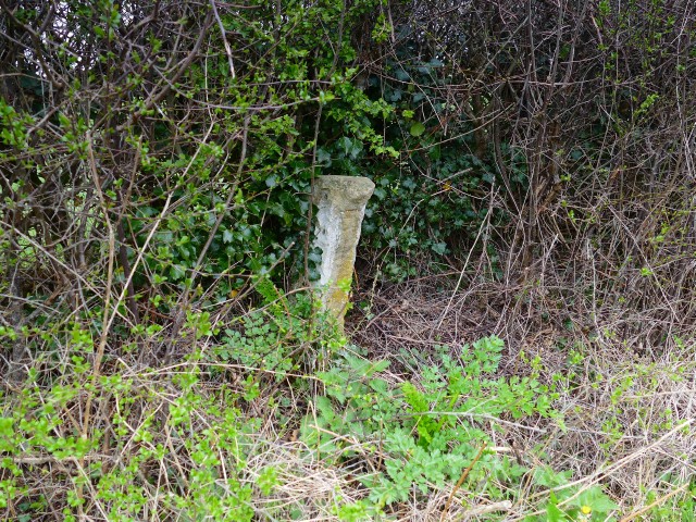
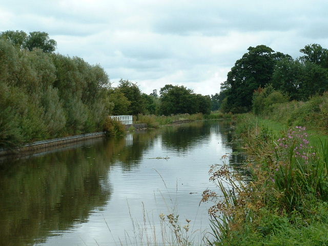
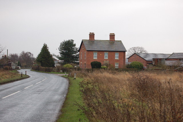
Cuddy Hill Images
Images are sourced within 2km of 53.830182/-2.773942 or Grid Reference SD4937. Thanks to Geograph Open Source API. All images are credited.


Cuddy Hill is located at Grid Ref: SD4937 (Lat: 53.830182, Lng: -2.773942)
Administrative County: Lancashire
District: Preston
Police Authority: Lancashire
What 3 Words
///thinks.salads.woes. Near Catterall, Lancashire
Nearby Locations
Related Wikis
Eaves, Lancashire
Eaves is a hamlet in Lancashire, England, six miles north of Preston. It is part of the Fylde, a flat area of land between the Forest of Bowland and the...
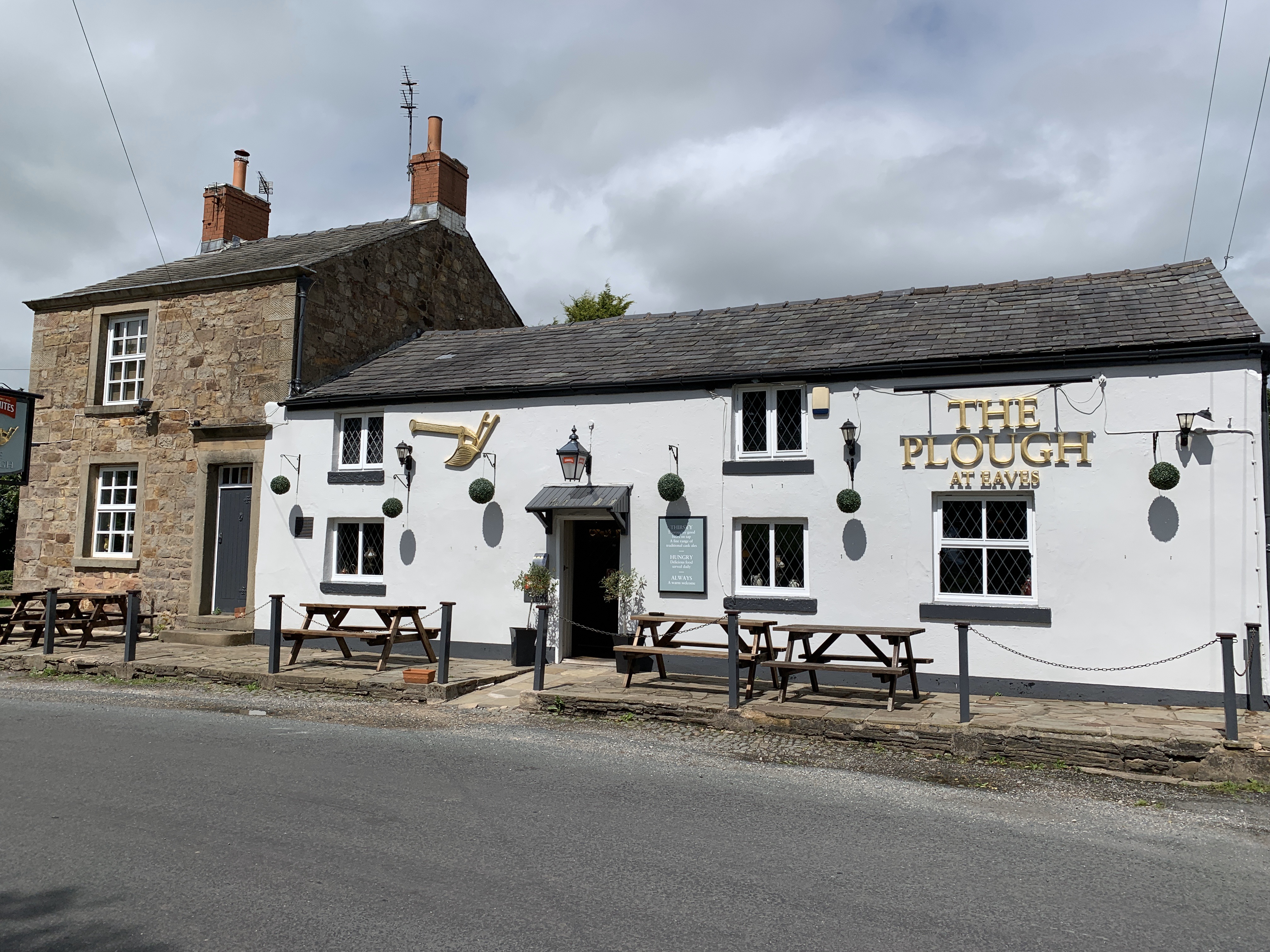
The Plough at Eaves
The Plough at Eaves is a public house on Eaves Lane in Eaves, Lancashire, a hamlet of Woodplumpton. It is owned by Thwaites Brewery. Dating to 1625, when...
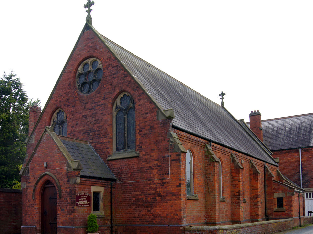
Catforth
Catforth is a village in the English civil parish of Woodplumpton and the City of Preston district, in Lancashire, England. There is a village hall and...
Myerscough, Lancashire
Myerscough is a hamlet and former civil parish on the River Brock, 14 miles (23 km) from Lancaster, now in the parish of Myerscough and Bilsborrow, in...
Inskip-with-Sowerby
Inskip-with-Sowerby is a civil parish in the Borough of Wyre, in Lancashire, England. A part of the Fylde, the parish includes the village of Inskip and...
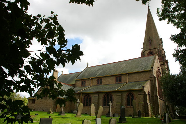
St Lawrence's Church, Barton
St Lawrence's Church is in Garstang Road, Barton, Preston, Lancashire, England. It is an active Anglican parish church in the diocese of Blackburn....
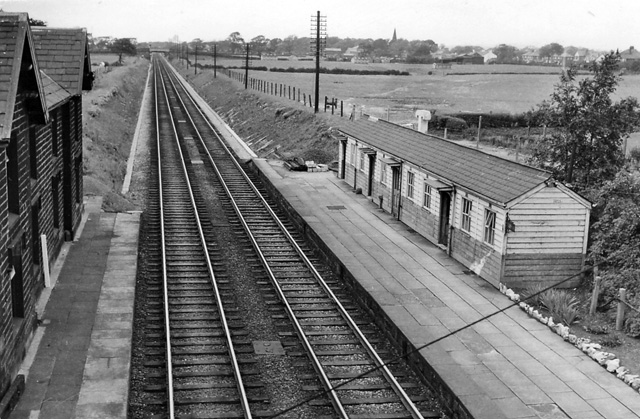
Barton and Broughton railway station
Barton and Broughton railway station served the villages of Barton and Broughton in Lancashire, England, from 1840 to 1965 on the Lancaster and Preston...
Barton, Preston
Barton is a linear village and civil parish in the City of Preston, Lancashire, England. The parish had a population of 1,150, of whom 552 were male and...
Nearby Amenities
Located within 500m of 53.830182,-2.773942Have you been to Cuddy Hill?
Leave your review of Cuddy Hill below (or comments, questions and feedback).