Long Wood

Wood, Forest in Worcestershire Wychavon

England

Long Wood

Arable land at Cock Bevington Arable land viewed from beside a disused mine at Cock Bevington.
Arable land at Cock Bevington Credit: Philip Halling

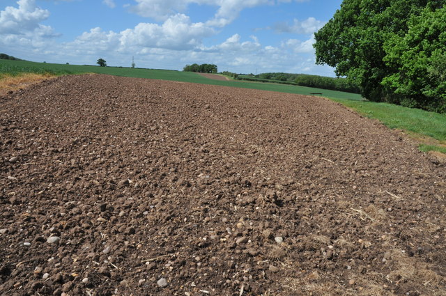
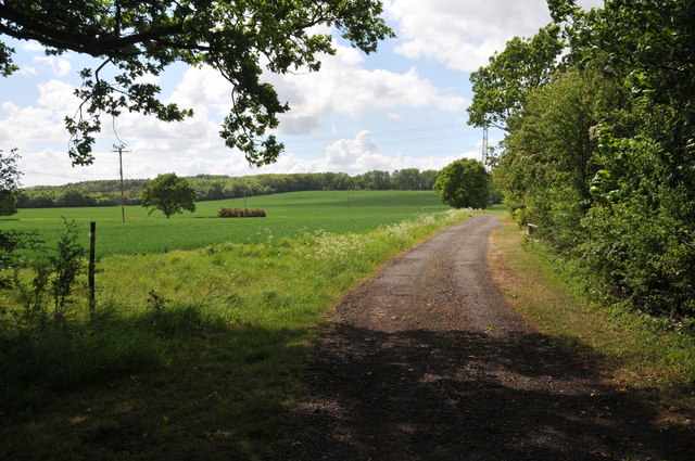
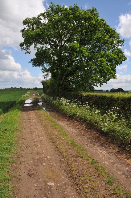
Long Wood is a picturesque forest located in Worcestershire, England. Covering an area of approximately 200 acres, this woodland is a haven for nature lovers and outdoor enthusiasts. The forest is situated near the village of Longdon and is easily accessible by car or on foot.

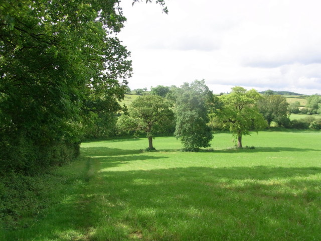
Long Wood is known for its diverse range of flora and fauna, making it a popular destination for wildlife enthusiasts. The forest is home to a variety of tree species, including oak, beech, and birch, which create a stunning canopy overhead. The forest floor is adorned with bluebells, wild garlic, and other wildflowers during the springtime, adding to its natural beauty.

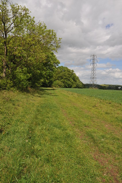
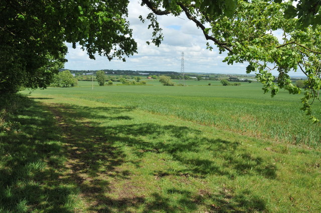
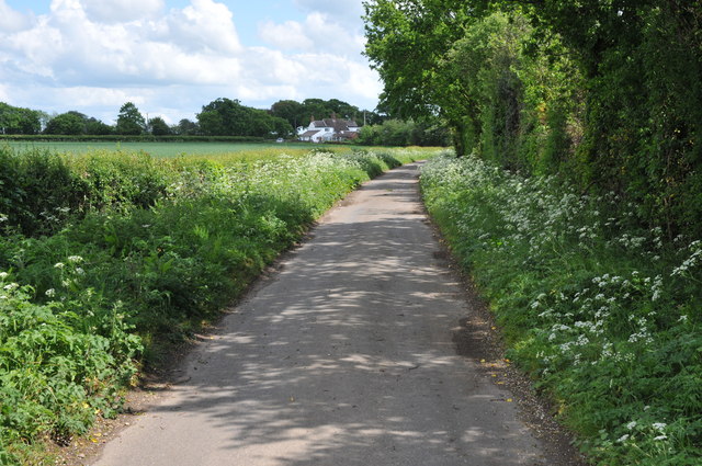
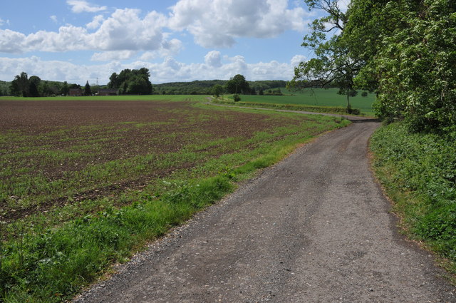
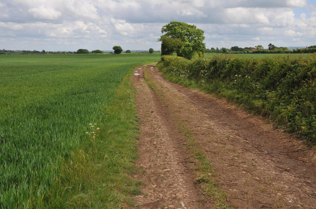
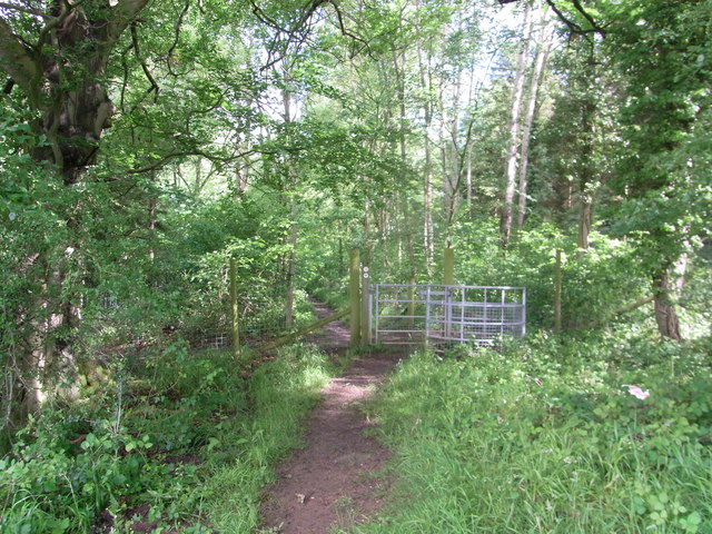
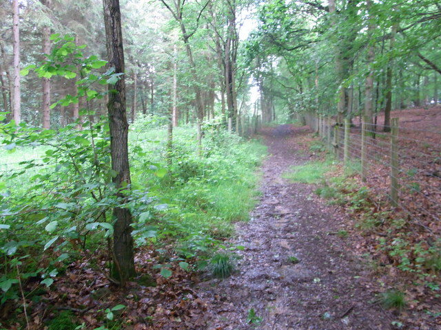
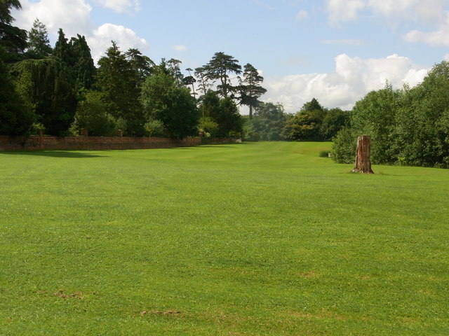
The woodland is crisscrossed by a network of walking trails, offering visitors the opportunity to explore its enchanting surroundings. These trails cater to all levels of fitness and provide stunning views of the forest and the surrounding countryside. Many visitors also take advantage of the forest's peaceful atmosphere to indulge in activities such as birdwatching, photography, and picnicking.

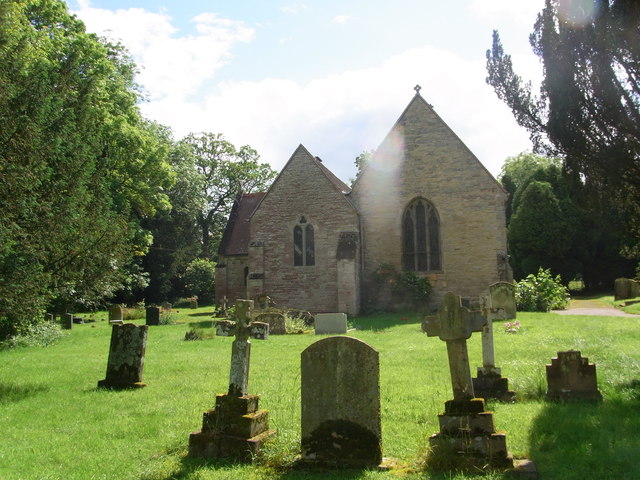
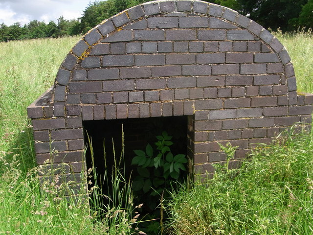
In addition to its natural beauty, Long Wood also holds historical significance. The forest has been a source of timber for centuries and was once part of the hunting grounds of the nearby Longdon Hall. Today, remnants of the hall can still be seen within the woodland, adding an air of mystique to the area.

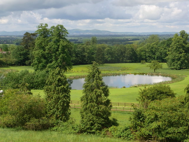
Overall, Long Wood in Worcestershire offers a tranquil escape from the hustle and bustle of daily life, providing visitors with the opportunity to reconnect with nature and enjoy the beauty of the English countryside.

If you have any feedback on the listing, please let us know in the comments section below.

Long Wood Images

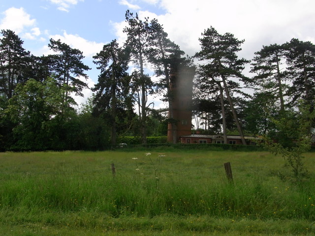
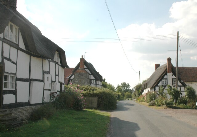
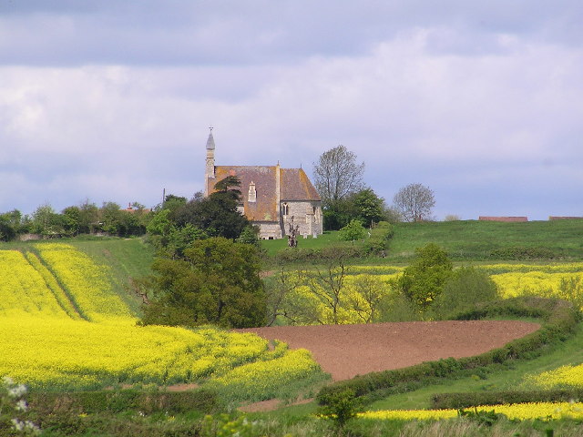
Images are sourced within 2km of 52.173981/-1.9540389 or Grid Reference SP0352. Thanks to Geograph Open Source API. All images are credited.

Arable land at Cock Bevington Arable land viewed from beside a disused mine at Cock Bevington.
Arable land at Cock Bevington
Arable land viewed from beside a disused mine at Cock Bevington.
On the border This bridleway follows the hedgerow which marks the county boundary between Worcestershire and Warwickshire.
On the border
This bridleway follows the hedgerow which marks the county boundary between Worcestershire and Warwickshire.
Arable land at Bevington Waste Arable land viewed from a bridleway at Bevington Waste.
Arable land at Bevington Waste
Arable land viewed from a bridleway at Bevington Waste.
Pylons at Bevington Waste Pylons carry power cables across farmland at Bevington Waste.
Pylons at Bevington Waste
Pylons carry power cables across farmland at Bevington Waste.
Pylons in arable land, Bevington Waste Pylons carry power cables through this large arable field at Bevington Waste.
Pylons in arable land, Bevington Waste
Pylons carry power cables through this large arable field at Bevington Waste.
Track at Cock Bevington Track at Cock Bevington giving access to an electricity substation.
Track at Cock Bevington
Track at Cock Bevington giving access to an electricity substation.
Road at Cock Bevington No through road at Cock Bevington.
Road at Cock Bevington
No through road at Cock Bevington.
Road to Rose Cottage Road to Rose Cottage and Whitfield Barn at Cock Bevington.
Road to Rose Cottage
Road to Rose Cottage and Whitfield Barn at Cock Bevington.
Track to Cock Bevington Track and bridleway across arable land to Cock Bevington.
Track to Cock Bevington
Track and bridleway across arable land to Cock Bevington.
Track to Cock Bevington Track and bridleway to Cock Bevington.
Track to Cock Bevington
Track and bridleway to Cock Bevington.
Wychavon Way along edge of  Old Yew Hill Wood
Wychavon Way along edge of Old Yew Hill Wood
Wychavon Way enters Old Yew Hill Wood
Fenced path alongside track Wychavon Way in Yeald Wood near the northern edge.
Fenced path alongside track
Wychavon Way in Yeald Wood near the northern edge.
St. Peter's church , Rous Lench
Impressive wall bounding the garden of Rous Lench Court
The lake in the grounds of Rous Lench Court From footpath on the ridge to the north of the Court. Splendid view to the Malvern Hills.
The lake in the grounds of Rous Lench Court
From footpath on the ridge to the north of the Court. Splendid view to the Malvern Hills.
Entrance to former icehouse ? Rous Lench Be careful, the grid that should guard the entrance is lying in the long grass just off the footpath. Some references are to an icehouse in the grounds of Rous Lench Court but nothing recent. The bricks are Victorian so it could have been built by mid C19.
Entrance to former icehouse ? Rous Lench
Be careful, the grid that should guard the entrance is lying in the long grass just off the footpath. Some references are to an icehouse in the grounds of Rous Lench Court but nothing recent. The bricks are Victorian so it could have been built by mid C19.
The Tower in grounds of Rous Lench Court The Tower is Grade II listed but appears to be private housing now.
The Tower in grounds of Rous Lench Court
The Tower is Grade II listed but appears to be private housing now.
Show me another place!

Long Wood is located at Grid Ref: SP0352 (Lat: 52.173981, Lng: -1.9540389)

Administrative County: Worcestershire

District: Wychavon

Police Authority: West Mercia

What 3 Words

///champions.gender.firewall. Near Harvington, Worcestershire

Related Wikis

Church Lench

Church Lench is a village and former civil parish, now in the parish of South Lenches, in the Wychavon district, in the county of Worcestershire, England...

Goom's Hill

Goom's Hill is a location near Abbots Morton in Worcestershire, England.

Atch Lench

Atch Lench is a village in Worcestershire, England. == External links == Media related to Atch Lench at Wikimedia Commons Atch Lench in the Domesday Book

Abbots Morton

Abbots Morton is a village and civil parish in the English county of Worcestershire. It consists of approximately 70 dwellings and 250 people. It retains...

Weethley

Weethley is a village and former civil parish on the B4088 road, now in the parish of Arrow with Weethley, in the Stratford-on-Avon district, in the county...

Ab Lench

Ab Lench is a village and former civil parish, now in the parish of South Lenches, in the Wychavon district, in the county of Worcestershire, England...

Radford, Worcestershire

Radford is a hamlet in the Wychavon district of Worcestershire, England. It is 1 mile SSW of Inkberrow. In 2013, Landscan population maps show there to...

Abberton Hall

Abberton Hall is a small country house in the village of Abberton, Worcestershire, England, near Pershore. == History == It is an irregular two-story...

Nearby Amenities

Located within 500m of 52.173981,-1.9540389
Power: pole
Lat/Long: 52.1751433/-1.9511324
Power: pole
Lat/Long: 52.1751489/-1.9495969
Power: pole
Lat/Long: 52.1751611/-1.948277
Power: pole
Lat/Long: 52.175169/-1.9469678
Power: pole
Lat/Long: 52.1759113/-1.9521297
Power: pole
Lat/Long: 52.1765552/-1.9529599
Power: pole
Lat/Long: 52.1772123/-1.9538432
Power: pole
Lat/Long: 52.1778659/-1.9546917
Morton Wood Solar
Power: substation
Ref: 778936
Source: wpd_opendata
Lat/Long: 52.1777658/-1.9523987
The data included in this document is from www.openstreetmap.org. The data is made available under ODbL.

Have you been to Long Wood?

Leave your review of Long Wood below (or comments, questions and feedback).