Barebellies Plantation

Wood, Forest in Northumberland

England

Barebellies Plantation

River Breamish The road to the left goes to Ingram. The avenue goes to Reaveley.
The cultivation terraces on Heddon Hill are visible in the centre.
Viewed from the footpath skirting East Hill.
River Breamish Credit: Russel Wills

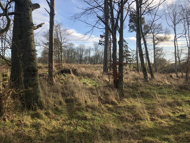
Barebellies Plantation is a picturesque woodland area located in Northumberland, England. Situated amidst the stunning natural beauty of Northumberland, this plantation is a haven for nature lovers and outdoor enthusiasts. Spanning over a vast area, the plantation is known for its dense forest cover and diverse flora and fauna.

The woodland of Barebellies Plantation is predominantly composed of a variety of deciduous and coniferous trees, creating a rich and vibrant ecosystem. Tall oak, birch, and beech trees dominate the landscape, providing a lush canopy that offers shade and shelter to various wildlife species.

Visitors to Barebellies Plantation can explore its many footpaths and trails, which meander through the woodland, offering breathtaking views of the surrounding countryside. The plantation is a popular destination for walking, hiking, and cycling, with well-maintained paths catering to all levels of outdoor enthusiasts.

The diverse range of plant and animal species found within Barebellies Plantation makes it a paradise for wildlife enthusiasts and birdwatchers. Red squirrels, deer, and various bird species, including woodpeckers and owls, can be spotted in the area.

In addition to its natural beauty, Barebellies Plantation also holds historical significance. It is believed that the plantation has been managed and utilized for timber production since medieval times, making it a place of cultural heritage.

Overall, Barebellies Plantation offers a serene and tranquil escape from the hustle and bustle of everyday life, providing visitors with an opportunity to immerse themselves in nature's wonders.

If you have any feedback on the listing, please let us know in the comments section below.

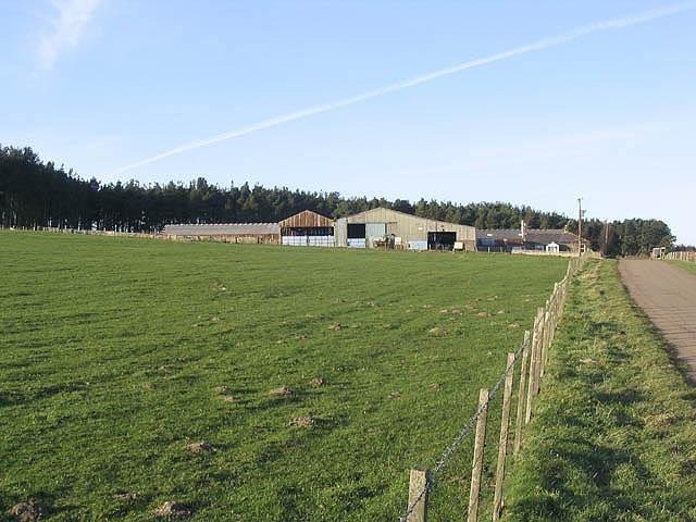
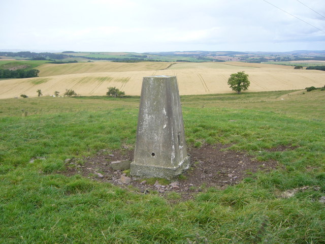
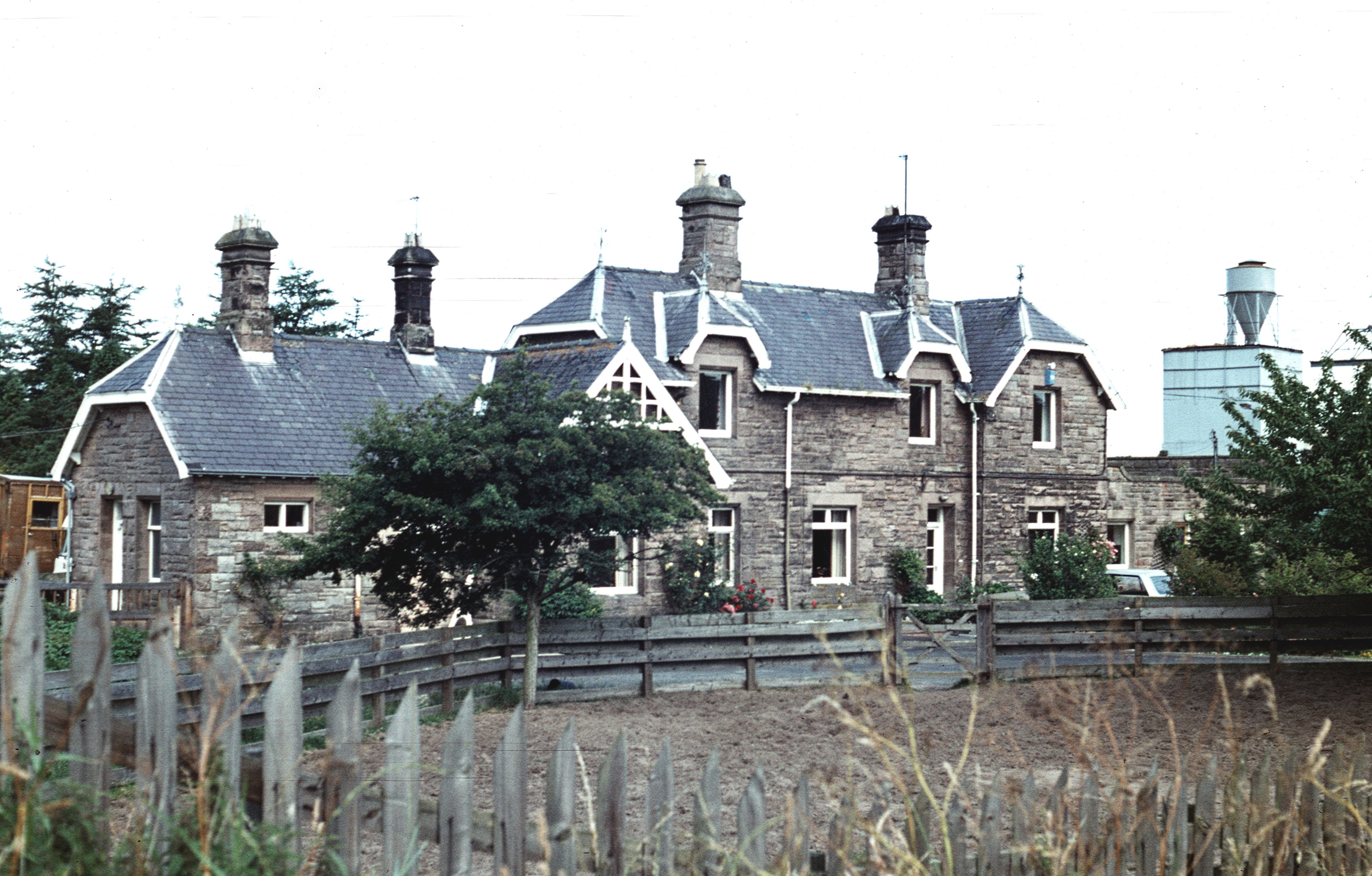
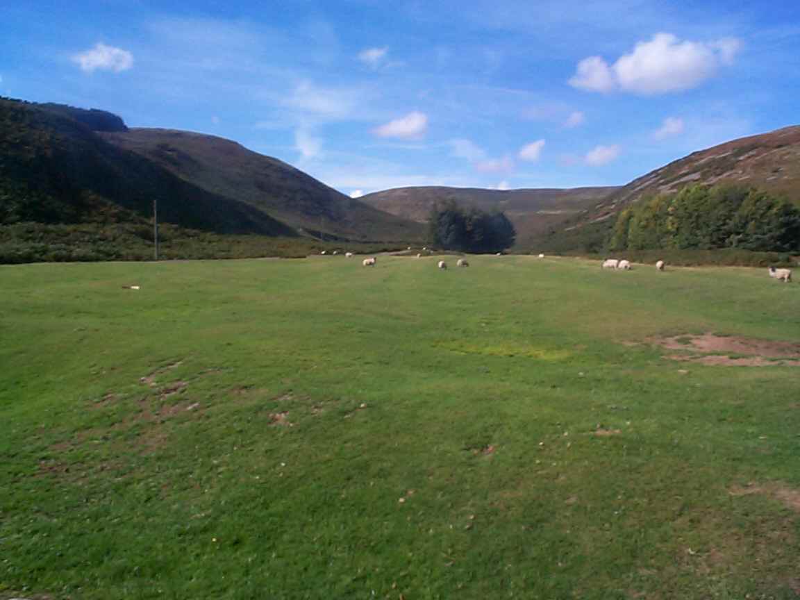
Barebellies Plantation Images

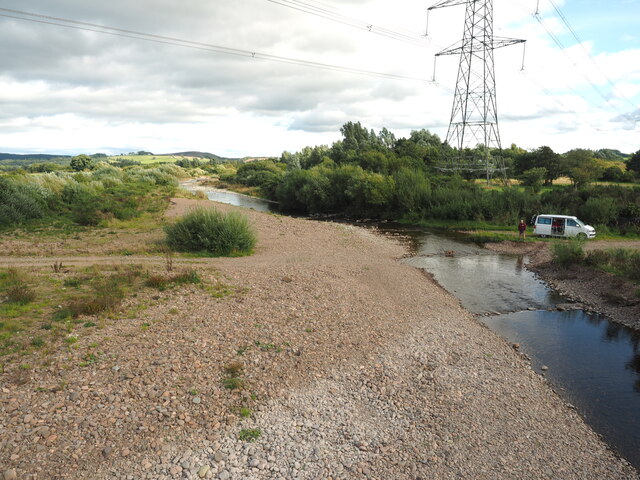
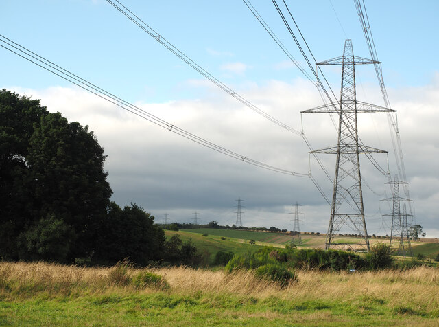
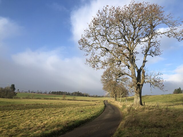
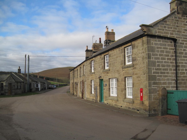
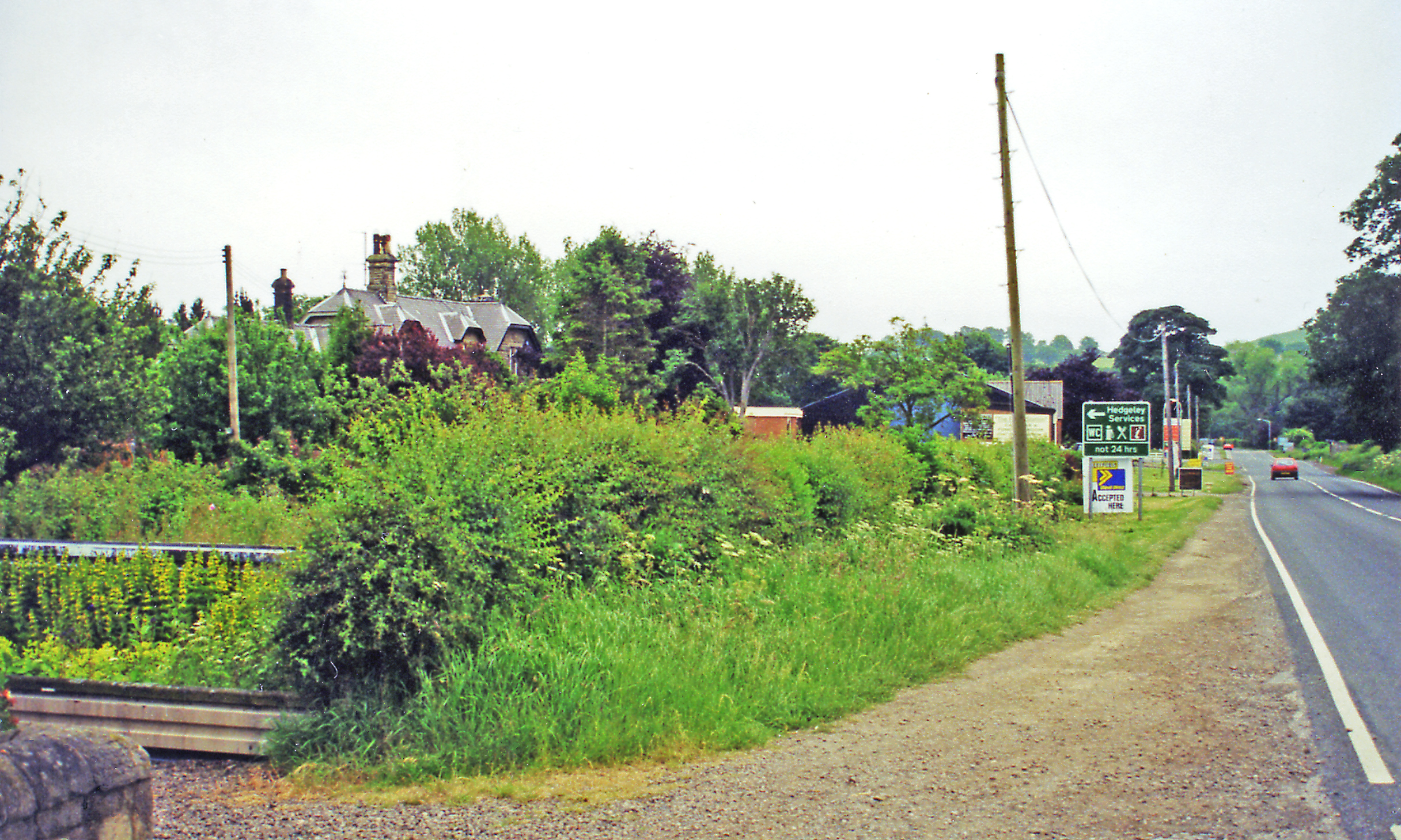
Images are sourced within 2km of 55.459601/-1.9522156 or Grid Reference NU0318. Thanks to Geograph Open Source API. All images are credited.

River Breamish The road to the left goes to Ingram. The avenue goes to Reaveley.
The cultivation terraces on Heddon Hill are visible in the centre.
Viewed from the footpath skirting East Hill.
River Breamish
The road to the left goes to Ingram. The avenue goes to Reaveley. The cultivation terraces on Heddon Hill are visible in the centre. Viewed from the footpath skirting East Hill.
A Beautiful Spot Ruined The ford and bridge here are lovely, but the whole spot is ruined by the 512,000 volt power line and pylons!
A Beautiful Spot Ruined
The ford and bridge here are lovely, but the whole spot is ruined by the 512,000 volt power line and pylons!
Power from the North
Misty River Breamish in Autumn Splendour The swollen River Breamish meanders through the image in an elongated 'S' shape. The sky is overcast, and Brandon Hill is barely visible through the mist. Deciduous trees and shrubs, displaying their autumnal hues, border both sides of the river, as well as a small island within the river.
Misty River Breamish in Autumn Splendour
The swollen River Breamish meanders through the image in an elongated 'S' shape. The sky is overcast, and Brandon Hill is barely visible through the mist. Deciduous trees and shrubs, displaying their autumnal hues, border both sides of the river, as well as a small island within the river.
Unfenced road, Roddam
Woodland, Blind Dean
Foot of Blind Dean
Foot of Blind Dean
Ford over the River Breamish at Brandon On the Pennine Cycleway. Fortunately there is a footbridge alternative!
Ford over the River Breamish at Brandon
On the Pennine Cycleway. Fortunately there is a footbridge alternative!
Farmland near Brandon Looking up to Brandon Dean.
Farmland near Brandon
Looking up to Brandon Dean.
Public footpath to Threestoneburn House The distance from here over Reaveley Hill to Threestoneburn House is 4 miles.
Public footpath to Threestoneburn House
The distance from here over Reaveley Hill to Threestoneburn House is 4 miles.
Reaveley Greens Farm
Ford and Footbridge The view looking up the stream towards the mountain
Ford and Footbridge
The view looking up the stream towards the mountain
Looking over the Road Looking towards the oncoming Rain
Looking over the Road
Looking towards the oncoming Rain
Rural road Bales by a minor road to Roddam Rigg.
Rural road
Bales by a minor road to Roddam Rigg.
A pond near Wooperton Hall
Cattle at Wooperton Cattle on high ground to the west of Wooperton Hall with a threatening sky behind.
Cattle at Wooperton
Cattle on high ground to the west of Wooperton Hall with a threatening sky behind.
Sheep and pasture at Roddam Viewed from a minor road with Roddam Hall in the background.
Sheep and pasture at Roddam
Viewed from a minor road with Roddam Hall in the background.
East Hill trig
East Hill trig
Show me another place!

Barebellies Plantation is located at Grid Ref: NU0318 (Lat: 55.459601, Lng: -1.9522156)

Unitary Authority: Northumberland

Police Authority: Northumbria

What 3 Words

///access.juror.nibbles. Near Whittingham, Northumberland

Nearby Locations

Barebellies Plantation

Related Wikis

Nearby Amenities

Located within 500m of 55.459601,-1.9522156
Power: tower
Source: OS 1:25k
Lat/Long: 55.4580179/-1.9507882
Power: tower
Source: Bing
Lat/Long: 55.4605441/-1.9553824
The data included in this document is from www.openstreetmap.org. The data is made available under ODbL.

Have you been to Barebellies Plantation?

Leave your review of Barebellies Plantation below (or comments, questions and feedback).