Birkenside Fell Plantation
Wood, Forest in Northumberland
England
Birkenside Fell Plantation

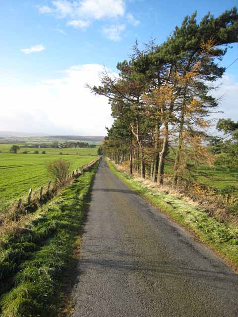
Birkenside Fell Plantation is a picturesque woodland located in the county of Northumberland, England. Covering an area of approximately 100 acres, this enchanting forest is nestled in the heart of the Northumberland countryside.
The plantation is primarily composed of a mix of broadleaf and coniferous trees, creating a diverse and vibrant ecosystem. Towering oak, beech, and birch trees dominate the landscape, providing a stunning canopy of foliage throughout the year. The dense undergrowth is adorned with ferns, wildflowers, and mosses, adding to the natural beauty of the woodland.
Traversing the woodland is a network of well-maintained footpaths, allowing visitors to explore the plantation and immerse themselves in its tranquil ambiance. These paths lead to various viewpoints that offer breathtaking vistas of the surrounding countryside, including the Cheviot Hills in the distance.
Birkenside Fell Plantation is home to a wide range of wildlife, making it a haven for nature enthusiasts. Visitors may spot native bird species such as woodpeckers, owls, and warblers, as well as small mammals like squirrels and rabbits. The forest floor is also teeming with insects, including butterflies and beetles, which thrive in this flourishing habitat.
Throughout the year, the plantation hosts events and activities for visitors of all ages. From guided nature walks and birdwatching excursions to educational workshops on woodland conservation, Birkenside Fell offers a variety of opportunities for people to engage with and learn about the natural environment.
Overall, Birkenside Fell Plantation is a captivating woodland oasis in Northumberland that showcases the beauty and diversity of the region's natural landscape.
If you have any feedback on the listing, please let us know in the comments section below.
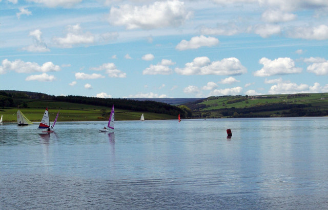
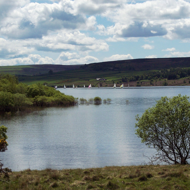
Birkenside Fell Plantation Images
Images are sourced within 2km of 54.870665/-1.9530356 or Grid Reference NZ0352. Thanks to Geograph Open Source API. All images are credited.


Birkenside Fell Plantation is located at Grid Ref: NZ0352 (Lat: 54.870665, Lng: -1.9530356)
Unitary Authority: Northumberland
Police Authority: Northumbria
What 3 Words
///swept.overlaid.hype. Near Muggleswick, Co. Durham
Nearby Locations
Related Wikis

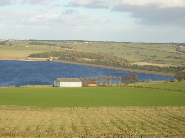
Derwent Reservoir (North East England)
The Derwent Reservoir is a reservoir on the River Derwent, on the border between County Durham and Northumberland, in England. It is west of Consett. It...

Carterway Heads
Carterway Heads is a hamlet in Northumberland, England. It is situated between Consett and the Derwent Reservoir, at the intersection of the A68 and B6278...

Burnhope Burn
Burnhope Burn is a Site of Special Scientific Interest in the Wear Valley district of north County Durham, England. It consists of a 12.6-acre (5.1 ha...

Pow Hill Bog
Pow Hill Bog is a Site of Special Scientific Interest in the Wear Valley district of County Durham, England. It lies alongside Derwent Reservoir, approximately...
Nearby Amenities
Located within 500m of 54.870665,-1.9530356Have you been to Birkenside Fell Plantation?
Leave your review of Birkenside Fell Plantation below (or comments, questions and feedback).