Hipton Hill Wood

Wood, Forest in Worcestershire Wychavon

England

Hipton Hill Wood

Footpath to Lenchwick This footpath from Chadbury to Lenchwick passes through the farm in the middle distance before climbing a slight rise to Lenchwick.
Footpath to Lenchwick Credit: Philip Halling

Hipton Hill Wood is a picturesque woodland located in Worcestershire, England. Covering an area of approximately 20 hectares, this ancient woodland is known for its diverse range of flora and fauna, making it a popular destination for nature enthusiasts and hikers alike.

The wood is primarily composed of oak and birch trees, which create a dense canopy that provides shade and shelter to the woodland floor below. The forest floor is blanketed with a rich carpet of bluebells during the spring months, creating a stunning display of vibrant colors. In addition to bluebells, visitors can also find a variety of wildflowers, such as primroses and wood anemones, adding to the beauty of the wood.

Hipton Hill Wood is home to a plethora of wildlife, including various bird species, such as woodpeckers, nuthatches, and tawny owls. The wood also provides a habitat for mammals like deer, foxes, and badgers. For those interested in insect life, the wood is abundant with butterflies, bees, and beetles.

The wood features several well-marked trails, allowing visitors to explore its natural beauty at their own pace. These trails meander through the woodland, offering glimpses of scenic views, babbling brooks, and peaceful glades.

Hipton Hill Wood is managed by a local conservation group, ensuring the preservation of its natural environment. The wood is open to the public year-round and offers a tranquil escape from the hustle and bustle of everyday life. Whether you are a nature lover, a hiker, or simply seeking a peaceful retreat, Hipton Hill Wood is a wonderful destination to experience Worcestershire's natural beauty.

If you have any feedback on the listing, please let us know in the comments section below.

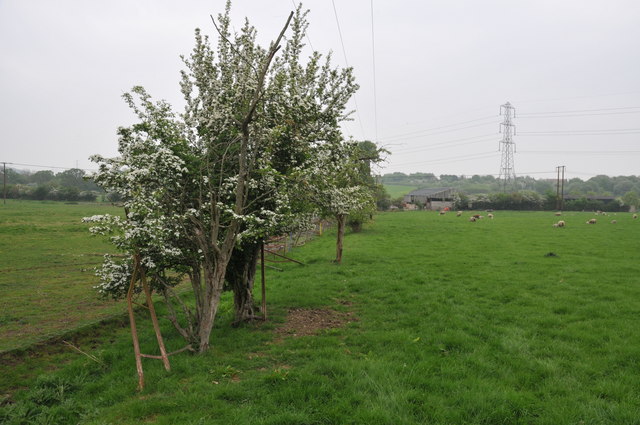
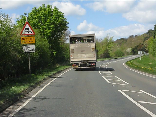
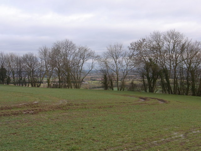
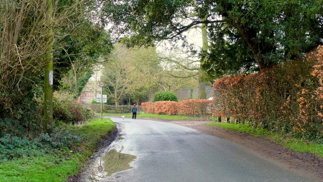
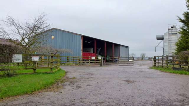
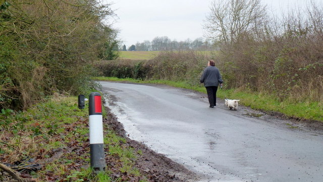
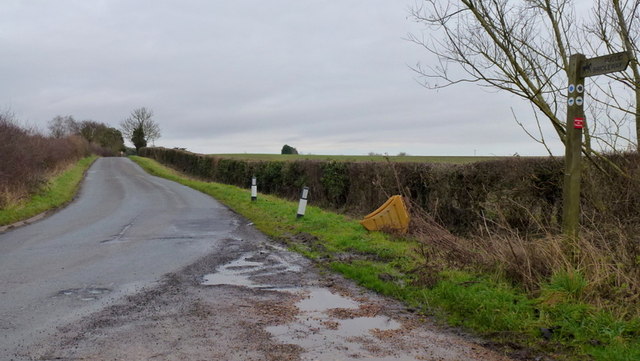
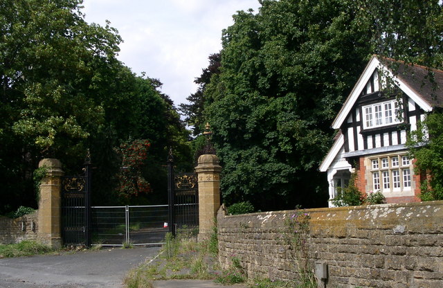
Hipton Hill Wood Images

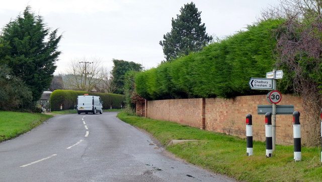
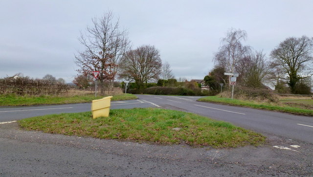
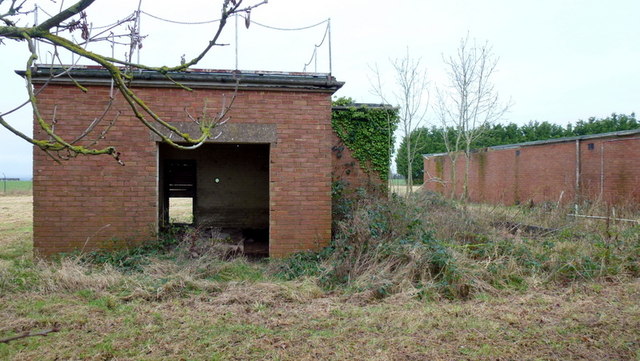
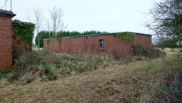
Images are sourced within 2km of 52.132626/-1.9563603 or Grid Reference SP0348. Thanks to Geograph Open Source API. All images are credited.

Footpath to Lenchwick This footpath from Chadbury to Lenchwick passes through the farm in the middle distance before climbing a slight rise to Lenchwick.
Footpath to Lenchwick
This footpath from Chadbury to Lenchwick passes through the farm in the middle distance before climbing a slight rise to Lenchwick.
A44 near Wood Norton
Through the trees on Rough Hills Harvington village in the distance.
Through the trees on Rough Hills
Harvington village in the distance.
Farmland on a plateau The flat top of Hipton Hill.
Farmland on a plateau
The flat top of Hipton Hill.
Sheriff's Lench Lady and dog out for a walk on a mild January afternoon.
Sheriff's Lench
Lady and dog out for a walk on a mild January afternoon.
Manor Farm, Lenchwick A large farm on the edge of this hamlet to the north-west of Evesham.
Manor Farm, Lenchwick
A large farm on the edge of this hamlet to the north-west of Evesham.
Fingerpost at Lenchwick Three-way junction in the centre of this hamlet.
Fingerpost at Lenchwick
Three-way junction in the centre of this hamlet.
Lane to Lenchwick Looking south-east.
Lane to Lenchwick
Looking south-east.
Handgate farm crossroads An elongated country cross-lanes in the midst of The Lenches; left is to Sheriff's Lench, right to Lenchwick, ahead left to Church Lench and ahead right to Atch Lench.
Handgate farm crossroads
An elongated country cross-lanes in the midst of The Lenches; left is to Sheriff's Lench, right to Lenchwick, ahead left to Church Lench and ahead right to Atch Lench.
Disused property, Sheriff's Lench, 1 The disused buildings are north of the hamlet.
Disused property, Sheriff's Lench, 1
The disused buildings are north of the hamlet.
Disused property, Sheriff's Lench, 2 The disused buildings are north of the hamlet.
Possibly Ministry of Defence?
Disused property, Sheriff's Lench, 2
The disused buildings are north of the hamlet. Possibly Ministry of Defence?
Manor Farm, Sheriff's Lench Modern buildings; clean and tidy.
Manor Farm, Sheriff's Lench
Modern buildings; clean and tidy.
Walking the dog The same lady and canine as in <a href="https://www.geograph.org.uk/photo/3280561">SP0149 : Sheriff's Lench</a> proceeding west along the lane towards Badger's Hill.
Walking the dog
The same lady and canine as in SP0149 : Sheriff's Lench proceeding west along the lane towards Badger's Hill.
Road to The Lenches The bridleway heading back over my right shoulder takes the public directly to the Evesham Road at Woodnorton Farm
Road to The Lenches
The bridleway heading back over my right shoulder takes the public directly to the Evesham Road at Woodnorton Farm
Southbound A46 The A46 is an important cross-country route which runs from the West Country to the North Sea.  It starts to the east of Bath in Somerset and ends in Cleethorpes in North East Lincolnshire.  It is no longer a continuous route as large portions of the old (1923) road have been lost, bypassed, or replaced by motorway development. For more detail, see <span class="nowrap"><a title="http://en.wikipedia.org/wiki/A46_road" rel="nofollow ugc noopener" href="http://en.wikipedia.org/wiki/A46_road">Link</a><img style="margin-left:2px;" alt="External link" title="External link - shift click to open in new window" src="https://s1.geograph.org.uk/img/external.png" width="10" height="10"/></span> (Wikipedia Article).
Southbound A46
The A46 is an important cross-country route which runs from the West Country to the North Sea. It starts to the east of Bath in Somerset and ends in Cleethorpes in North East Lincolnshire. It is no longer a continuous route as large portions of the old (1923) road have been lost, bypassed, or replaced by motorway development. For more detail, see LinkExternal link (Wikipedia Article).
A46 Southbound The A46 is an important cross-country route which runs from the West Country to the North Sea.  It starts to the east of Bath in Somerset and ends in Cleethorpes in North East Lincolnshire.  It is no longer a continuous route as large portions of the old (1923) road have been lost, bypassed, or replaced by motorway development. For more detail, see <span class="nowrap"><a title="http://en.wikipedia.org/wiki/A46_road" rel="nofollow ugc noopener" href="http://en.wikipedia.org/wiki/A46_road">Link</a><img style="margin-left:2px;" alt="External link" title="External link - shift click to open in new window" src="https://s1.geograph.org.uk/img/external.png" width="10" height="10"/></span> (Wikipedia Article).
A46 Southbound
The A46 is an important cross-country route which runs from the West Country to the North Sea. It starts to the east of Bath in Somerset and ends in Cleethorpes in North East Lincolnshire. It is no longer a continuous route as large portions of the old (1923) road have been lost, bypassed, or replaced by motorway development. For more detail, see LinkExternal link (Wikipedia Article).
Farmland east of Norton
Tythe Barn Farm View NNE from the Evesham Road.
Tythe Barn Farm
View NNE from the Evesham Road.
Show me another place!

Hipton Hill Wood is located at Grid Ref: SP0348 (Lat: 52.132626, Lng: -1.9563603)

Administrative County: Worcestershire

District: Wychavon

Police Authority: West Mercia

What 3 Words

///kingdom.mystery.convinced. Near Harvington, Worcestershire

Nearby Locations

Hipton Hill Wood

Related Wikis

Norton and Lenchwick

Norton and Lenchwick is a civil parish in the Wychavon district, in the county of Worcestershire, England. The parish population in 2021 was 1,056. The...

Wood Norton Hall

Wood Norton Hall is a Grade II* listed Victorian stately home to the northwest of Evesham, Worcestershire, England. It was the last home in England of...

Ab Lench

Ab Lench is a village and former civil parish, now in the parish of South Lenches, in the Wychavon district, in the county of Worcestershire, England...

Evesham Vale Light Railway

The Evesham Vale Light Railway is a 15 in (381 mm) gauge railway that operates in Evesham Country Park in Worcestershire, England. == Route == The railway...

Nearby Amenities

Located within 500m of 52.132626,-1.9563603
Hipton Hill Camp Site
Naptan AtcoCode: 2000G672004
Naptan Bearing: NW
Naptan BusStopType: CUS
Naptan CommonName: Hipton Hill Camp Site
Naptan Indicator: Adj
Naptan Landmark: Camp Site
Naptan NaptanCode: wocdwdad
Naptan Street: Hipton Hill Road
Naptan Verified: no
Source: naptan_import
Lat/Long: 52.1308543/-1.9531193
Power: tower
Source: bing
Lat/Long: 52.1308282/-1.954264
Power: tower
Source: bing
Lat/Long: 52.1333989/-1.9535281
Tourism: viewpoint
Lat/Long: 52.1350884/-1.9593728
Hipton Hill
Location Transition: yes
Power: pole
Transformer: distribution
Voltage Primary: 11000
Lat/Long: 52.131488/-1.9559559
Power: pole
Lat/Long: 52.1318119/-1.9565997
Power: pole
Lat/Long: 52.1322542/-1.9574756
Power: pole
Lat/Long: 52.1325698/-1.9585278
Power: pole
Lat/Long: 52.1328705/-1.959562
Power: pole
Lat/Long: 52.1331926/-1.960658
Power: pole
Lat/Long: 52.1345255/-1.9603429
Power: pole
Lat/Long: 52.1338718/-1.9612263
Hipton Hill Lodge
Power: pole
Transformer: distribution
Voltage Primary: 11000
Lat/Long: 52.1358502/-1.9585979
Power: pole
Lat/Long: 52.1356179/-1.9588942
Power: pole
Lat/Long: 52.135344/-1.959259
Power: pole
Lat/Long: 52.1349387/-1.9597655
Power: pole
Lat/Long: 52.1342267/-1.96075
Power: pole
Lat/Long: 52.1335035/-1.9617073
Power: pole
Lat/Long: 52.1337538/-1.9628733
The data included in this document is from www.openstreetmap.org. The data is made available under ODbL.

Have you been to Hipton Hill Wood?

Leave your review of Hipton Hill Wood below (or comments, questions and feedback).