Back Plantation
Wood, Forest in Yorkshire Craven
England
Back Plantation
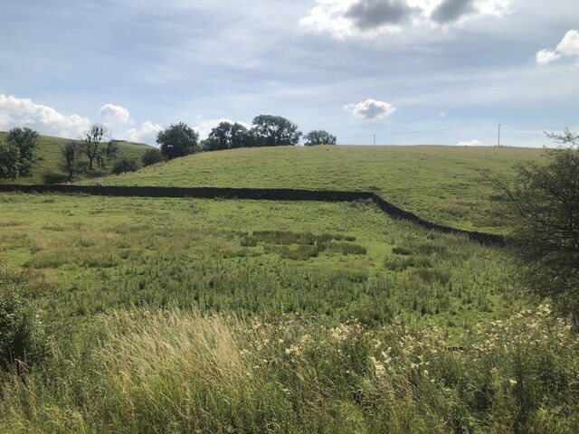
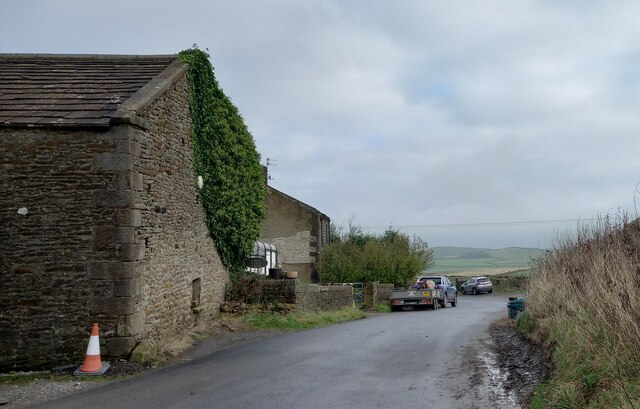
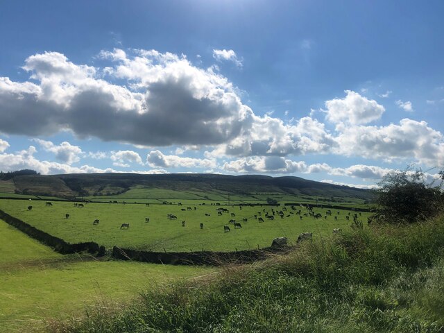
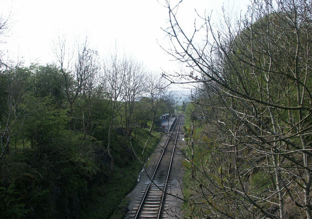
Back Plantation is a picturesque woodland situated in the heart of Yorkshire, England. Covering an expansive area, this enchanting forest is a haven for nature enthusiasts and those seeking tranquility amidst the hustle and bustle of daily life. The plantation boasts a diverse range of tree species, including oak, beech, and birch, creating a rich tapestry of colors throughout the seasons.
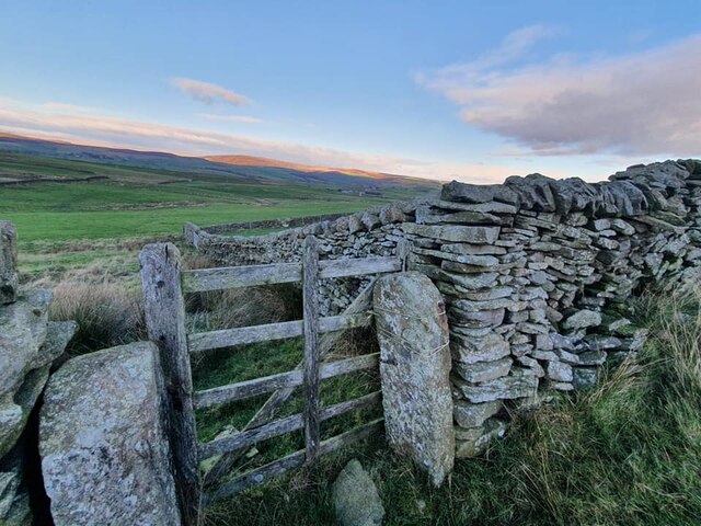
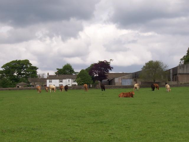
Visitors to Back Plantation are greeted by a network of well-maintained trails that wind their way through the woodland, offering the opportunity to explore its hidden treasures. The paths are suitable for both leisurely strolls and more adventurous hikes, catering to individuals of all fitness levels. Along the way, hikers may encounter a variety of wildlife, such as squirrels, rabbits, and an array of bird species, including woodpeckers and owls.
For those seeking a peaceful retreat, Back Plantation provides ample picnic areas, allowing visitors to relax and immerse themselves in the serenity of the surroundings. The forest also offers a designated camping site, offering a unique opportunity to spend a night under the stars surrounded by nature.
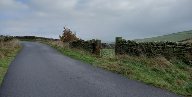
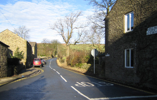
Back Plantation is easily accessible by road, with ample parking available for visitors. It is open throughout the year, and admission is free, making it an ideal destination for families and individuals alike. With its breathtaking scenery and abundant wildlife, Back Plantation is a true gem within the Yorkshire countryside, offering a welcome escape from the demands of everyday life.
If you have any feedback on the listing, please let us know in the comments section below.
Back Plantation Images
Images are sourced within 2km of 53.958024/-1.9561341 or Grid Reference SE0251. Thanks to Geograph Open Source API. All images are credited.


Back Plantation is located at Grid Ref: SE0251 (Lat: 53.958024, Lng: -1.9561341)
Division: West Riding
Administrative County: North Yorkshire
District: Craven
Police Authority: North Yorkshire
What 3 Words
///flitting.boosted.probe. Near Embsay, North Yorkshire
Nearby Locations
Related Wikis

Draughton, North Yorkshire
Draughton (pronounced Draftun) is a village and civil parish, population 240, in the Craven district of North Yorkshire, England. It is situated 3 miles...
Holywell Halt railway station
Holywell Halt railway station is on the Embsay and Bolton Abbey Steam Railway in North Yorkshire, England. == History == The halt was the first extension...

Chelker Reservoir
Chelker Reservoir is a man-made lake in North Yorkshire, England. It lies in the parish of Draughton, immediately north of the A65 road, between Skipton...
Embsay
Embsay is a village in the Craven district of North Yorkshire, England. It is paired with the neighbouring hamlet of Eastby to form the civil parish of...

Embsay and Bolton Abbey Steam Railway
The Embsay and Bolton Abbey Steam Railway (E&BASR) is a heritage railway in North Yorkshire, England, formed in 1979 and opened in 1981. The preserved...
Halton East
Halton East is a village and civil parish in North Yorkshire, England, 3.5 miles (5.6 km) east of Skipton. The population of the parish was estimated...
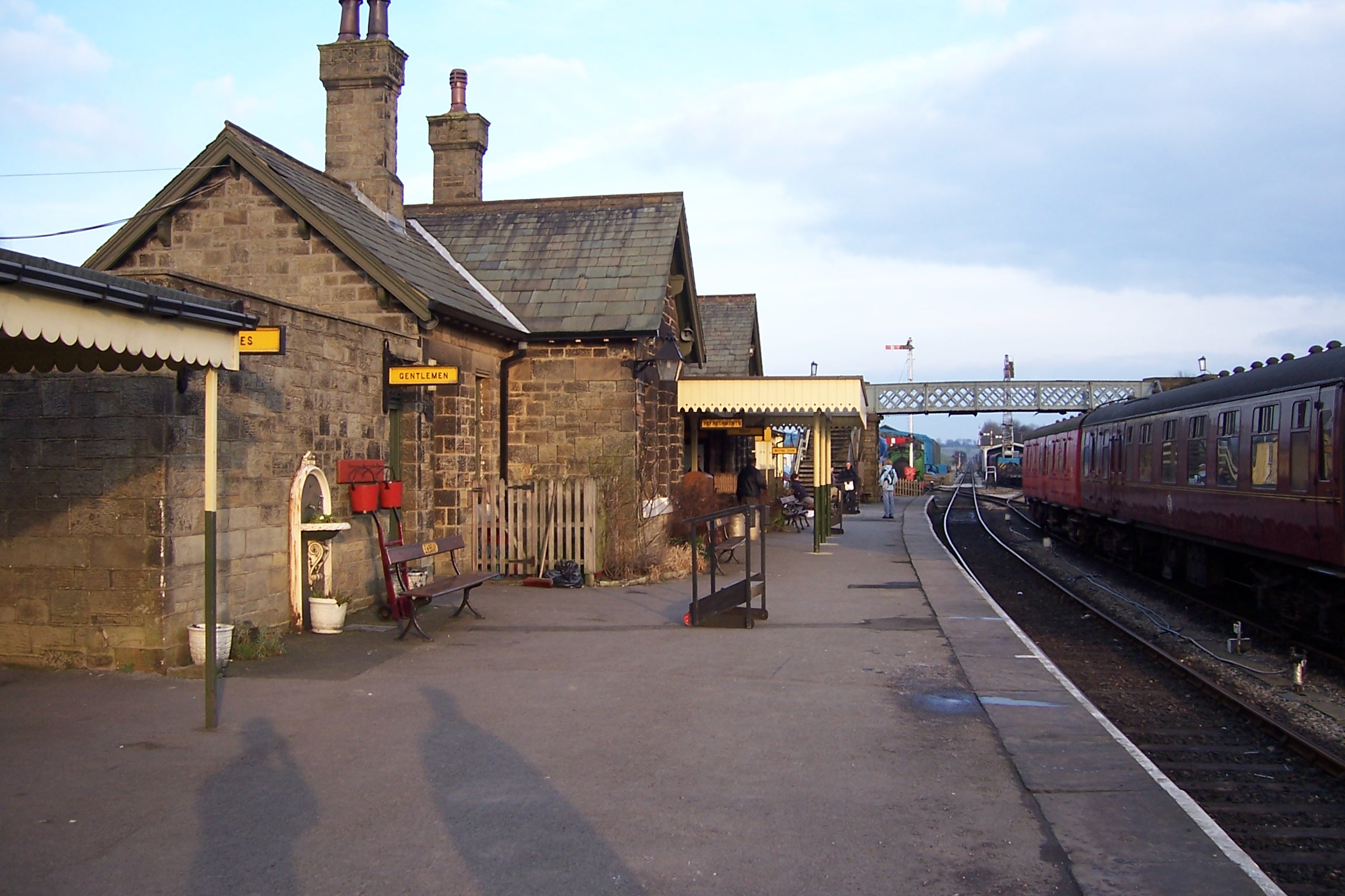
Embsay railway station
Embsay railway station is a railway station on the Embsay and Bolton Abbey Steam Railway. It serves the small village of Embsay in North Yorkshire, England...

Embsay with Eastby
Embsay with Eastby is a civil parish and electoral ward in the Craven district of North Yorkshire, England. Its main settlements are the village of Embsay...
Nearby Amenities
Located within 500m of 53.958024,-1.9561341Have you been to Back Plantation?
Leave your review of Back Plantation below (or comments, questions and feedback).