Bagot Forest
Wood, Forest in Staffordshire Stafford
England
Bagot Forest

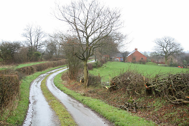
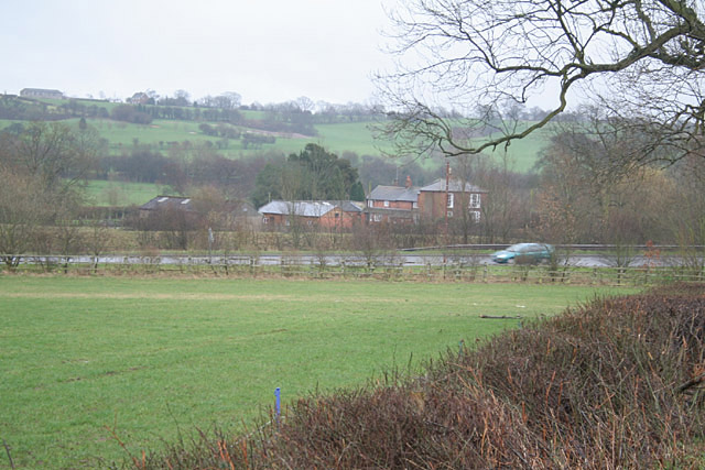
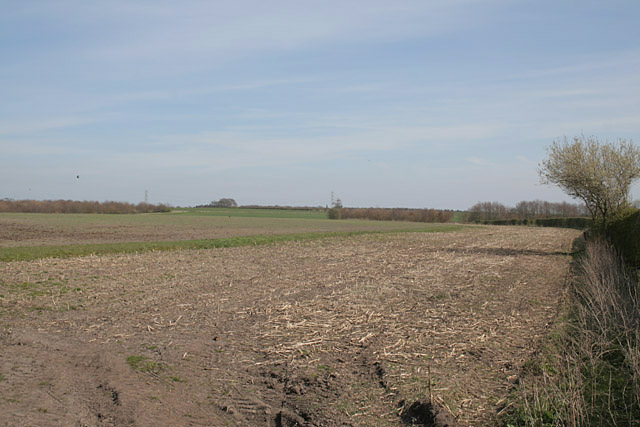
Bagot Forest, located in Staffordshire, England, is a sprawling woodland area that covers approximately 500 hectares. It is nestled within the heart of the National Forest, making it a popular destination for nature enthusiasts and outdoor adventurers. The forest is managed by the Forestry Commission and offers a diverse range of habitats, including ancient woodlands, open grasslands, and wetland areas.
The woodland itself is predominantly made up of broadleaf trees, such as oak, birch, and beech, which create a beautiful and tranquil atmosphere. Visitors can explore the forest through a network of well-maintained footpaths and trails, providing opportunities for walking, cycling, and horse riding. The varied terrain caters to all levels of fitness and outdoor interests.
Bagot Forest is home to a rich and diverse array of wildlife. Birdwatchers can spot a variety of species, including woodpeckers, owls, and buzzards, while mammal enthusiasts may be lucky enough to catch a glimpse of deer, foxes, and badgers. The forest also supports a wide range of plant life, with vibrant wildflowers adding bursts of color to the landscape during the warmer months.
In addition to its natural beauty, Bagot Forest has historical significance as well. It is part of the Bagot Estate, which has been owned by the Bagot family since the 11th century. The forest has witnessed centuries of change and has evolved into the stunning natural environment it is today.
Overall, Bagot Forest offers a peaceful retreat for those seeking to immerse themselves in nature, with its diverse wildlife, scenic trails, and rich history making it a must-visit destination in Staffordshire.
If you have any feedback on the listing, please let us know in the comments section below.
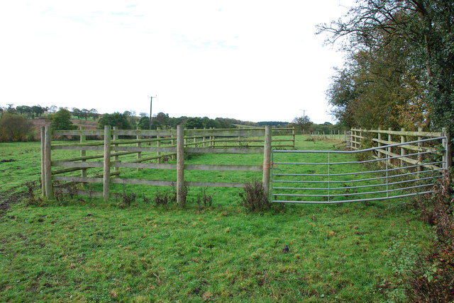
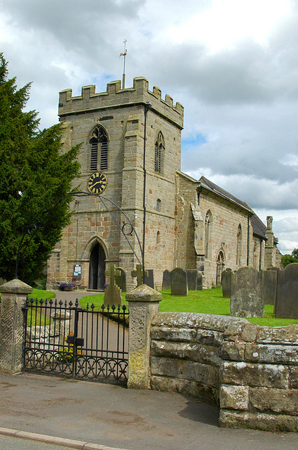
Bagot Forest Images
Images are sourced within 2km of 52.863266/-1.959319 or Grid Reference SK0229. Thanks to Geograph Open Source API. All images are credited.


Bagot Forest is located at Grid Ref: SK0229 (Lat: 52.863266, Lng: -1.959319)
Administrative County: Staffordshire
District: Stafford
Police Authority: Staffordshire
What 3 Words
///health.soups.exulted. Near Great Haywood, Staffordshire
Nearby Locations
Related Wikis

Grindley railway station
Grindley railway station was a former British railway station to serve the village of Grindley in Staffordshire. It was opened by the Stafford and Uttoxeter...

Chartley Moss
Chartley Moss is a 105.80 hectare biological Site of Special Scientific Interest in Staffordshire, notified in 1987. The area has been designated as an...

Gratwich
Gratwich is a village and former civil parish, now in the parish of Kingstone, in the East Staffordshire district, in the county of Staffordshire, England...
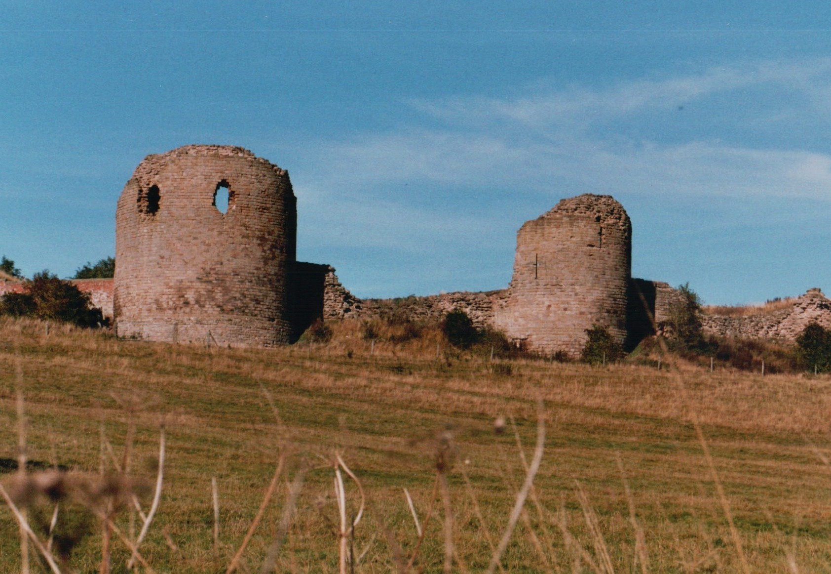
Chartley Castle
Chartley Castle lies in ruins to the north of the village of Stowe-by-Chartley in Staffordshire, between Stafford and Uttoxeter (grid reference SK010285...

Chartley railway station
Chartley railway station was a former British railway station to serve the village of Stowe-by-Chartley in Staffordshire. It was opened by the Stafford...

Kingstone, Staffordshire
Kingstone is a village and civil parish within the English county of Staffordshire. == Population == The 2011 census recorded a population of 629 in 249...
Stowe-by-Chartley
Stowe-by-Chartley is a village and civil parish in the Borough of Stafford, Staffordshire, England. According to the parish council, the parish includes...

Amerton Railway
The Amerton Railway is a 2 ft (610 mm) narrow gauge heritage railway in the English county of Staffordshire. It is owned by Staffordshire Narrow Gauge...
Nearby Amenities
Located within 500m of 52.863266,-1.959319Have you been to Bagot Forest?
Leave your review of Bagot Forest below (or comments, questions and feedback).