Black Plantation
Wood, Forest in Northumberland
England
Black Plantation

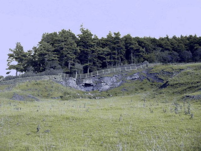
Black Plantation, located in Northumberland, is a sprawling wood and forest area that encompasses approximately 500 acres of land. Situated in the northern part of England, this diverse natural landscape offers a tranquil and picturesque setting for nature enthusiasts and outdoor adventurers alike.
The plantation is primarily composed of a variety of trees, including oak, beech, and pine, which provide a lush canopy and create a dense forest environment. The thick foliage not only offers shade and shelter but also provides a habitat for numerous species of birds, insects, and small mammals.
Traversing the plantation, visitors can enjoy a network of well-maintained trails that wind through the woodland, offering opportunities for leisurely walks, jogging, and cycling. These paths are suitable for individuals of all ages and fitness levels, providing a gentle introduction to the beauty of the natural surroundings.
Black Plantation is also home to a variety of wildlife, including deer, foxes, and squirrels. Birdwatchers will be delighted by the chance to spot species such as owls, woodpeckers, and various songbirds. The plantation's diverse ecosystem and abundance of flora and fauna make it an ideal location for nature photography and wildlife observation.
With its serene atmosphere and scenic beauty, Black Plantation offers a welcome escape from the hustle and bustle of everyday life. Whether visitors are seeking solitude and tranquility or an opportunity to reconnect with nature, this enchanting woodland destination in Northumberland is sure to provide a memorable experience.
If you have any feedback on the listing, please let us know in the comments section below.
Black Plantation Images
Images are sourced within 2km of 54.999898/-1.9579348 or Grid Reference NZ0267. Thanks to Geograph Open Source API. All images are credited.


Black Plantation is located at Grid Ref: NZ0267 (Lat: 54.999898, Lng: -1.9579348)
Unitary Authority: Northumberland
Police Authority: Northumbria
What 3 Words
///riddle.overjoyed.army. Near Corbridge, Northumberland
Nearby Locations
Related Wikis

Milecastle 19
Milecastle 19 (Matfen Piers) was a milecastle of the Roman Hadrian's Wall. Sited just to the east of the hamlet of Matfen Piers, the milecastle is today...

Milecastle 20
Milecastle 20 (Halton Shields) was one of the milecastles on Hadrian's Wall (grid reference NZ01886868). It is situated in the hamlet of Halton Shields...

Milecastle 18
Milecastle 18 (East Wallhouses) was a milecastle of the Roman Hadrian's Wall. It is located to the west of the settlement of East Wallhouses in Northumberland...

Aydon
Aydon is a village and former civil parish, now in the parish of Corbridge, in Northumberland, England. It is about 2 miles (3 km) northeast of Corbridge...
Milecastle 21
Milecastle 21 (Down Hill) was a milecastle of the Roman Hadrian's Wall. The site was identified by measurement only, as the milecastle's remains have...
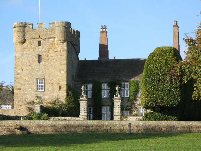
Aydon Castle
Aydon Castle, previously sometimes called Aydon Hall, is a fortified manor house at Aydon near to the town of Corbridge, Northumberland, England. It is...

Newton, Northumberland
Newton is a village and former civil parish, now the parish of Bywell, in Northumberland, England. It is situated close to the A69 road, 3 miles (5 km...
Halton, Northumberland
Halton is a village and former civil parish, now in the parish of Whittington, in the southern part of Northumberland, England. It is situated 3 miles...
Have you been to Black Plantation?
Leave your review of Black Plantation below (or comments, questions and feedback).