Morton Low Wood

Wood, Forest in Worcestershire Wychavon

England

Morton Low Wood

Wychavon Way approaching Rous Lench The Wychavon Way follows a bridleway as it approaches the village of Rous Lench.
Wychavon Way approaching Rous Lench Credit: Philip Halling

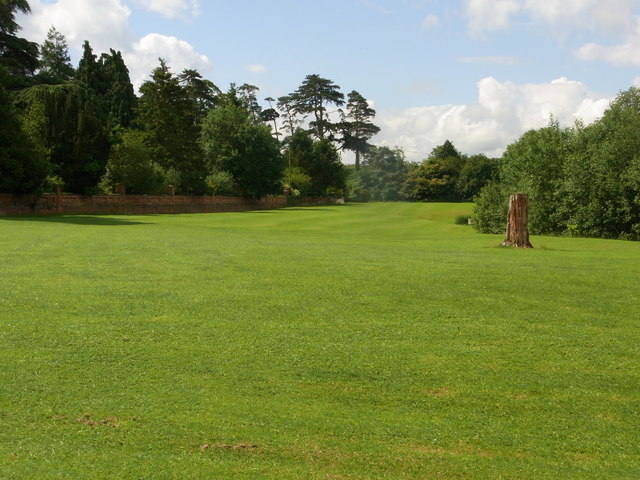
Morton Low Wood is a picturesque village located in the county of Worcestershire, England. Nestled amidst the scenic beauty of the county's lush woodlands, the village is known for its tranquil atmosphere and natural charm. Situated in the heart of the Forest of Worcestershire, Morton Low Wood offers a peaceful retreat for nature lovers and those seeking a break from the hustle and bustle of city life.

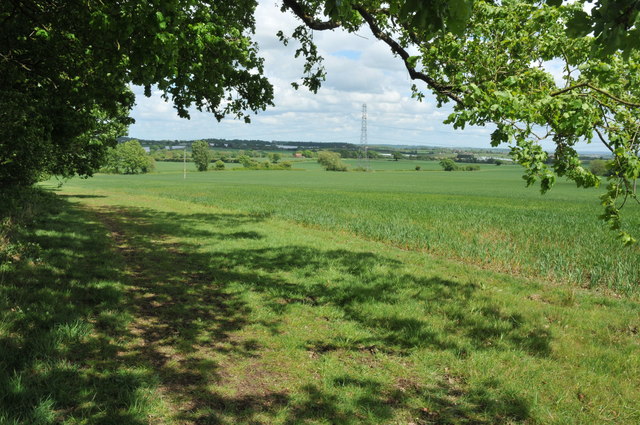
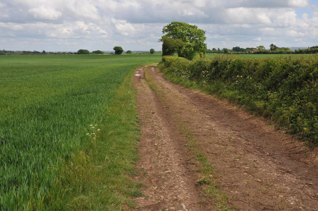
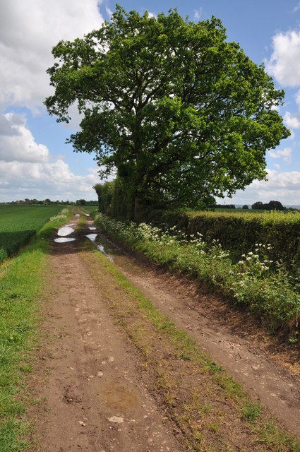
The village is characterized by its quaint cottages and traditional architecture, which add to its rustic appeal. Surrounded by ancient woodlands, Morton Low Wood provides ample opportunities for outdoor activities such as hiking, birdwatching, and exploring the forest trails. The area is also home to a diverse range of flora and fauna, making it a haven for wildlife enthusiasts.

Despite its secluded location, Morton Low Wood is well-connected to nearby towns and cities. The village is within easy reach of the bustling market town of Bewdley, which offers a range of amenities including shops, restaurants, and pubs. The historic city of Worcester is also in close proximity, providing access to cultural attractions, shopping centers, and further transport links.

Morton Low Wood boasts a close-knit community that takes pride in preserving its natural surroundings. Residents and visitors alike can enjoy the peaceful ambiance and unspoiled beauty of the village, making it an ideal destination for those seeking a peaceful and picturesque escape in the heart of Worcestershire's enchanting woodlands.

If you have any feedback on the listing, please let us know in the comments section below.

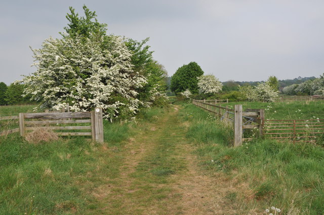
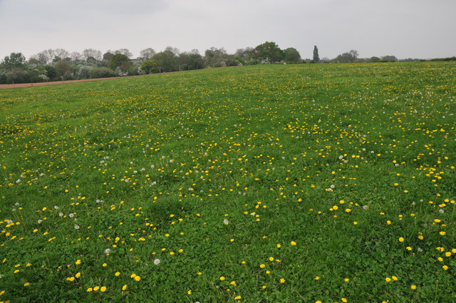
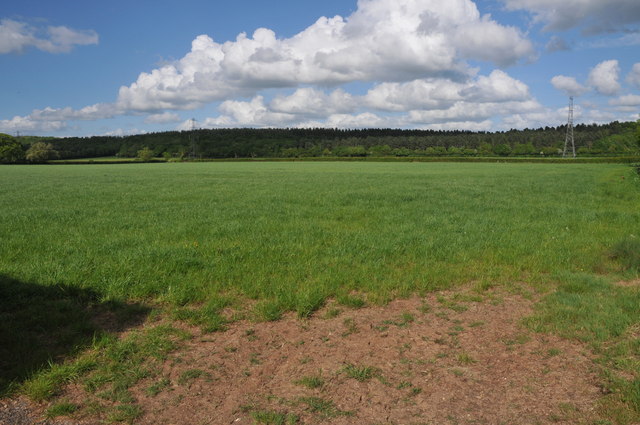
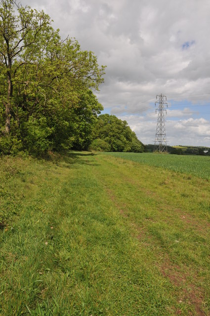
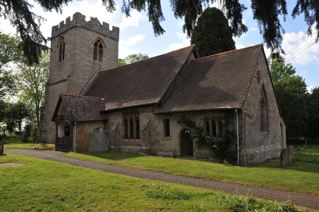
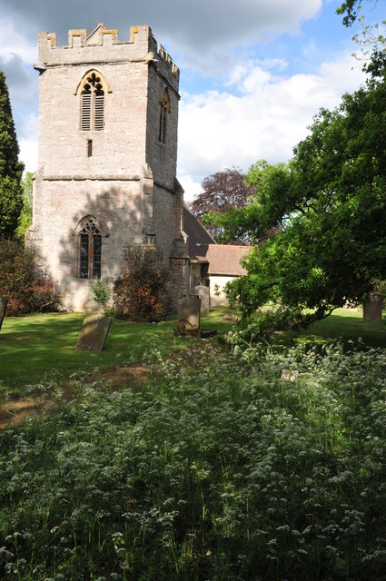
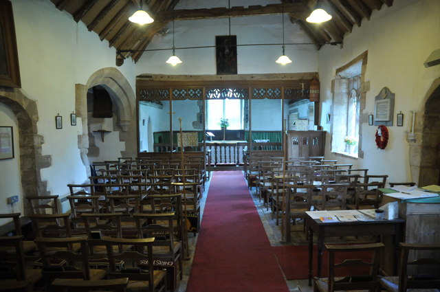
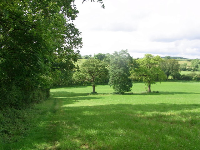
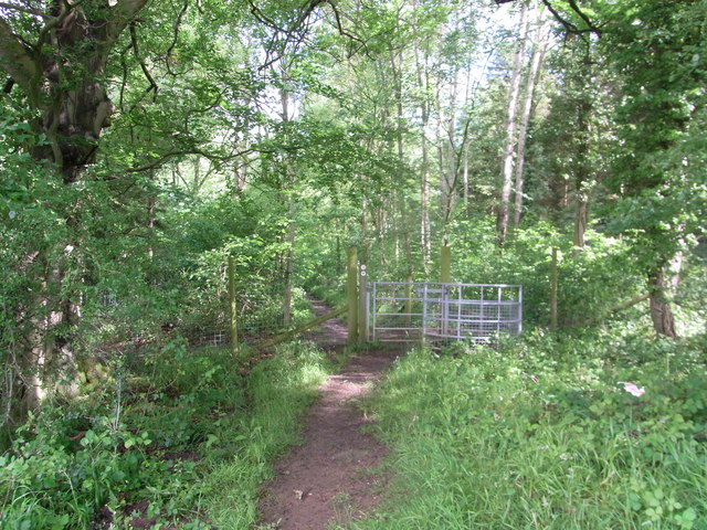
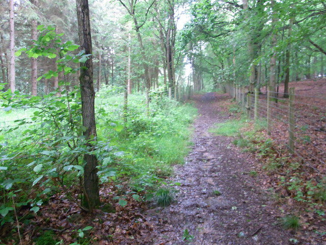
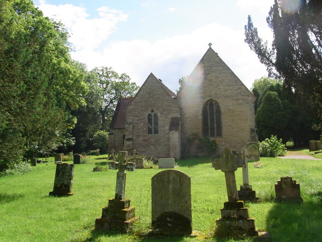
Morton Low Wood Images

Images are sourced within 2km of 52.180205/-1.9610086 or Grid Reference SP0253. Thanks to Geograph Open Source API. All images are credited.

Wychavon Way approaching Rous Lench The Wychavon Way follows a bridleway as it approaches the village of Rous Lench.
Wychavon Way approaching Rous Lench
The Wychavon Way follows a bridleway as it approaches the village of Rous Lench.
Farmland at Radford This grid square is predominantly farmland with footpaths crossing it.
Farmland at Radford
This grid square is predominantly farmland with footpaths crossing it.
Arable land near Abbots Morton View across arable land to the east of Abbots Morton.
Arable land near Abbots Morton
View across arable land to the east of Abbots Morton.
On the border This bridleway follows the hedgerow which marks the county boundary between Worcestershire and Warwickshire.
On the border
This bridleway follows the hedgerow which marks the county boundary between Worcestershire and Warwickshire.
Arable land at Bevington Waste Arable land viewed from a bridleway at Bevington Waste.
Arable land at Bevington Waste
Arable land viewed from a bridleway at Bevington Waste.
Pylons at Bevington Waste Pylons carry power cables across farmland at Bevington Waste.
Pylons at Bevington Waste
Pylons carry power cables across farmland at Bevington Waste.
Pylons in arable land, Bevington Waste Pylons carry power cables through this large arable field at Bevington Waste.
Pylons in arable land, Bevington Waste
Pylons carry power cables through this large arable field at Bevington Waste.
Track to Cock Bevington Track and bridleway across arable land to Cock Bevington.
Track to Cock Bevington
Track and bridleway across arable land to Cock Bevington.
Track to Cock Bevington Track and bridleway to Cock Bevington.
Track to Cock Bevington
Track and bridleway to Cock Bevington.
Abbots Morton church
Abbots Morton church The tower of St Peter's church, Abbots Morton, dates from the 14th century.
Abbots Morton church
The tower of St Peter's church, Abbots Morton, dates from the 14th century.
Interior of Abbots Morton church View along the nave of St Peter's church, Abbots Morton.
Interior of Abbots Morton church
View along the nave of St Peter's church, Abbots Morton.
War Memorial in Abbots Morton church War memorial on the south wall of Abbots Morton church to Philip Raymond Collins who was killed in action in Mesopotamia on January 25, 1917.
War Memorial in Abbots Morton church
War memorial on the south wall of Abbots Morton church to Philip Raymond Collins who was killed in action in Mesopotamia on January 25, 1917.
Wychavon Way along edge of  Old Yew Hill Wood
Wychavon Way along edge of Old Yew Hill Wood
Wychavon Way enters Old Yew Hill Wood
Fenced path alongside track Wychavon Way in Yeald Wood near the northern edge.
Fenced path alongside track
Wychavon Way in Yeald Wood near the northern edge.
St. Peter's church , Rous Lench
Impressive wall bounding the garden of Rous Lench Court
Show me another place!

Morton Low Wood is located at Grid Ref: SP0253 (Lat: 52.180205, Lng: -1.9610086)

Administrative County: Worcestershire

District: Wychavon

Police Authority: West Mercia

What 3 Words

///swims.scorecard.seasons. Near Inkberrow, Worcestershire

Nearby Locations

Morton Low Wood Slade Wood

Related Wikis

Goom's Hill

Goom's Hill is a location near Abbots Morton in Worcestershire, England.

Abbots Morton

Abbots Morton is a village and civil parish in the English county of Worcestershire. It consists of approximately 70 dwellings and 250 people. It retains...

Church Lench

Church Lench is a village and former civil parish, now in the parish of South Lenches, in the Wychavon district, in the county of Worcestershire, England...

Radford, Worcestershire

Radford is a hamlet in the Wychavon district of Worcestershire, England. It is 1 mile SSW of Inkberrow. In 2013, Landscan population maps show there to...

Nearby Amenities

Located within 500m of 52.180205,-1.9610086
Note: road quality changes here - I'd guess this is the end of the maintained road.
Lat/Long: 52.1821041/-1.9565287
Morton Wood Farm
Power: pole
Transformer: distribution
Voltage Primary: 11000
Lat/Long: 52.1812449/-1.9590993
Power: pole
Lat/Long: 52.1821416/-1.9593743
Power: pole
Lat/Long: 52.1827688/-1.9595545
Barrier: stile
Lat/Long: 52.183207/-1.9622254
Power: pole
Lat/Long: 52.1836496/-1.9598115
Barrier: stile
Lat/Long: 52.1836869/-1.9624005
Power: pole
Lat/Long: 52.184509/-1.9600583
Barrier: stile
Lat/Long: 52.1846724/-1.9611484
Power: pole
Lat/Long: 52.1786996/-1.9557893
Power: pole
Lat/Long: 52.1795518/-1.9569018
Power: pole
Lat/Long: 52.1803654/-1.9579816
Barrier: stile
Source: survey
Lat/Long: 52.1767893/-1.9654606
Power: pole
Lat/Long: 52.1843937/-1.9586912
The data included in this document is from www.openstreetmap.org. The data is made available under ODbL.

Have you been to Morton Low Wood?

Leave your review of Morton Low Wood below (or comments, questions and feedback).