Cuckold's Green

Settlement in Suffolk East Suffolk

England

Cuckold's Green

Church of All Saints, Frostenden <span class="nowrap"><a title="https://historicengland.org.uk/listing/the-list/list-entry/1032170?section=official-list-entry" rel="nofollow ugc noopener" href="https://historicengland.org.uk/listing/the-list/list-entry/1032170?section=official-list-entry">Link</a><img style="margin-left:2px;" alt="External link" title="External link - shift click to open in new window" src="https://s1.geograph.org.uk/img/external.png" width="10" height="10"/></span>
Church of All Saints, Frostenden Credit: Sandy Gerrard

Cuckold's Green is a small village located in Suffolk, England. Situated in the Babergh district, it is nestled amidst picturesque countryside and is known for its tranquility and rural charm. The village is approximately 8 miles west of the town of Ipswich and 3 miles east of Hadleigh.

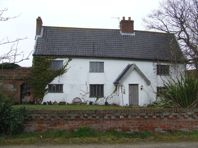
With a population of around 300 residents, Cuckold's Green retains a close-knit community feel. The village is characterized by its idyllic landscapes, featuring rolling green fields, quaint cottages, and a scattering of historic buildings. Many of the houses in Cuckold's Green date back several centuries, adding to the area's historic charm.

The village is surrounded by lush farmland, making it a popular spot for agricultural activities. The local economy is primarily based on farming, with a focus on arable crops and livestock rearing. The area's fertile soil and favorable climate contribute to its agricultural success.

Cuckold's Green boasts several amenities for its residents, including a village hall, where various community events and gatherings take place. Additionally, the village has a small primary school, providing education for the local children.

For those seeking leisure activities, the surrounding countryside offers ample opportunities for walking, cycling, and exploring nature. The nearby River Brett is a popular spot for fishing enthusiasts.

Overall, Cuckold's Green is a charming and peaceful village, offering a quintessential English countryside experience. Its rich history, beautiful landscapes, and strong sense of community make it a sought-after place to live or visit in Suffolk.

If you have any feedback on the listing, please let us know in the comments section below.

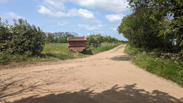
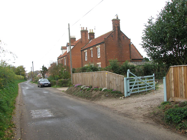
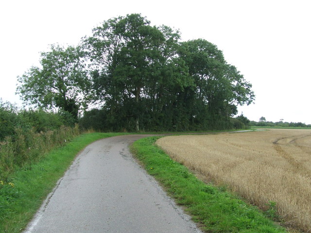
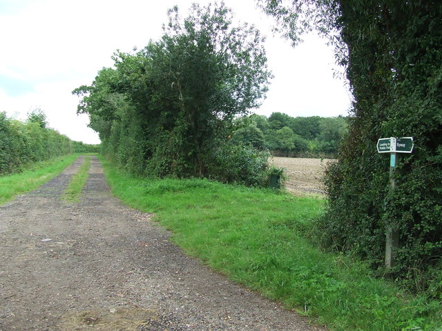
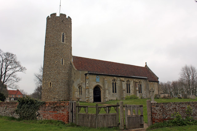
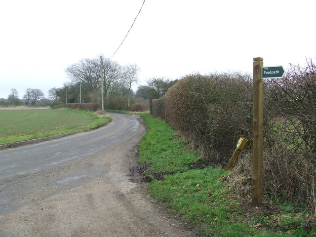
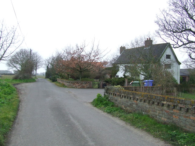
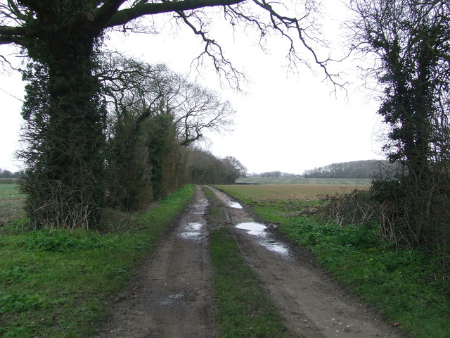
Cuckold's Green Images

Images are sourced within 2km of 52.387633/1.648065 or Grid Reference TM4882. Thanks to Geograph Open Source API. All images are credited.

Church of All Saints, Frostenden <span class="nowrap"><a title="https://historicengland.org.uk/listing/the-list/list-entry/1032170?section=official-list-entry" rel="nofollow ugc noopener" href="https://historicengland.org.uk/listing/the-list/list-entry/1032170?section=official-list-entry">Link</a><img style="margin-left:2px;" alt="External link" title="External link - shift click to open in new window" src="https://s1.geograph.org.uk/img/external.png" width="10" height="10"/></span>
Church of All Saints, Frostenden
Waiting for Life to Emerge Large field near Frostenden Hall.
Waiting for Life to Emerge
Large field near Frostenden Hall.
Green Lane at the Primrose Lane Junction
Church of St. Nicholas, Wrentham <span class="nowrap"><a title="https://historicengland.org.uk/listing/the-list/list-entry/1284532?section=official-list-entry" rel="nofollow ugc noopener" href="https://historicengland.org.uk/listing/the-list/list-entry/1284532?section=official-list-entry">Link</a><img style="margin-left:2px;" alt="External link" title="External link - shift click to open in new window" src="https://s1.geograph.org.uk/img/external.png" width="10" height="10"/></span>
Church of St. Nicholas, Wrentham
Wrentham War Memorial <span class="nowrap"><a title="https://historicengland.org.uk/listing/the-list/list-entry/1458655?section=official-list-entry" rel="nofollow ugc noopener" href="https://historicengland.org.uk/listing/the-list/list-entry/1458655?section=official-list-entry">Link</a><img style="margin-left:2px;" alt="External link" title="External link - shift click to open in new window" src="https://s1.geograph.org.uk/img/external.png" width="10" height="10"/></span>
Wrentham War Memorial
Crop field east of Wrentham North of Mill Lane.
Crop field east of Wrentham
North of Mill Lane.
Mill Lane Looking towards Wrentham
Mill Lane
Looking towards Wrentham
To Wrentham on Lock's Lane
Mill Lane, Wrentham The house used to be the police house, it is now a private dwelling.
Mill Lane, Wrentham
The house used to be the police house, it is now a private dwelling.
The former police house in Mill Lane, Wrentham
Approaching Wrentham on Mill Lane
Track Footpath and farm track near to Clay Common, Suffolk.
Track
Footpath and farm track near to Clay Common, Suffolk.
Footpath Junction Footpath junction on Green Lane and Primrose lane near to Clay Common, Suffolk.
Footpath Junction
Footpath junction on Green Lane and Primrose lane near to Clay Common, Suffolk.
All Saints Church, Church Lane, Frostenden Grade I Listed medieval church restored about 1890 according to the listing. A photograph by Henry Munro Cautley FSA ARIBA labelled 'Restored and re-opened 9th April 1936' shows the church with no roof and roof trusses partially replaced. The tower is either Norman or even Saxon and one of Suffolk's oldest round towers. All Saints was built in the 13th century and the main body of the church consists of  nave, chancel, and 15th century south aisle. The nave door and lean-to aisle roof are largely original. The parish registers date from 1538. The Domesday Book of 1086 shows that sea-going ships tied up here, indicating that the now dried-up river bed behind the church was once navigable. There were also two churches here.
All Saints Church, Church Lane, Frostenden
Grade I Listed medieval church restored about 1890 according to the listing. A photograph by Henry Munro Cautley FSA ARIBA labelled 'Restored and re-opened 9th April 1936' shows the church with no roof and roof trusses partially replaced. The tower is either Norman or even Saxon and one of Suffolk's oldest round towers. All Saints was built in the 13th century and the main body of the church consists of nave, chancel, and 15th century south aisle. The nave door and lean-to aisle roof are largely original. The parish registers date from 1538. The Domesday Book of 1086 shows that sea-going ships tied up here, indicating that the now dried-up river bed behind the church was once navigable. There were also two churches here.
Footpath Sign Footpath sign and footpath off Falcon Inn Road near to Cuckold's Green, Suffolk.
Footpath Sign
Footpath sign and footpath off Falcon Inn Road near to Cuckold's Green, Suffolk.
Falcon Inn Road White House Farm on Falcon Inn Road at Cuckold's Green, Suffolk.
Falcon Inn Road
White House Farm on Falcon Inn Road at Cuckold's Green, Suffolk.
White House Farm White House farm house at Cuckold's Green, Suffolk.
White House Farm
White House farm house at Cuckold's Green, Suffolk.
Footpath Footpath looking north near to Cuckold's Green, Suffolk.
Footpath
Footpath looking north near to Cuckold's Green, Suffolk.
Show me another place!

Cuckold's Green is located at Grid Ref: TM4882 (Lat: 52.387633, Lng: 1.648065)

Administrative County: Suffolk

District: East Suffolk

Police Authority: Suffolk

What 3 Words

///milky.instructs.routines. Near Kessingland, Suffolk

Related Wikis

Wrentham Hall

Wrentham Hall was a large now-demolished Manor House to the north-west of the village of Wrentham, Suffolk, England and which stood on what is now Blackmoor...

Wrentham, Suffolk

Wrentham is a village and civil parish in the East Suffolk district, in the north-east of the English county of Suffolk. It is located about 2 miles (3...

Old Town Hall, Wrentham

The Old Town Hall is a former municipal building in the High Street in Wrentham, Suffolk, England. The building, which was the meeting place of Wrentham...

Frostenden

Frostenden is a village and civil parish in the East Suffolk district of the English county of Suffolk. It is around 8 miles (13 km) south-west of Lowestoft...

Nearby Amenities

Located within 500m of 52.387633,1.648065
Bench
Lat/Long: 52.3864602/1.6465568
Power: pole
Lat/Long: 52.3908338/1.6507629
Power: pole
Lat/Long: 52.3894432/1.6513503
Power: pole
Lat/Long: 52.3880796/1.651939
Power: pole
Lat/Long: 52.387018/1.6523655
Power: pole
Lat/Long: 52.3861324/1.6527155
Power: pole
Lat/Long: 52.3850961/1.6531701
The data included in this document is from www.openstreetmap.org. The data is made available under ODbL.

Have you been to Cuckold's Green?

Leave your review of Cuckold's Green below (or comments, questions and feedback).