Cowslait Grove

Wood, Forest in Gloucestershire Cotswold

England

Cowslait Grove

Cow parsley on the grass verge Cow parsley on a grass verge on a roadside beside the site of former RAF Chedworth.
Cow parsley on the grass verge Credit: Philip Halling

Cowslait Grove is a charming woodland located in Gloucestershire, England. Situated near the village of Cowslait, it covers an area of approximately 50 acres and is known for its tranquil and picturesque surroundings. The grove is primarily composed of deciduous trees, such as oak, beech, and ash, which create a dense canopy overhead, providing shade and shelter for a variety of wildlife.

The forest floor is covered in a thick carpet of moss, ferns, and wildflowers, including the namesake cowslips that bloom in abundance during the spring months. This vibrant burst of color attracts many visitors who come to admire the natural beauty and enjoy peaceful walks amidst the trees.

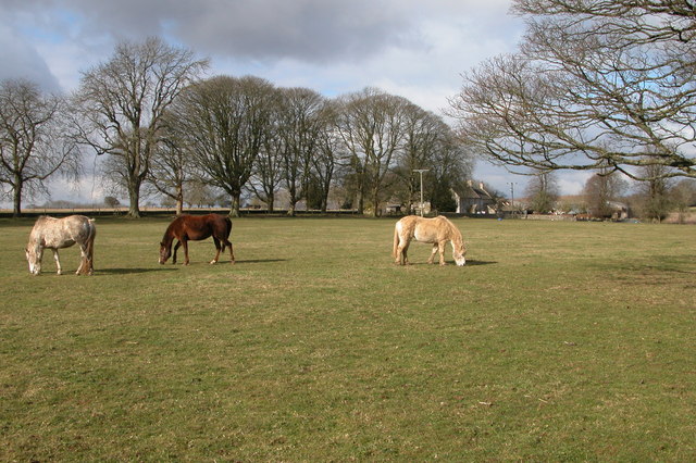
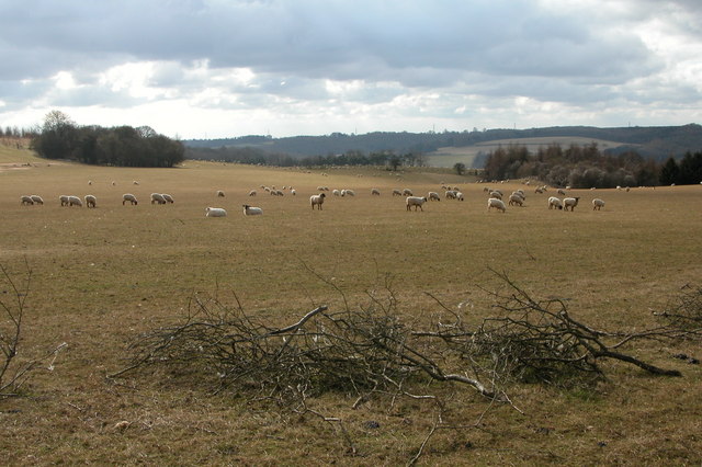
Cowslait Grove is also home to an array of wildlife. Bird enthusiasts will delight in the opportunity to spot species such as woodpeckers, owls, and thrushes, as they flit from branch to branch. The grove is also a haven for small mammals like squirrels, rabbits, and hedgehogs, which can often be spotted scurrying about or foraging for food.

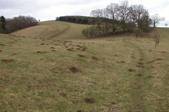
The grove has several well-marked walking trails, allowing visitors to explore its enchanting scenery at their own pace. These trails meander through the forest, taking visitors past ancient trees, babbling brooks, and occasional clearings where they can rest and admire the view.

Overall, Cowslait Grove offers a serene escape from the hustle and bustle of everyday life. With its idyllic setting, diverse flora and fauna, and well-maintained trails, it is a must-visit destination for nature lovers and those seeking a peaceful retreat in the heart of Gloucestershire.

If you have any feedback on the listing, please let us know in the comments section below.

Cowslait Grove Images

Images are sourced within 2km of 51.819256/-1.9614204 or Grid Reference SP0213. Thanks to Geograph Open Source API. All images are credited.

Cow parsley on the grass verge Cow parsley on a grass verge on a roadside beside the site of former RAF Chedworth.
Cow parsley on the grass verge
Cow parsley on a grass verge on a roadside beside the site of former RAF Chedworth.
Road junction Road junction near Chedworth Laines.
Road junction
Road junction near Chedworth Laines.
Woods east of Colesbourne
Nissen Huts, Chedworth Airfield World War 2 Nissen Huts converted for farming use at the north end of Chedworth Airfield
Nissen Huts, Chedworth Airfield
World War 2 Nissen Huts converted for farming use at the north end of Chedworth Airfield
The White Way Looking south along the White Way towards Cirencester. This Roman road serviced the villas in this part of the Cotswolds and it may also have been used as a salt way. The southern perimeter track of Chedworth airfield ran behind the trees.
The White Way
Looking south along the White Way towards Cirencester. This Roman road serviced the villas in this part of the Cotswolds and it may also have been used as a salt way. The southern perimeter track of Chedworth airfield ran behind the trees.
Chedworth Airfield Looking east at the point where the road cuts across the main runway of the former RAF station at Chedworth. The base opened in 1942 and was home to 12 Group Tactical Exercise Unit.
Chedworth Airfield
Looking east at the point where the road cuts across the main runway of the former RAF station at Chedworth. The base opened in 1942 and was home to 12 Group Tactical Exercise Unit.
Cottage at Colnbrook, Withington This cottage situated just outside Withington is by the River Coln, a tributary of the River Thames.
Cottage at Colnbrook, Withington
This cottage situated just outside Withington is by the River Coln, a tributary of the River Thames.
Air Raid shelter in Withington Woods Presumably this shelter in Withington Woods was used by people based at the nearby airfield.
Air Raid shelter in Withington Woods
Presumably this shelter in Withington Woods was used by people based at the nearby airfield.
Farm Woodlands This farm is high on the Cotswolds to the south of Withington Woods.
Farm Woodlands
This farm is high on the Cotswolds to the south of Withington Woods.
Ridge and Furrow field, near Colesbourne Evidence of medieval farming practices on this field to the south-west of the farm at Woodlands.
Ridge and Furrow field, near Colesbourne
Evidence of medieval farming practices on this field to the south-west of the farm at Woodlands.
Sheep grazing near Colesbourne Today much of the Cotswolds is arable, here the land is used for the traditional use of sheep grazing. In Medieval times wool was a major export and the churches and manor houses of the Cotswolds reflect the wealth the wool trade created.
Sheep grazing near Colesbourne
Today much of the Cotswolds is arable, here the land is used for the traditional use of sheep grazing. In Medieval times wool was a major export and the churches and manor houses of the Cotswolds reflect the wealth the wool trade created.
Valley between Monkham Wood and Boy's Grove This valley is above Colesbourne. A bridleway can be seen as it crosses through the valley en-route between Colesbourne and Chedworth.
Valley between Monkham Wood and Boy's Grove
This valley is above Colesbourne. A bridleway can be seen as it crosses through the valley en-route between Colesbourne and Chedworth.
Cottage at Hill Barn, Withington
Hedge Laying near Withington This hedge is on the side of the road from Withington to Colesbourne.
Hedge Laying near Withington
This hedge is on the side of the road from Withington to Colesbourne.
Pylon and power lines These power lines are just in the grid square, beyond are Withington Woods. This view is from the road in the next square to the north.
Pylon and power lines
These power lines are just in the grid square, beyond are Withington Woods. This view is from the road in the next square to the north.
Entrance to Manor Farm grainstore This land is the site of a former wartime airfield.
Entrance to Manor Farm grainstore
This land is the site of a former wartime airfield.
Old aircraft hangar One of the few buildings remaining intact at the disused airfield.
Old aircraft hangar
One of the few buildings remaining intact at the disused airfield.
Disused runway An old, worn runway at Chedworth airfield.
Disused runway
An old, worn runway at Chedworth airfield.
Show me another place!

Cowslait Grove is located at Grid Ref: SP0213 (Lat: 51.819256, Lng: -1.9614204)

Administrative County: Gloucestershire

District: Cotswold

Police Authority: Gloucestershire

What 3 Words

///nooks.pulsing.twee. Near Northleach, Gloucestershire

Nearby Locations

Cowslait Grove

Related Wikis

RAF Chedworth

Royal Air Force Chedworth or more simply RAF Chedworth is a former Royal Air Force satellite station located near Chedworth, Gloucestershire, England....

Withington, Gloucestershire

Withington is a Cotswold village and civil parish in Gloucestershire, England, about 7 miles (11 km) southeast of Cheltenham and 8 miles (13 km) north...

Church of St Michael, Withington

The Anglican Church of St Michael at Withington in the Cotswold District of Gloucestershire, England was built in the 12th century. It is a grade I listed...

Chedworth Nature Reserve

Chedworth Nature Reserve (grid reference SP048143) is a 6-hectare (15-acre) nature reserve in Gloucestershire. The site is listed in the 'Cotswold District...

Nearby Amenities

Located within 500m of 51.819256,-1.9614204
Bunker Type: air-raid shelter
Military: bunker
Lat/Long: 51.8217404/-1.9560712
The data included in this document is from www.openstreetmap.org. The data is made available under ODbL.

Have you been to Cowslait Grove?

Leave your review of Cowslait Grove below (or comments, questions and feedback).