Birkenside Wood
Wood, Forest in Northumberland
England
Birkenside Wood

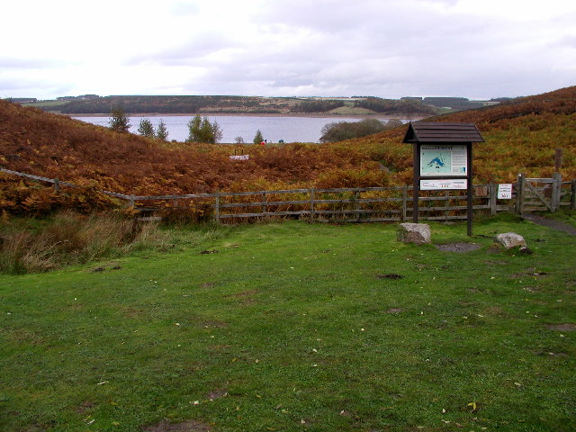
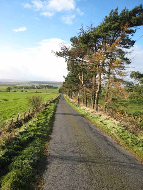
Birkenside Wood is a picturesque forest located in Northumberland, England. Spanning over a vast area, this wood is a haven for nature enthusiasts and those seeking tranquility amidst stunning natural beauty.
The wood is characterized by its dense canopy of birch trees, which give it its name. The tall, slender trunks of these trees create a mesmerizing sight, particularly when the sunlight filters through the leaves, casting a dappled glow on the forest floor. The wood is also home to a diverse range of flora and fauna, making it an ideal destination for both botany enthusiasts and birdwatchers.
Walking through Birkenside Wood, visitors can explore a network of well-maintained trails that wind through the forest. These trails offer the perfect opportunity to immerse oneself in nature, with the sound of birdsong and the fragrance of wildflowers filling the air. Along the way, one might encounter various species of wildlife, including deer, foxes, and rabbits, adding to the enchantment of the woodland experience.
In addition to its natural beauty, Birkenside Wood also holds historical significance. The wood is thought to have been designated as a Royal Hunting Forest back in medieval times, a testament to its rich heritage. Today, remnants of ancient structures and boundary walls can still be found within the wood, serving as a reminder of its storied past.
Overall, Birkenside Wood is a captivating destination that offers a serene and immersive experience in the heart of Northumberland. Whether it's a peaceful stroll, wildlife spotting, or a journey through history, this woodland has something to offer to all who venture within its borders.
If you have any feedback on the listing, please let us know in the comments section below.
Birkenside Wood Images
Images are sourced within 2km of 54.871/-1.9612626 or Grid Reference NZ0252. Thanks to Geograph Open Source API. All images are credited.


Birkenside Wood is located at Grid Ref: NZ0252 (Lat: 54.871, Lng: -1.9612626)
Unitary Authority: Northumberland
Police Authority: Northumbria
What 3 Words
///swinging.chuckling.scout. Near Muggleswick, Co. Durham
Nearby Locations
Related Wikis

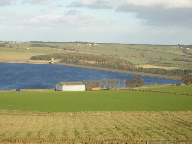
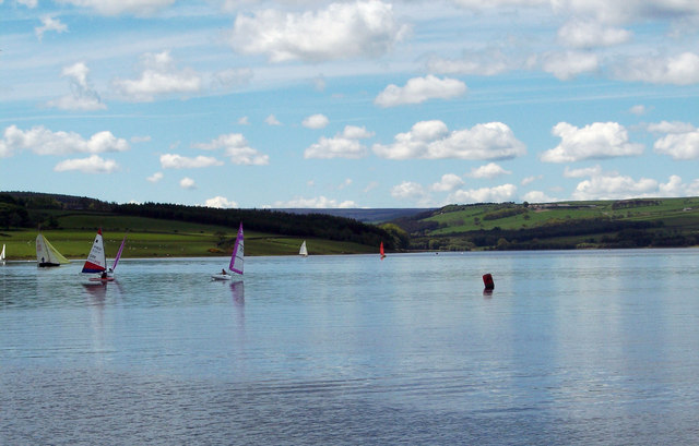
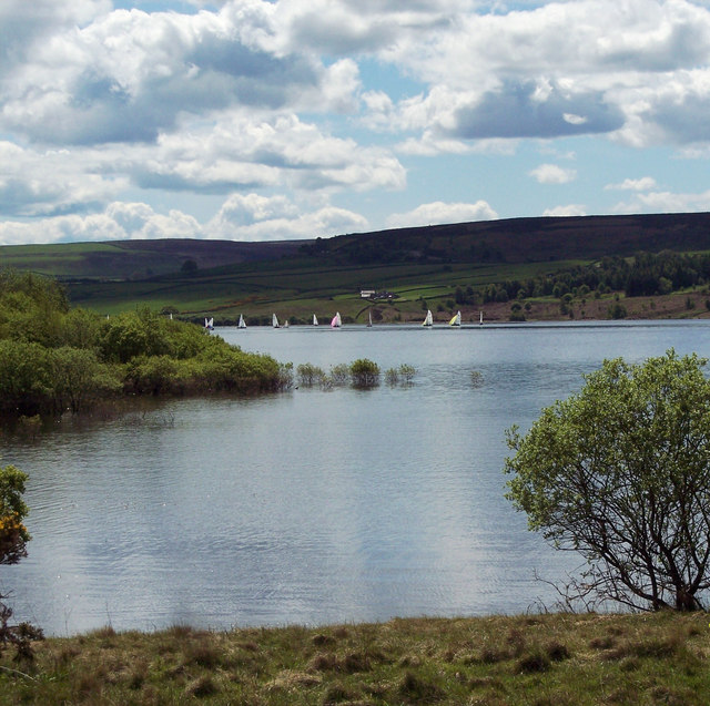
Derwent Reservoir (North East England)
The Derwent Reservoir is a reservoir on the River Derwent, on the border between County Durham and Northumberland, in England. It is west of Consett. It...

Pow Hill Bog
Pow Hill Bog is a Site of Special Scientific Interest in the Wear Valley district of County Durham, England. It lies alongside Derwent Reservoir, approximately...

Burnhope Burn
Burnhope Burn is a Site of Special Scientific Interest in the Wear Valley district of north County Durham, England. It consists of a 12.6-acre (5.1 ha...

Carterway Heads
Carterway Heads is a hamlet in Northumberland, England. It is situated between Consett and the Derwent Reservoir, at the intersection of the A68 and B6278...

Minsteracres
Minsteracres is an 18th-century mansion house, now a Christian retreat centre, in Northumberland, England. It is a Grade II listed building.The house was...
Edmundbyers
Edmundbyers is a village in County Durham, in England. It is situated a few miles to the west of Consett, near Derwent Reservoir. In 2001 it had a population...
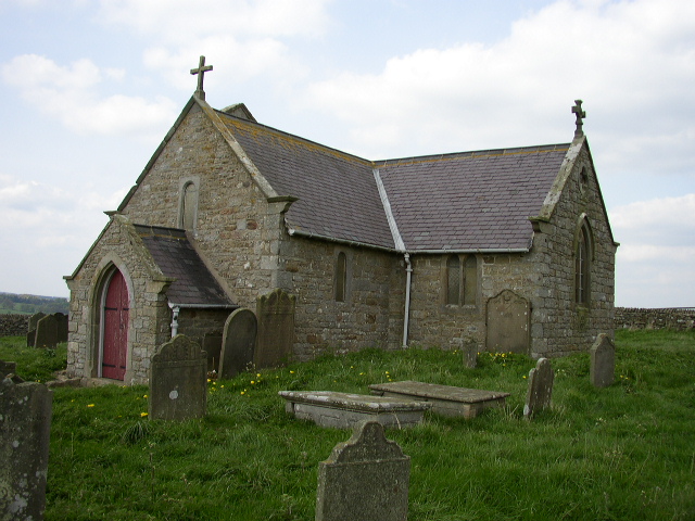
St Andrew's Church, Shotley
St Andrew's Church, Shotley, is a redundant Anglican church standing in an isolated position at a height of 960 feet (293 m) on Greymare Hill in Northumberland...
Muggleswick
Muggleswick is a village and civil parish in County Durham, England. It is situated a few miles to the west of Consett. the population was 130 at the 2001...
Nearby Amenities
Located within 500m of 54.871,-1.9612626Have you been to Birkenside Wood?
Leave your review of Birkenside Wood below (or comments, questions and feedback).