Cubley Common
Settlement in Derbyshire Derbyshire Dales
England
Cubley Common
Cubley Common is a small village located in the county of Derbyshire, England. Situated approximately 5 miles southwest of the town of Ashbourne, it lies within the picturesque landscape of the Peak District National Park.
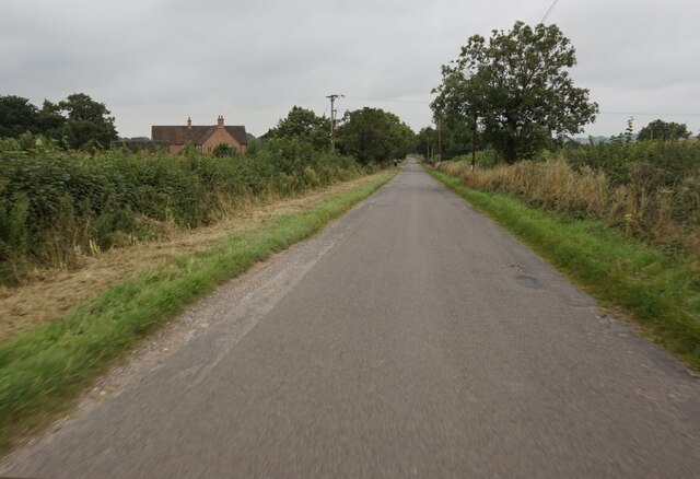
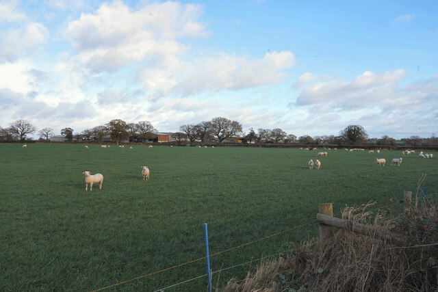
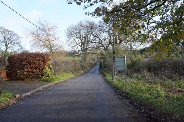
The village is known for its tranquil and rural setting, offering residents and visitors a peaceful escape from the hustle and bustle of larger towns and cities. Surrounded by rolling hills, vast meadows, and charming countryside, Cubley Common is an idyllic location for nature lovers and hikers.
The village itself is small, with a population of around 200 people. It features a mix of traditional cottages and modern houses, providing a sense of both history and contemporary living. The community is close-knit, with a friendly and welcoming atmosphere.
Cubley Common is home to a few amenities, including a village hall, a primary school, and a local pub. The pub, with its cozy interior and traditional charm, serves as a popular gathering spot for residents and visitors alike.
In terms of attractions, the village is located within close proximity to several notable landmarks and tourist destinations. Dovedale, a stunning limestone ravine and nature reserve, is just a short drive away, offering beautiful walks and breathtaking scenery. The historic market town of Ashbourne is also nearby, providing a range of shops, restaurants, and historical sites.
Overall, Cubley Common offers a tranquil and picturesque retreat in the heart of Derbyshire, making it an appealing destination for those seeking the beauty of the English countryside.
If you have any feedback on the listing, please let us know in the comments section below.
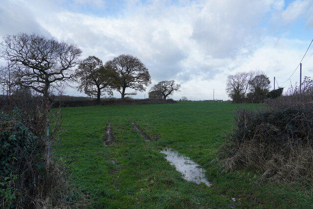
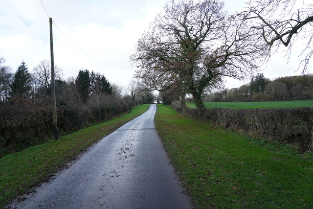
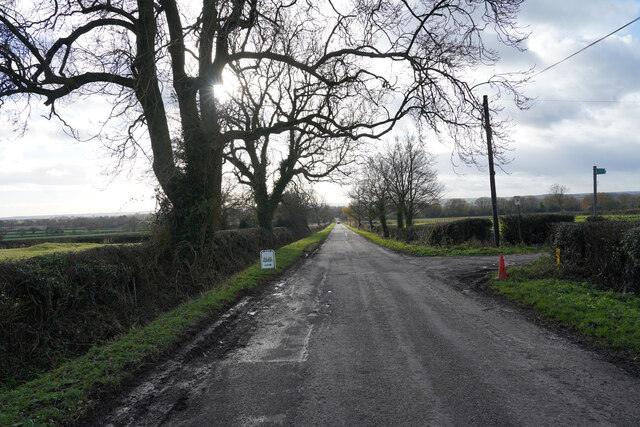
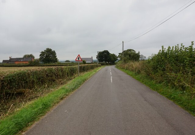
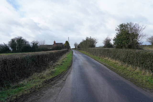
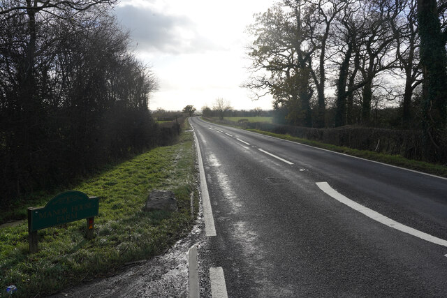
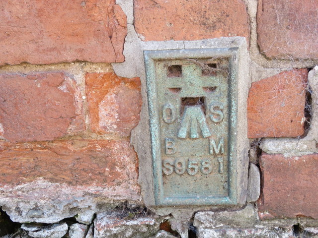
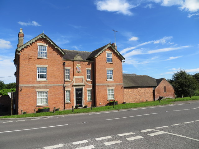
Cubley Common Images
Images are sourced within 2km of 52.949024/-1.761836 or Grid Reference SK1639. Thanks to Geograph Open Source API. All images are credited.


Cubley Common is located at Grid Ref: SK1639 (Lat: 52.949024, Lng: -1.761836)
Administrative County: Derbyshire
District: Derbyshire Dales
Police Authority: Derbyshire
What 3 Words
///blunders.scribbled.qualified. Near Mayfield, Staffordshire
Nearby Locations
Related Wikis

Cubley, Derbyshire
Cubley is a parish of two closely linked villages six miles (10 km) south of Ashbourne in Derbyshire. Great Cubley and Little Cubley are known collectively...

Stydd Hall
Stydd Hall (Castle) is a country house located near to the village of Yeaveley, Derbyshire, 15 miles (24 km) west of Derby, close to the A515 between Wyaston...

Yeaveley Preceptory
Yeaveley Preceptory, also known as Stydd Preceptory, was a preceptory of the Knights Hospitaller, near the village of Yeaveley, in Derbyshire, England...
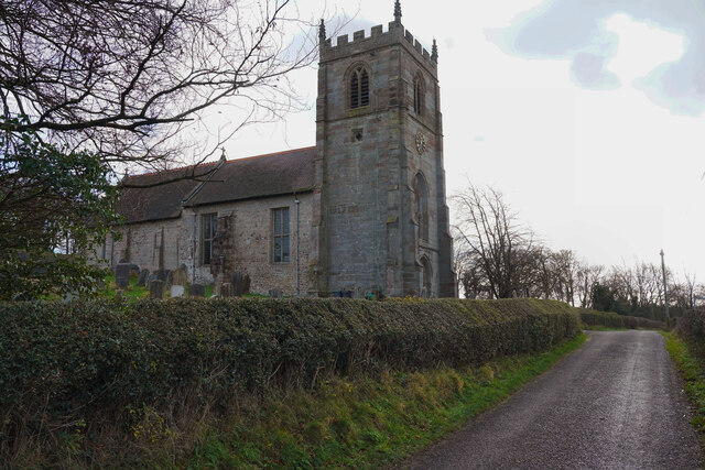
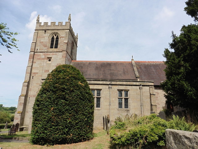
St Andrew's Church, Cubley
St Andrew's Church, Cubley is a Grade I listed parish church in the Church of England in Cubley, Derbyshire. == History == The church dates from the...
Nearby Amenities
Located within 500m of 52.949024,-1.761836Have you been to Cubley Common?
Leave your review of Cubley Common below (or comments, questions and feedback).