Hardings Wood

Wood, Forest in Staffordshire Stafford

England

Hardings Wood

Ordnance Survey Flush Bracket 11448 This can be found on the parapet wall of a roadside drain near Normanswood Farm.
For more detail see : <span class="nowrap"><a title="http://www.bench-marks.org.uk/bm19179" rel="nofollow ugc noopener" href="http://www.bench-marks.org.uk/bm19179">Link</a><img style="margin-left:2px;" alt="External link" title="External link - shift click to open in new window" src="https://s1.geograph.org.uk/img/external.png" width="10" height="10"/></span>
Ordnance Survey Flush Bracket 11448 Credit: Peter Wood

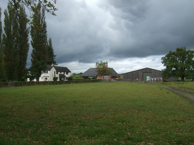
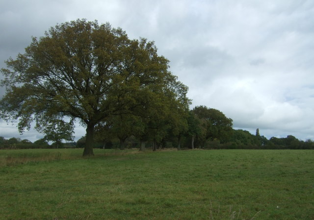
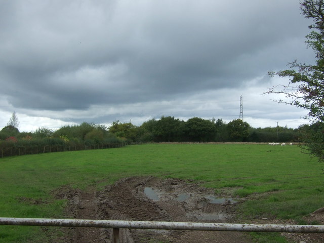
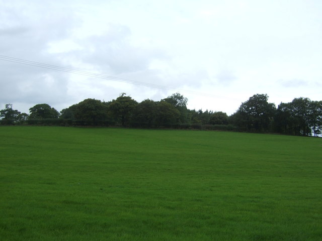
Hardings Wood is a small woodland area located in Staffordshire, England. Situated near the town of Wood, it covers an approximate area of 20 acres. The woodland is primarily composed of deciduous trees, including oak, birch, and beech, which provide a rich and diverse habitat for various species of flora and fauna.

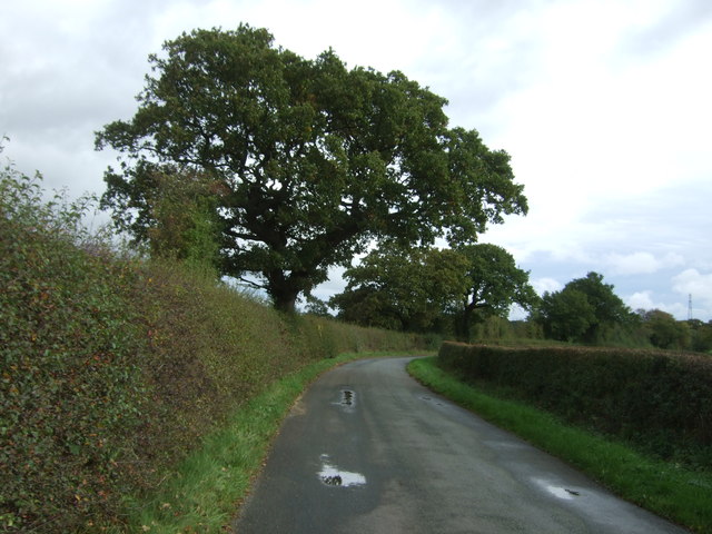
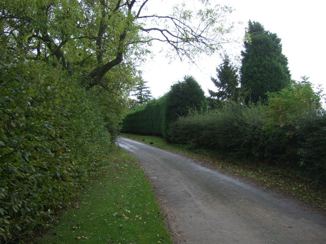
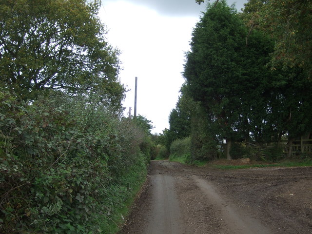
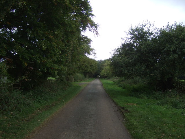
The forest is a popular destination for nature lovers and outdoor enthusiasts, offering a tranquil and peaceful setting for leisurely walks and wildlife observation. The well-maintained footpaths wind their way through the woods, allowing visitors to explore the natural beauty of the area. Along the paths, one can admire the vibrant wildflowers that bloom during the spring and summer months, adding splashes of color to the green landscape.

Hardings Wood is home to a variety of wildlife, including squirrels, badgers, foxes, and numerous bird species. Birdwatchers can often spot robins, blackbirds, and woodpeckers among the trees, while lucky visitors may even catch a glimpse of a tawny owl or a buzzard soaring overhead.

The woodland serves as an important ecological site, contributing to the conservation of native woodland species and providing a valuable habitat for many organisms. The Staffordshire Wildlife Trust actively manages the area, ensuring the preservation of the natural environment and the promotion of biodiversity.

Overall, Hardings Wood offers a peaceful retreat from the hustle and bustle of everyday life, welcoming visitors to enjoy the serenity of nature and discover the wonders of this Staffordshire woodland.

If you have any feedback on the listing, please let us know in the comments section below.

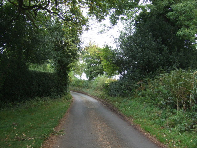
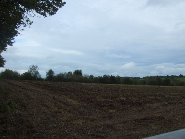
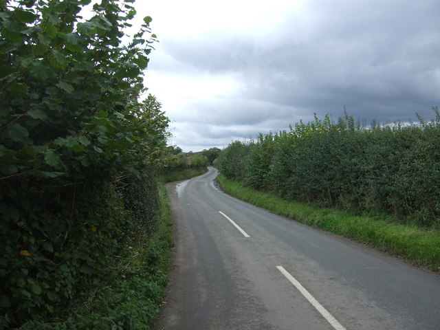
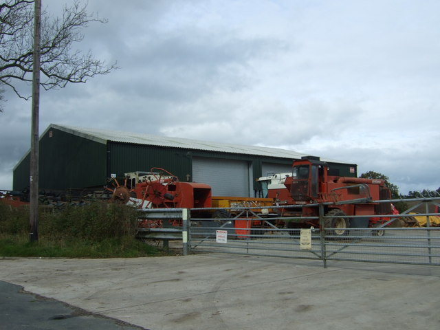
Hardings Wood Images

Images are sourced within 2km of 52.849091/-1.9651083 or Grid Reference SK0227. Thanks to Geograph Open Source API. All images are credited.

Ordnance Survey Flush Bracket 11448 This can be found on the parapet wall of a roadside drain near Normanswood Farm.
For more detail see : <span class="nowrap"><a title="http://www.bench-marks.org.uk/bm19179" rel="nofollow ugc noopener" href="http://www.bench-marks.org.uk/bm19179">Link</a><img style="margin-left:2px;" alt="External link" title="External link - shift click to open in new window" src="https://s1.geograph.org.uk/img/external.png" width="10" height="10"/></span>
Ordnance Survey Flush Bracket 11448
This can be found on the parapet wall of a roadside drain near Normanswood Farm. For more detail see : LinkExternal link
Drointon Lane near the entrance to Normanswood Farm Looking north-eastward.
Drointon Lane near the entrance to Normanswood Farm
Looking north-eastward.
Ordnance Survey Flush Bracket G3874 This can be found on the wall of a barn at Upper Farm, Drointon.
For more detail see : <span class="nowrap"><a title="http://www.bench-marks.org.uk/bm11084" rel="nofollow ugc noopener" href="http://www.bench-marks.org.uk/bm11084">Link</a><img style="margin-left:2px;" alt="External link" title="External link - shift click to open in new window" src="https://s1.geograph.org.uk/img/external.png" width="10" height="10"/></span>
Ordnance Survey Flush Bracket G3874
This can be found on the wall of a barn at Upper Farm, Drointon. For more detail see : LinkExternal link
Lane near Upper Farm at Drointon Looking north-eastward.
Lane near Upper Farm at Drointon
Looking north-eastward.
Normanswood Farm
Normanswood Farm
Grazing and trees near Normanswood Farm
Minor road towards Drointon Looking north east.
Minor road towards Drointon
Looking north east.
Lane, Drointon Looking east.
Lane, Drointon
Looking east.
Grazing, Drointon
Grazing, Drointon
Muddy lane near Plough Farm Heading north east from Drointon.
Muddy lane near Plough Farm
Heading north east from Drointon.
Muddy field entrance near Moss Rise Farm
Lane approaching Moss Rise Farm Looking north east.
Lane approaching Moss Rise Farm
Looking north east.
Houses near Moss Rise Farm
Grassland south of Grindley
Minor road towards Grindley Looking north east.
Minor road towards Grindley
Looking north east.
Field off Grindley Lane
Grindley Lane towards The Blythe Looking east.
Grindley Lane towards The Blythe
Looking east.
Farm buildings and machinery, Grindley
Show me another place!

Hardings Wood is located at Grid Ref: SK0227 (Lat: 52.849091, Lng: -1.9651083)

Administrative County: Staffordshire

District: Stafford

Police Authority: Staffordshire

What 3 Words

///shampoos.blogging.debating. Near Great Haywood, Staffordshire

Nearby Locations

Hardings Wood

Related Wikis

Chartley Moss

Chartley Moss is a 105.80 hectare biological Site of Special Scientific Interest in Staffordshire, notified in 1987. The area has been designated as an...
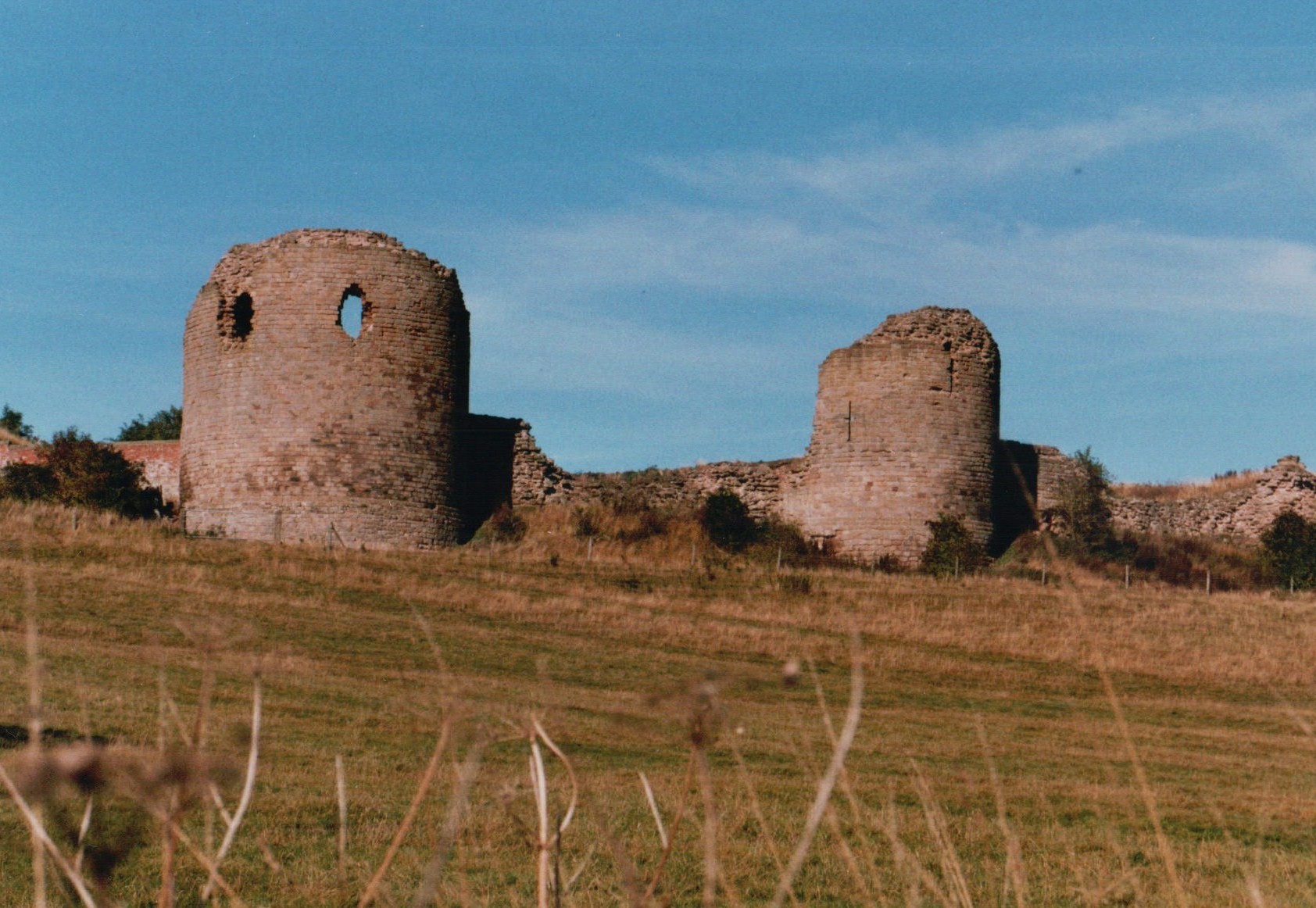
Chartley Castle

Chartley Castle lies in ruins to the north of the village of Stowe-by-Chartley in Staffordshire, between Stafford and Uttoxeter (grid reference SK010285...

Grindley railway station

Grindley railway station was a former British railway station to serve the village of Grindley in Staffordshire. It was opened by the Stafford and Uttoxeter...

Chartley railway station

Chartley railway station was a former British railway station to serve the village of Stowe-by-Chartley in Staffordshire. It was opened by the Stafford...

Nearby Amenities

Located within 500m of 52.849091,-1.9651083
Power: tower
Source: Bing
Lat/Long: 52.8461749/-1.9662577
Power: tower
Source: Bing
Lat/Long: 52.8530688/-1.9639778
Power: tower
Source: Bing
Lat/Long: 52.8492786/-1.9652224
The data included in this document is from www.openstreetmap.org. The data is made available under ODbL.

Have you been to Hardings Wood?

Leave your review of Hardings Wood below (or comments, questions and feedback).