Banks Wood
Wood, Forest in Derbyshire High Peak
England
Banks Wood

Banks Wood is a picturesque woodland situated in Derbyshire, England. Covering an area of approximately 20 hectares, the wood is known for its diverse range of flora and fauna, making it a popular destination for nature enthusiasts and hikers alike.
The wood is primarily composed of broadleaf trees, including oak, beech, and birch, which create a dense canopy providing shade and shelter for the woodland floor. The forest floor is adorned with a carpet of wildflowers during the spring and summer months, adding to the wood's charm and natural beauty.
Banks Wood is home to a variety of wildlife species, such as deer, badgers, foxes, and a wide range of bird species. Birdwatchers often visit the wood to spot elusive species like the tawny owl, woodpeckers, and nuthatches.
The wood offers a network of well-maintained footpaths and trails, allowing visitors to explore and immerse themselves in nature. These paths lead visitors through the heart of the wood, offering breathtaking views of towering trees and babbling brooks. Along the way, benches are strategically placed, providing the perfect spot for a peaceful rest or to observe the woodland's inhabitants.
Banks Wood is managed and maintained by the local authorities, ensuring its preservation for future generations. The wood is open to the public throughout the year, with no entrance fees. Facilities such as parking, picnic areas, and toilets are available nearby, making it an ideal destination for a day trip with family and friends.
Overall, Banks Wood is a hidden gem in Derbyshire, offering a tranquil escape from the hustle and bustle of everyday life and providing a haven for both nature lovers and those seeking a peaceful retreat in the heart of nature.
If you have any feedback on the listing, please let us know in the comments section below.
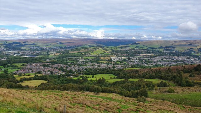
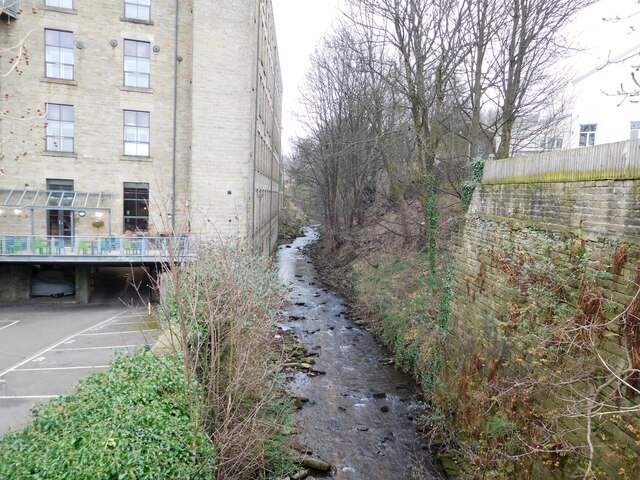
Banks Wood Images
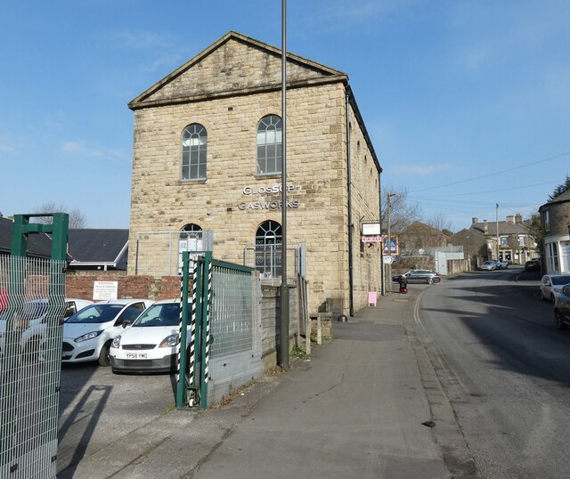
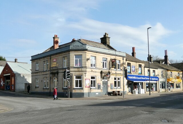
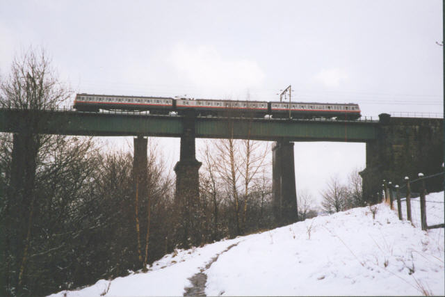
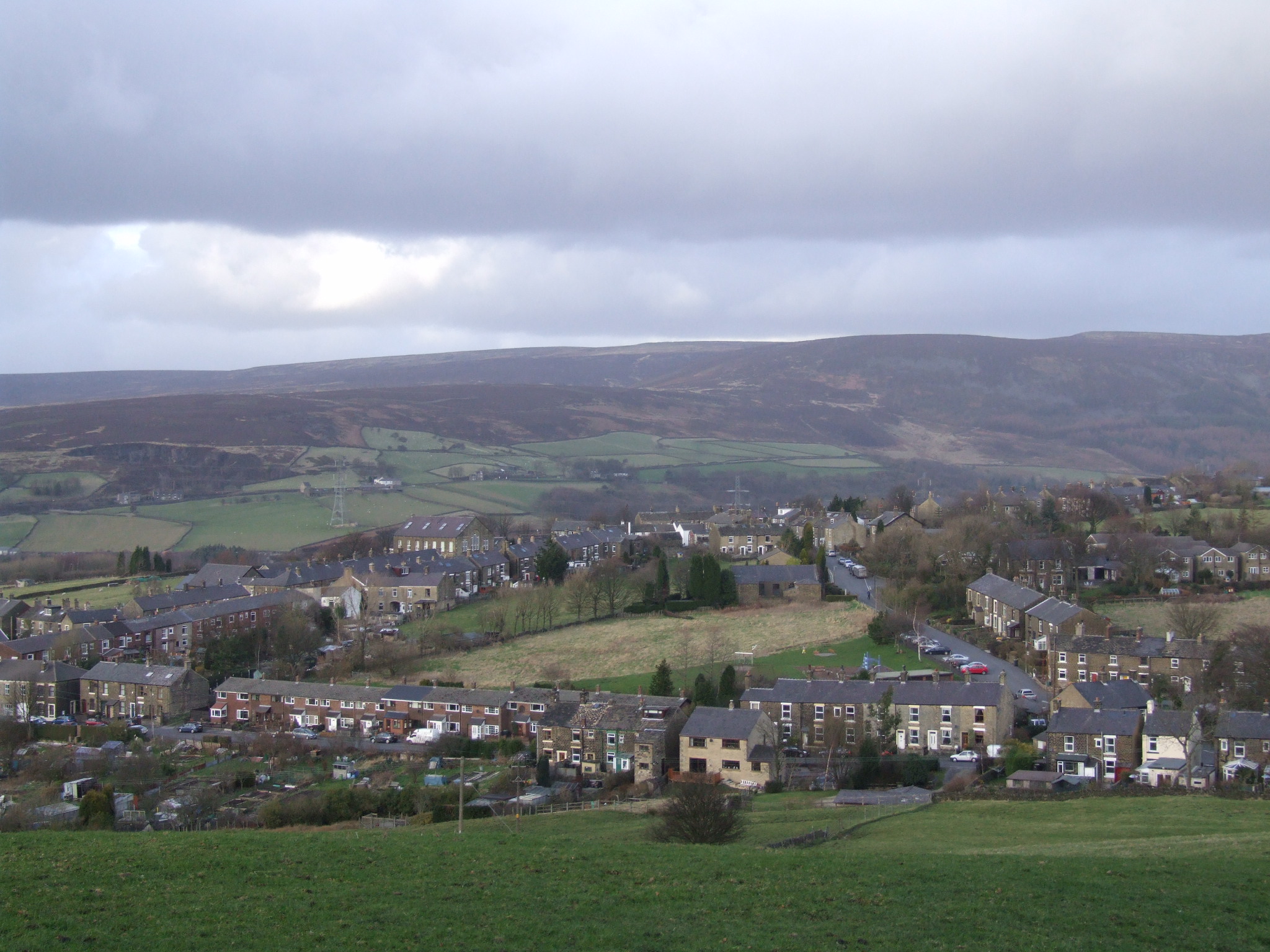
Images are sourced within 2km of 53.457076/-1.9655041 or Grid Reference SK0295. Thanks to Geograph Open Source API. All images are credited.


Banks Wood is located at Grid Ref: SK0295 (Lat: 53.457076, Lng: -1.9655041)
Administrative County: Derbyshire
District: High Peak
Police Authority: Derbyshire
What 3 Words
///backfired.landings.sweated. Near Hollingworth, Manchester
Nearby Locations
Related Wikis

Glossopdale School
Glossopdale School is a mixed secondary school and sixth form located in Hadfield, Derbyshire, England. == History == The school used to be the Glossop...
Glossop Castle
Glossop Castle (also known as Mouselow Castle) is a Norman earthwork north of Glossop, off Hilltop Road, 14 miles (23 km) east of Manchester, on the A57...

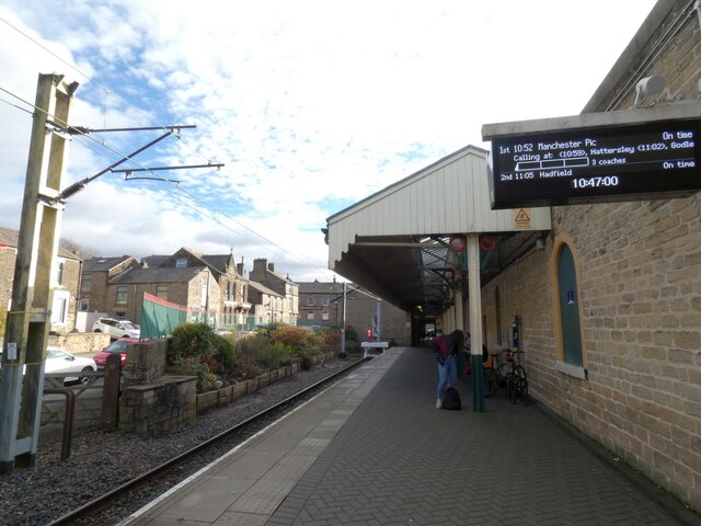
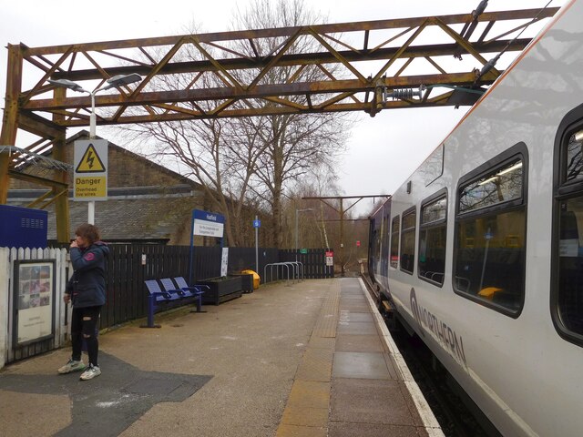
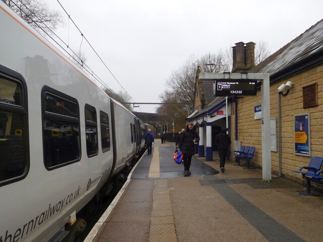
Hadfield railway station
Hadfield railway station serves the Peak District town of Hadfield in Derbyshire, England. The station is one of the twin termini at the Derbyshire end...

Hadfield, Derbyshire
Hadfield is a town in the High Peak of Derbyshire, England, with a population at the 2021 Census of 6,763. It lies on the south side of the River Etherow...
Dinting
Dinting is a village in the High Peak district of Derbyshire, England. It is situated near the towns of Glossop and Hadfield. There is a small primary...
Padfield
Padfield is a small village near Hadfield in High Peak, Derbyshire, England. The village is on the west side of the Peak District National Park, and the...
Higher Dinting
Higher Dinting is a village in Glossopdale, Derbyshire, England. The village is near Glossop, Dinting, and Dinting Vale; the village falls within the Simmondley...

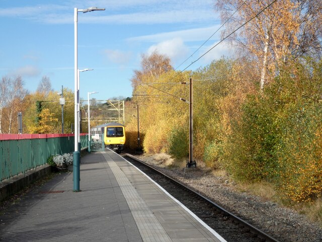
Dinting railway station
Dinting railway station serves the village of Dinting in Derbyshire, England. The station is on the Glossop Line and prior to the Woodhead Line's closure...
Nearby Amenities
Located within 500m of 53.457076,-1.9655041Have you been to Banks Wood?
Leave your review of Banks Wood below (or comments, questions and feedback).