Chartley Moss
Wood, Forest in Staffordshire Stafford
England
Chartley Moss
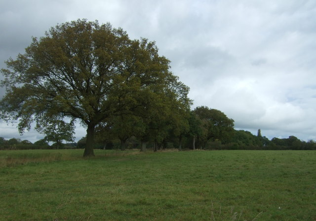
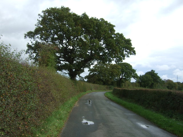
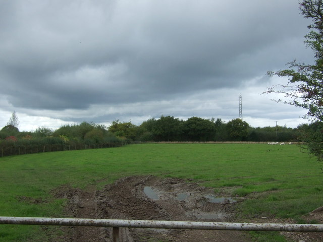
Chartley Moss is a unique and biodiverse woodland located in Staffordshire, England. This ancient forest covers an area of approximately 100 acres and is known for its diverse ecosystem and rich wildlife. The moss is situated on a low-lying plateau, which creates ideal conditions for the growth of a variety of plant species.
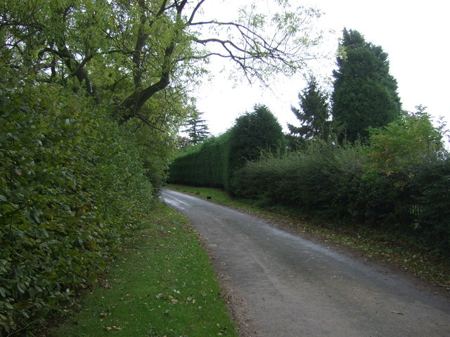
The woodland is predominantly made up of birch and oak trees, which provide a dense canopy and create a shaded and cool environment. This natural habitat supports a wide range of flora and fauna, including numerous species of wildflowers, ferns, and mosses. Additionally, Chartley Moss is home to several rare and protected species of plants, such as the sundew and the lesser twayblade orchid.
The forest also serves as an important nesting and breeding ground for many bird species, including woodpeckers, owls, and various songbirds. The diverse range of habitats within Chartley Moss attracts a variety of mammals, such as deer, foxes, badgers, and bats. These animals benefit from the abundance of food sources and the shelter provided by the dense foliage.
In recent years, efforts have been made to protect and preserve Chartley Moss due to its ecological significance. The woodland is now designated as a Site of Special Scientific Interest (SSSI) and is managed by local conservation organizations in collaboration with the Forestry Commission. These measures aim to maintain the natural balance and ensure the long-term survival of the unique woodland ecosystem.
If you have any feedback on the listing, please let us know in the comments section below.
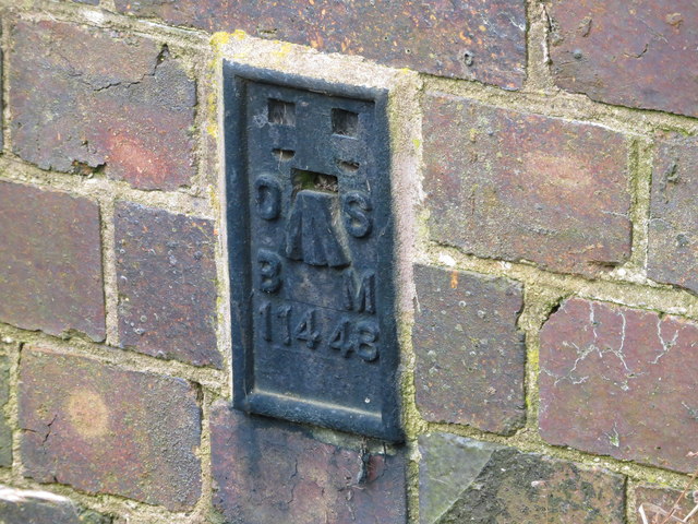
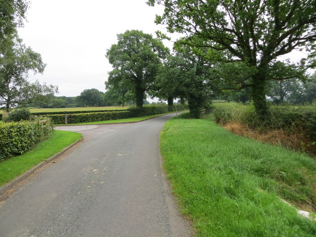
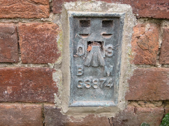
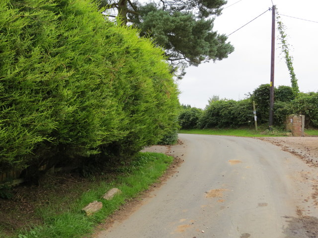
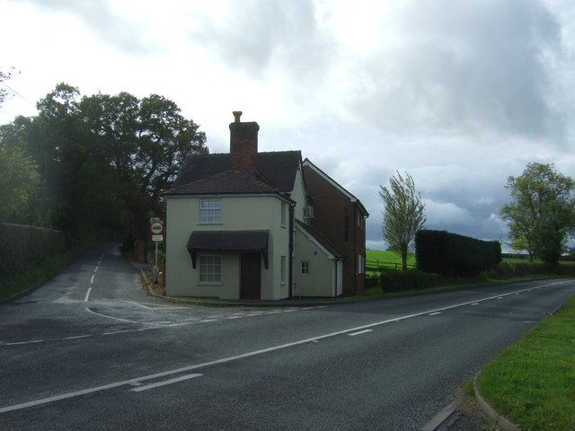
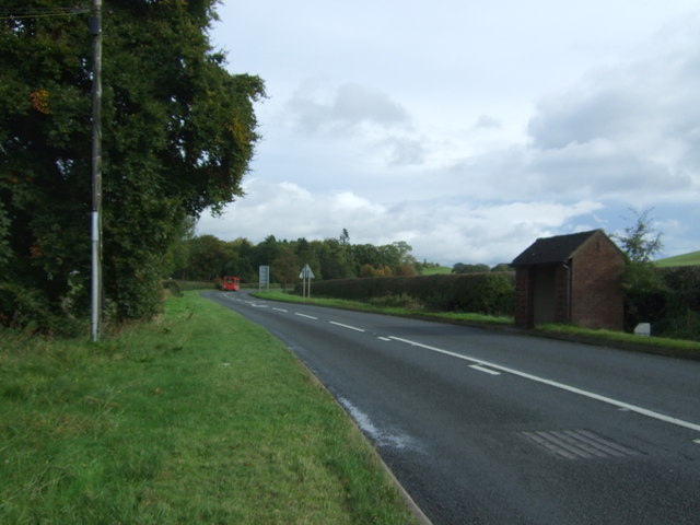
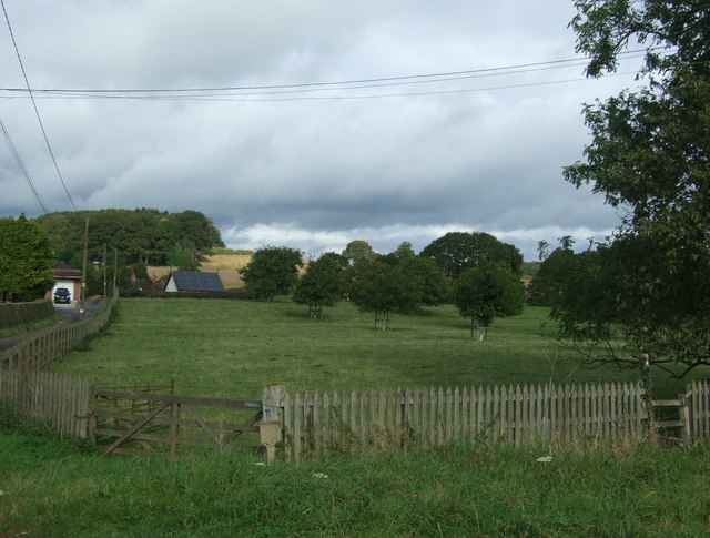
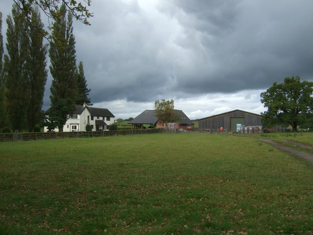
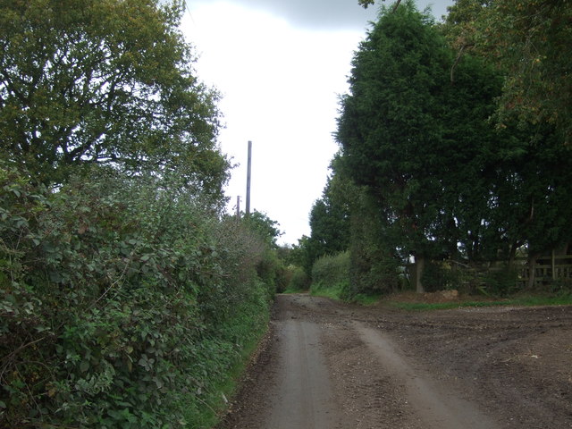
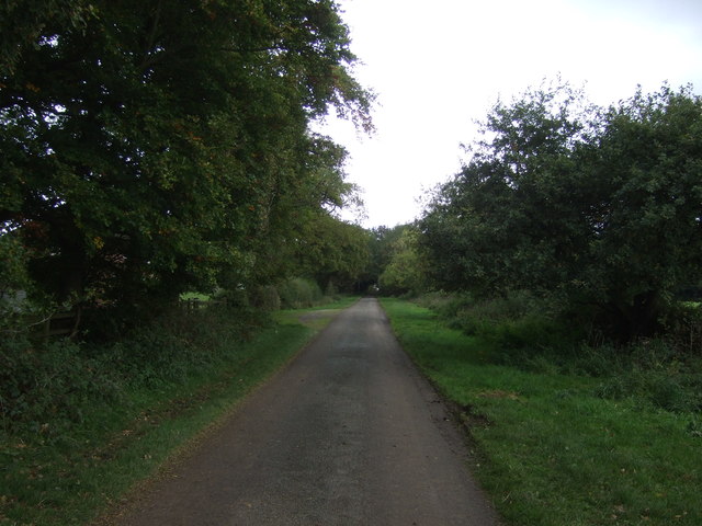
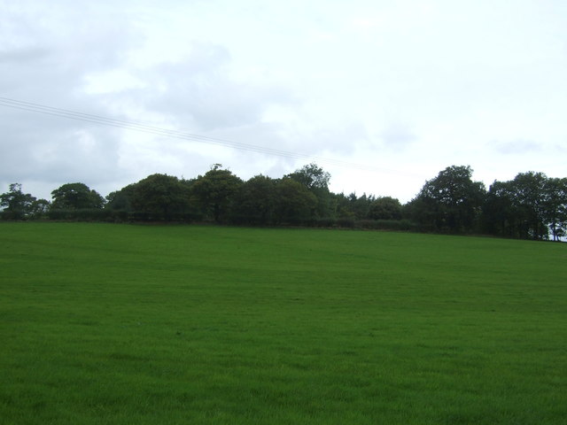
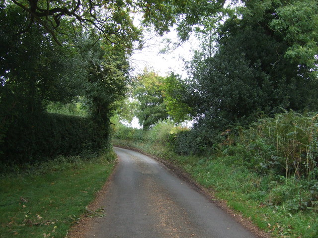
Chartley Moss Images
Images are sourced within 2km of 52.851069/-1.9660125 or Grid Reference SK0228. Thanks to Geograph Open Source API. All images are credited.


Chartley Moss is located at Grid Ref: SK0228 (Lat: 52.851069, Lng: -1.9660125)
Administrative County: Staffordshire
District: Stafford
Police Authority: Staffordshire
What 3 Words
///cars.compress.booth. Near Great Haywood, Staffordshire
Nearby Locations
Related Wikis

Chartley Moss
Chartley Moss is a 105.80 hectare biological Site of Special Scientific Interest in Staffordshire, notified in 1987. The area has been designated as an...
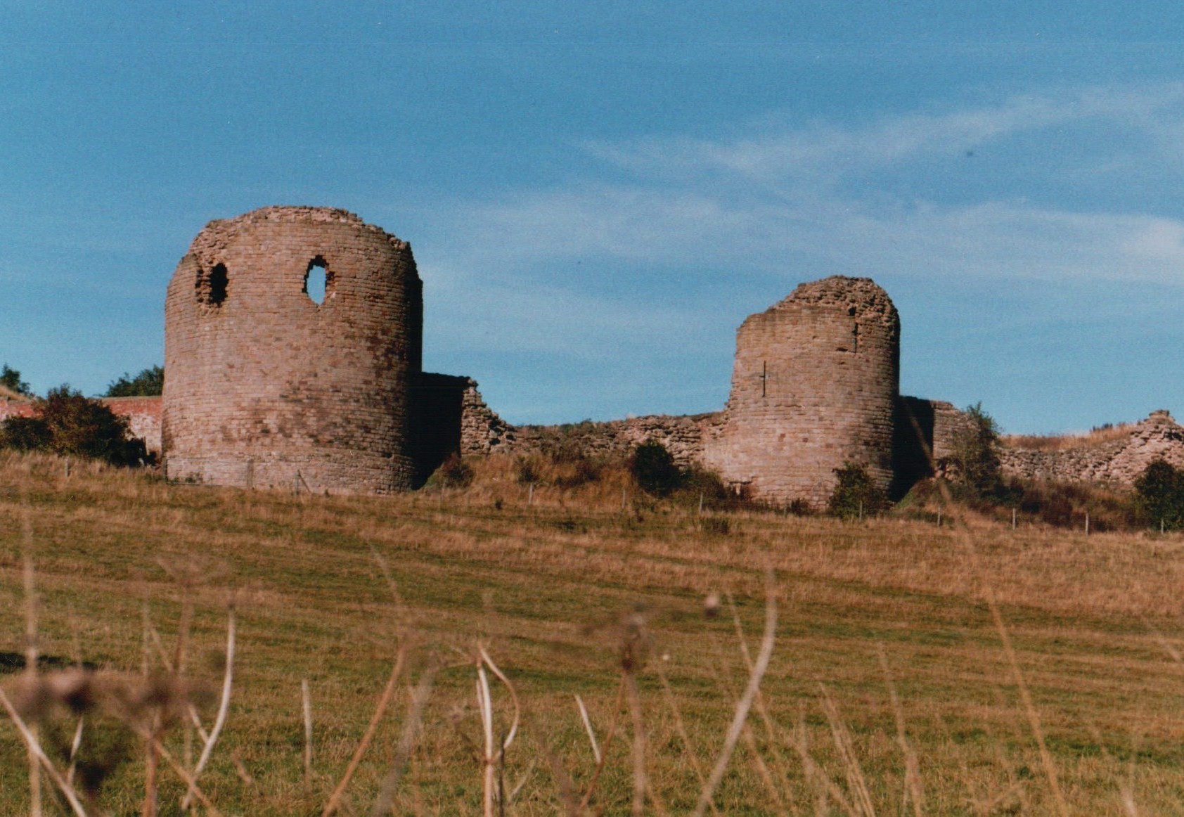
Chartley Castle
Chartley Castle lies in ruins to the north of the village of Stowe-by-Chartley in Staffordshire, between Stafford and Uttoxeter (grid reference SK010285...

Grindley railway station
Grindley railway station was a former British railway station to serve the village of Grindley in Staffordshire. It was opened by the Stafford and Uttoxeter...

Chartley railway station
Chartley railway station was a former British railway station to serve the village of Stowe-by-Chartley in Staffordshire. It was opened by the Stafford...
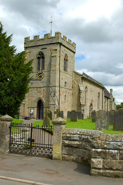
Stowe-by-Chartley
Stowe-by-Chartley is a village and civil parish in the Borough of Stafford, Staffordshire, England. According to the parish council, the parish includes...
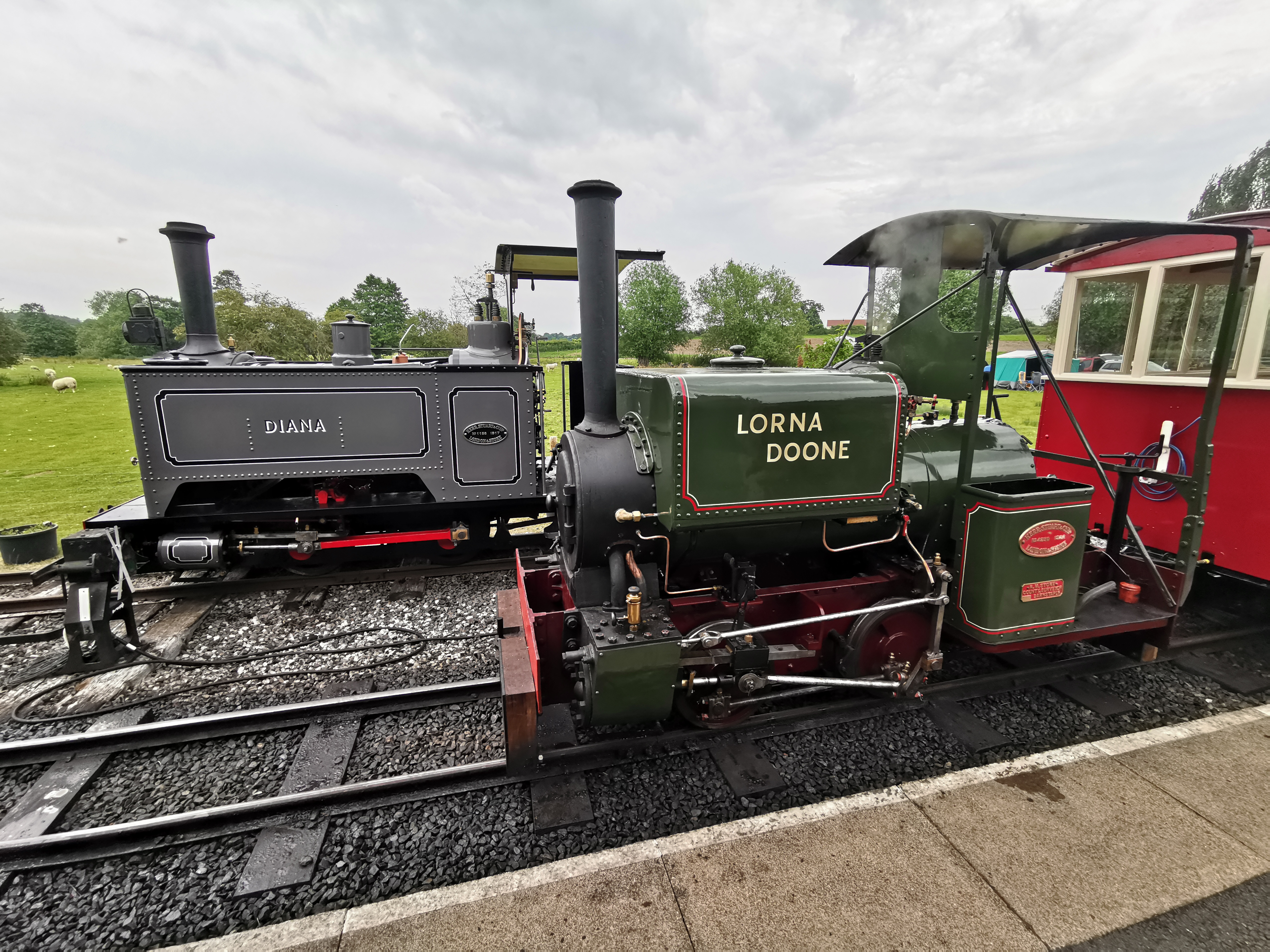
Amerton Railway
The Amerton Railway is a 2 ft (610 mm) narrow gauge heritage railway in the English county of Staffordshire. It is owned by Staffordshire Narrow Gauge...

Amerton
Amerton is a small village in the Borough of Stafford, Staffordshire, England, situated on the A518 road between Stafford and Uttoxeter. The population...

RAF Hixon
Royal Air Force Hixon, or more simply RAF Hixon, was a Royal Air Force station located on the north western edge of the village of Hixon in Staffordshire...
Nearby Amenities
Located within 500m of 52.851069,-1.9660125Have you been to Chartley Moss?
Leave your review of Chartley Moss below (or comments, questions and feedback).