Massey's Wood
Wood, Forest in Staffordshire Staffordshire Moorlands
England
Massey's Wood
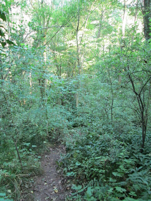
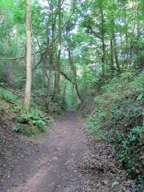
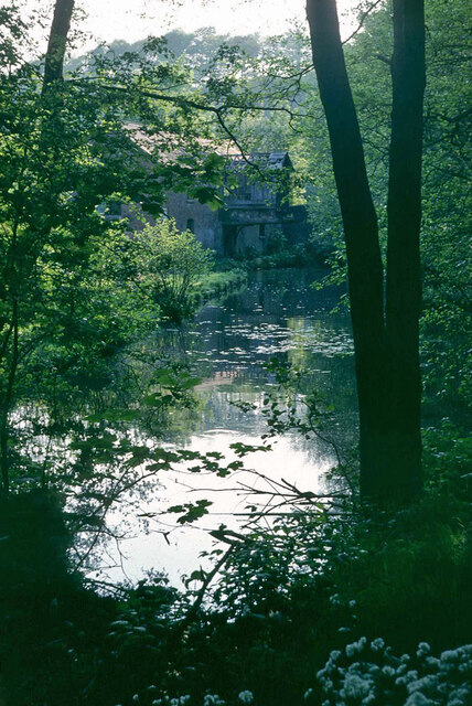
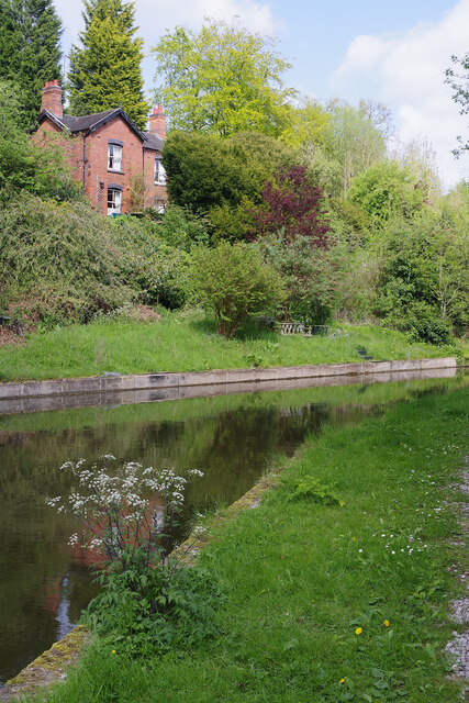
Massey's Wood, located in Staffordshire, is a picturesque forest area known for its natural beauty and tranquil atmosphere. Covering a vast expanse of land, this woodland is a popular destination for nature enthusiasts and outdoor adventurers.
The wood is named after the Massey family, who were the original owners of the land. It is nestled within the heart of Staffordshire and is characterized by its dense vegetation, towering trees, and diverse wildlife. The wood is home to a variety of tree species, including oak, birch, and beech, which create a dense canopy overhead, providing shade and shelter for the many animals that inhabit the area.
The woodland offers an array of walking trails and cycling paths, allowing visitors to explore its natural wonders at their own pace. These trails wind through the forest, providing glimpses of the vibrant flora and fauna that call Massey's Wood their home. Birdwatchers, in particular, will be delighted by the numerous species of birds that can be spotted here, including woodpeckers, owls, and various songbirds.
In addition to its natural beauty, Massey's Wood also holds historical significance. The area has been inhabited for centuries, and remnants of ancient settlements and structures can still be found scattered throughout the forest. These historical artifacts add an extra layer of intrigue and fascination to the wood, making it an exciting destination for history buffs and archaeology enthusiasts.
Overall, Massey's Wood in Staffordshire offers a tranquil and captivating experience for those seeking a connection with nature and a glimpse into the region's rich history.
If you have any feedback on the listing, please let us know in the comments section below.
Massey's Wood Images
Images are sourced within 2km of 53.03738/-1.9658971 or Grid Reference SK0248. Thanks to Geograph Open Source API. All images are credited.
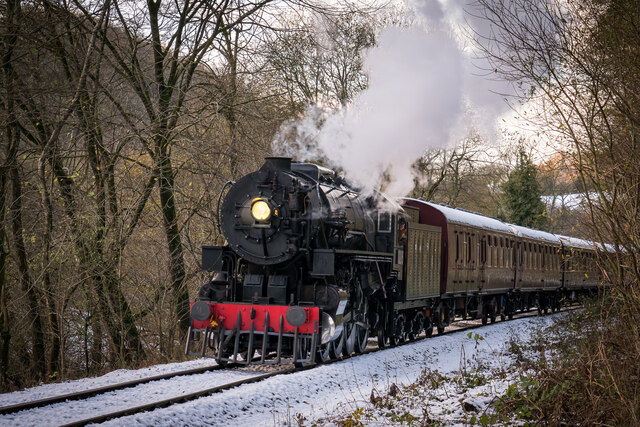
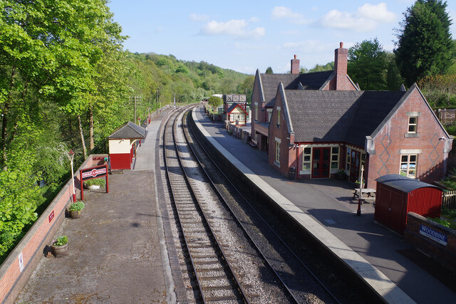
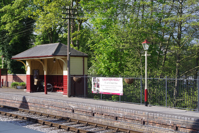
![Kingsley & Froghall trains A preserved railway line near Leek in Staffordshire, running from Froghall up the valley to Cheddleton with one intermediate stop at Consall, and (since 2011) on an extension to a former quarry at Cauldon Low, where as of 2012 there is no station. The society has plans to connect to the national network at Stoke-on-Trent.
The lines were originally constructed by the North Staffordshire Railway (the "Knotty"). According to one writer, "the buildings on the Churnet Valley line are of local stone, straightforwardly neo-Tudor, and effective" [Lloyd & Insall, "Railway Station Architecture", David & Charles 1978, p.17].](https://s2.geograph.org.uk/geophotos/07/44/01/7440182_15a74cf9.jpg)

Massey's Wood is located at Grid Ref: SK0248 (Lat: 53.03738, Lng: -1.9658971)
Administrative County: Staffordshire
District: Staffordshire Moorlands
Police Authority: Staffordshire
What 3 Words
///earmarked.drew.goodbyes. Near Cheddleton, Staffordshire
Nearby Locations
Related Wikis

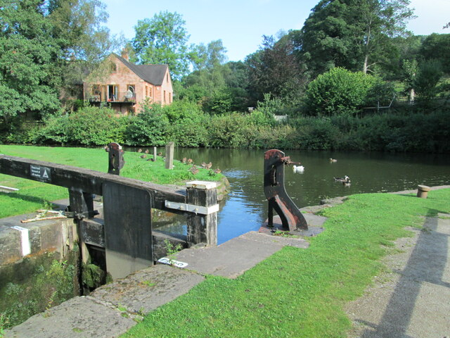
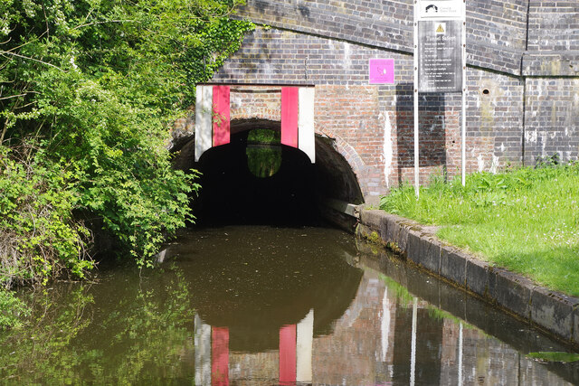
Uttoxeter Canal
The Uttoxeter Canal was a thirteen-mile extension of the Caldon Canal running from Froghall as far as Uttoxeter in Staffordshire, England. It was authorised...

Harston Wood
Harston Wood is a nature reserve of the Staffordshire Wildlife Trust. It is an ancient woodland, adjacent to the village of Froghall, near Cheadle, Staffordshire...

Ipstones
Ipstones is a village and civil parish in the north of the English county of Staffordshire. Ipstones is part of the Staffordshire Moorlands district; within...

Above Church
Above Church is a hamlet about 0.6 kilometers (0.4 mi) northwest of Ipstones in the English county of Staffordshire. It is located at grid reference SK016504...

Froghall
Froghall is a village situated approximately ten miles to the east of Stoke-on-Trent and two miles north of Cheadle in Staffordshire, England. Population...
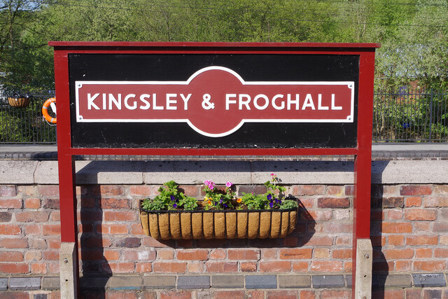
Kingsley and Froghall railway station
Kingsley and Froghall is a former railway station of the North Staffordshire Railway (NSR) that is now preserved on the Churnet Valley Railway in Staffordshire...
Whiston, Staffordshire Moorlands
Whiston is a village in the Staffordshire Moorlands district of Staffordshire, England. Population details as taken at the 2011 census can be found under...

Consall railway station
Consall railway station is a former passenger railway station of the North Staffordshire Railway (NSR) and is now a preserved station on the Churnet Valley...
Nearby Amenities
Located within 500m of 53.03738,-1.9658971Have you been to Massey's Wood?
Leave your review of Massey's Wood below (or comments, questions and feedback).