Comet Plantation
Wood, Forest in Yorkshire Richmondshire
England
Comet Plantation
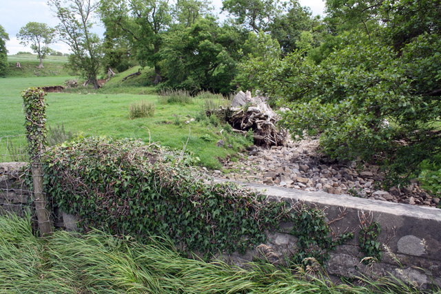
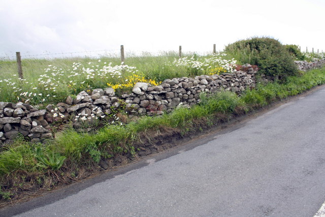
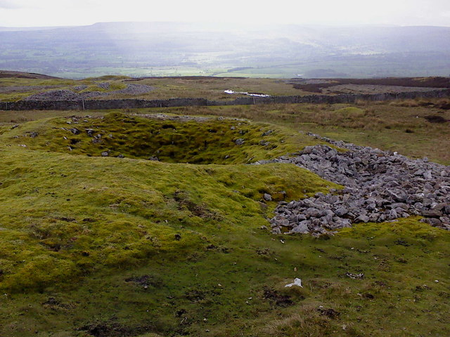
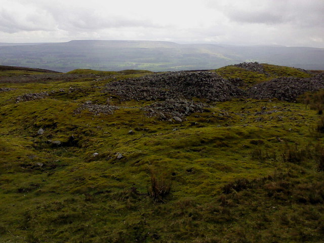
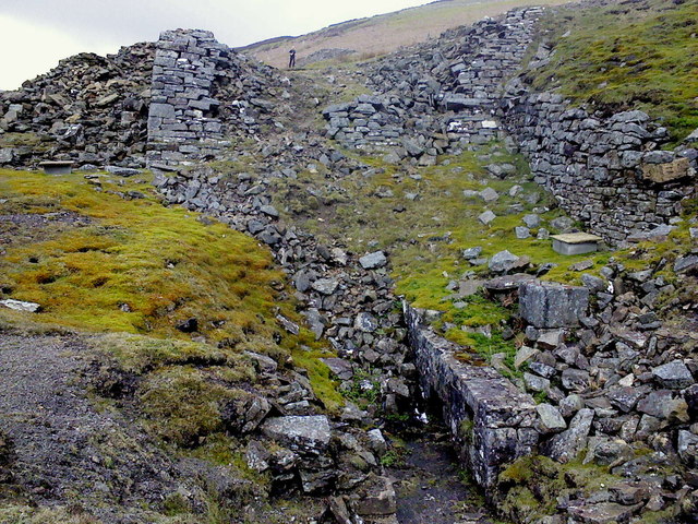
Comet Plantation, located in Yorkshire, England, is a picturesque woodland area known for its natural beauty and diverse flora and fauna. Spanning over a vast area, the plantation is a popular destination for nature enthusiasts, hikers, and those seeking a peaceful retreat.
The woodland is predominantly composed of mixed deciduous and coniferous trees, creating a harmonious blend of colors throughout the year. Towering oak, beech, and pine trees provide a majestic canopy, casting dappled sunlight on the forest floor. These ancient trees, some of which are several hundred years old, create a sense of history and wonder within the woodland.
The terrain is undulating, with gentle slopes and valleys, making it an ideal location for leisurely walks and exploration. A network of well-maintained trails weaves through the woodland, allowing visitors to immerse themselves in the serenity of nature.
Wildlife thrives in Comet Plantation, with an abundance of bird species, including woodpeckers, owls, and songbirds, filling the air with their melodious calls. Squirrels can be spotted bounding from tree to tree, while rabbits and deer occasionally make appearances, adding to the enchantment of the woodland.
Comet Plantation is also known for its vibrant display of wildflowers, particularly during the spring and summer months. Bluebells, primroses, and foxgloves carpet the forest floor, creating a stunning tapestry of colors.
Overall, Comet Plantation in Yorkshire is a place of natural beauty, offering a tranquil escape from the bustling city life. Its diverse ecosystem and enchanting scenery make it a must-visit destination for nature enthusiasts and those seeking solace in the arms of the woodland.
If you have any feedback on the listing, please let us know in the comments section below.
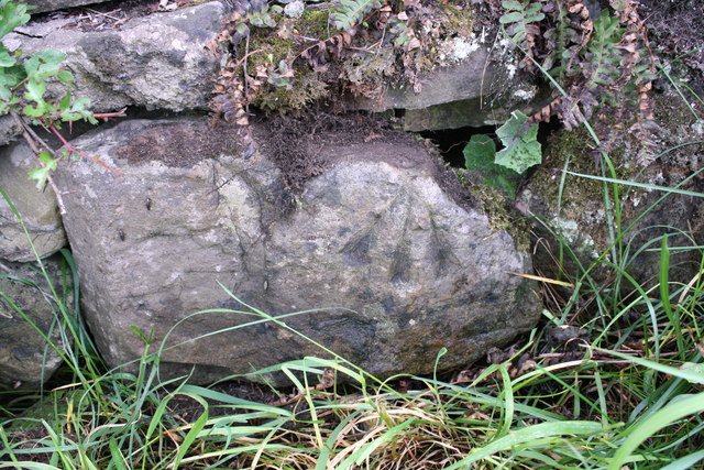
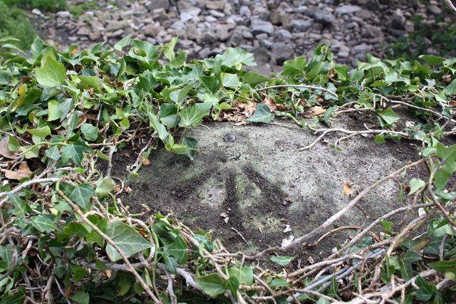
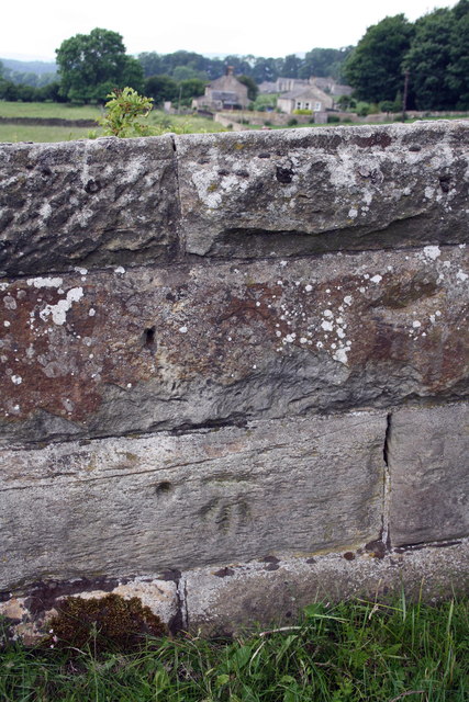
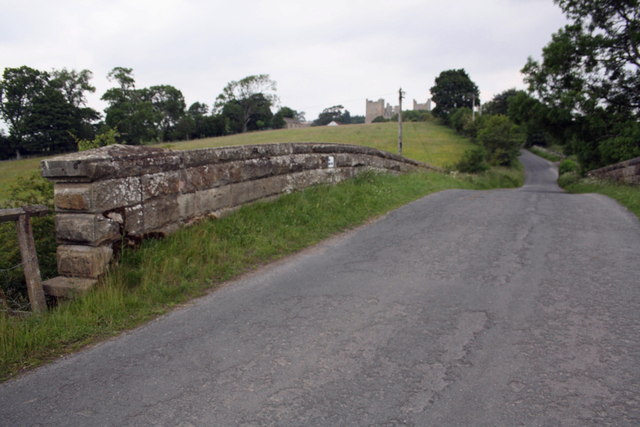
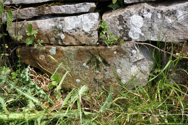
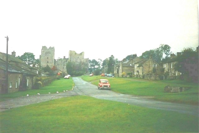
Comet Plantation Images
Images are sourced within 2km of 54.329136/-1.9659218 or Grid Reference SE0292. Thanks to Geograph Open Source API. All images are credited.


Comet Plantation is located at Grid Ref: SE0292 (Lat: 54.329136, Lng: -1.9659218)
Division: North Riding
Administrative County: North Yorkshire
District: Richmondshire
Police Authority: North Yorkshire
What 3 Words
///diagram.dialects.aboard. Near Leyburn, North Yorkshire
Nearby Locations
Related Wikis

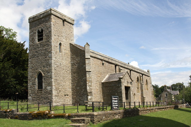
St Oswald's Church, Castle Bolton
St Oswald's Church, Castle Bolton is a Grade II* listed parish church in the Church of England: 106 located in Castle Bolton, North Yorkshire. == History... ==

Castle Bolton
Castle Bolton is a village in North Yorkshire, England. It is in Wensleydale, one of the Yorkshire Dales. The village takes its name from Bolton Castle...

Bolton Castle
Bolton Castle is a 14th-century castle located in Wensleydale, Yorkshire, England (grid reference SE03379183). The nearby village of Castle Bolton takes...

Redmire
Redmire is a village and civil parish in North Yorkshire, England. It is about 4 miles (6.4 km) west of Leyburn in Wensleydale in the Yorkshire Dales....
Redmire railway station
Redmire railway station is the current western terminus of the Wensleydale Railway and serves the village of Redmire in North Yorkshire, England. It is...

Richmondshire
Richmondshire was a local government district of North Yorkshire, England, from 1974 to 2023. It covered a large northern area of the Yorkshire Dales including...

Carperby-cum-Thoresby
Carperby-cum-Thoresby is a civil parish in the Richmondshire district of North Yorkshire, England. The parish contains the village of Carperby and the...

St Mary's Church, Redmire
St Mary's Church, Redmire is a Grade II* listed parish church in the Church of England: 289 in Redmire, North Yorkshire. == History == The church dates...
Have you been to Comet Plantation?
Leave your review of Comet Plantation below (or comments, questions and feedback).