Black Edge Plantation
Wood, Forest in Derbyshire High Peak
England
Black Edge Plantation

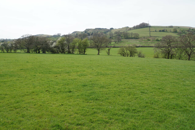
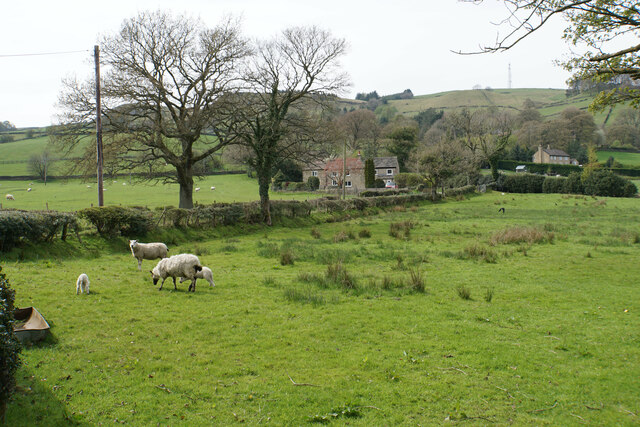
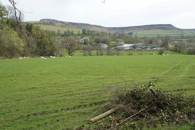
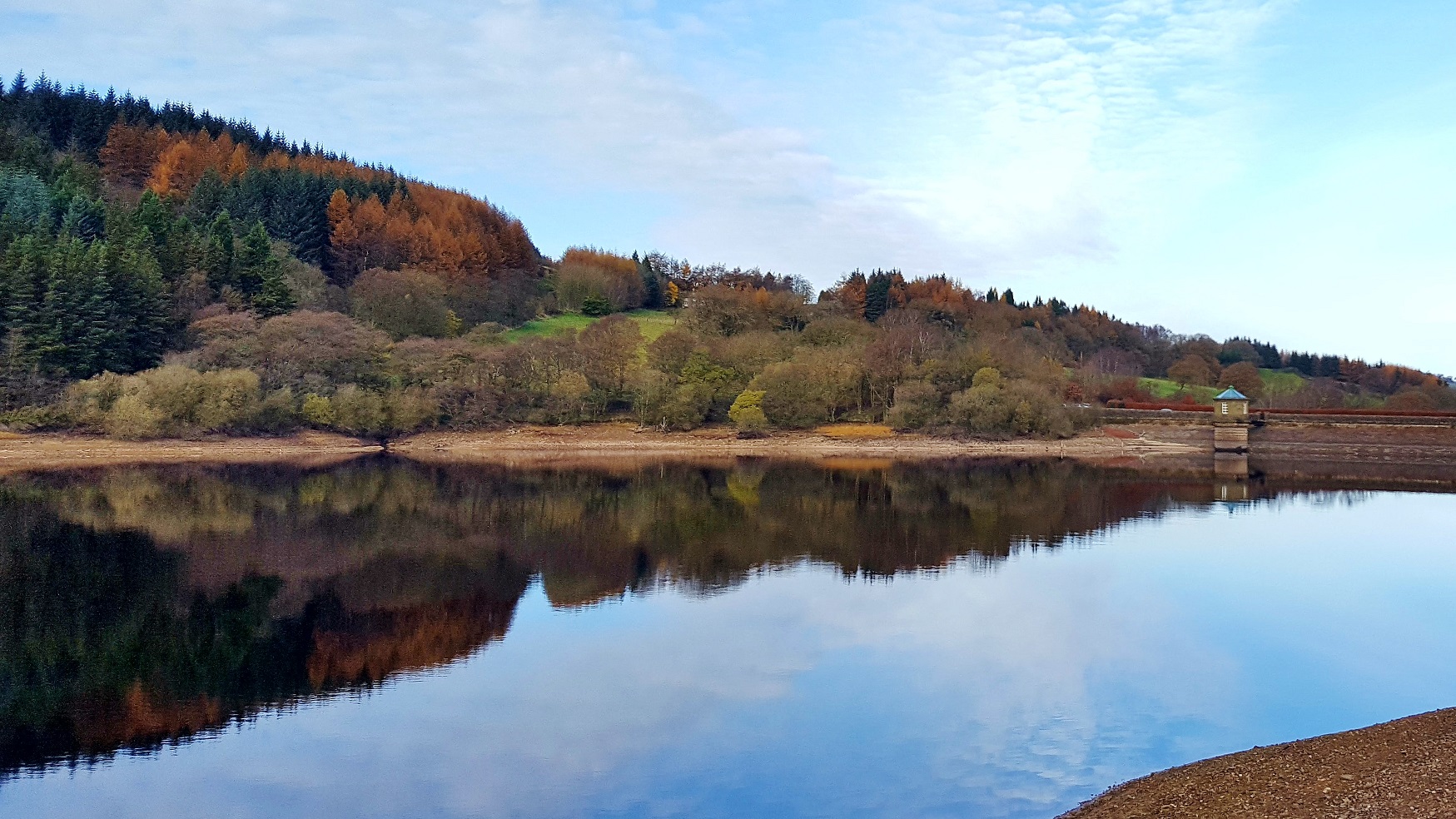
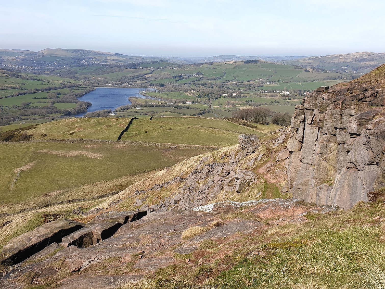
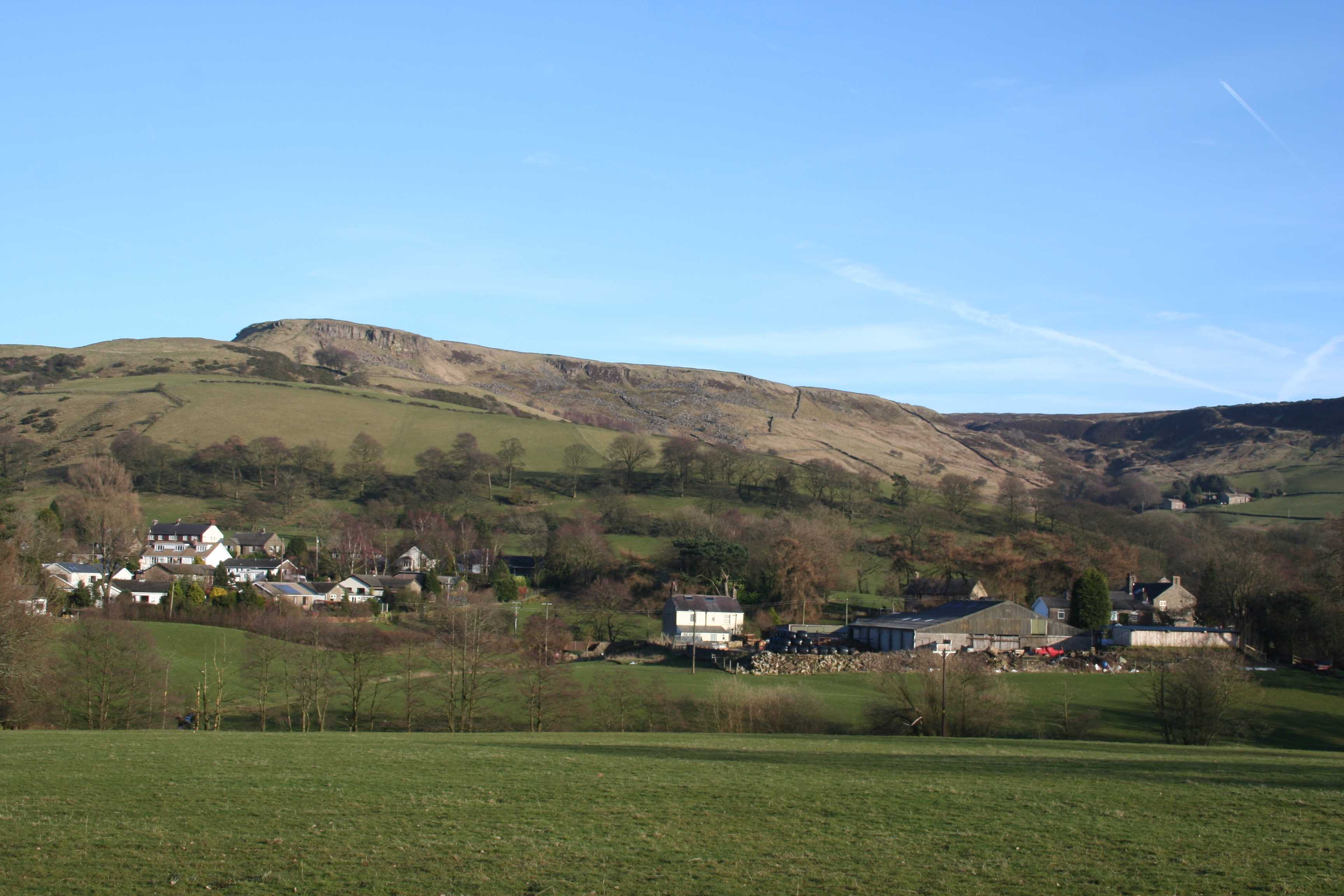
Black Edge Plantation is a picturesque woodland located in Derbyshire, England. Covering an area of approximately 100 hectares, this enchanting forest is nestled within the Peak District National Park. The plantation is known for its dense population of native trees, including oak, birch, and beech, which create a captivating canopy that stretches as far as the eye can see.
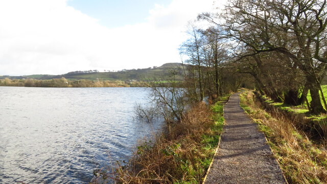
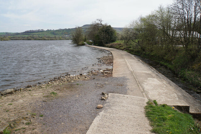
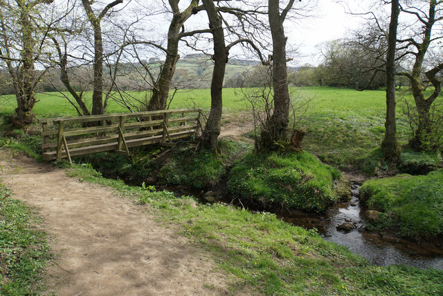
The woodland is crisscrossed by a network of well-maintained footpaths, providing visitors with the opportunity to explore its natural beauty. These trails wind through the plantation, offering breathtaking views of the surrounding countryside and the nearby Kinder Scout plateau. The plantation also features a number of picnic areas and seating spots, allowing visitors to relax and immerse themselves in the peaceful atmosphere of the forest.
Black Edge Plantation is home to a diverse range of wildlife, making it an ideal destination for nature enthusiasts. The woodland provides a habitat for a variety of bird species, including woodpeckers, buzzards, and owls. Additionally, it is not uncommon to spot squirrels, foxes, and deer roaming freely among the trees.
The plantation is open to the public year-round, with no admission fee required. It is advisable to wear appropriate footwear when visiting, as the forest floor can be uneven in places. Whether you are seeking a tranquil stroll, a wildlife spotting adventure, or simply a peaceful spot to enjoy a picnic, Black Edge Plantation offers a delightful escape into nature.
If you have any feedback on the listing, please let us know in the comments section below.
Black Edge Plantation Images
Images are sourced within 2km of 53.306986/-1.9702015 or Grid Reference SK0278. Thanks to Geograph Open Source API. All images are credited.


Black Edge Plantation is located at Grid Ref: SK0278 (Lat: 53.306986, Lng: -1.9702015)
Administrative County: Derbyshire
District: High Peak
Police Authority: Derbyshire
What 3 Words
///marmalade.rotation.nesting. Near Whaley Bridge, Derbyshire
Nearby Locations
Related Wikis

Shallcross, Derbyshire
Shallcross is a small village in northwestern Derbyshire, England. It is located 15 miles (24 km) south of Manchester, at the edge of the Peak District...
Upper Goyt Valley
The Upper Goyt Valley is the southern section of the valley of the River Goyt in North West England. == Position == The source of the Goyt River is on...

Tunstead Milton
Tunstead Milton is a village in Derbyshire, England. It is situated on the B5470 road west of, and in the parish of Chapel-en-le-Frith, near the northern...
Randall Carr
The Randall Carr brook is a river in Derbyshire, England. It starts at Combs and flows to Whaley Bridge where it ends in the river Goyt. Its headwaters...
Combs Reservoir
Combs Reservoir is a canal-feeder reservoir in the Peak District National Park, close to Combs village in Derbyshire. The town of Chapel-en-le-Frith lies...
Combs, Derbyshire
Combs is a small village in Derbyshire, England, in the civil parish of Chapel-en-le-Frith and the Peak District National Park. The village is bounded...

Buxton Road Bridge
Buxton Road Bridge is a railway bridge over the A5004 road in Whaley Bridge, in the High Peak district, in the county of Derbyshire, England. It carries...
Todd Brook
Todd Brook is a small river running through the English counties of Cheshire and Derbyshire. The Brook rises beneath Shining Tor on the border between...
Nearby Amenities
Located within 500m of 53.306986,-1.9702015Have you been to Black Edge Plantation?
Leave your review of Black Edge Plantation below (or comments, questions and feedback).