Boy's Grove
Wood, Forest in Gloucestershire Cotswold
England
Boy's Grove

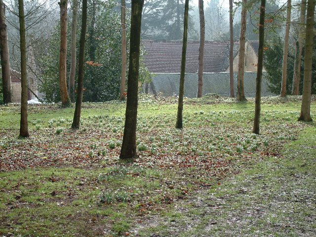
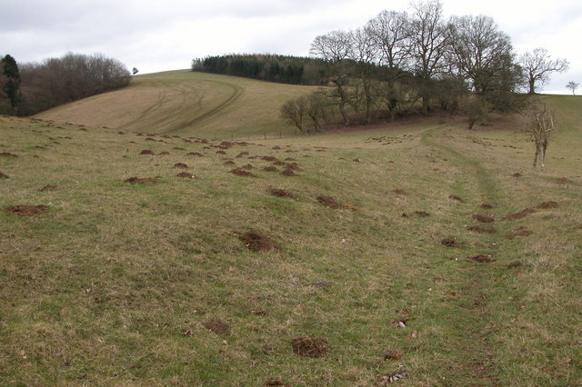
Boy's Grove is a picturesque woodland located in Gloucestershire, England. Covering an area of approximately 50 acres, it is nestled within the idyllic countryside, offering visitors a serene and tranquil environment. The grove is notable for its dense canopy of trees, primarily consisting of oak, beech, and birch, which provide a natural shelter and create a sense of seclusion.
The woodland is home to a variety of wildlife, including deer, squirrels, and a plethora of bird species. Nature enthusiasts can enjoy birdwatching and may spot woodpeckers, owls, and buzzards among the treetops. The forest floor is adorned with an array of wildflowers, adding splashes of color to the green surroundings.
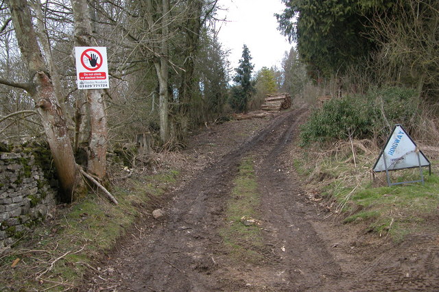
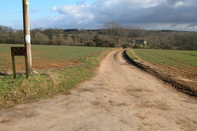
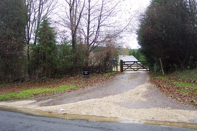
Boy's Grove boasts several well-maintained walking trails, allowing visitors to explore the woodland at their own pace. The paths wind through the trees, offering glimpses of sun-dappled clearings and babbling brooks. The sound of rustling leaves and birdsong creates a peaceful ambiance, ideal for those seeking a break from the hustle and bustle of daily life.
The grove is a popular destination for outdoor activities such as picnicking, nature photography, and family outings. It also serves as an excellent location for educational field trips, giving children the opportunity to learn about the local ecosystem and appreciate the importance of preserving nature.
With its enchanting beauty and abundant wildlife, Boy's Grove is a true gem in the heart of Gloucestershire, providing a haven for nature lovers and a place of solace for all who visit.
If you have any feedback on the listing, please let us know in the comments section below.
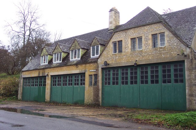
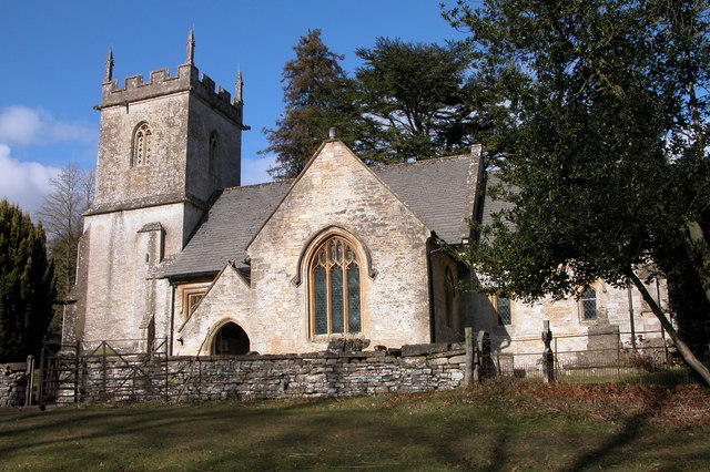
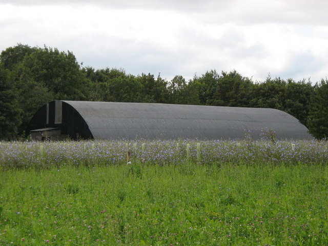
Boy's Grove Images
Images are sourced within 2km of 51.818135/-1.9740428 or Grid Reference SP0113. Thanks to Geograph Open Source API. All images are credited.


Boy's Grove is located at Grid Ref: SP0113 (Lat: 51.818135, Lng: -1.9740428)
Administrative County: Gloucestershire
District: Cotswold
Police Authority: Gloucestershire
What 3 Words
///thrusters.wire.fine. Near Charlton Kings, Gloucestershire
Nearby Locations
Related Wikis
Colesbourne
Colesbourne is a village and civil parish in the Cotswold district of Gloucestershire, England. The village and parish lies within the Cotswolds, a designated...
RAF Chedworth
Royal Air Force Chedworth or more simply RAF Chedworth is a former Royal Air Force satellite station located near Chedworth, Gloucestershire, England....

Withington, Gloucestershire
Withington is a Cotswold village and civil parish in Gloucestershire, England, about 7 miles (11 km) southeast of Cheltenham and 8 miles (13 km) north...

Church of St Michael, Withington
The Anglican Church of St Michael at Withington in the Cotswold District of Gloucestershire, England was built in the 12th century. It is a grade I listed...

Cotswold Hills Geopark
A swathe of the Cotswold Hills almost 60 miles long has been proposed as the Cotswold Hills Geopark. The Geopark project offers educational resources on...

Withington railway station (Gloucestershire)
Withington railway station was on the Midland and South Western Junction Railway serving the village of Withington in Gloucestershire. The station opened...

Chedworth Nature Reserve
Chedworth Nature Reserve (grid reference SP048143) is a 6-hectare (15-acre) nature reserve in Gloucestershire. The site is listed in the 'Cotswold District...
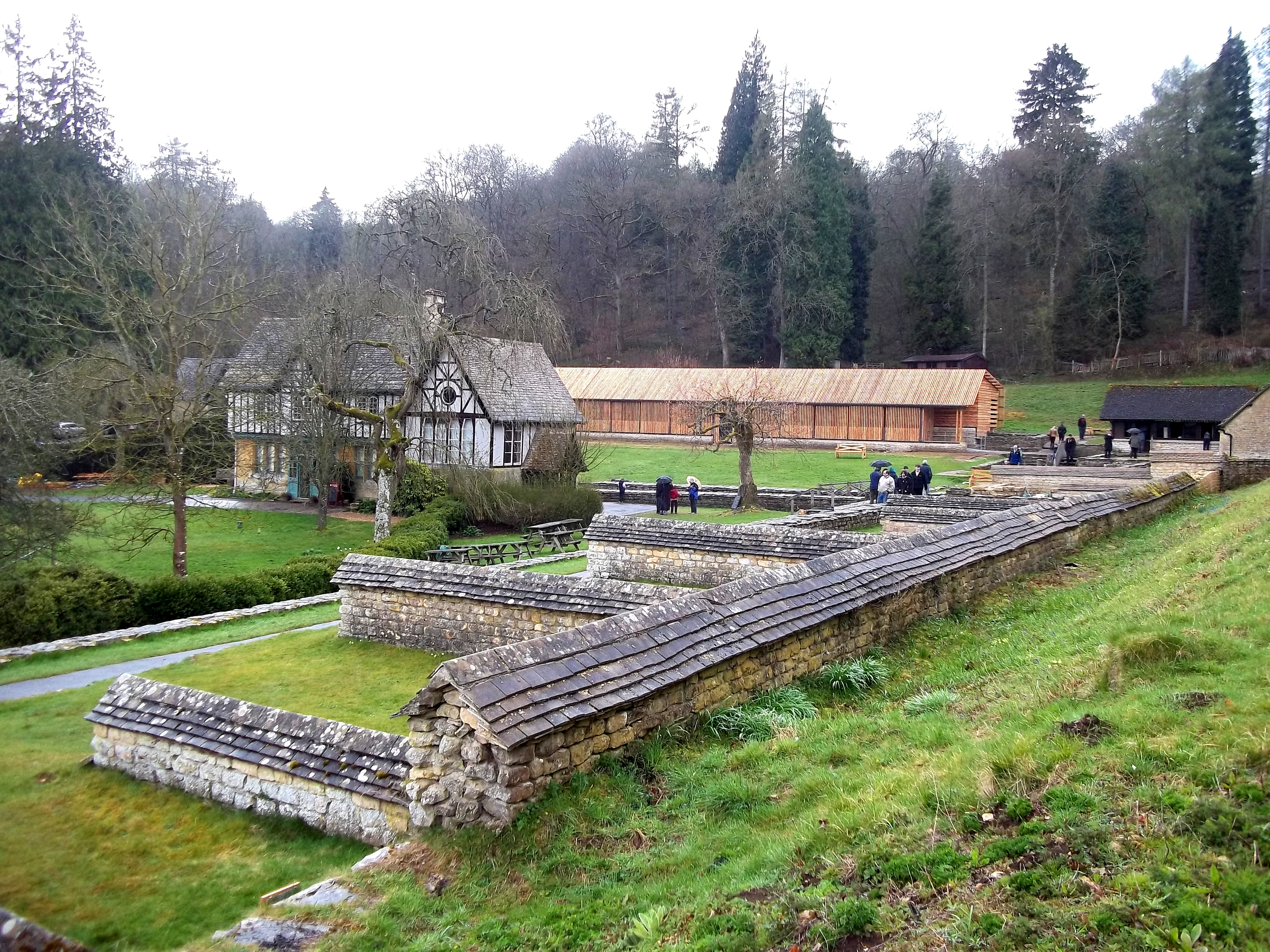
Chedworth Roman Villa
Chedworth Roman Villa is located near Chedworth, Gloucestershire, England and is a scheduled monument. It is one of the largest and most elaborate Roman...
Have you been to Boy's Grove?
Leave your review of Boy's Grove below (or comments, questions and feedback).