Kitchen Coppice
Wood, Forest in Worcestershire Wychavon
England
Kitchen Coppice
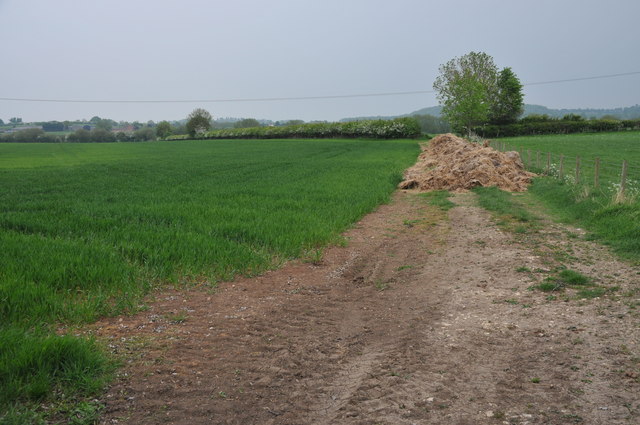
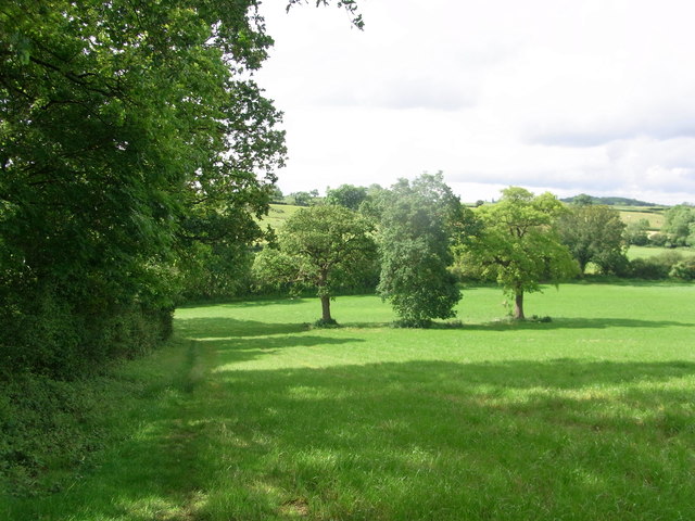
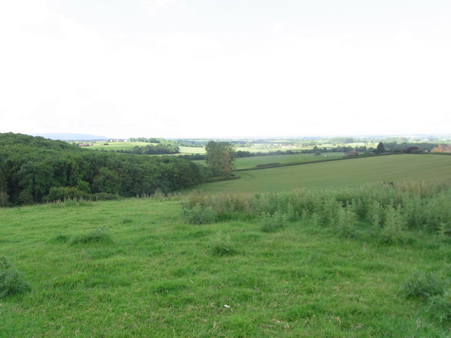
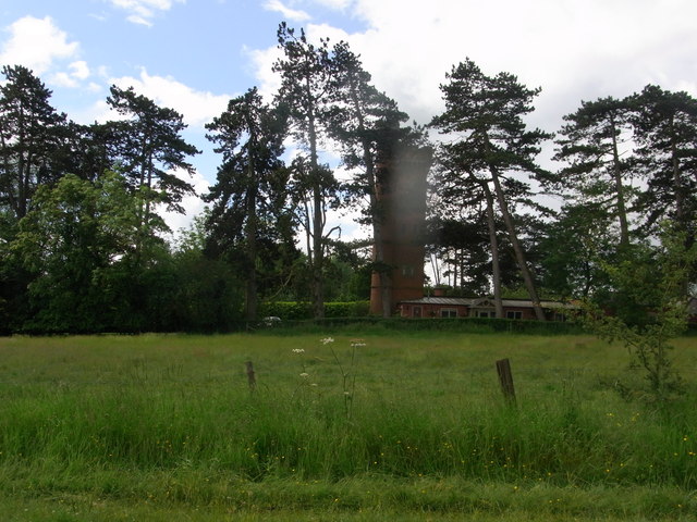
Kitchen Coppice is a picturesque woodland area located in the county of Worcestershire, England. Covering an area of approximately 120 acres, it is known for its dense and diverse collection of trees, making it a popular destination for nature enthusiasts and outdoor lovers.
The woodland consists predominantly of deciduous trees, including oak, ash, beech, and birch, which create a vibrant and ever-changing landscape throughout the seasons. The dense canopy provides shelter to a wide variety of wildlife, making it a haven for birdwatchers and wildlife photographers. Visitors to Kitchen Coppice may have the opportunity to spot species such as woodpeckers, owls, deer, and foxes.
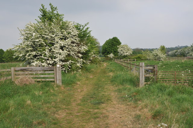
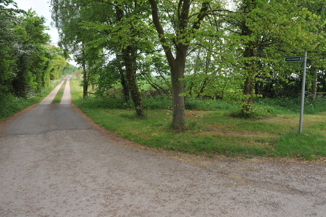
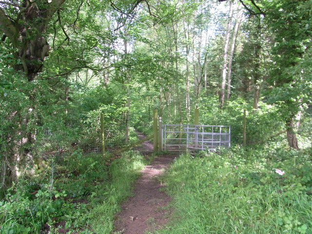
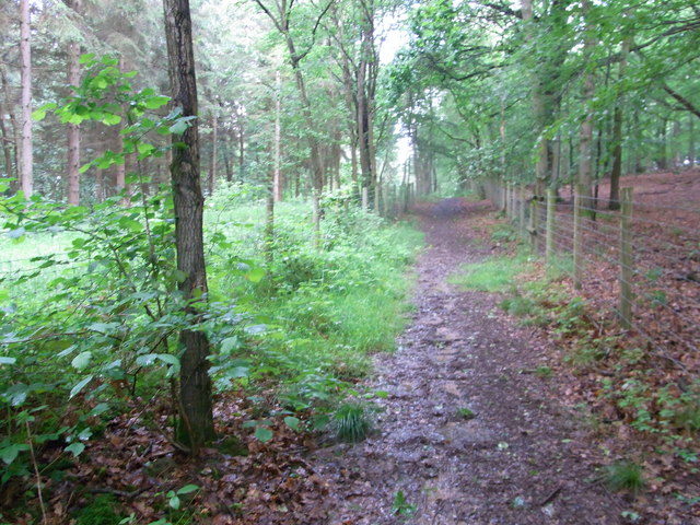
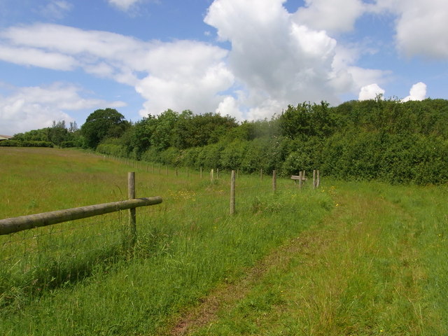
There are several well-maintained walking trails that crisscross the woodland, allowing visitors to explore its natural beauty at their own pace. These trails offer a peaceful and tranquil environment, perfect for those seeking a break from the hustle and bustle of everyday life. Along the way, there are informative signposts providing details about the flora and fauna found within the woodland.
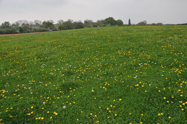
Kitchen Coppice is also home to an array of wildflowers, adding bursts of color to the forest floor in spring and summer. Bluebells, primroses, and foxgloves are just a few examples of the vibrant flowers that carpet the ground during these seasons, creating a breathtaking sight.
Overall, Kitchen Coppice is a hidden gem within Worcestershire, offering visitors a chance to reconnect with nature in a serene and visually stunning environment. Whether exploring the woodland trails or simply enjoying a picnic amidst the trees, it is a place that is sure to leave a lasting impression.
If you have any feedback on the listing, please let us know in the comments section below.
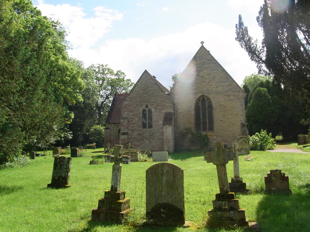
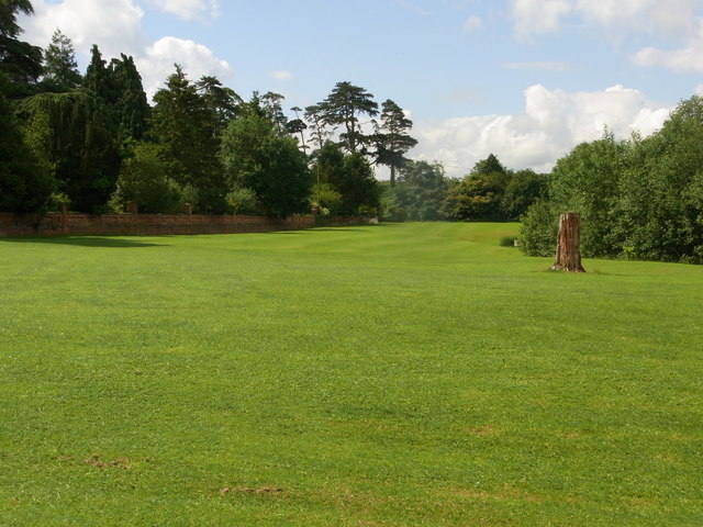
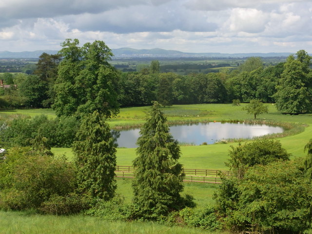
Kitchen Coppice Images
Images are sourced within 2km of 52.182582/-1.9743013 or Grid Reference SP0153. Thanks to Geograph Open Source API. All images are credited.
Kitchen Coppice is located at Grid Ref: SP0153 (Lat: 52.182582, Lng: -1.9743013)
Administrative County: Worcestershire
District: Wychavon
Police Authority: West Mercia
What 3 Words
///florists.commoners.playback. Near Inkberrow, Worcestershire
Nearby Locations
Related Wikis

Goom's Hill
Goom's Hill is a location near Abbots Morton in Worcestershire, England.
Radford, Worcestershire
Radford is a hamlet in the Wychavon district of Worcestershire, England. It is 1 mile SSW of Inkberrow. In 2013, Landscan population maps show there to...

Abbots Morton
Abbots Morton is a village and civil parish in the English county of Worcestershire. It consists of approximately 70 dwellings and 250 people. It retains...

Abberton Hall
Abberton Hall is a small country house in the village of Abberton, Worcestershire, England, near Pershore. == History == It is an irregular two-story...

Abberton, Worcestershire
Abberton is a small village in Worcestershire, England. In 1991, the population was 44, this grew to 67 in 24 households in 2001.The principal house in...

Church Lench
Church Lench is a village and former civil parish, now in the parish of South Lenches, in the Wychavon district, in the county of Worcestershire, England...
Atch Lench
Atch Lench is a village in Worcestershire, England. == External links == Media related to Atch Lench at Wikimedia Commons Atch Lench in the Domesday Book
Inkberrow Castle
Inkberrow Castle was situated in the village of Inkberrow in Worcestershire, some 10 km south of Redditch (grid reference SP017572). It was a castle built...
Nearby Amenities
Located within 500m of 52.182582,-1.9743013Have you been to Kitchen Coppice?
Leave your review of Kitchen Coppice below (or comments, questions and feedback).