Poorhill Coppice

Wood, Forest in Worcestershire Redditch

England

Poorhill Coppice

Trickses Lane, Cruise Hill, Ham Green
Trickses Lane, Cruise Hill, Ham Green Credit: Jeff Gogarty

Poorhill Coppice is a densely wooded area located in Worcestershire, England. Covering an area of approximately 100 acres, it is known for its rich biodiversity and natural beauty. The coppice is situated near the village of Poorhill, hence its name.

The woodland is predominantly composed of native tree species such as oak, ash, birch, and beech. These trees provide a dense canopy, creating a shaded and cool environment beneath. The forest floor is covered in a thick layer of leaf litter, supporting a diverse range of plant species including bluebells, primroses, and wild garlic, which create a stunning display of color in the springtime.

Poorhill Coppice is also home to a variety of wildlife, making it an important habitat for many species. Birdwatchers can spot a wide range of birds including woodpeckers, owls, and various songbirds. The woodland is also inhabited by mammals such as foxes, badgers, and deer, which can often be seen grazing or foraging amongst the trees.

The coppice is a popular destination for nature enthusiasts, offering scenic walking trails that wind through the forest. Visitors can explore the woodland at their leisure, immersing themselves in the tranquil atmosphere and enjoying the sights and sounds of nature. Its secluded location and peaceful surroundings make Poorhill Coppice an ideal retreat for those seeking a break from the hustle and bustle of city life.

If you have any feedback on the listing, please let us know in the comments section below.

Poorhill Coppice Images

Images are sourced within 2km of 52.287563/-1.9762057 or Grid Reference SP0165. Thanks to Geograph Open Source API. All images are credited.

Trickses Lane, Cruise Hill, Ham Green
Timber framed house on Trickses Lane, Ham Green
Cruise Hill House, Ham Green, Worcestershire
Sign for Burial Lane, a dead-end in Ham Green
Cruise Hill Farmhouse, Ham Green, Worcestershire No longer occupied by the farmer.
Cruise Hill Farmhouse, Ham Green, Worcestershire
No longer occupied by the farmer.
Crossroads at Brickhouse Farm, Ham Green The farmhouse and attached cider mill are grade II listed.
Crossroads at Brickhouse Farm, Ham Green
The farmhouse and attached cider mill are grade II listed.
Ham Green Farmhouse, Clayfields, Ham Green
Parmington Close, Callow Hill Village, Redditch
Near the end of Foxholes Lane, Callow Hill Village
Pavilion on Foxholes Lane, Callow Hill Village
Stream in Callow Hill Village
The Bramley Cottage, Callow Hill Lane, Redditch
Windmill Community Centre, Rye Grass Lane, Redditch
A448, Bromsgrove Highway near to Webheath The 4-mile dual carriageway from Slideslow, Bromsgrove (just east of current Slideshow Island) to Birchfield Road, Webheath was opened in 1975. It bypassed the villages of Tardebigge and Finstall (<span class="nowrap"><a title="https://www.sabre-roads.org.uk/wiki/index.php?title=A448" rel="nofollow ugc noopener" href="https://www.sabre-roads.org.uk/wiki/index.php?title=A448">Link</a><img style="margin-left:2px;" alt="External link" title="External link - shift click to open in new window" src="https://s1.geograph.org.uk/img/external.png" width="10" height="10"/></span> Roader's Digest: The SABRE Wiki)
A448, Bromsgrove Highway near to Webheath
The 4-mile dual carriageway from Slideslow, Bromsgrove (just east of current Slideshow Island) to Birchfield Road, Webheath was opened in 1975. It bypassed the villages of Tardebigge and Finstall (LinkExternal link Roader's Digest: The SABRE Wiki)
A448, Bromsgrove Highway, Redditch The 4-mile dual carriageway from Slideslow, Bromsgrove (just east of current Slideshow Island) to Birchfield Road, Webheath was opened in 1975. It bypassed the villages of Tardebigge and Finstall (<span class="nowrap"><a title="https://www.sabre-roads.org.uk/wiki/index.php?title=A448" rel="nofollow ugc noopener" href="https://www.sabre-roads.org.uk/wiki/index.php?title=A448">Link</a><img style="margin-left:2px;" alt="External link" title="External link - shift click to open in new window" src="https://s1.geograph.org.uk/img/external.png" width="10" height="10"/></span> Roader's Digest: The SABRE Wiki)
A448, Bromsgrove Highway, Redditch
The 4-mile dual carriageway from Slideslow, Bromsgrove (just east of current Slideshow Island) to Birchfield Road, Webheath was opened in 1975. It bypassed the villages of Tardebigge and Finstall (LinkExternal link Roader's Digest: The SABRE Wiki)
Footbridge over Bromsgrove Highway at Redditch The 4-mile dual carriageway from Slideslow, Bromsgrove (just east of current Slideshow Island) to Birchfield Road, Webheath was opened in 1975. It bypassed the villages of Tardebigge and Finstall (<span class="nowrap"><a title="https://www.sabre-roads.org.uk/wiki/index.php?title=A448" rel="nofollow ugc noopener" href="https://www.sabre-roads.org.uk/wiki/index.php?title=A448">Link</a><img style="margin-left:2px;" alt="External link" title="External link - shift click to open in new window" src="https://s1.geograph.org.uk/img/external.png" width="10" height="10"/></span> Roader's Digest: The SABRE Wiki)
Footbridge over Bromsgrove Highway at Redditch
The 4-mile dual carriageway from Slideslow, Bromsgrove (just east of current Slideshow Island) to Birchfield Road, Webheath was opened in 1975. It bypassed the villages of Tardebigge and Finstall (LinkExternal link Roader's Digest: The SABRE Wiki)
Morton Stanley Park Along with Redditch Golf Club this huge park takes up most of the grid square. The land was left for use as a Park by the people of Redditch and Webheath by William Morton Stanley (a man successful in the fish hook and needle industry in the town) and amounted to 39 acres and 34 perches lying, at the time, some distance from the town.
Morton Stanley Park
Along with Redditch Golf Club this huge park takes up most of the grid square. The land was left for use as a Park by the people of Redditch and Webheath by William Morton Stanley (a man successful in the fish hook and needle industry in the town) and amounted to 39 acres and 34 perches lying, at the time, some distance from the town.
Old Barn At White House Farm, Love Lyne.
Old Barn
At White House Farm, Love Lyne.
Show me another place!

Poorhill Coppice is located at Grid Ref: SP0165 (Lat: 52.287563, Lng: -1.9762057)

Administrative County: Worcestershire

District: Redditch

Police Authority: West Mercia

What 3 Words

///asking.correctly.countries. Near Redditch, Worcestershire

Related Wikis

Callow Hill, Worcestershire

Callow Hill is an area of Redditch, in Worcestershire, England. Other villages nearby include Astwood Bank, Feckenham, Cookhill, and Webheath. == History... ==
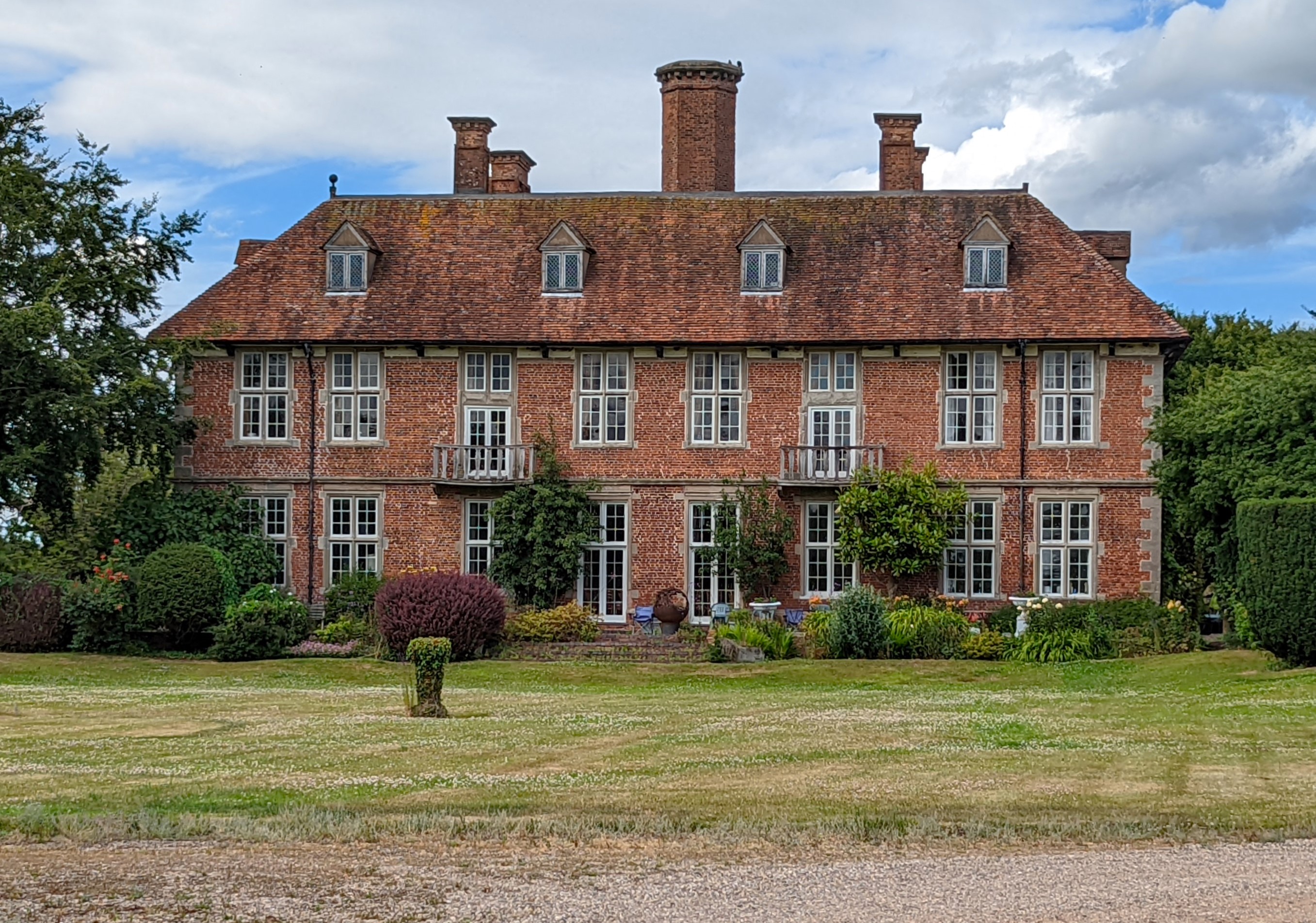
Norgrove Court

Norgrove Court is a stately home near Redditch in North Eastern Worcestershire built in 1649. It is listed Grade I on the National Heritage List for England...

Elcocks Brook

Elcocks Brook (formally Elcock's Brook) is a hamlet in Feckenham parish, southwest of the town of Redditch, in Worcestershire, England. == Politics... ==

Webheath

Webheath is a district of Redditch, in Worcestershire, England. The district neighbours Batchley, Headless Cross and the village of Callow Hill. It is...

Cruise Hill

Cruise Hill is a hamlet outside Redditch, Worcestershire. It lies in between the villages of Feckenham, Callow Hill, Elcocks Brook & Ham Green.

Hunt End

Hunt End is a district of Redditch in Worcestershire, England. Saint Augustine's Catholic High School is in Hunt End, it is the only Catholic high school...

Holmwood, Redditch

Holmwood House in Redditch, Worcestershire, is a country house built for Canon Horace Newton of Glencripesdale Estate and Barrells Hall in 1893 by the...

Upper Bentley

Upper Bentley is a village in Worcestershire, England. It is located between the towns of Redditch and Bromsgrove. It is near the villages of Elcocks Brook...

Nearby Amenities

Located within 500m of 52.287563,-1.9762057
Bus Stop
Redditch- Feckenham Road
Bus: yes
Naptan AtcoCode: 2000G154895
Naptan Bearing: S
Naptan CommonName: Redditch- Feckenham Road
Naptan Indicator: Adj
Naptan Landmark: Green Lanes
Naptan NaptanCode: wocdwgam
Naptan Street: Feckenham Road
Naptan Verified: no
Public Transport: platform
Source: naptan_import
Lat/Long: 52.2865325/-1.9699904
Post Box
Ref: B97 127
Lat/Long: 52.2908684/-1.9774524
Generator Method: photovoltaic
Generator Output Electricity: yes
Generator Source: solar
Generator Type: solar_photovoltaic_panel
Location: roof
Power: generator
Lat/Long: 52.2904702/-1.9775283
Generator Method: photovoltaic
Generator Output Electricity: yes
Generator Source: solar
Generator Type: solar_photovoltaic_panel
Location: roof
Power: generator
Lat/Long: 52.2919565/-1.9759995
Power: pole
Lat/Long: 52.2889772/-1.9824019
Power: pole
Lat/Long: 52.288001/-1.9798458
Power: pole
Lat/Long: 52.2869116/-1.9769275
Power: pole
Lat/Long: 52.2861273/-1.9715738
Green Lane Farm
Power: pole
Transformer: distribution
Voltage Primary: 11000
Lat/Long: 52.2848748/-1.9735932
Power: pole
Lat/Long: 52.2840529/-1.9737625
Power: pole
Lat/Long: 52.2833888/-1.9739154
The data included in this document is from www.openstreetmap.org. The data is made available under ODbL.

Have you been to Poorhill Coppice?

Leave your review of Poorhill Coppice below (or comments, questions and feedback).