Cold Knap Wood
Wood, Forest in Worcestershire Wychavon
England
Cold Knap Wood
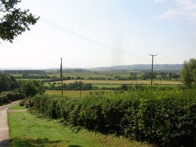
Cold Knap Wood is a picturesque woodland located in the county of Worcestershire, England. Situated near the village of Bewdley, this woodland covers an area of approximately 50 acres and is known for its natural beauty and rich biodiversity.
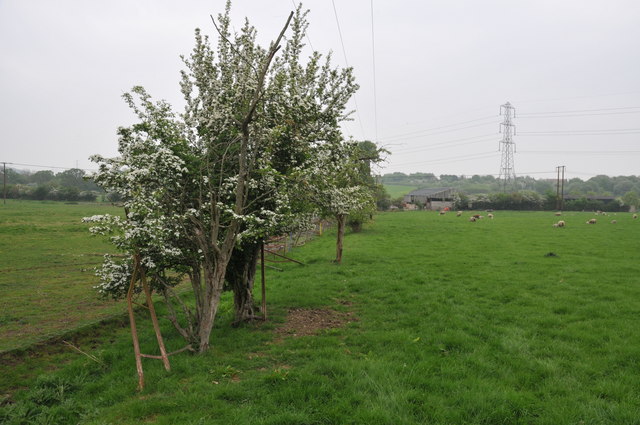
The wood is predominantly composed of mixed broadleaf trees, including oak, beech, ash, and birch. These towering trees create a dense canopy, casting dappled sunlight onto the forest floor and providing a tranquil and serene atmosphere for visitors.
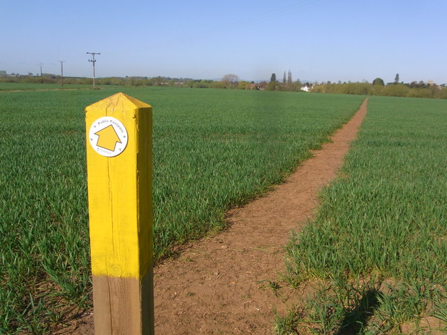
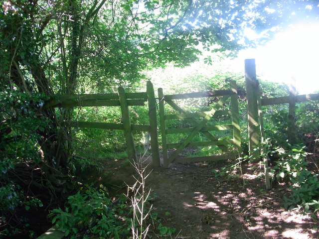
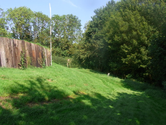
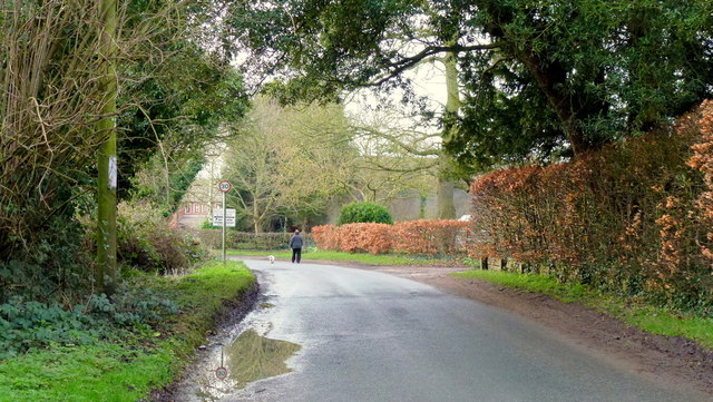
Within Cold Knap Wood, there are several well-maintained footpaths that allow visitors to explore and appreciate the natural wonders of the woodland. These paths wind through the trees, offering stunning views of the surrounding landscape and showcasing the seasonal beauty of the changing foliage.
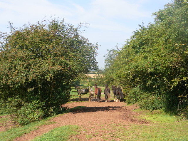
The wood is home to a diverse range of flora and fauna. Bluebells carpet the forest floor in the spring, creating a breathtaking display of color and fragrance. Various species of birds, including woodpeckers, thrushes, and owls, can be spotted throughout the year, while squirrels and deer are often seen darting through the undergrowth.
Cold Knap Wood is not only a haven for nature enthusiasts but also provides an important habitat for wildlife conservation. The wood is managed by local authorities to maintain its ecological balance and protect its unique ecosystem.
In conclusion, Cold Knap Wood in Worcestershire offers a tranquil escape into nature, with its ancient trees, enchanting footpaths, and diverse wildlife. Whether it be a leisurely stroll, birdwatching, or simply enjoying the beauty of a natural woodland, Cold Knap Wood has something to offer for everyone.
If you have any feedback on the listing, please let us know in the comments section below.
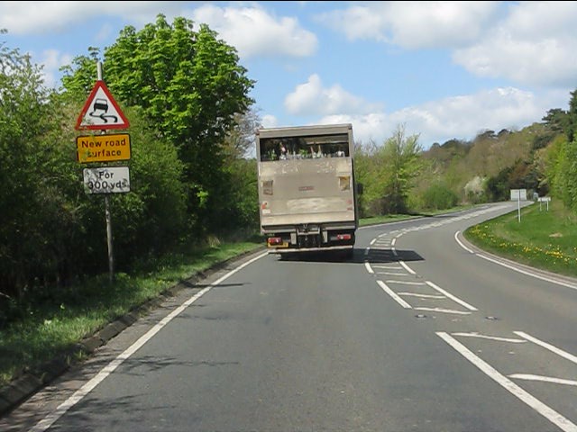
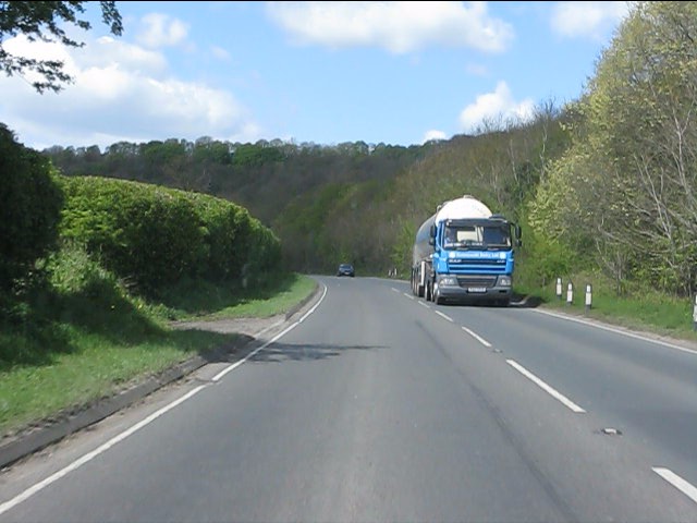
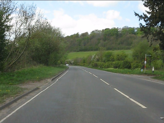
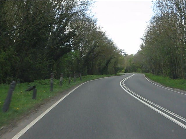
Cold Knap Wood Images
Images are sourced within 2km of 52.125071/-1.9796071 or Grid Reference SP0147. Thanks to Geograph Open Source API. All images are credited.


Cold Knap Wood is located at Grid Ref: SP0147 (Lat: 52.125071, Lng: -1.9796071)
Administrative County: Worcestershire
District: Wychavon
Police Authority: West Mercia
What 3 Words
///prefix.roadshow.bordering. Near Harvington, Worcestershire
Nearby Locations
Related Wikis
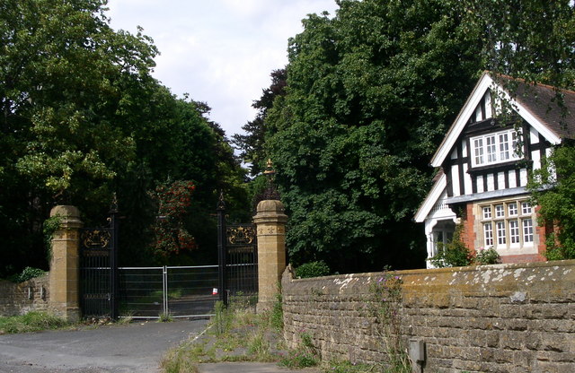
Wood Norton Hall
Wood Norton Hall is a Grade II* listed Victorian stately home to the northwest of Evesham, Worcestershire, England. It was the last home in England of...

Norton and Lenchwick
Norton and Lenchwick is a civil parish in the Wychavon district, in the county of Worcestershire, England. The parish population in 2021 was 1,056. The...
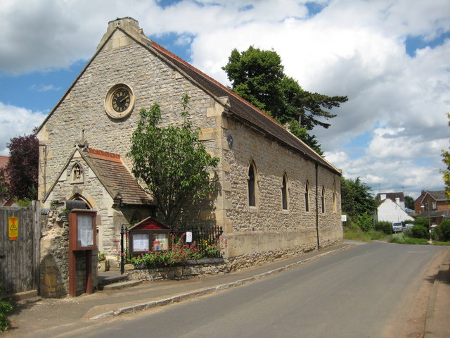
Charlton, Worcestershire
Charlton is a village in the Wychavon district of the county of Worcestershire, England. During the 2007 United Kingdom floods, many homes were affected...

Fladbury railway station
Fladbury railway station was a station in Fladbury, Worcestershire, England. The station was opened in 1854 and closed in 1966. == References == ��2�...
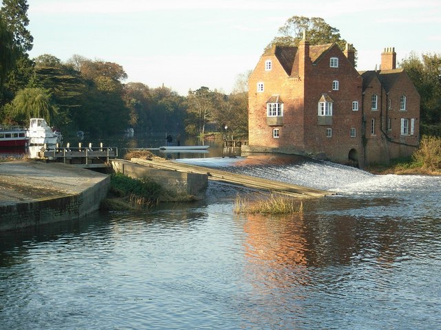
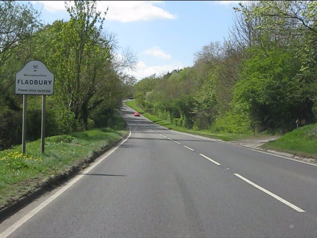
Fladbury
Fladbury is a traditional English village located in rural Worcestershire, England. The village was mentioned in the Domesday Book, almost 1,000 years...

Ab Lench
Ab Lench is a village and former civil parish, now in the parish of South Lenches, in the Wychavon district, in the county of Worcestershire, England...

Battle of Evesham
The Battle of Evesham (4 August 1265) was one of the two main battles of 13th century England's Second Barons' War. It marked the defeat of Simon de Montfort...
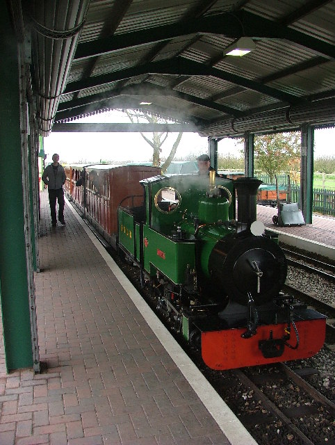
Evesham Vale Light Railway
The Evesham Vale Light Railway is a 15 in (381 mm) gauge railway that operates in Evesham Country Park in Worcestershire, England. == Route == The railway...
Nearby Amenities
Located within 500m of 52.125071,-1.9796071Have you been to Cold Knap Wood?
Leave your review of Cold Knap Wood below (or comments, questions and feedback).