Bond's Wood

Wood, Forest in Staffordshire Stafford

England

Bond's Wood

View to Millennium Green, Hixon, Staffordshire The view is taken from the car park. The Bank House public house is immediately behind the camera. The Hixon Millennium Green was opened on January 1st 2000 as part of a nationwide series of Millennium Greens in England each managed by trustees.
View to Millennium Green, Hixon, Staffordshire Credit: Rod Grealish

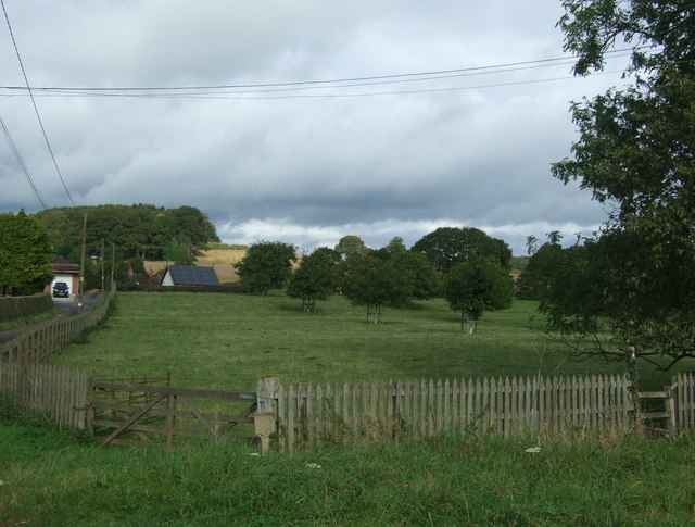
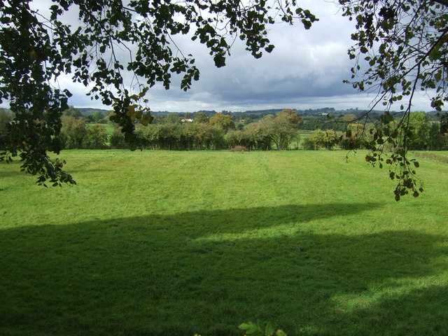
Bond's Wood is a picturesque woodland located in Staffordshire, England. Covering an area of approximately 100 acres, it is renowned for its natural beauty, rich biodiversity, and historical significance. Situated on the outskirts of the village of Bond's Wood, this forested area offers a peaceful retreat for nature lovers and outdoor enthusiasts alike.

The wood is primarily composed of native broadleaf trees, including oak, beech, and birch, creating a diverse and vibrant canopy. This vibrant woodland offers a haven for a wide variety of wildlife, making it a popular destination for birdwatchers and wildlife enthusiasts. Visitors may have the opportunity to spot woodpeckers, deer, squirrels, and a plethora of other woodland creatures in their natural habitat.

Apart from its natural beauty, Bond's Wood has a rich historical background. The area has evidence of human settlement dating back to the Bronze Age, and ancient burial mounds can still be found within the wood. Additionally, the wood was once used as a hunting ground for the wealthy landowners in the area during the medieval period.

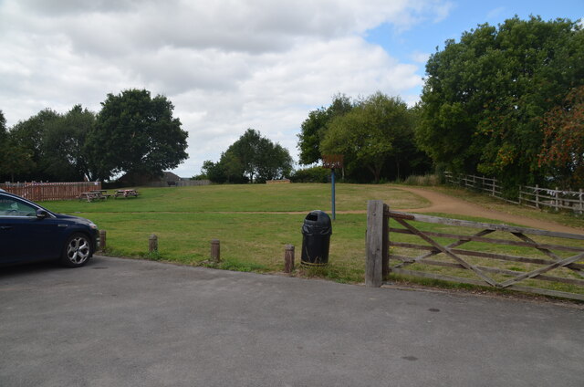
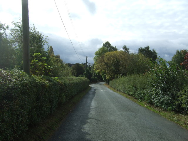
The wood is easily accessible, with well-maintained footpaths and trails that provide visitors with the opportunity to explore the forest at their leisure. There are also designated picnic areas and benches scattered throughout the wood, allowing visitors to relax and soak in the tranquil atmosphere.

Bond's Wood is a true gem in the heart of Staffordshire, offering visitors the chance to connect with nature, explore its historical roots, and enjoy the serenity of this enchanting woodland.

If you have any feedback on the listing, please let us know in the comments section below.
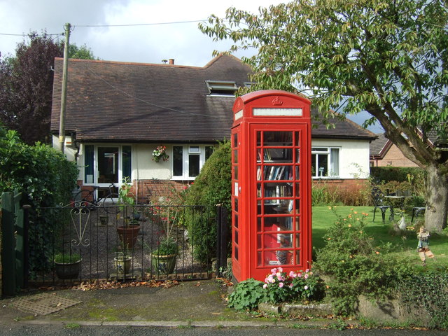
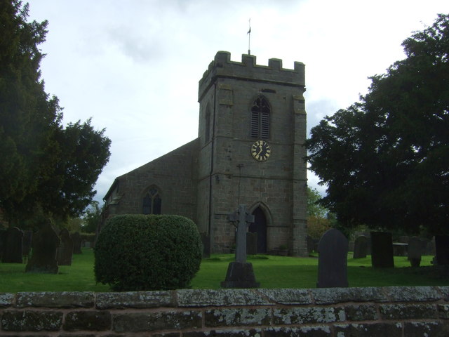
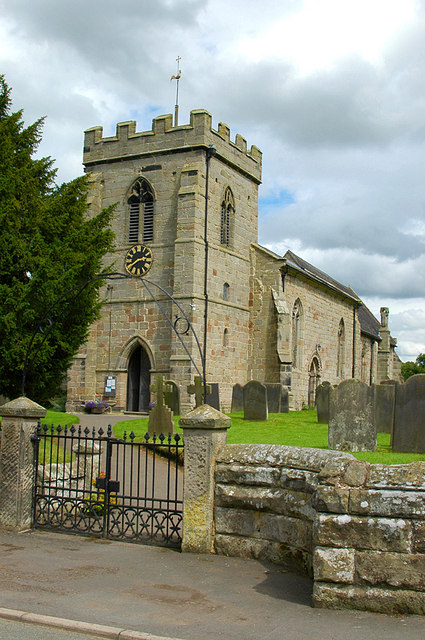
Bond's Wood Images

Images are sourced within 2km of 52.838487/-1.9805259 or Grid Reference SK0126. Thanks to Geograph Open Source API. All images are credited.

View to Millennium Green, Hixon, Staffordshire The view is taken from the car park. The Bank House public house is immediately behind the camera. The Hixon Millennium Green was opened on January 1st 2000 as part of a nationwide series of Millennium Greens in England each managed by trustees.
View to Millennium Green, Hixon, Staffordshire
The view is taken from the car park. The Bank House public house is immediately behind the camera. The Hixon Millennium Green was opened on January 1st 2000 as part of a nationwide series of Millennium Greens in England each managed by trustees.
Stowe by Chartley, St John the Baptist
The Church of St John at Stowe-by-Chartley Viewed from the north-west.
The Church of St John at Stowe-by-Chartley
Viewed from the north-west.
Ordnance Survey Flush Bracket G3875 This can be found on the roadside wall of Bistro le Coq (former Cock Inn) in Stowe-by-Chartley.
For more detail see : <span class="nowrap"><a title="http://www.bench-marks.org.uk/bm10451" rel="nofollow ugc noopener" href="http://www.bench-marks.org.uk/bm10451">Link</a><img style="margin-left:2px;" alt="External link" title="External link - shift click to open in new window" src="https://s1.geograph.org.uk/img/external.png" width="10" height="10"/></span>
Ordnance Survey Flush Bracket G3875
This can be found on the roadside wall of Bistro le Coq (former Cock Inn) in Stowe-by-Chartley. For more detail see : LinkExternal link
Ordnance Survey Flush Bracket 11448 This can be found on the parapet wall of a roadside drain near Normanswood Farm.
For more detail see : <span class="nowrap"><a title="http://www.bench-marks.org.uk/bm19179" rel="nofollow ugc noopener" href="http://www.bench-marks.org.uk/bm19179">Link</a><img style="margin-left:2px;" alt="External link" title="External link - shift click to open in new window" src="https://s1.geograph.org.uk/img/external.png" width="10" height="10"/></span>
Ordnance Survey Flush Bracket 11448
This can be found on the parapet wall of a roadside drain near Normanswood Farm. For more detail see : LinkExternal link
Drointon Lane near the entrance to Normanswood Farm Looking north-eastward.
Drointon Lane near the entrance to Normanswood Farm
Looking north-eastward.
Ordnance Survey Flush Bracket G3874 This can be found on the wall of a barn at Upper Farm, Drointon.
For more detail see : <span class="nowrap"><a title="http://www.bench-marks.org.uk/bm11084" rel="nofollow ugc noopener" href="http://www.bench-marks.org.uk/bm11084">Link</a><img style="margin-left:2px;" alt="External link" title="External link - shift click to open in new window" src="https://s1.geograph.org.uk/img/external.png" width="10" height="10"/></span>
Ordnance Survey Flush Bracket G3874
This can be found on the wall of a barn at Upper Farm, Drointon. For more detail see : LinkExternal link
Lane near Upper Farm at Drointon Looking north-eastward.
Lane near Upper Farm at Drointon
Looking north-eastward.
Ordnance Survey Flush Bracket G3873 This can be found on the roadside wall of a former barn - now a private dwelling - at Lea Heath Farm.
For more detail see : <span class="nowrap"><a title="http://www.bench-marks.org.uk/bm10450" rel="nofollow ugc noopener" href="http://www.bench-marks.org.uk/bm10450">Link</a><img style="margin-left:2px;" alt="External link" title="External link - shift click to open in new window" src="https://s1.geograph.org.uk/img/external.png" width="10" height="10"/></span>
Ordnance Survey Flush Bracket G3873
This can be found on the roadside wall of a former barn - now a private dwelling - at Lea Heath Farm. For more detail see : LinkExternal link
Lea Road at Lea Heath Farm Looking south-eastward.
Lea Road at Lea Heath Farm
Looking south-eastward.
Tollgate Cottage On the A518 near Stowe-by-Chartley.
Tollgate Cottage
On the A518 near Stowe-by-Chartley.
A518 towards Uttoxeter Looking north east.
A518 towards Uttoxeter
Looking north east.
Grazing near Chartley Hall Off the A518.
Grazing near Chartley Hall
Off the A518.
Grazing of Station Road Beside the former railway.
Grazing of Station Road
Beside the former railway.
Station Road into Stowe-by-Chartley  Looking south from the bridge on the former railway.
Station Road into Stowe-by-Chartley
Looking south from the bridge on the former railway.
Village Hall, Stowe-by-Chartley
Telephone box on Station Road, Stowe-by-Chartley  Now in use as a book exchange.
Telephone box on Station Road, Stowe-by-Chartley
Now in use as a book exchange.
St John the Baptist Church, Stowe-by-Chartley
Show me another place!

Bond's Wood is located at Grid Ref: SK0126 (Lat: 52.838487, Lng: -1.9805259)

Administrative County: Staffordshire

District: Stafford

Police Authority: Staffordshire

What 3 Words

///premises.backfired.anyway. Near Great Haywood, Staffordshire

Related Wikis

Stowe-by-Chartley

Stowe-by-Chartley is a village and civil parish in the Borough of Stafford, Staffordshire, England. According to the parish council, the parish includes...

Chartley railway station

Chartley railway station was a former British railway station to serve the village of Stowe-by-Chartley in Staffordshire. It was opened by the Stafford...

Hixon, Staffordshire

Hixon is a village and a civil parish in the English county of Staffordshire.grid reference SK003259 == Location == The village is 7.8 miles (12.6 km)...
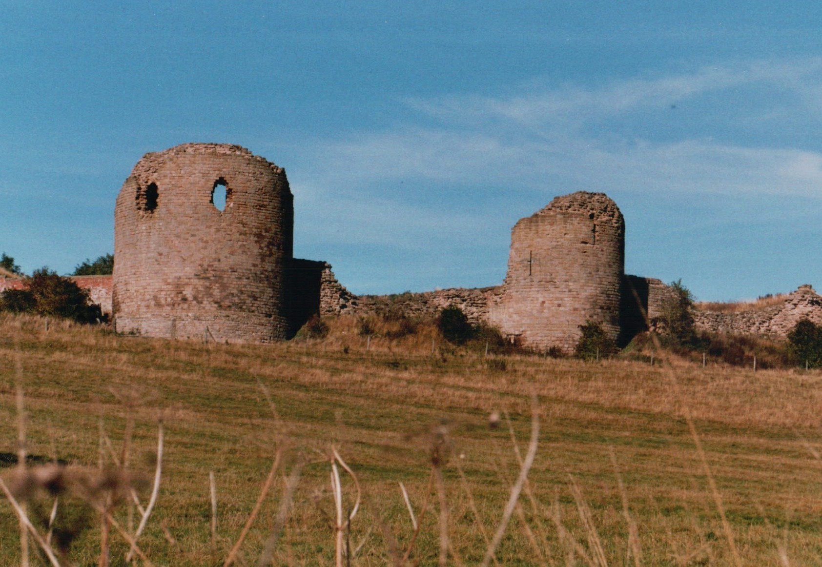
Chartley Castle

Chartley Castle lies in ruins to the north of the village of Stowe-by-Chartley in Staffordshire, between Stafford and Uttoxeter (grid reference SK010285...

Amerton

Amerton is a small village in the Borough of Stafford, Staffordshire, England, situated on the A518 road between Stafford and Uttoxeter. The population...

RAF Hixon

Royal Air Force Hixon, or more simply RAF Hixon, was a Royal Air Force station located on the north western edge of the village of Hixon in Staffordshire...

RAF Seighford

Royal Air Force Seighford or more simply RAF Seighford is a former Royal Air Force satellite station located 3.6 miles (5.8 km) northwest of Stafford,...

Chartley Moss

Chartley Moss is a 105.80 hectare biological Site of Special Scientific Interest in Staffordshire, notified in 1987. The area has been designated as an...

Nearby Amenities

Located within 500m of 52.838487,-1.9805259
Barrier: stile
Bicycle: no
Foot: yes
Material: wood
Stile: stepover
Lat/Long: 52.8416334/-1.9814941
The data included in this document is from www.openstreetmap.org. The data is made available under ODbL.

Have you been to Bond's Wood?

Leave your review of Bond's Wood below (or comments, questions and feedback).