Balehill Plantation
Wood, Forest in Northumberland
England
Balehill Plantation
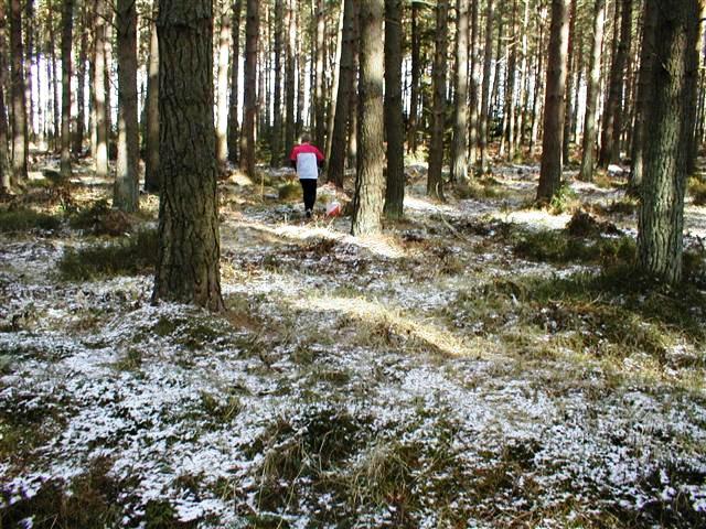
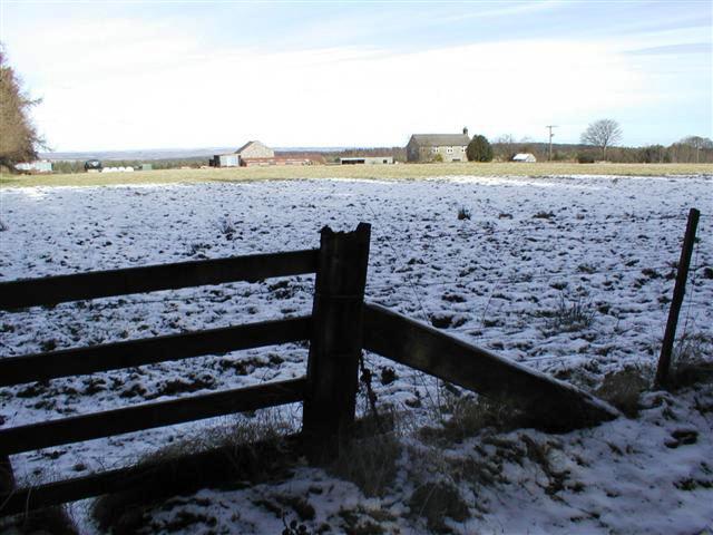
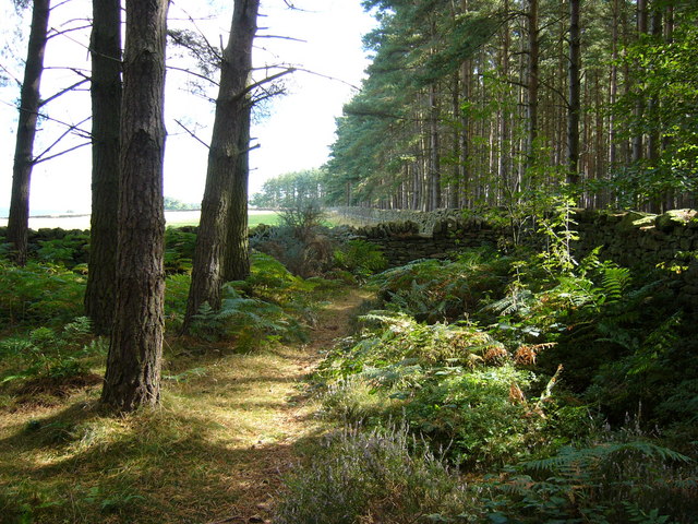
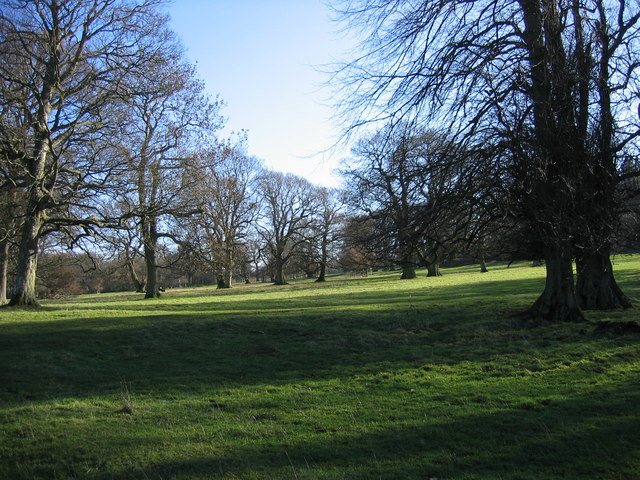
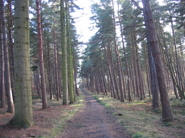
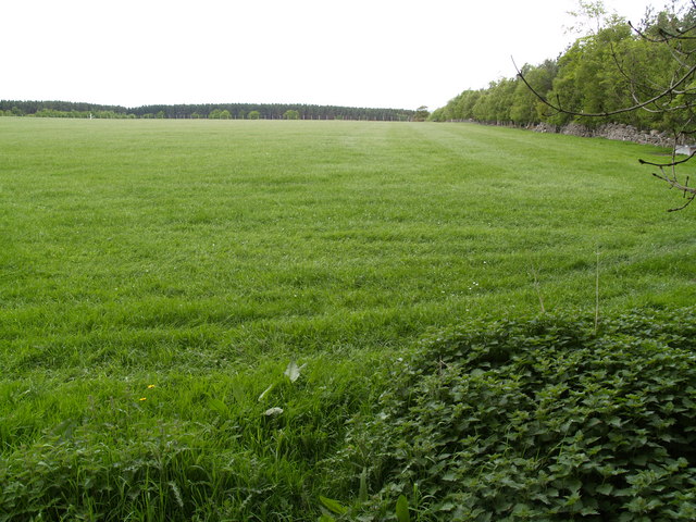
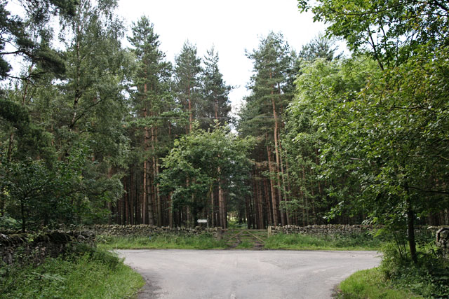
Balehill Plantation is a picturesque woodland area located in the county of Northumberland, England. Situated on the outskirts of the small village of Balehill, the plantation covers an expansive area of approximately 500 acres. It is known for its lush greenery and dense forest, making it a popular destination for nature enthusiasts and hikers.
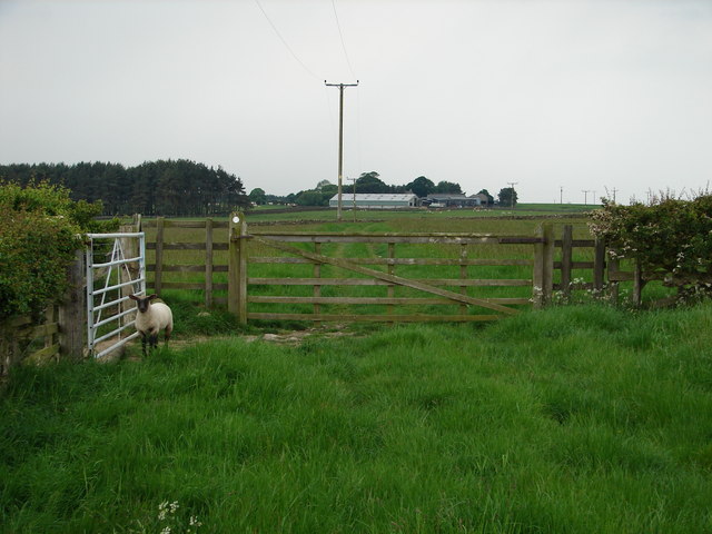
The plantation is predominantly composed of native tree species such as oak, beech, and birch, which create a diverse and vibrant ecosystem. These trees provide a habitat for a wide range of wildlife, including various bird species, small mammals, and insects. The plantation is particularly renowned for being a haven for birdwatchers, with sightings of rare and migratory birds being common.
The woodland is crisscrossed by a network of well-maintained trails, making it accessible to visitors of all ages and abilities. These paths wind through the plantation, offering breathtaking views of the surrounding countryside and providing opportunities for peaceful walks and leisurely strolls. Along the trails, visitors can also find informative signs detailing the local flora and fauna, enhancing the educational experience.
Balehill Plantation is also a popular spot for outdoor activities such as picnicking, photography, and nature study. The tranquil atmosphere and beautiful surroundings make it an ideal location for those seeking solace in nature or wanting to engage in outdoor recreational pursuits.
In conclusion, Balehill Plantation in Northumberland is a stunning woodland area that offers a wide range of natural beauty and recreational opportunities. With its diverse ecosystem and well-maintained trails, it attracts visitors from near and far, providing a peaceful escape from the hustle and bustle of everyday life.
If you have any feedback on the listing, please let us know in the comments section below.
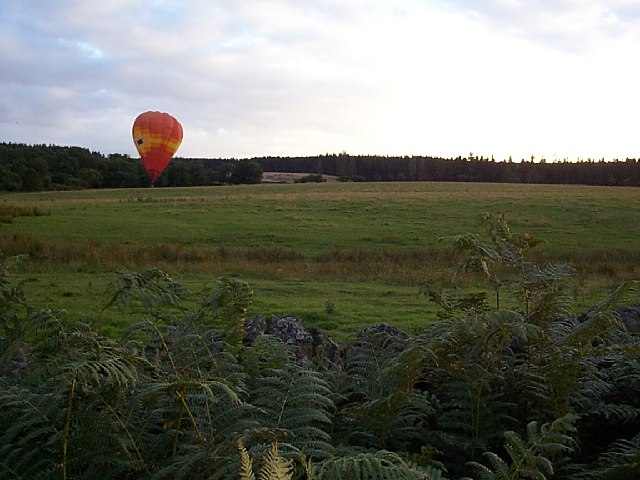
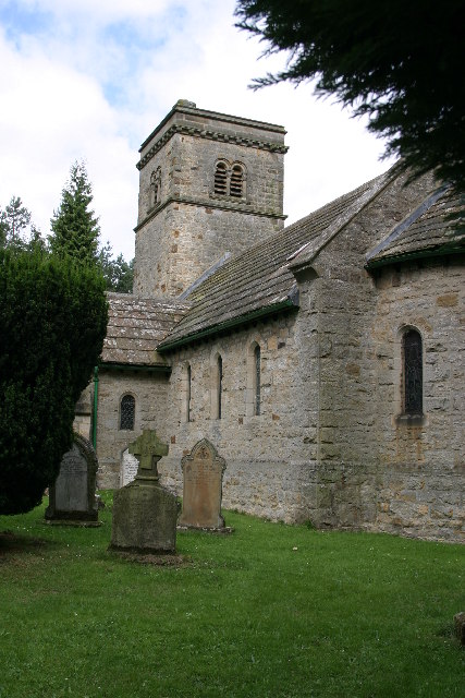
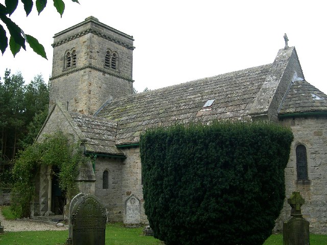
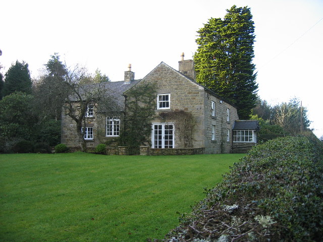
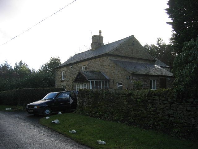
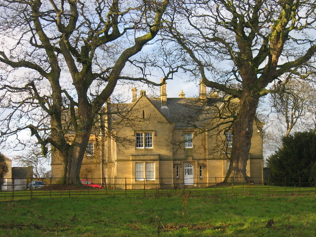
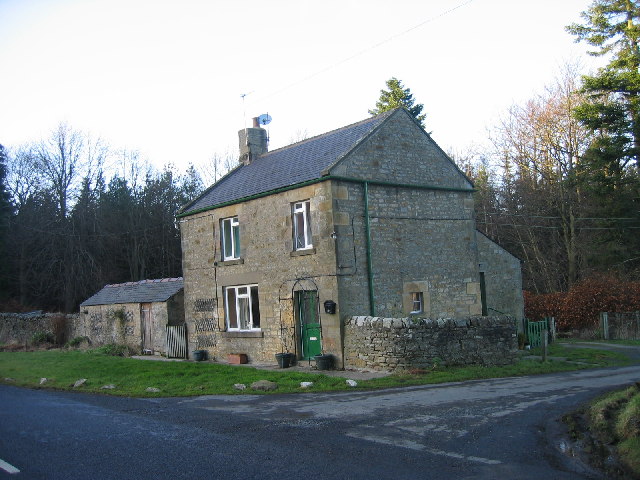
Balehill Plantation Images
Images are sourced within 2km of 54.914202/-1.9797218 or Grid Reference NZ0157. Thanks to Geograph Open Source API. All images are credited.

Balehill Plantation is located at Grid Ref: NZ0157 (Lat: 54.914202, Lng: -1.9797218)
Unitary Authority: Northumberland
Police Authority: Northumbria
What 3 Words
///denoting.became.spaces. Near Healey, Northumberland
Nearby Locations
Related Wikis

Healey, Northumberland
Healey is a rural estate and civil parish in Northumberland, England, situated between Riding Mill to the north and Slaley to the south. The neo-Norman...

Minsteracres
Minsteracres is an 18th-century mansion house, now a Christian retreat centre, in Northumberland, England. It is a Grade II listed building.The house was...

Slaley Hall
Slaley Hall is a country house golf resort in Northumberland in North East England, built by local developers Seamus O'Carroll and John Rourke which hosted...

Broomley
Broomley is a village in the civil parish of Stocksfield, in Northumberland, England. It is situated between Hexham and Newcastle upon Tyne, to the south...
Have you been to Balehill Plantation?
Leave your review of Balehill Plantation below (or comments, questions and feedback).