Austen's Copse
Wood, Forest in Gloucestershire Cotswold
England
Austen's Copse

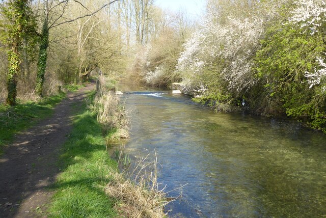
Austen's Copse is a picturesque wood located in the county of Gloucestershire, England. Nestled within the enchanting Forest of Dean, this idyllic copse covers an area of approximately 10 acres, making it a haven for nature lovers and outdoor enthusiasts alike.
The copse is primarily composed of ancient oak trees that have stood tall for centuries, their branches intertwining to create a captivating canopy overhead. These magnificent trees provide a sheltered habitat for numerous species of flora and fauna, making Austen's Copse a biodiversity hotspot.
Walking through Austen's Copse, one is immediately struck by the serene and tranquil atmosphere that permeates the air. The forest floor is carpeted with a lush undergrowth of ferns, wildflowers, and mosses, creating a vibrant tapestry of colors. The sound of birdsong fills the air, as various species of birds flit between the branches, their melodious tunes adding to the natural symphony of the copse.
The copse is crisscrossed with several well-maintained trails, allowing visitors to explore its beauty at their own pace. These paths wind through the woods, leading to hidden clearings and peaceful glades. Along the way, one may encounter several small streams and babbling brooks, adding to the enchantment of the surroundings.
Austen's Copse is a popular destination for those seeking solitude and a deep connection with nature. Its ethereal beauty and tranquil ambiance make it an ideal spot for leisurely walks, picnics, and even meditation. This hidden gem in Gloucestershire is a testament to the enduring allure of ancient woodlands and the importance of preserving them for future generations.
If you have any feedback on the listing, please let us know in the comments section below.
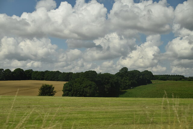
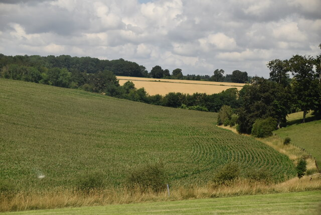
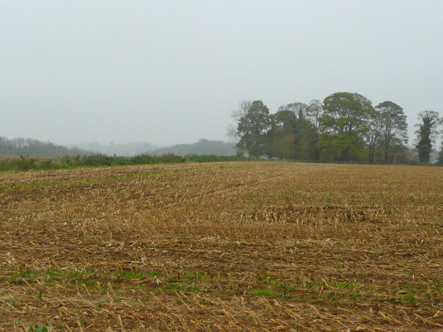
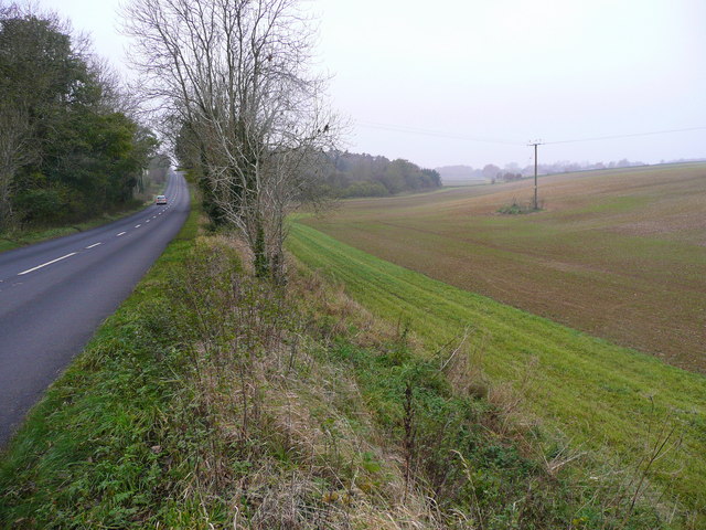
Austen's Copse Images
Images are sourced within 2km of 51.691462/-1.9833878 or Grid Reference SU0199. Thanks to Geograph Open Source API. All images are credited.


Austen's Copse is located at Grid Ref: SU0199 (Lat: 51.691462, Lng: -1.9833878)
Administrative County: Gloucestershire
District: Cotswold
Police Authority: Gloucestershire
What 3 Words
///hack.brings.dragging. Near Cirencester, Gloucestershire
Nearby Locations
Related Wikis

Park Leaze Halt railway station
Park Leaze Halt railway station was one of two intermediate halts on the Cirencester branch line from Kemble, Gloucestershire, England. It was one of the...
Chesterton Lane Halt railway station
Chesterton Lane Halt railway station was one of two intermediate halts on the Cirencester branch line from Kemble, Gloucestershire, England. It was only...

Siddington, Gloucestershire
Siddington is a village and civil parish in Gloucestershire, England. It is located immediately south of Cirencester. At the 2011 United Kingdom Census...
Cirencester College
Cirencester College is a sixth form college based in the town of Cirencester in the South Cotswolds. It is a specialist sixth form provider serving communities...
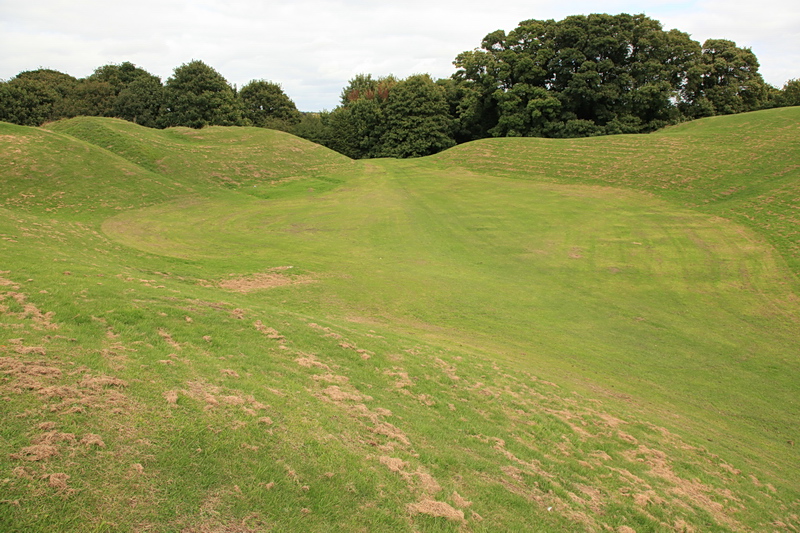
Cirencester Amphitheatre
Cirencester Amphitheatre was a Roman amphitheatre in Cirencester, Gloucestershire, England. Its remains are scheduled as an ancient monument.Archaeological...
Cirencester Deer Park School
Cirencester Deer Park School is a secondary school Park. == History == Founded in 1966, the school combined Cirencester Grammar School with the town's...
Querns area, Cirencester
The Querns is an area of Cirencester, an ancient market town in the Cotswold hills of England. Its principal feature is Cirencester Amphitheatre, an impressive...
Cirencester Watermoor railway station
Cirencester Watermoor railway station was on the Midland and South Western Junction Railway (M&SWJR) at Cirencester in Gloucestershire. The station opened...
Nearby Amenities
Located within 500m of 51.691462,-1.9833878Have you been to Austen's Copse?
Leave your review of Austen's Copse below (or comments, questions and feedback).