Sandy Slade

Wood, Forest in Staffordshire Cannock Chase

England

Sandy Slade

Hednesford Railway Station
Hednesford Railway Station Credit: Ian S

Sandy Slade is a small village located in the county of Staffordshire, England. Nestled amidst the picturesque woodlands and forests, it offers a tranquil and scenic setting for its residents and visitors alike. The village is situated in the Cannock Chase Area of Outstanding Natural Beauty, renowned for its rich biodiversity and stunning landscapes.

The main feature of Sandy Slade is its dense woodland, dominated by tall and majestic trees, creating a peaceful and serene atmosphere. The forested area provides ample opportunities for outdoor activities such as hiking, walking, and wildlife spotting. The lush greenery and well-maintained trails attract nature enthusiasts from far and wide.

Despite its small size, Sandy Slade boasts a close-knit community that takes pride in its village's natural beauty and heritage. The locals actively participate in preserving the environment and organizing community events to foster a sense of solidarity and belonging.

The village is also home to a few charming cottages and houses, which blend seamlessly with the natural surroundings. These properties offer a peaceful retreat for those seeking a quiet and idyllic lifestyle away from the hustle and bustle of urban centers.

In terms of amenities, Sandy Slade has a small convenience store that caters to basic needs. However, for more extensive shopping and entertainment options, residents can easily access nearby towns and cities.

Sandy Slade, Staffordshire, truly embodies the essence of a woodland village, with its breathtaking natural landscapes, community spirit, and a peaceful way of life. It serves as a haven for nature lovers and those seeking a slower pace of life amidst the beauty of the countryside.

If you have any feedback on the listing, please let us know in the comments section below.
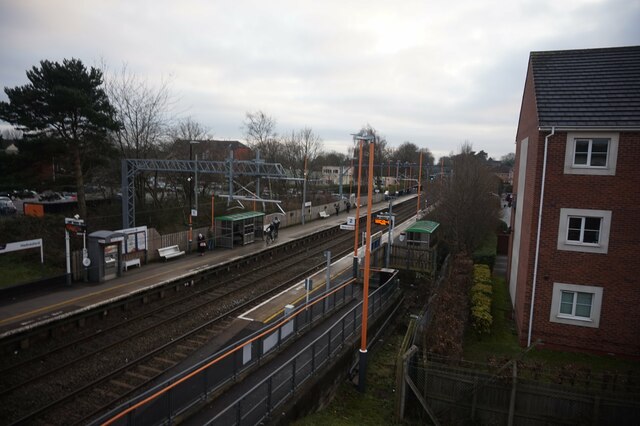
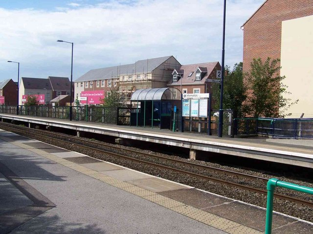
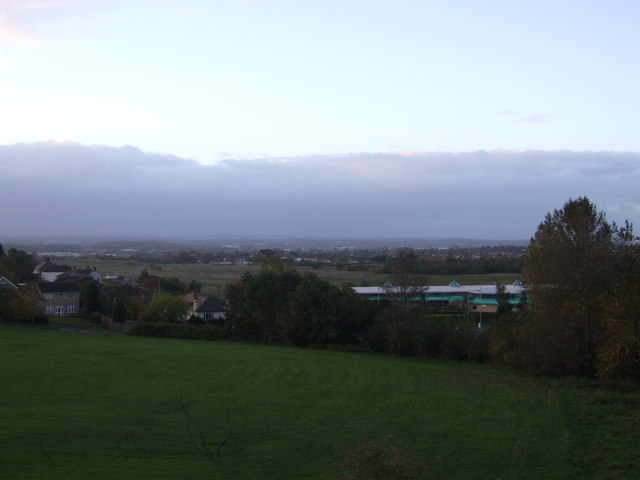
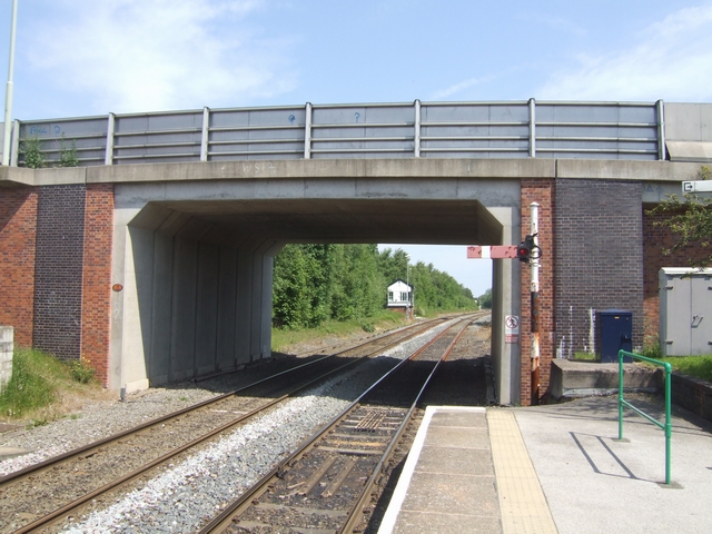
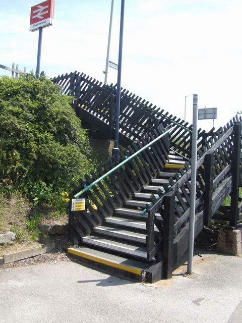
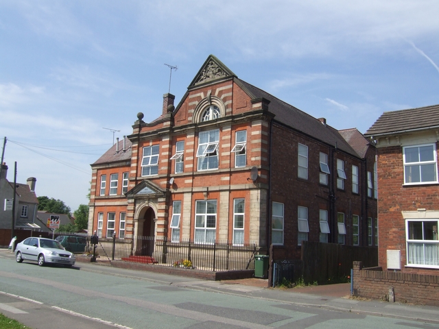
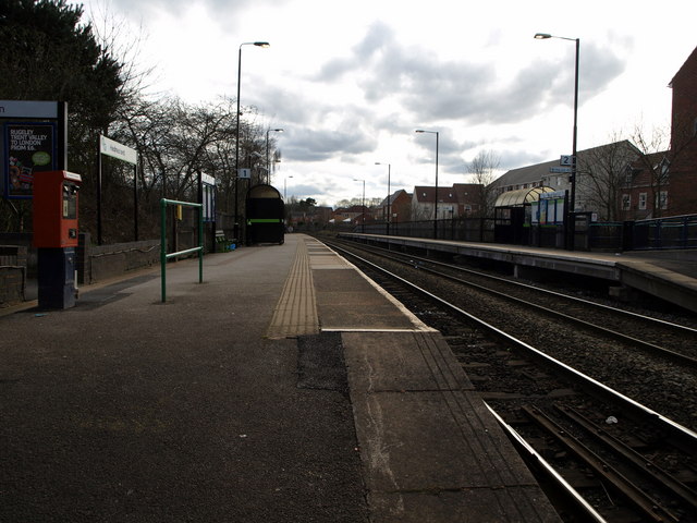
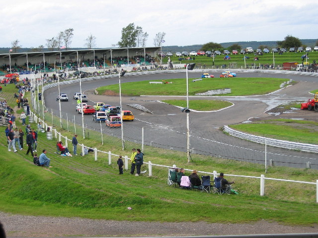
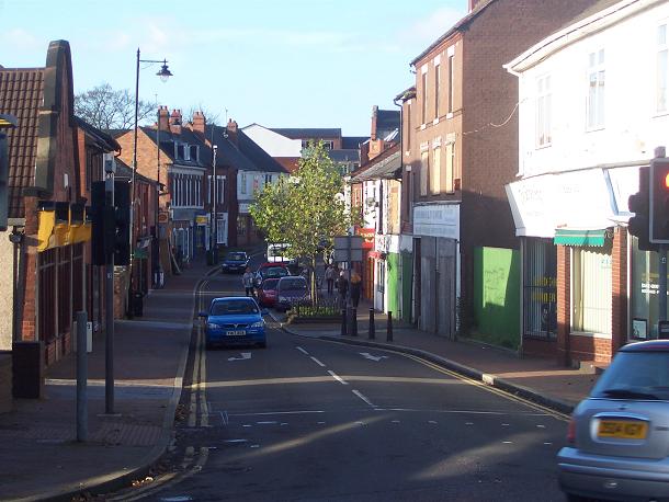
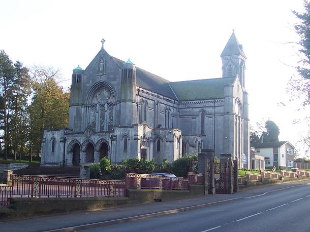
Sandy Slade Images

Images are sourced within 2km of 52.71819/-1.9841762 or Grid Reference SK0113. Thanks to Geograph Open Source API. All images are credited.

Hednesford Railway Station
Hednesford Station Opened in 1989, trains operated by Central Trains run between Birmingham and Rugeley
Hednesford Station
Opened in 1989, trains operated by Central Trains run between Birmingham and Rugeley
Pye Green Valley and Pye Green Valley School Pye Green Valley was the location of the former West Cannock Collieries, Nos. 1, 2 and 3, a prosperous coal mining area providing local employment within the Cannock area for a large workforce. Several seams of coal were mined at moderate depths under and around the Pye Green Valley. Plans going back to 1880 show the site to be principally occupied by West Cannock Colliery, with colliery buildings associated with pits Nos. 1 and 4 to the north and pit No. 3 in the south.
Pye Green Valley and Pye Green Valley School
Pye Green Valley was the location of the former West Cannock Collieries, Nos. 1, 2 and 3, a prosperous coal mining area providing local employment within the Cannock area for a large workforce. Several seams of coal were mined at moderate depths under and around the Pye Green Valley. Plans going back to 1880 show the site to be principally occupied by West Cannock Colliery, with colliery buildings associated with pits Nos. 1 and 4 to the north and pit No. 3 in the south.
Looking north from Hednesford Station A new bridge adjacent to the station on the Stafford to Walsall line.
Looking north from Hednesford Station
A new bridge adjacent to the station on the Stafford to Walsall line.
Steps at Hednesford Station
Anglesey Court, Hednesford Built in 1912 and recently converted into flats. The Marquis of Anglesey was the major landowner in the area.
Anglesey Court, Hednesford
Built in 1912 and recently converted into flats. The Marquis of Anglesey was the major landowner in the area.
Hednesford Railway Station, looking towards Cannock.
Hednesford Raceway
Hednesford Raceway
Market Street, Hednesford
Our Lady of Lourdes RC Church, Hednesford
Lake on Keys Park Road
Wimblebury looking north on John Street
Lake The lake is on the site of one of the many former collieries in the Cannock Coalfield
Lake
The lake is on the site of one of the many former collieries in the Cannock Coalfield
Railway Bridge
Railway Bridge
Lake in Hazelslade Local Nature Reserve
Walking Area On the site of the former West Cannock Colliery
Walking Area
On the site of the former West Cannock Colliery
Walking Path Part of the Cross Chase Walk on the site of the former West Cannock Colliery
Walking Path
Part of the Cross Chase Walk on the site of the former West Cannock Colliery
Show me another place!

Sandy Slade is located at Grid Ref: SK0113 (Lat: 52.71819, Lng: -1.9841762)

Administrative County: Staffordshire

District: Cannock Chase

Police Authority: Staffordshire

What 3 Words

///glitz.candy.unstated. Near Cannock, Staffordshire

Nearby Locations

Sandy Slade

Related Wikis

Valley coal mine

Valley Colliery, commonly known as Valley Pit, was a deep coal mine and training centre located in Hednesford, Staffordshire, UK. Situated at the foot...

Hednesford Park

Hednesford Park is a park located in Hednesford, Staffordshire, England. The park covers an area of 24 acres (9.7 hectares), consisting of a recreational...

Hednesford Hills Raceway

Hednesford Hills Raceway (often referred to as Hednesford Raceway) is an oval, short-circuit motor racing venue, situated on Cannock Chase, approximately...

Hazelslade

Hazelslade is a former mining village in Staffordshire, England. It is now part of Cannock Chase District. The village is located between Hednesford and...

Nearby Amenities

Located within 500m of 52.71819,-1.9841762
Bus Stop
Walkers Rise
Bus: yes
Naptan AtcoCode: 3800C225701
Naptan Bearing: SW
Naptan CommonName: Walkers Rise
Naptan Indicator: Opp
Naptan Landmark: Walkers Rise
Naptan Street: Rugeley Road
Naptan Verified: no
Public Transport: platform
Source: naptan_import
Lat/Long: 52.7218759/-1.986275
Bus Stop
Walkers Rise
Bus: yes
Naptan AtcoCode: 3800C225702
Naptan Bearing: NE
Naptan CommonName: Walkers Rise
Naptan Indicator: Adj
Naptan Landmark: Walkers Rise
Naptan Street: Rugeley Road
Naptan Verified: no
Public Transport: platform
Source: naptan_import
Lat/Long: 52.7218872/-1.9865888
The data included in this document is from www.openstreetmap.org. The data is made available under ODbL.

Have you been to Sandy Slade?

Leave your review of Sandy Slade below (or comments, questions and feedback).