Backhill Wood

Wood, Forest in Staffordshire Staffordshire Moorlands

England

Backhill Wood

Pasture south-east of Leek, Staffordshire A telephoto assisted image taken from a passing railway train near Bradnop.
Pasture south-east of Leek, Staffordshire Credit: Roger Kidd

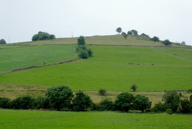
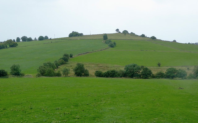
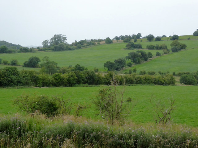
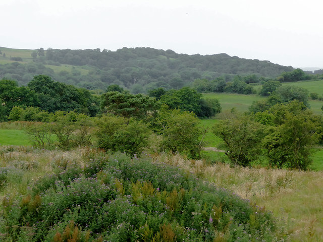
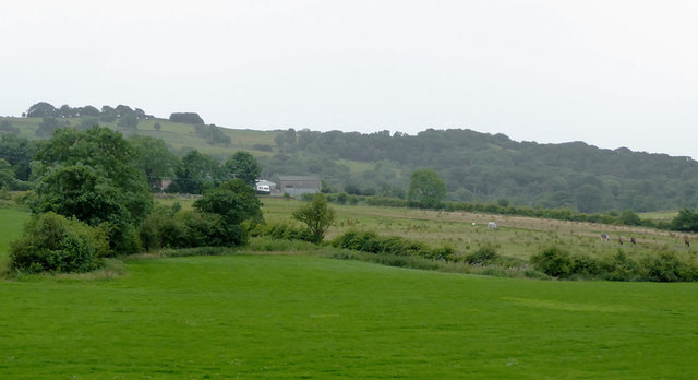
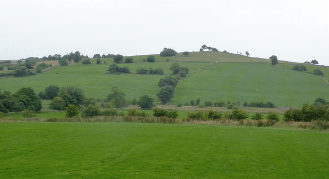
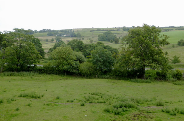
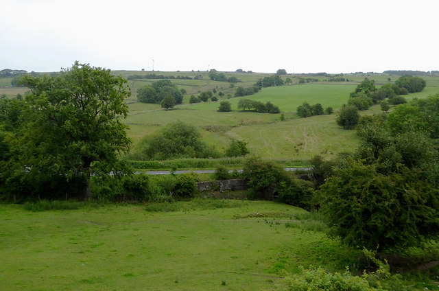
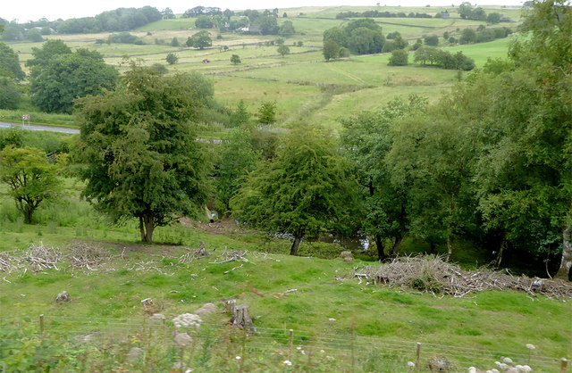
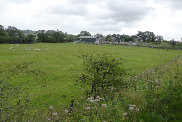
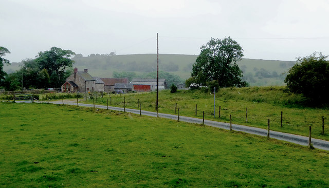
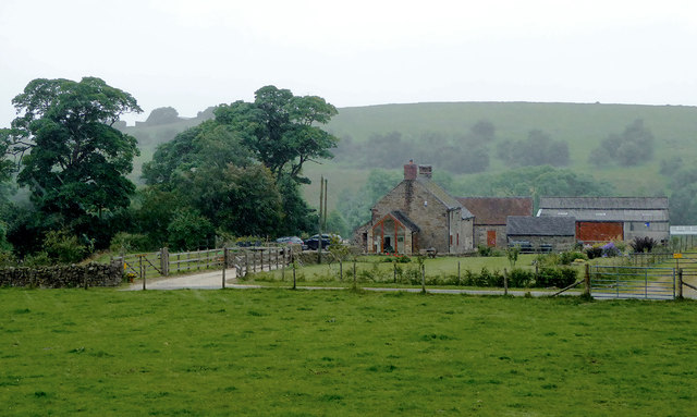
Backhill Wood is a picturesque forest located in the county of Staffordshire, England. Covering an area of approximately 100 acres, it is a popular destination for nature enthusiasts and outdoor enthusiasts alike.

The wood is characterized by a diverse range of tree species, including oak, beech, birch, and pine, which create a rich and vibrant canopy. The forest floor is carpeted with an array of wildflowers, ferns, and mosses, adding to its natural beauty.

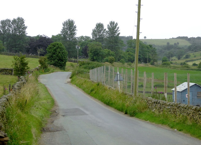
The wood is crisscrossed by numerous walking trails, allowing visitors to explore its tranquil surroundings at their own pace. These trails are well-maintained and signposted, ensuring visitors can navigate easily and safely through the forest. Additionally, there are designated picnic areas and benches scattered throughout the wood, providing the perfect opportunity for visitors to relax and enjoy a picnic amidst the serene surroundings.

Backhill Wood is also home to a diverse range of wildlife. Birdwatchers can spot various species of birds, including woodpeckers, nuthatches, and owls. Squirrels and rabbits are commonly seen scurrying through the undergrowth, adding to the woodland's charm.

The wood is managed by the local forestry commission, who work tirelessly to preserve and protect its natural habitat. They also organize educational programs and events, aimed at raising awareness about the importance of conservation and sustainable forest management.

Overall, Backhill Wood offers a peaceful and enchanting escape from the hustle and bustle of everyday life. With its stunning landscapes, diverse wildlife, and well-maintained trails, it is a must-visit destination for nature lovers and outdoor enthusiasts in Staffordshire.

If you have any feedback on the listing, please let us know in the comments section below.

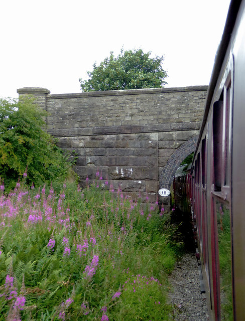
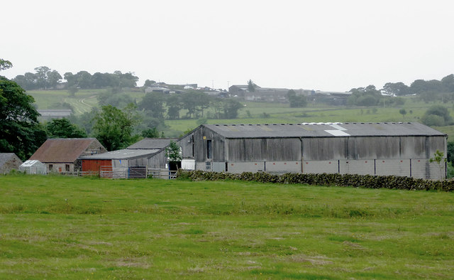
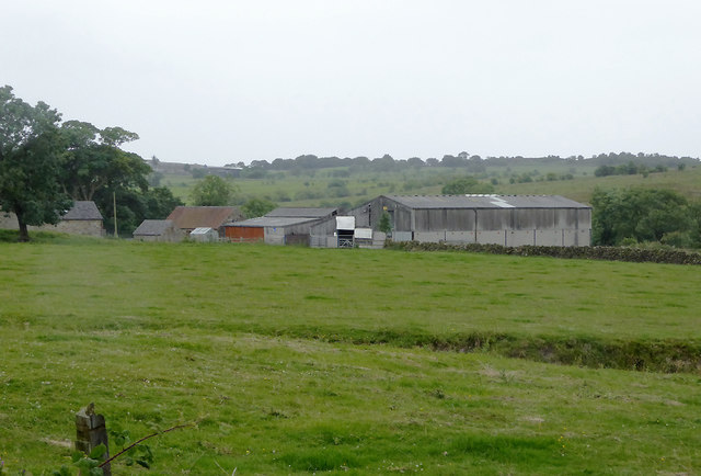
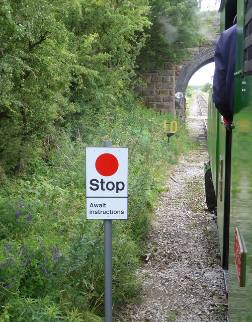
Backhill Wood Images

Images are sourced within 2km of 53.068675/-1.986244 or Grid Reference SK0152. Thanks to Geograph Open Source API. All images are credited.

Pasture south-east of Leek, Staffordshire A telephoto assisted image taken from a passing railway train near Bradnop.
Pasture south-east of Leek, Staffordshire
A telephoto assisted image taken from a passing railway train near Bradnop.
Pasture south-east of Leek, Staffordshire Seen from a passing train on the Churnet Valley Railway, looking south-west from near Longshaw Farm.
Pasture south-east of Leek, Staffordshire
Seen from a passing train on the Churnet Valley Railway, looking south-west from near Longshaw Farm.
Pasture south-east of Leek, Staffordshire Seen from a passing train on the Churnet Valley Railway, looking south-west from near Longshaw Farm.
Pasture south-east of Leek, Staffordshire
Seen from a passing train on the Churnet Valley Railway, looking south-west from near Longshaw Farm.
Farmland and woodland south-east of Leek, Staffordshire Seen from a passing train on the Churnet Valley Railway.
Farmland and woodland south-east of Leek, Staffordshire
Seen from a passing train on the Churnet Valley Railway.
Farmland south-east of Leek, Staffordshire Seen from a passing train on the Churnet Valley Railway, looking towards Apesford Farm.
Farmland south-east of Leek, Staffordshire
Seen from a passing train on the Churnet Valley Railway, looking towards Apesford Farm.
Farmland south-east of Leek, Staffordshire Seen from a passing train on the Churnet Valley Railway, looking towards Revedge  Farm.
Farmland south-east of Leek, Staffordshire
Seen from a passing train on the Churnet Valley Railway, looking towards Revedge Farm.
Lane to Cheddleton, Staffordshire Looking south-west from the level crossing over the Churnet Valley Railway.
Lane to Cheddleton, Staffordshire
Looking south-west from the level crossing over the Churnet Valley Railway.
Staffordshire farmland south-east of Leek The pasture and A523 road at Cook's Hollow are seen here from a passing railway train.
Staffordshire farmland south-east of Leek
The pasture and A523 road at Cook's Hollow are seen here from a passing railway train.
Staffordshire farmland south-east of Leek The pasture and A523 road at Cook's Hollow are seen here from a passing railway train.
Staffordshire farmland south-east of Leek
The pasture and A523 road at Cook's Hollow are seen here from a passing railway train.
Staffordshire farmland south-east of Leek The pasture and A523 road at Cook's Hollow are seen here from a passing railway train.
Staffordshire farmland south-east of Leek
The pasture and A523 road at Cook's Hollow are seen here from a passing railway train.
Pasture south-east of Leek, Staffordshire Land by Woodleigh Farm is seen here from a passing railway train.
Pasture south-east of Leek, Staffordshire
Land by Woodleigh Farm is seen here from a passing railway train.
Pasture and farm south-east of Leek, Staffordshire Woodleigh Farm is seen here from a passing railway train.
Pasture and farm south-east of Leek, Staffordshire
Woodleigh Farm is seen here from a passing railway train.
Woodleigh Farm Bridge near Bradnop, Staffordshire This is a farmer's accommodation bridge across the (now) Churnet Valley Railway, looking north-west towards Leekbrook.
Woodleigh Farm Bridge near Bradnop, Staffordshire
This is a farmer's accommodation bridge across the (now) Churnet Valley Railway, looking north-west towards Leekbrook.
Farm buildings south-east of Bradnop, Staffordshire Part of Ladymeadows Farm seen from a passing railway train. In the mist on the hill is Bradshaw Farm.
Farm buildings south-east of Bradnop, Staffordshire
Part of Ladymeadows Farm seen from a passing railway train. In the mist on the hill is Bradshaw Farm.
Railway and bridge south-east of Bradnop, Staffordshire The bridge is an accommodation bridge for the nearby Ladymeadows Farm. Its main function has now been superseded by a lane and level crossing on the far side of the bridge.

This line is currently being used as far as the former Ipstones Station by the Churnet Valley Railway.

The line is currently owned by the Moorland and City Railways Company, with plans to reopen lines as far as Leek and Stoke, and agreements likely that CVR will have access to all of its tracks.
Railway and bridge south-east of Bradnop, Staffordshire
The bridge is an accommodation bridge for the nearby Ladymeadows Farm. Its main function has now been superseded by a lane and level crossing on the far side of the bridge. This line is currently being used as far as the former Ipstones Station by the Churnet Valley Railway. The line is currently owned by the Moorland and City Railways Company, with plans to reopen lines as far as Leek and Stoke, and agreements likely that CVR will have access to all of its tracks.
Farmland south-east of Bradnop, Staffordshire Ladymeadows Farm seen from the railway on a drizzly afternoon.
Farmland south-east of Bradnop, Staffordshire
Ladymeadows Farm seen from the railway on a drizzly afternoon.
Farmland south-east of Bradnop, Staffordshire Ladymeadows Farm seen from the railway on a drizzly afternoon.
Farmland south-east of Bradnop, Staffordshire
Ladymeadows Farm seen from the railway on a drizzly afternoon.
Show me another place!

Backhill Wood is located at Grid Ref: SK0152 (Lat: 53.068675, Lng: -1.986244)

Administrative County: Staffordshire

District: Staffordshire Moorlands

Police Authority: Staffordshire

What 3 Words

///tenure.tingled.receiving. Near Cheddleton, Staffordshire

Nearby Locations

Padwick Wood Backhill Wood

Related Wikis

Staffordshire Moorlands (UK Parliament constituency)

Staffordshire Moorlands is a constituency represented in the House of Commons of the UK Parliament since 2010 by Karen Bradley, a Conservative who served...

Coombes Valley RSPB reserve

Coombes Valley RSPB reserve (grid reference SK005525) is a nature reserve, run by the RSPB, near the town of Leek in Staffordshire, England. It is best...

Ipstones railway station

Ipstones railway station was a railway station that served the village of Ipstones, Staffordshire. It was opened by the North Staffordshire Railway (NSR...

Above Church

Above Church is a hamlet about 0.6 kilometers (0.4 mi) northwest of Ipstones in the English county of Staffordshire. It is located at grid reference SK016504...

Ipstones

Ipstones is a village and civil parish in the north of the English county of Staffordshire. Ipstones is part of the Staffordshire Moorlands district; within...

Bradnop

Bradnop is a village in Staffordshire, England, located just a few miles to the southeast of the market town of Leek. The name Bradnop was first recorded...

Bradnop railway station

Bradnop railway station was a railway station that served the village of Bradnop, Staffordshire. It was opened by the North Staffordshire Railway (NSR...

Churnet Valley Railway

The Churnet Valley Railway is a preserved standard gauge heritage railway in the Staffordshire Moorlands of Staffordshire, England. It operates on part...

Nearby Amenities

Located within 500m of 53.068675,-1.986244
Bench
Lat/Long: 53.07143/-1.9919091
Bench
Lat/Long: 53.0720205/-1.9902627
Bench
Lat/Long: 53.0722842/-1.9902103
The data included in this document is from www.openstreetmap.org. The data is made available under ODbL.

Have you been to Backhill Wood?

Leave your review of Backhill Wood below (or comments, questions and feedback).