Stephenson House Wood
Wood, Forest in Yorkshire
England
Stephenson House Wood

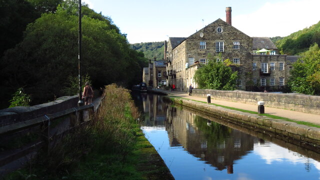
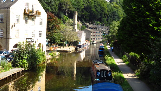
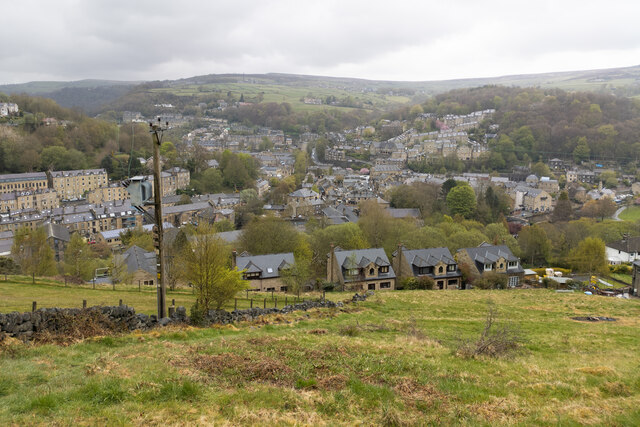
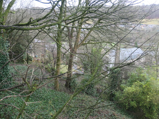
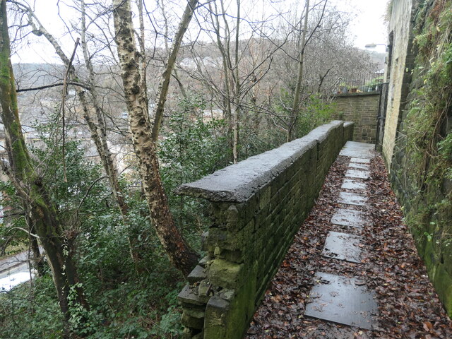
Stephenson House Wood is a picturesque woodland located in Yorkshire, England. This enchanting forest covers an area of approximately 50 acres and is situated near the village of Stephenson House. The wood is known for its diverse range of flora and fauna, making it a popular destination for nature enthusiasts and wildlife photographers.
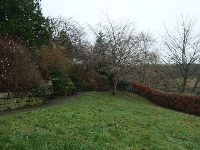
The woodland is predominantly made up of broadleaf trees, such as oak, beech, and ash, which create a dense canopy, providing shade and shelter for a variety of wildlife. The forest floor is adorned with a carpet of wildflowers, including bluebells and primroses, adding to the area's natural beauty.
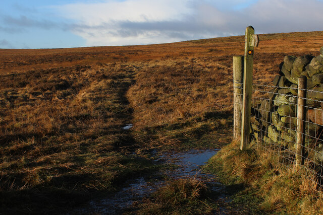
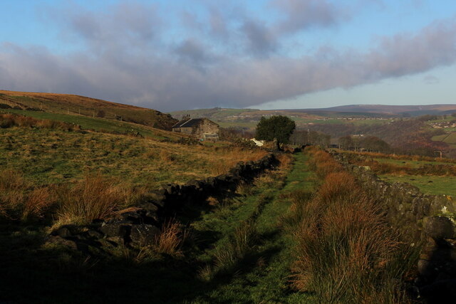
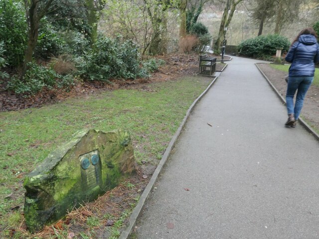
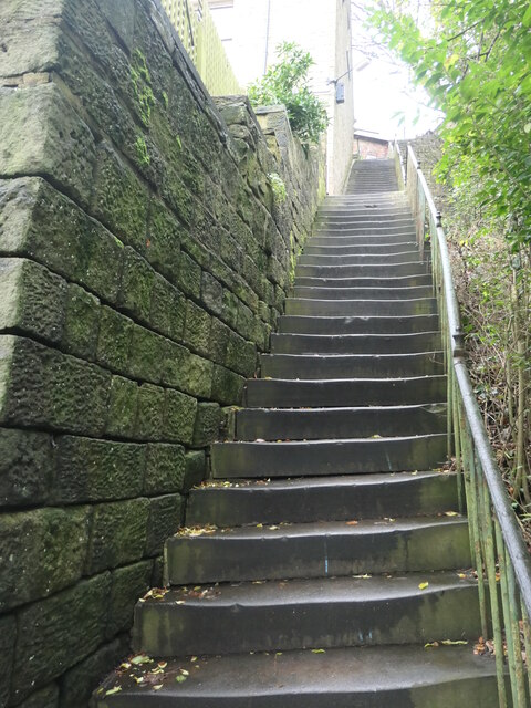
Visitors can enjoy a network of well-maintained walking trails that wind through the wood, allowing them to explore its hidden treasures. These trails offer tranquil surroundings, perfect for peaceful strolls or more adventurous hikes. There are also designated areas for picnics, where visitors can relax and enjoy the peaceful ambiance of the woodland.
Stephenson House Wood is home to a diverse range of animal species, including deer, foxes, and a multitude of bird species. Birdwatchers will be delighted to spot woodpeckers, owls, and various songbirds in their natural habitat. The wood also attracts a variety of insects and small mammals.
The woodland is managed by the local conservation authority, ensuring the preservation of its natural beauty and biodiversity. It is open to the public throughout the year, providing a wonderful opportunity to connect with nature and appreciate the tranquility of Stephenson House Wood.
If you have any feedback on the listing, please let us know in the comments section below.
Stephenson House Wood Images
Images are sourced within 2km of 53.736642/-1.9867283 or Grid Reference SE0026. Thanks to Geograph Open Source API. All images are credited.


Stephenson House Wood is located at Grid Ref: SE0026 (Lat: 53.736642, Lng: -1.9867283)
Division: West Riding
Unitary Authority: Calderdale
Police Authority: West Yorkshire
What 3 Words
///spike.unspoiled.uptake. Near Mytholmroyd, West Yorkshire
Nearby Locations
Related Wikis
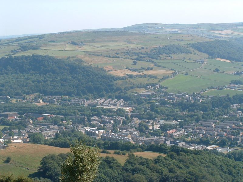
Mytholmroyd
Mytholmroyd (pronounced ) is a large village and former civil parish, now in the parish of Hebden Royd, in the Calderdale district, in West Yorkshire,...
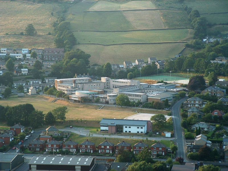
Calder High School
The Calder High School is a coeducational comprehensive school. It specialises in technology, with technology rooms. It is located in the village of Mytholmroyd...

Mytholmroyd railway station
Mytholmroyd railway station serves the communities of Mytholmroyd, Luddendenfoot, Midgley, Cragg Vale, and surrounding areas in West Yorkshire, England...
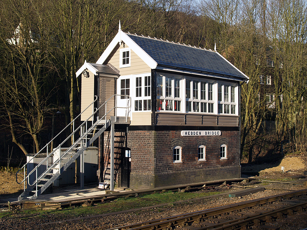
Hebden Bridge signal box
Hebden Bridge signal box is a Grade II listed former Lancashire and Yorkshire Railway signal box, located close to Hebden Bridge railway station in West...

Hebden Bridge railway station
Hebden Bridge railway station serves the town of Hebden Bridge in West Yorkshire, England. The station is on the Calder Valley Line, operated by Northern...

Scout Rock
Scout Rock (known locally as Scout Rocks), is a rock face, once a quarry, cut into a hill called Hathershelf Scout and is on the south side of the Upper...

Hebden Royd
Hebden Royd is a civil parish in the Metropolitan Borough of Calderdale in West Yorkshire, England. According to the 2001 census it had a population of...

Hebden Bridge
Hebden Bridge is a market town in the Calderdale district of West Yorkshire, England. It is in the Upper Calder Valley, 8 miles (13 km) west of Halifax...
Nearby Amenities
Located within 500m of 53.736642,-1.9867283Have you been to Stephenson House Wood?
Leave your review of Stephenson House Wood below (or comments, questions and feedback).