Cottage Wood

Wood, Forest in Worcestershire Wychavon

England

Cottage Wood

Track to Furzehill Farm
Track to Furzehill Farm Credit: Sarah Charlesworth

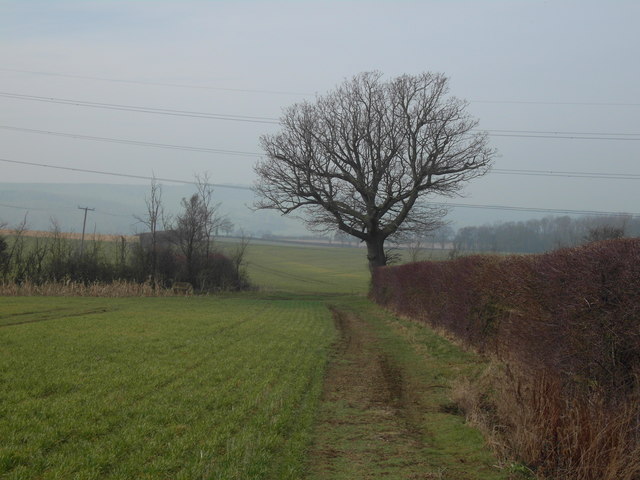
Cottage Wood is a picturesque woodland area located in Worcestershire, England. Situated within the larger Forest of Worcestershire, this charming wood is known for its tranquil atmosphere and stunning natural beauty.

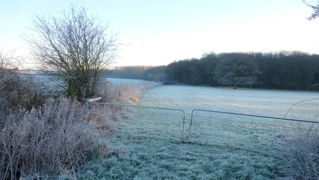
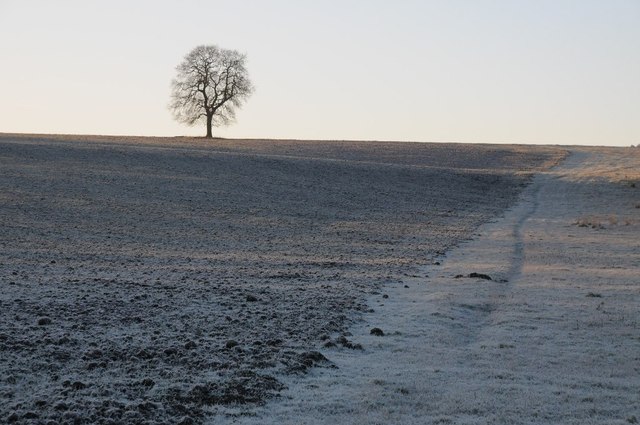
Covering an area of approximately 50 acres, Cottage Wood is predominantly composed of native broadleaf trees such as oak, ash, and beech. The wood boasts a rich biodiversity, with a variety of flora and fauna thriving within its boundaries. Bluebells carpet the forest floor in spring, creating a breathtaking sight for visitors.

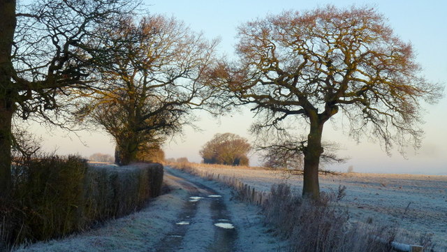
The wood is crisscrossed with a network of well-maintained footpaths, allowing visitors to explore its enchanting surroundings. Many of the trails lead to a small stream that runs through the wood, adding to its idyllic charm. Birdwatchers will be delighted by the abundance of avian species that can be spotted here, including woodpeckers, owls, and various songbirds.

Cottage Wood is a popular destination for outdoor enthusiasts and nature lovers alike. It offers a peaceful retreat away from the hustle and bustle of city life, making it an ideal spot for a leisurely stroll or a family picnic. The wood is managed by the local authorities, ensuring its preservation and the maintenance of its natural habitats.

Overall, Cottage Wood in Worcestershire is a hidden gem that showcases the beauty of the English countryside. Its serene ambiance, stunning landscapes, and diverse wildlife make it a must-visit destination for anyone seeking a peaceful retreat in nature.

If you have any feedback on the listing, please let us know in the comments section below.
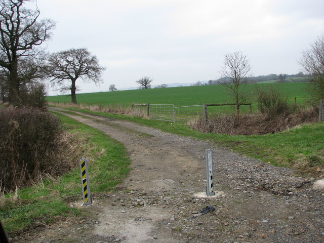
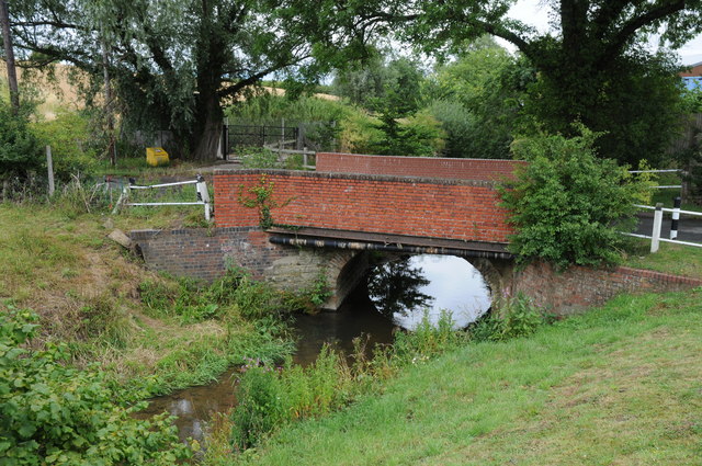
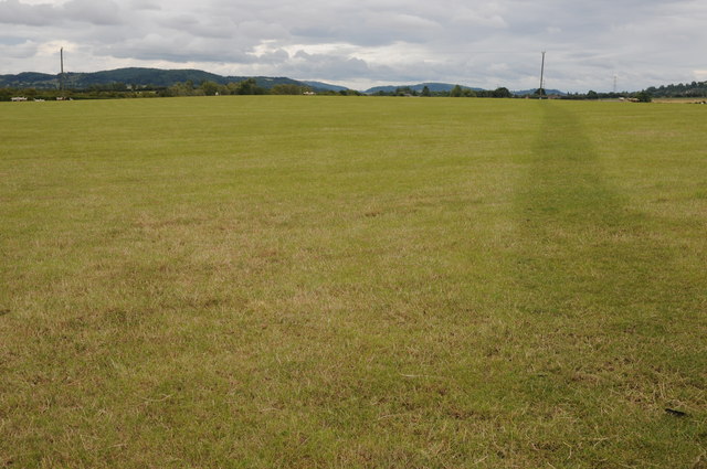
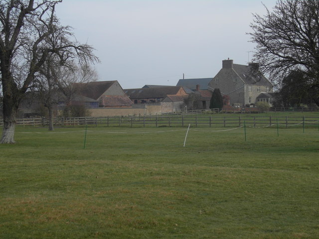
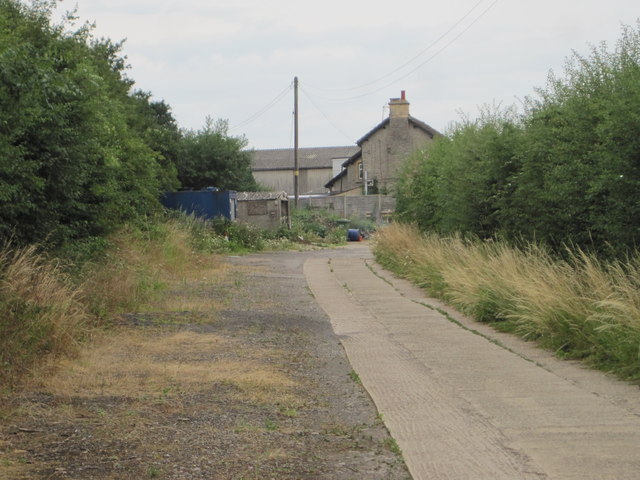
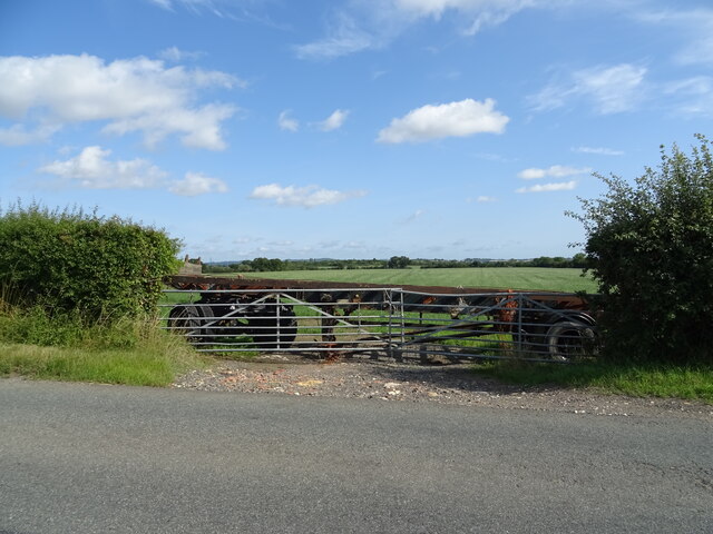
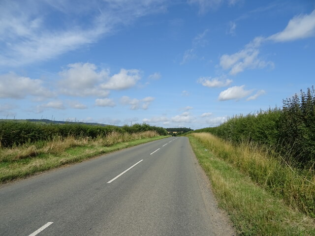
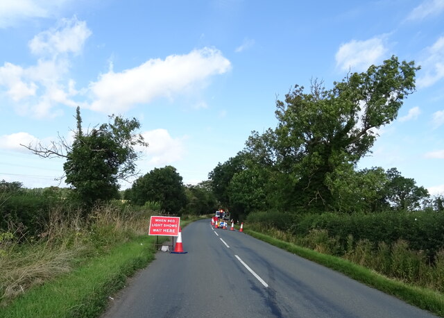
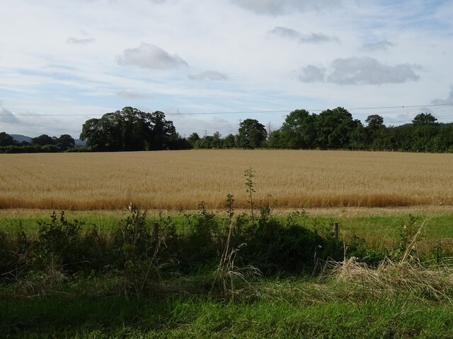
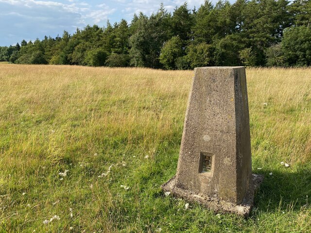
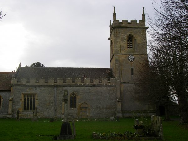
Cottage Wood Images

Images are sourced within 2km of 52.049381/-1.9874426 or Grid Reference SP0038. Thanks to Geograph Open Source API. All images are credited.

Track to Furzehill Farm
Bridge over the River Isbourne Bridge over the River Isbourne at Hinton in the Green.
Bridge over the River Isbourne
Bridge over the River Isbourne at Hinton in the Green.
Field beside Ballard's Farm A footpath to Ashton under Hill crosses this field beside Ballard's Farm to the west of Hinton in the Green.  On the horizon are a number of Cotswold outlier hills.
Field beside Ballard's Farm
A footpath to Ashton under Hill crosses this field beside Ballard's Farm to the west of Hinton in the Green. On the horizon are a number of Cotswold outlier hills.
Ballard's Farm
Ballard's Farm
Late winter on Ballard's Farm This isolated tree will soon be clothed in fresh greenery
Late winter on Ballard's Farm
This isolated tree will soon be clothed in fresh greenery
Pylon on Furze Hill The pylon dominates the east slope of Furze Hill one of the lower tops around Bredon Hill
Pylon on Furze Hill
The pylon dominates the east slope of Furze Hill one of the lower tops around Bredon Hill
Furzehill Farm farmhouse
Hinton Church from just upstream of Hinton Mill
Hinton railway station (site), Worcestershire Opened in 1864 by the Midland Railway on the "Gloucester Loop" line from Evesham to Gloucester, this station closed in 1963.
View along the approach road towards the forecourt. The railway ran left to right behind the building.
Hinton railway station (site), Worcestershire
Opened in 1864 by the Midland Railway on the "Gloucester Loop" line from Evesham to Gloucester, this station closed in 1963. View along the approach road towards the forecourt. The railway ran left to right behind the building.
The Salt Way A bridleway section north from the winding lane between Elmley Castle and Ashton.
These ancient routes centred upon Droitwich and radiate out to ports and centres of population, in this case to Lechlade where it could be transported to London on the Thames.
The Salt Way
A bridleway section north from the winding lane between Elmley Castle and Ashton. These ancient routes centred upon Droitwich and radiate out to ports and centres of population, in this case to Lechlade where it could be transported to London on the Thames.
Edge of Furzehill Brake Looking across frosty fields from the Elmley to Ashton road.
Edge of Furzehill Brake
Looking across frosty fields from the Elmley to Ashton road.
Tree in a frozen landscape A tree on the horizon in a frosted landscape near the hamlet of Kersoe.
Tree in a frozen landscape
A tree on the horizon in a frosted landscape near the hamlet of Kersoe.
Blocked field entrance off National Cycle Route 41 Blocked by an old trailer.
Blocked field entrance off National Cycle Route 41
Blocked by an old trailer.
National Cycle Route 41 Towards Elmley Castle.
National Cycle Route 41
Towards Elmley Castle.
Roadworks on National Cycle Route 41 Towards Elmley Castle.
Roadworks on National Cycle Route 41
Towards Elmley Castle.
Cereal crop off National Cycle Route 41
Corn Mill Bank, Hinton on the Green The footpath goes between the former mill and the white trailer.
Corn Mill Bank, Hinton on the Green
The footpath goes between the former mill and the white trailer.
Holcomb Nap Trig Point Flush Bracket S3790
Show me another place!

Cottage Wood is located at Grid Ref: SP0038 (Lat: 52.049381, Lng: -1.9874426)

Administrative County: Worcestershire

District: Wychavon

Police Authority: West Mercia

What 3 Words

///astounded.wink.resold. Near Evesham, Worcestershire

Nearby Locations

Cottage Wood

Related Wikis

Ashton-under-Hill railway station

Ashton-under-Hill railway station was a station on the Midland Railway between Great Malvern and Evesham. It served Ashton under Hill in Worcestershire...

Sedgeberrow

Sedgeberrow is a village and civil parish in the Wychavon district of Worcestershire, England, about 3 miles (4.8 km) south of Evesham. It stands beside...

Hinton railway station (England)

Hinton railway station was a station on the Midland Railway between Tewkesbury and Evesham, England. It opened 1 October 1864 by the Midland Railway. The...

Ashton under Hill

Ashton under Hill is a village and civil parish in the Wychavon district of Worcestershire in England. It is situated at the foot of Bredon Hill. According...

Kersoe

Kersoe is a hamlet in Worcestershire, England. It is at the foot of Bredon Hill an area of outstanding natural beauty.

Hinton on the Green

Hinton on the Green is a village and civil parish in the Wychavon district of Worcestershire in England. It is situated at the foot of Bredon Hill, about...

Grafton, Worcestershire

Grafton is a hamlet in Worcestershire, England, situated between the villages of Beckford and Ashton under Hill, south-east of Bredon Hill. The name Grafton...

Dumbleton

Dumbleton is a village and civil parish in the Tewkesbury district, in the county of Gloucestershire, England. The village is roughly 20 miles from the...

Nearby Amenities

Located within 500m of 52.049381,-1.9874426
Ele: 61
Ele Ft: 200
Natural: peak
Lat/Long: 52.0504009/-1.981395
Power: tower
Source: bing
Lat/Long: 52.0491568/-1.9926296
Power: tower
Source: bing
Lat/Long: 52.0521656/-1.9914611
Power: pole
Lat/Long: 52.045609/-1.9896029
Power: pole
Lat/Long: 52.0464033/-1.9891042
Power: pole
Lat/Long: 52.0465491/-1.9826515
Power: pole
Lat/Long: 52.0466881/-1.9840159
Power: pole
Lat/Long: 52.0468386/-1.9852762
Power: pole
Lat/Long: 52.0469726/-1.9865183
Power: pole
Lat/Long: 52.0471216/-1.9876674
Power: pole
Lat/Long: 52.0472196/-1.9885948
Power: pole
Lat/Long: 52.0479276/-1.9881152
Power: pole
Lat/Long: 52.0484991/-1.987741
Power: pole
Lat/Long: 52.0490595/-1.9873787
Power: pole
Lat/Long: 52.0496463/-1.9869877
Power: pole
Lat/Long: 52.0504085/-1.9863564
Fixme: Does a public footpath run north and south from here?
Note: Definitive Statement and hisotric OS 1:25k suggest Sedgeberrow FP 2 starts here, and FP 3 ends here.
Lat/Long: 52.0521479/-1.9926816
Sandfield Lane Farm
Power: pole
Transformer: distribution
Voltage Primary: 11000
Lat/Long: 52.0516575/-1.9876973
Power: pole
Lat/Long: 52.0513895/-1.9866532
Sandfield Lane Nurseries
Location Transition: yes
Power: pole
Transformer: distribution
Voltage Primary: 11000
Lat/Long: 52.0511726/-1.9857198
Sandfield Lane
Power: pole
Transformer: distribution
Voltage Primary: 11000
Lat/Long: 52.0494076/-1.9855729
Power: pole
Lat/Long: 52.0492881/-1.9862066
Sandfield Lane Glasshouses
Power: pole
Transformer: distribution
Voltage Primary: 11000
Lat/Long: 52.046888/-1.9857654
The data included in this document is from www.openstreetmap.org. The data is made available under ODbL.

Have you been to Cottage Wood?

Leave your review of Cottage Wood below (or comments, questions and feedback).