Chesterton Plantation
Wood, Forest in Gloucestershire Cotswold
England
Chesterton Plantation

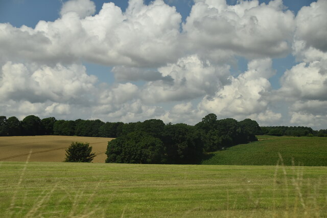
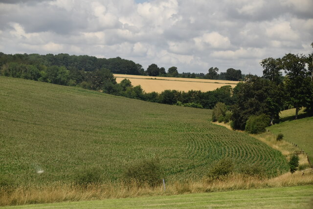
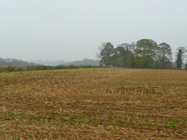
Chesterton Plantation is a historic woodland located in Gloucestershire, England. Spanning over a vast area, it is one of the largest and most notable plantations in the region. The plantation is situated in the heart of the Forest of Dean, a famous ancient woodland known for its rich biodiversity and scenic beauty.
The woodland in Chesterton Plantation primarily consists of a mixture of deciduous and coniferous trees, creating a diverse and enchanting landscape. Oak, beech, and ash trees dominate the area, providing a dense canopy that shelters a wide variety of flora and fauna. The Forest of Dean is known for its thriving wildlife, including deer, foxes, badgers, and an array of bird species.
The plantation has a long and fascinating history, dating back several centuries. It was originally established as a hunting ground for the local nobility and later became an important source of timber for shipbuilding during the medieval period. The woodland has witnessed significant changes over time, with sections being replanted and managed to ensure sustainability and conservation.
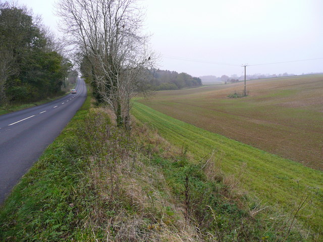
Today, Chesterton Plantation serves as a popular destination for nature enthusiasts, hikers, and those seeking a tranquil escape. The woodland offers a network of well-maintained footpaths and trails, allowing visitors to explore its picturesque surroundings. It is also home to several picnic areas and viewpoints, providing ample opportunities to enjoy the breathtaking scenery.
Chesterton Plantation in Gloucestershire is not only a place of natural beauty but also an important historical and ecological landmark, attracting visitors from near and far.
If you have any feedback on the listing, please let us know in the comments section below.
Chesterton Plantation Images
Images are sourced within 2km of 51.696443/-1.9876976 or Grid Reference SU0099. Thanks to Geograph Open Source API. All images are credited.


Chesterton Plantation is located at Grid Ref: SU0099 (Lat: 51.696443, Lng: -1.9876976)
Administrative County: Gloucestershire
District: Cotswold
Police Authority: Gloucestershire
What 3 Words
///sprinter.firepower.debater. Near Cirencester, Gloucestershire
Nearby Locations
Related Wikis

Park Leaze Halt railway station
Park Leaze Halt railway station was one of two intermediate halts on the Cirencester branch line from Kemble, Gloucestershire, England. It was one of the...
Cirencester Deer Park School
Cirencester Deer Park School is a secondary school Park. == History == Founded in 1966, the school combined Cirencester Grammar School with the town's...
Cirencester College
Cirencester College is a sixth form college based in the town of Cirencester in the South Cotswolds. It is a specialist sixth form provider serving communities...
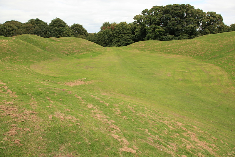
Cirencester Amphitheatre
Cirencester Amphitheatre was a Roman amphitheatre in Cirencester, Gloucestershire, England. Its remains are scheduled as an ancient monument.Archaeological...
Chesterton Lane Halt railway station
Chesterton Lane Halt railway station was one of two intermediate halts on the Cirencester branch line from Kemble, Gloucestershire, England. It was only...
Querns area, Cirencester
The Querns is an area of Cirencester, an ancient market town in the Cotswold hills of England. Its principal feature is Cirencester Amphitheatre, an impressive...

Corinium Museum
The Corinium Museum, in the Cotswold town of Cirencester in England, has a large collection of objects found in and around the locality. The bulk of the...

A419 road
The A419 road is a primary route between Chiseldon near Swindon at junction 15 of the M4 with the A346 road, and Whitminster in Gloucestershire, England...
Have you been to Chesterton Plantation?
Leave your review of Chesterton Plantation below (or comments, questions and feedback).