Ash Plantation
Wood, Forest in Wiltshire Cotswold
England
Ash Plantation
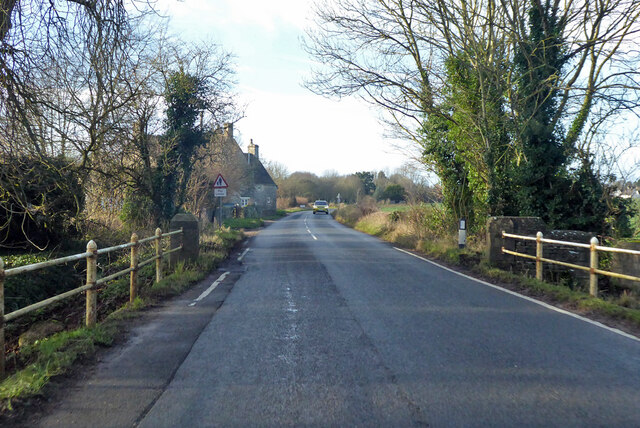
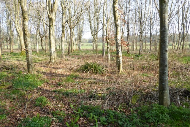
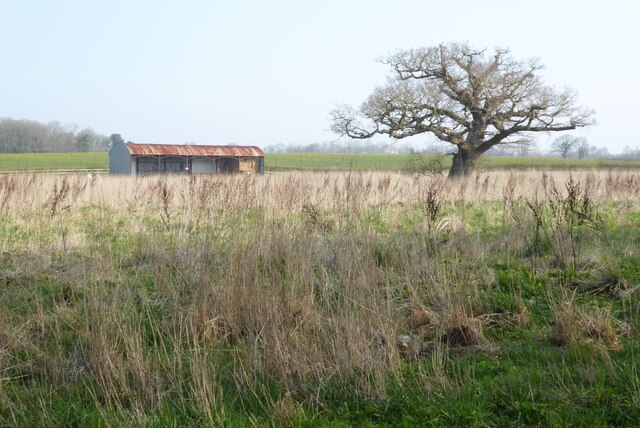
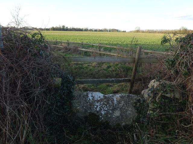
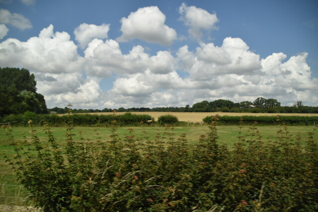
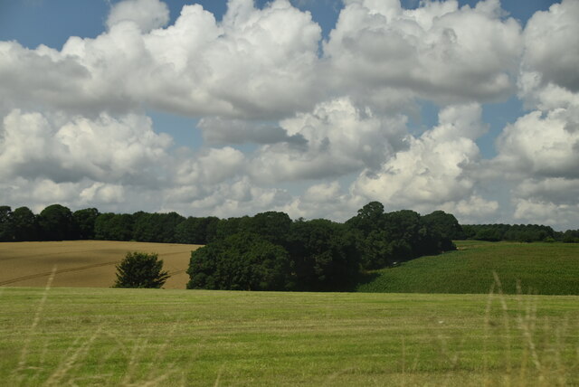
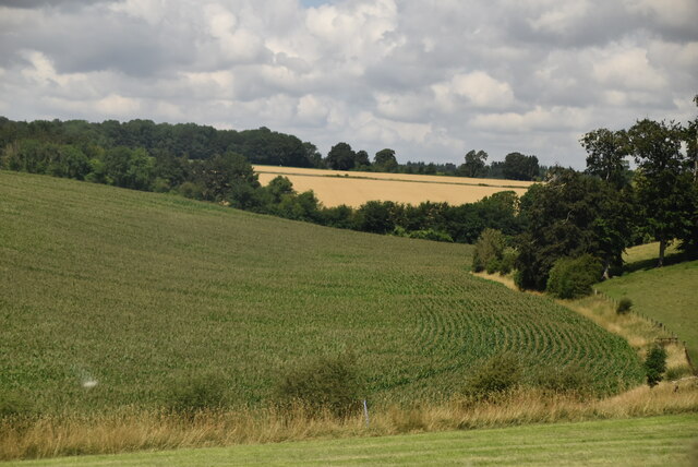
Ash Plantation is a picturesque woodland located in the county of Wiltshire, England. Covering an area of approximately 200 acres, it is known for its thriving ash tree population, which gives the plantation its name. The site is situated in a rural area, surrounded by rolling hills and fields, creating a tranquil and idyllic setting.
The woodland is home to a diverse range of plant and animal species, making it a haven for nature enthusiasts and wildlife lovers. The ash trees, with their distinctive diamond-shaped leaves and tall, slender trunks, dominate the landscape, providing a dense canopy that filters the sunlight and creates a cool, shady environment beneath.
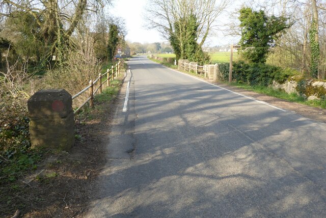
Visitors to Ash Plantation can explore a network of well-maintained footpaths that wind their way through the woodland, providing opportunities for leisurely walks, jogging, and cycling. The pathways are clearly marked, ensuring easy navigation and accessibility for all visitors.
In addition to its natural beauty, Ash Plantation also serves as an important habitat for a variety of bird species, including woodpeckers, owls, and songbirds, making it a popular spot for birdwatching enthusiasts. The woodland is also home to small mammals such as squirrels and rabbits, as well as a range of insects and butterflies.
Ash Plantation is managed by the local authorities, who strive to maintain its ecological balance and preserve its natural heritage. Conservation efforts include sustainable forestry practices, ensuring the long-term health and sustainability of the woodland ecosystem.
Overall, Ash Plantation offers a peaceful retreat for those seeking solace in nature, with its lush greenery, diverse wildlife, and well-maintained trails providing a harmonious escape from the hustle and bustle of everyday life.
If you have any feedback on the listing, please let us know in the comments section below.
Ash Plantation Images
Images are sourced within 2km of 51.6864/-1.9878883 or Grid Reference SU0098. Thanks to Geograph Open Source API. All images are credited.


Ash Plantation is located at Grid Ref: SU0098 (Lat: 51.6864, Lng: -1.9878883)
Administrative County: Gloucestershire
District: Cotswold
Police Authority: Gloucestershire
What 3 Words
///likening.package.evaporate. Near Cirencester, Gloucestershire
Nearby Locations
Related Wikis

Park Leaze Halt railway station
Park Leaze Halt railway station was one of two intermediate halts on the Cirencester branch line from Kemble, Gloucestershire, England. It was one of the...

Kemble, Gloucestershire
Kemble is a village in the civil parish of Kemble and Ewen, in the Cotswold district of Gloucestershire, England. Historically part of Wiltshire, it lies...

All Saints Church, Shorncote
All Saints Church is a historic Anglican church in Shorncote, Gloucestershire, England under the care of The Churches Conservation Trust. It is recorded...

Kemble railway station
Kemble railway station is a railway station that serves the village of Kemble in Gloucestershire, England. The station is on the Swindon to Gloucester...
Kemble Railway Cuttings
Kemble Railway Cuttings (ST975976 & ST985973 & ST982989) is a 2.72-hectare (6.7-acre) geological Site of Special Scientific Interest in Gloucestershire...

Tetbury Road railway station
Tetbury Road railway station was built by the Cheltenham & Great Western Union Railway to serve the Gloucestershire villages of Kemble and Coates, and...

Siddington, Gloucestershire
Siddington is a village and civil parish in Gloucestershire, England. It is located immediately south of Cirencester. At the 2011 United Kingdom Census...
Chesterton Lane Halt railway station
Chesterton Lane Halt railway station was one of two intermediate halts on the Cirencester branch line from Kemble, Gloucestershire, England. It was only...
Nearby Amenities
Located within 500m of 51.6864,-1.9878883Have you been to Ash Plantation?
Leave your review of Ash Plantation below (or comments, questions and feedback).