Cott Plantation

Wood, Forest in Gloucestershire Cotswold

England

Cott Plantation

Woods east of Colesbourne
Woods east of Colesbourne Credit: Dani

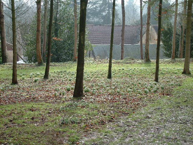
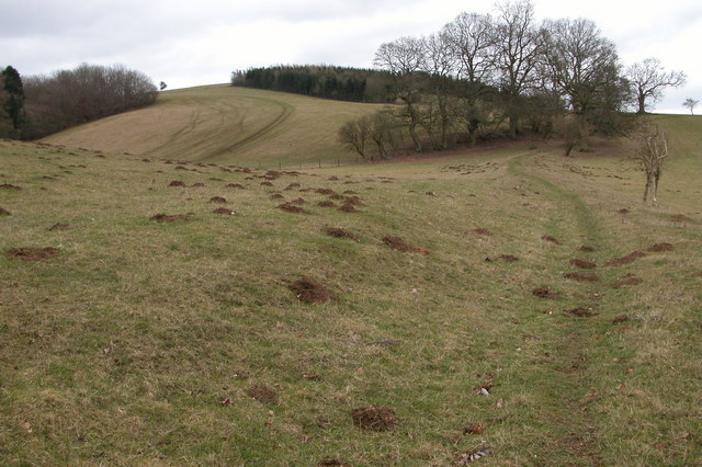
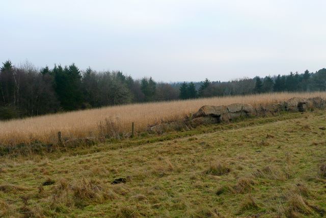
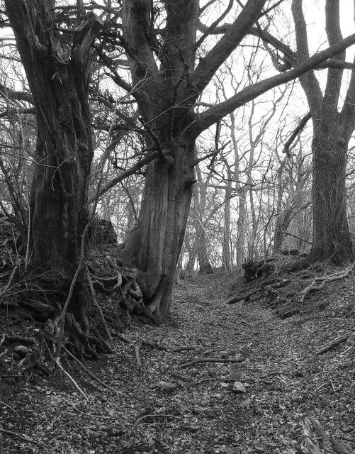
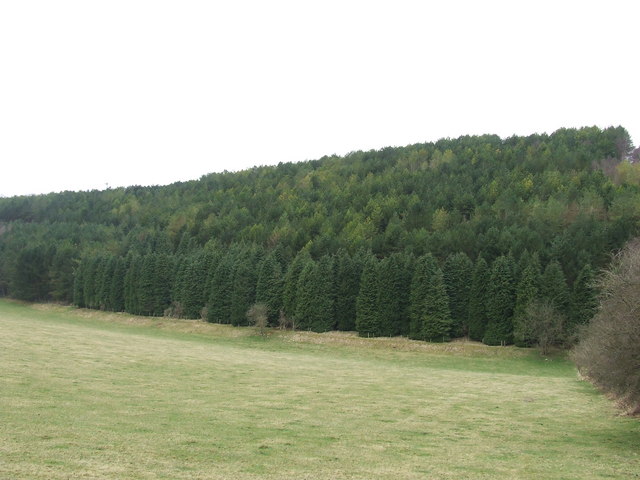
Cott Plantation is a picturesque wood located in the county of Gloucestershire, England. Nestled within the enchanting Forest of Dean, this plantation spans over an area of approximately 50 acres, offering visitors a tranquil and immersive experience in nature.

The woodland boasts a diverse range of tree species, including oak, beech, ash, and pine, which contribute to its thriving ecosystem. The dense foliage creates a shaded canopy, providing a serene ambiance and shelter for various wildlife species. Visitors frequently encounter native birds such as woodpeckers, owls, and songbirds, adding to the area's natural charm.

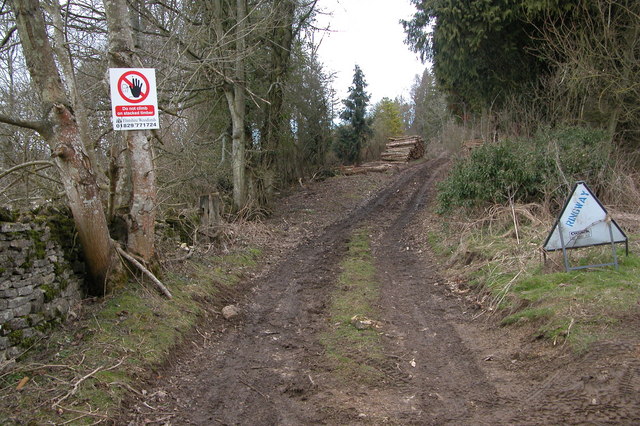
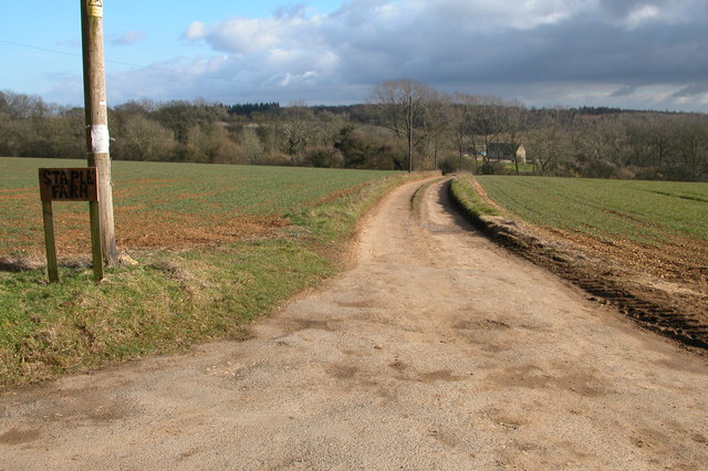
Cott Plantation is crisscrossed with well-maintained trails, allowing visitors to explore the wood at their leisure. These paths wind through the plantation, offering glimpses of beautiful flora and fauna along the way. The wood is particularly renowned for its vibrant bluebell displays in the spring, attracting nature enthusiasts and photographers alike.

The plantation is managed by the Forestry Commission, ensuring the preservation and sustainable use of the woodland. It serves as an important recreational space for locals and tourists, providing opportunities for walking, picnicking, and wildlife observation. The commission also organizes educational programs and guided tours, allowing visitors to learn about the rich natural heritage and conservation efforts in the area.

Overall, Cott Plantation offers a captivating escape into nature, where visitors can immerse themselves in the serene beauty of the Forest of Dean and enjoy the peaceful ambiance of this enchanting woodland.

If you have any feedback on the listing, please let us know in the comments section below.

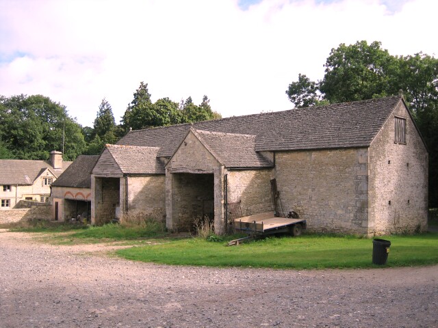
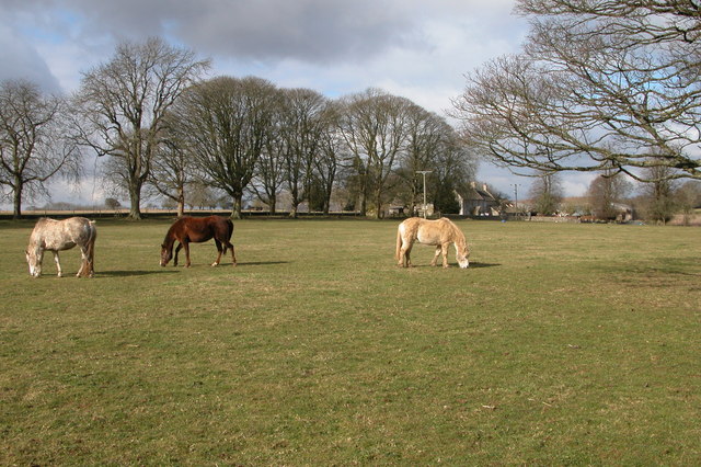
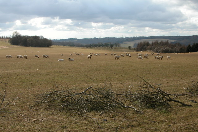
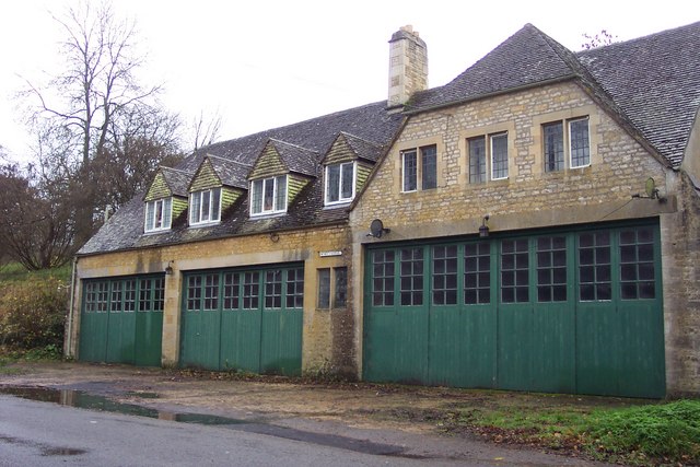
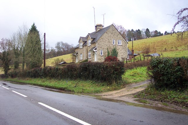
Cott Plantation Images

Images are sourced within 2km of 51.819028/-1.9892753 or Grid Reference SP0013. Thanks to Geograph Open Source API. All images are credited.

Woods east of Colesbourne
Colesbourne Manor Snowdrops in the woods behind Colesbourne Manor
Colesbourne Manor
Snowdrops in the woods behind Colesbourne Manor
Barn at Colesbourne A large barn to the east of the Cheltenham to Cirencester road in the village of Colesbourne
Barn at Colesbourne
A large barn to the east of the Cheltenham to Cirencester road in the village of Colesbourne
Farm Woodlands This farm is high on the Cotswolds to the south of Withington Woods.
Farm Woodlands
This farm is high on the Cotswolds to the south of Withington Woods.
Ridge and Furrow field, near Colesbourne Evidence of medieval farming practices on this field to the south-west of the farm at Woodlands.
Ridge and Furrow field, near Colesbourne
Evidence of medieval farming practices on this field to the south-west of the farm at Woodlands.
Sheep grazing near Colesbourne Today much of the Cotswolds is arable, here the land is used for the traditional use of sheep grazing. In Medieval times wool was a major export and the churches and manor houses of the Cotswolds reflect the wealth the wool trade created.
Sheep grazing near Colesbourne
Today much of the Cotswolds is arable, here the land is used for the traditional use of sheep grazing. In Medieval times wool was a major export and the churches and manor houses of the Cotswolds reflect the wealth the wool trade created.
Valley between Monkham Wood and Boy's Grove This valley is above Colesbourne. A bridleway can be seen as it crosses through the valley en-route between Colesbourne and Chedworth.
Valley between Monkham Wood and Boy's Grove
This valley is above Colesbourne. A bridleway can be seen as it crosses through the valley en-route between Colesbourne and Chedworth.
Colesbourne church Colesbourne church is dedicated to St James and is located in Colesbourne Park.
Colesbourne church
Colesbourne church is dedicated to St James and is located in Colesbourne Park.
Forestry work at Little Colesbourne Warning at the entrance to Barncombe Bottom of forestry activity in Little Colesbourne.
Forestry work at Little Colesbourne
Warning at the entrance to Barncombe Bottom of forestry activity in Little Colesbourne.
Driveway to Staple Farm, Colesbourne Driveway to Staple Farm Farm, high on the Cotswolds above Colesbourne.
Driveway to Staple Farm, Colesbourne
Driveway to Staple Farm Farm, high on the Cotswolds above Colesbourne.
Cottage at Hill Barn, Withington
Behind the gate of Bennett Farm, Law Offices. With a flash flood in progress.
Behind the gate of Bennett Farm, Law Offices.
With a flash flood in progress.
This building is called Memory Lodge. Situated by the A435 between Colesbourne and Rendcomb
This building is called Memory Lodge.
Situated by the A435 between Colesbourne and Rendcomb
Cottages near Marsden in the Cotswolds
Standing on the line The Two Degrees West line at this point is rather uninspiring.  Looking towards Penhill Plantation which covers most of the western half of the square.
Standing on the line
The Two Degrees West line at this point is rather uninspiring. Looking towards Penhill Plantation which covers most of the western half of the square.
Old Roman Road Now a bridleway but, once a roman road to Chedworth
Old Roman Road
Now a bridleway but, once a roman road to Chedworth
Gulf Plantation Forestry Commission experimental plantation planted 1966.
Gulf Plantation
Forestry Commission experimental plantation planted 1966.
Track in gulf Plantation
Show me another place!

Cott Plantation is located at Grid Ref: SP0013 (Lat: 51.819028, Lng: -1.9892753)

Administrative County: Gloucestershire

District: Cotswold

Police Authority: Gloucestershire

What 3 Words

///generals.registry.truckload. Near Charlton Kings, Gloucestershire

Related Wikis

Colesbourne

Colesbourne is a village and civil parish in the Cotswold district of Gloucestershire, England. The village and parish lies within the Cotswolds, a designated...

Cotswold Hills Geopark

A swathe of the Cotswold Hills almost 60 miles long has been proposed as the Cotswold Hills Geopark. The Geopark project offers educational resources on...

Withington, Gloucestershire

Withington is a Cotswold village and civil parish in Gloucestershire, England, about 7 miles (11 km) southeast of Cheltenham and 8 miles (13 km) north...

Cockleford Marsh

Cockleford Marsh (grid reference SO977133) is a 3.2-hectare (7.9-acre) biological Site of Special Scientific Interest in Gloucestershire, notified in 1991...

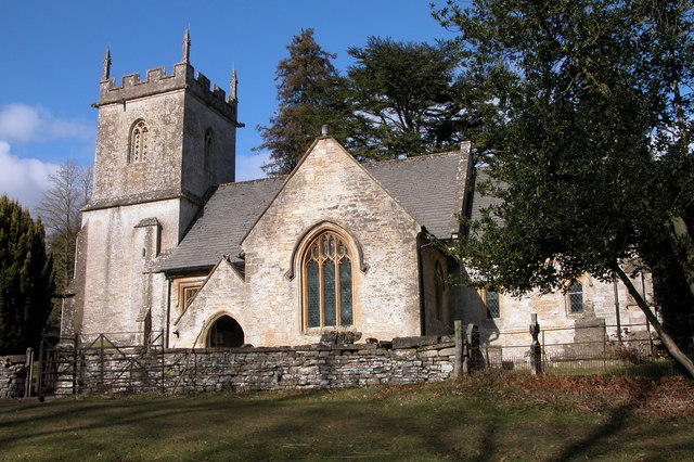
Church of St Michael, Withington

The Anglican Church of St Michael at Withington in the Cotswold District of Gloucestershire, England was built in the 12th century. It is a grade I listed...

RAF Chedworth

Royal Air Force Chedworth or more simply RAF Chedworth is a former Royal Air Force satellite station located near Chedworth, Gloucestershire, England....

Withington railway station (Gloucestershire)

Withington railway station was on the Midland and South Western Junction Railway serving the village of Withington in Gloucestershire. The station opened...

Rendcomb College

Rendcomb College is a public school (English private boarding and day school) for pupils aged 3–18, located in the village of Rendcomb five miles north...

Nearby Amenities

Located within 500m of 51.819028,-1.9892753
Bus Stop
Withington Turn
Bus: yes
Naptan AtcoCode: 1600GLC159
Naptan Bearing: SE
Naptan CommonName: Withington Turn
Naptan NaptanCode: glodwmpd
Naptan Street: A435
Naptan Verified: no
Public Transport: platform
Source: naptan_import
Lat/Long: 51.8169449/-1.9957096
Power: pole
Source: Bing
Lat/Long: 51.8209631/-1.9840703
Power: pole
Source: Bing
Lat/Long: 51.8166407/-1.9857897
Power: pole
Source: Bing
Lat/Long: 51.8217921/-1.9837163
Man Made: tower
Source: Bing
Lat/Long: 51.8172094/-1.9847732
The data included in this document is from www.openstreetmap.org. The data is made available under ODbL.

Have you been to Cott Plantation?

Leave your review of Cott Plantation below (or comments, questions and feedback).