Central Plantation

Wood, Forest in Northumberland

England

Central Plantation

Groove Well Until recently this well was not on a public right of way but this was remedied in 2017 and there is now a signpost to it 50 m away on the minor road.  The path incorporates a double stile and stone steps down to the well, which is only some 30 m from the River Wansbeck seen in the background.  See also
<a href="https://www.geograph.org.uk/photo/7000763">NY9984 : Groove Well</a>
Groove Well Credit: Leanmeanmo

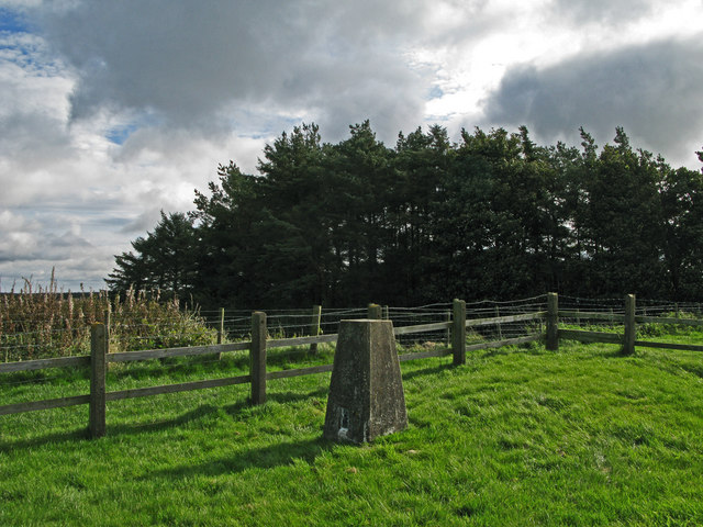
Central Plantation is a woodland located in Northumberland, a county in northeast England. Situated in the heart of the region, this forested area spans approximately 200 acres and is known for its diverse ecosystem and natural beauty.

The plantation is primarily composed of deciduous trees, including oak, beech, and birch, which provide a rich canopy during the summer months. These trees also attract a variety of bird species, making Central Plantation a popular spot for birdwatching enthusiasts. The forest floor is adorned with a carpet of wildflowers, adding to the picturesque scenery.

Traversing the plantation, visitors will find a network of well-maintained walking trails that meander through the woodland, offering opportunities for leisurely strolls and peaceful exploration. These paths are suitable for all ages and fitness levels, making Central Plantation a family-friendly destination.

In addition to its recreational value, Central Plantation also plays a crucial role in preserving the local ecosystem. The woodland acts as a buffer against soil erosion, provides a habitat for several endangered species, and contributes to the overall health and well-being of the surrounding environment.

The plantation is easily accessible, with ample parking facilities and nearby public transportation options. Visitors can also enjoy picnic areas and benches scattered throughout the woodland, providing an inviting space to relax and take in the natural surroundings.

Overall, Central Plantation in Northumberland is a cherished natural resource, offering a peaceful retreat for nature lovers and playing a vital role in conserving the region's biodiversity.

If you have any feedback on the listing, please let us know in the comments section below.

Central Plantation Images

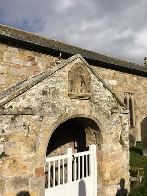
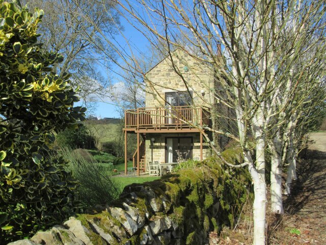
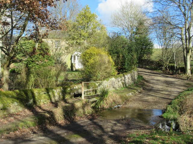
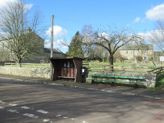
Images are sourced within 2km of 55.167297/-1.9936759 or Grid Reference NZ0085. Thanks to Geograph Open Source API. All images are credited.

Groove Well Until recently this well was not on a public right of way but this was remedied in 2017 and there is now a signpost to it 50 m away on the minor road.  The path incorporates a double stile and stone steps down to the well, which is only some 30 m from the River Wansbeck seen in the background.  See also
<a href="https://www.geograph.org.uk/photo/7000763">NY9984 : Groove Well</a>
Groove Well
Until recently this well was not on a public right of way but this was remedied in 2017 and there is now a signpost to it 50 m away on the minor road. The path incorporates a double stile and stone steps down to the well, which is only some 30 m from the River Wansbeck seen in the background. See also NY9984 : Groove Well
Groove Well Not very enticing.  The water was cloudy and smelled sulphurous.  I didn't taste it. See also
<a href="https://www.geograph.org.uk/photo/7000758">NY9984 : Groove Well</a>
Groove Well
Not very enticing. The water was cloudy and smelled sulphurous. I didn't taste it. See also NY9984 : Groove Well
Sundial on the porch of St. Bartholomew's Church A splendid example in good condition.  It is set into the surface at a slight angle, presumably so that it faces due south.  The inscription reads 'HORA PARS VITÆ' (An hour is a portion of life) and is dated 1764.

The graveyard is the last resting place of Sir Charles Algernon Parsons, inventor of the modern turbine.
Sundial on the porch of St. Bartholomew's Church
A splendid example in good condition. It is set into the surface at a slight angle, presumably so that it faces due south. The inscription reads 'HORA PARS VITÆ' (An hour is a portion of life) and is dated 1764. The graveyard is the last resting place of Sir Charles Algernon Parsons, inventor of the modern turbine.
House on the edge of Kirkwhelpington
Ford and Footbridge, Whitridge Sike
Bus Stop and Long Bench Seat Does this indicate a very long bus queue?
Bus Stop and Long Bench Seat
Does this indicate a very long bus queue?
Village Hall and Coal Deliveries Coal not for the Village Hall since there aren't any chimneys.
The Village hall also houses the Post Office.
Village Hall and Coal Deliveries
Coal not for the Village Hall since there aren't any chimneys. The Village hall also houses the Post Office.
Playing Space
Playing Space
St Bartholomew's Church, Kirkwhelpington St Bartholomew's church was built in the 13th century, but has been altered since, mainly in the 15th and 19th centuries. It is the parish church of Kirkwhelpington. St Bartholomew's church is a Grade II* Listed Building protected by law.
<span class="nowrap"><a title="https://keystothepast.info/search-records/results-of-search/results-of-search-2/site-details/?PRN=N9575" rel="nofollow ugc noopener" href="https://keystothepast.info/search-records/results-of-search/results-of-search-2/site-details/?PRN=N9575">Link</a><img style="margin-left:2px;" alt="External link" title="External link - shift click to open in new window" src="https://s1.geograph.org.uk/img/external.png" width="10" height="10"/></span>
St Bartholomew's Church, Kirkwhelpington
St Bartholomew's church was built in the 13th century, but has been altered since, mainly in the 15th and 19th centuries. It is the parish church of Kirkwhelpington. St Bartholomew's church is a Grade II* Listed Building protected by law. LinkExternal link
St Bartholomew, Tower and Porch, Kirkwhelpington The church is listed, Grade II star.
St Bartholomew, Tower and Porch, Kirkwhelpington
The church is listed, Grade II star.
Path through the churchyard, Kirkwhelpington Church
Grave slab on bulbous legs Unfortunately I can't remember whereabouts in the churchyard this is, but I think it is near the north-west corner. It is surrounded by a tall fence.
Grave slab on bulbous legs
Unfortunately I can't remember whereabouts in the churchyard this is, but I think it is near the north-west corner. It is surrounded by a tall fence.
Lane past the recreation ground, Kirkwhelpington The old 1:2500 map captions the field 'Recreation ground and shows a path around it like a running track.  Access from this lane is by step-stile. The address of the house in the background is 'The Green'. However, I took this photograph mainly because I liked the tree with the bright green leaves.
Lane past the recreation ground, Kirkwhelpington
The old 1:2500 map captions the field 'Recreation ground and shows a path around it like a running track. Access from this lane is by step-stile. The address of the house in the background is 'The Green'. However, I took this photograph mainly because I liked the tree with the bright green leaves.
The Church of St. Bartholomew, Kirkwhelpington
Bridge over the River Wansbeck, Kirkwhelpington
A very pretty garden
Trig point at Whitehill. The trig point known to the OS as Whitehill lies north-east of the farm at West Whitehill and sits beside a grass covered reservoir within a fenced enclosure.
Trig point at Whitehill.
The trig point known to the OS as Whitehill lies north-east of the farm at West Whitehill and sits beside a grass covered reservoir within a fenced enclosure.
Kirkwhelpington The Church of St. Bartholomew at Kirkwhelpington.
Kirkwhelpington
The Church of St. Bartholomew at Kirkwhelpington.
Show me another place!

Central Plantation is located at Grid Ref: NZ0085 (Lat: 55.167297, Lng: -1.9936759)

Unitary Authority: Northumberland

Police Authority: Northumbria

What 3 Words

///scoots.sweat.approvals. Near Rothley, Northumberland

Related Wikis

Northumberland

Northumberland ( nor-THUM-bər-lənd) is a ceremonial county in North East England, bordering Scotland. It is bordered by the Scottish Borders to the north...

Kirkwhelpington

Kirkwhelpington is a village and civil parish in the English county of Northumberland about 13 miles (21 km) northeast of Hexham. It is on the River Wansbeck...

Knowesgate railway station

Knowesgate was a stone-built railway station with goods sidings in Northumberland, England on the Wansbeck Railway between Morpeth and Reedsmouth, which...

Little Harle Tower

Little Harle Tower is a Grade II* listed privately owned country house with 15th-century origins, located at Little Harle, Kirkwhelpington, Northumberland...

Nearby Amenities

Located within 500m of 55.167297,-1.9936759
Crossing
Lat/Long: 55.1679238/-1.998665
The data included in this document is from www.openstreetmap.org. The data is made available under ODbL.

Have you been to Central Plantation?

Leave your review of Central Plantation below (or comments, questions and feedback).