Robin Wood

Wood, Forest in Derbyshire High Peak

England

Robin Wood

Accident damage near to Pear Tree Pub, Hadfield Damage to a car near to the Pear Tree Pub.
Accident damage near to Pear Tree Pub, Hadfield Credit: Paul Foster

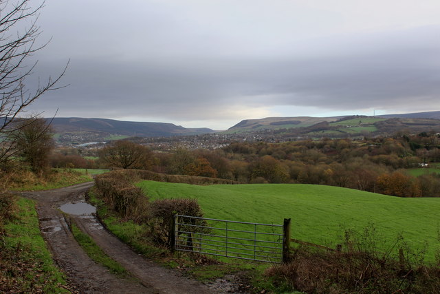
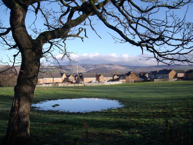
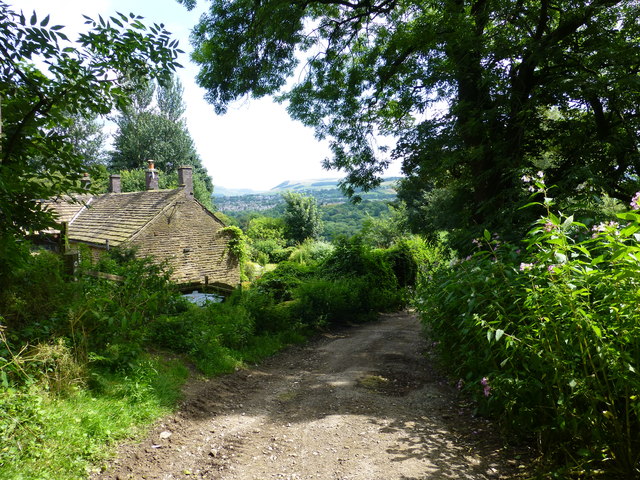
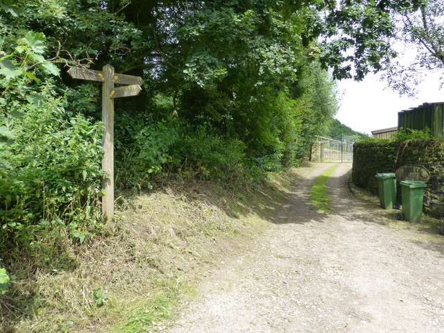
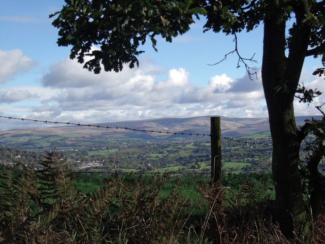
Robin Wood is a picturesque forest located in Derbyshire, England. It covers an extensive area of approximately 1,000 acres and is known for its natural beauty and diverse wildlife. The forest is situated near the village of Edale, within the Peak District National Park, making it a popular destination for nature enthusiasts and outdoor adventurers.

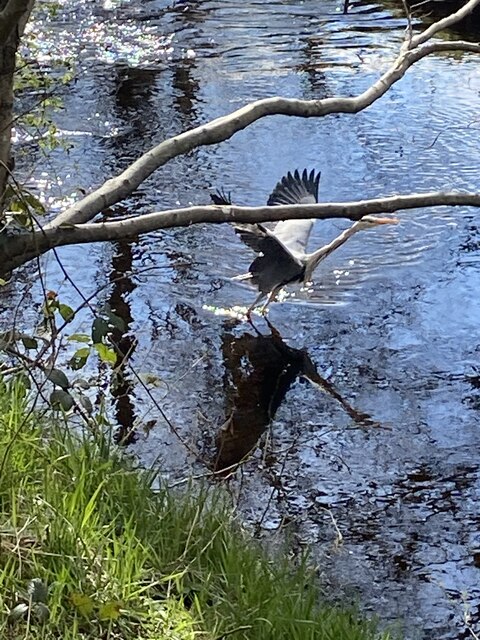
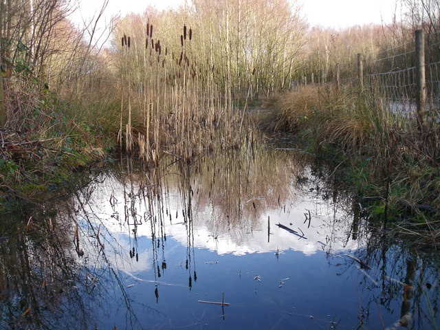
The woodland comprises mainly of oak, birch, and beech trees, creating a dense and enchanting canopy. It is home to a wide range of flora and fauna, including various species of birds, mammals, and insects. Visitors can spot elusive creatures such as red deer, foxes, badgers, and even bats. The forest floor is adorned with a variety of wildflowers, adding to its charm and allure.

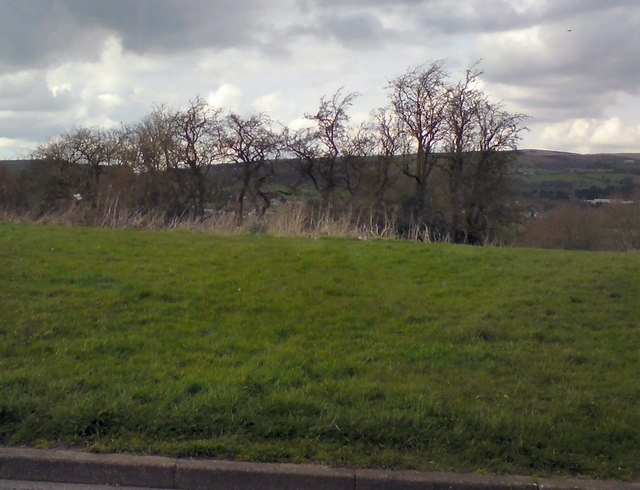
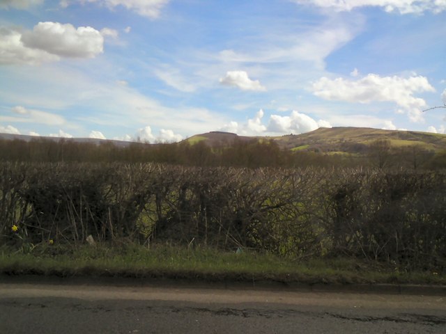
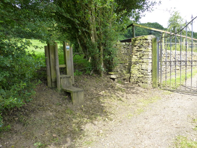
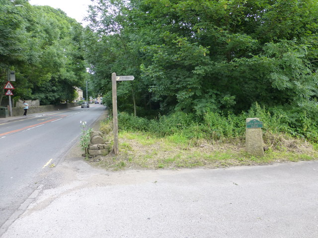
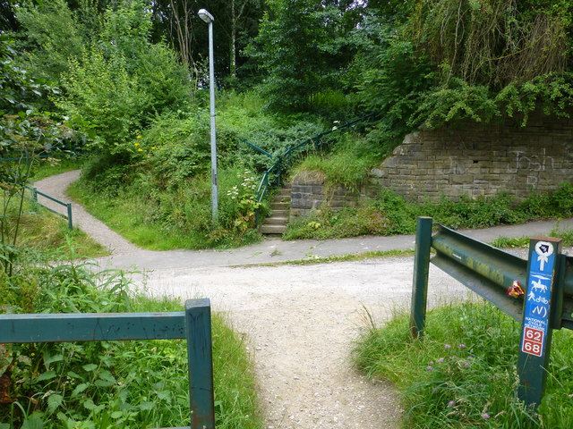
There are numerous walking trails and paths that weave through the forest, offering visitors the opportunity to explore its natural wonders. The area is particularly renowned for its scenic hikes, with routes catering to all abilities. One of the most popular trails is the Pennine Way, which passes through Robin Wood and offers breathtaking views of the surrounding countryside.

Additionally, Robin Wood is a great spot for camping and picnicking, with designated areas available for visitors to set up camp or enjoy a leisurely outdoor meal. The peaceful ambiance and tranquil setting make it an ideal retreat for those seeking an escape from the hustle and bustle of city life.

Overall, Robin Wood in Derbyshire is a captivating forest that provides a sanctuary for wildlife and a haven for nature enthusiasts. Its scenic beauty and abundant recreational opportunities make it a must-visit destination for anyone exploring the region.

If you have any feedback on the listing, please let us know in the comments section below.
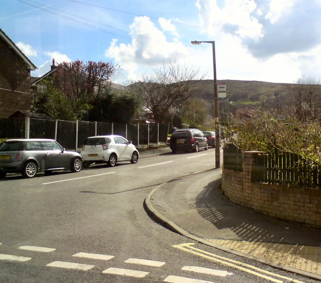
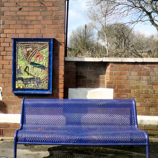
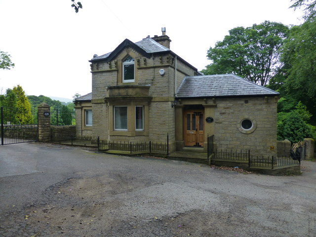
Robin Wood Images

Images are sourced within 2km of 53.44536/-1.9942701 or Grid Reference SK0094. Thanks to Geograph Open Source API. All images are credited.

Accident damage near to Pear Tree Pub, Hadfield Damage to a car near to the Pear Tree Pub.
Accident damage near to Pear Tree Pub, Hadfield
Damage to a car near to the Pear Tree Pub.
Graffiti in the old loco shed At Dinting Railway Museum, now closed.
Graffiti in the old loco shed
At Dinting Railway Museum, now closed.
Derelict railway station Dinting, Glossop
Derelict railway station
Dinting, Glossop
Heron, Etherow River Heron taking off from Etherow River
Heron, Etherow River
Heron taking off from Etherow River
View South East from Hague End Pleasing view over the Etherow Valley towards the distant Dark Peak
View South East from Hague End
Pleasing view over the Etherow Valley towards the distant Dark Peak
Simmondley, Glossop Relatively new houses at Simmondley on the outskirts of Glossop. Recent heavy rain has made the field in the foreground somewhat wet.
Simmondley, Glossop
Relatively new houses at Simmondley on the outskirts of Glossop. Recent heavy rain has made the field in the foreground somewhat wet.
Gamesley Woodlands (wildlife pond) Gamesley Woodlands runs alongside the Manchester to Glossop rail line, it was originally railway sidings which formed part of the Mottram and Dinting Marshalling Yard. When the sidings closed pioneer tree species appeared, recently a bridleway has been laid and this pond constructed for the benefit of the public.
Gamesley Woodlands (wildlife pond)
Gamesley Woodlands runs alongside the Manchester to Glossop rail line, it was originally railway sidings which formed part of the Mottram and Dinting Marshalling Yard. When the sidings closed pioneer tree species appeared, recently a bridleway has been laid and this pond constructed for the benefit of the public.
Trees at Gamesley Off Melandra Castle Road.
Trees at Gamesley
Off Melandra Castle Road.
View towards Hargate Hill and Coombes Edge From Glossop Road, Gamesley.
View towards Hargate Hill and Coombes Edge
From Glossop Road, Gamesley.
Werneth Road, Simmondley Off Pennine Road.
Werneth Road, Simmondley
Off Pennine Road.
Mural and bench at Dinting Above the bench at Dinting Station is one of five murals created in 2014 by Glossop ceramicist Adrian Holt <span class="nowrap"><a title="http://www.adrianholt.com/" rel="nofollow ugc noopener" href="http://www.adrianholt.com/">Link</a><img style="margin-left:2px;" alt="External link" title="External link - shift click to open in new window" src="https://s1.geograph.org.uk/img/external.png" width="10" height="10"/></span> and members of Project Earth <span class="nowrap"><a title="http://www.highpeakarts.org/project-earth-2/" rel="nofollow ugc noopener" href="http://www.highpeakarts.org/project-earth-2/">Link</a><img style="margin-left:2px;" alt="External link" title="External link - shift click to open in new window" src="https://s1.geograph.org.uk/img/external.png" width="10" height="10"/></span> at High Peak Community Arts.
Mural and bench at Dinting
Above the bench at Dinting Station is one of five murals created in 2014 by Glossop ceramicist Adrian Holt LinkExternal link and members of Project Earth LinkExternal link at High Peak Community Arts.
Holly Grove Lodge at Hollingworth
Hidden signpost near Pear Tree Farm The marker for the Etherow Goyt Valley Trail is on the left leading up stone steps. a large fingerpost is out of view marked Valley Way. The area is also marked on the map as The Hague, the manor house of this name is half a mile away.
Hidden signpost near Pear Tree Farm
The marker for the Etherow Goyt Valley Trail is on the left leading up stone steps. a large fingerpost is out of view marked Valley Way. The area is also marked on the map as The Hague, the manor house of this name is half a mile away.
Fingerpost at The Hague The way straight on towards the gate leads onto the path towards Woolley Bridge.
Fingerpost at The Hague
The way straight on towards the gate leads onto the path towards Woolley Bridge.
Parting of the ways at Pear Tree Farm The stole on the left leads onto the path for Mottram .The hidden unmarked bridleway for Woolley Bridge is beside the stone pillar next to the gate for Pear Tree Farm.
Parting of the ways at Pear Tree Farm
The stole on the left leads onto the path for Mottram .The hidden unmarked bridleway for Woolley Bridge is beside the stone pillar next to the gate for Pear Tree Farm.
Fingerpost for Mottram and The Hague at Woolley Bridge
Bridge abutment for the Waterside Branch railway The dismantled trackbed is partly used by the Pennine Bridleway. This bridge carried the line over Cottage Lane
Bridge abutment for the Waterside Branch railway
The dismantled trackbed is partly used by the Pennine Bridleway. This bridge carried the line over Cottage Lane
View from Beacon Lane View from Beacon Lane looking over the River Etherow valley with the hills of the Dark Peak in the distance.
View from Beacon Lane
View from Beacon Lane looking over the River Etherow valley with the hills of the Dark Peak in the distance.
Show me another place!

Robin Wood is located at Grid Ref: SK0094 (Lat: 53.44536, Lng: -1.9942701)

Administrative County: Derbyshire

District: High Peak

Police Authority: Derbyshire

What 3 Words

///tasks.escapes.fishery. Near Hollingworth, Manchester

Nearby Locations

Lower Gamesley Robin Wood

Related Wikis

Gamesley

Gamesley is a residential area within the Borough of High Peak in Derbyshire, England, west of Glossop and close to the River Etherow which forms the...

Ardotalia

Ardotalia (also known as Melandra, or Melandra Castle) is a Roman fort in Gamesley, near Glossop in Derbyshire, England. Ardotalia was constructed by Cohors...

Broadbottom Viaduct

Broadbottom Viaduct (also known as Etherow or Mottram Viaduct) is a railway viaduct that spans the River Etherow between Derbyshire and Greater Manchester...

Dinting Vale

Dinting Vale is a village in Glossopdale, Derbyshire, England. The Vale falls within the Simmondley ward of the High Peak Council. Dinting Vale lies near...

Charlesworth, Derbyshire

Charlesworth is a village and civil parish near Glossop, Derbyshire, England. The population of the civil parish at the 2011 Census was 2,449. It is 2...

St Michael and All Angels Church, Mottram

St Michael and All Angels Church stands on Warhill overlooking the village of Mottram in Longdendale, Greater Manchester, England. The church is recorded...

Dinting Viaduct

Dinting Viaduct (also known as Dinting Arches) is a 19th-century railway viaduct in Glossopdale in Derbyshire, England, that carries the Glossop Line over...

Broadbottom railway station

Broadbottom railway station serves the village of Broadbottom in Greater Manchester, England. It is on the Manchester-Glossop Line, 10 miles (16 km) east...

Nearby Amenities

Located within 500m of 53.44536,-1.9942701
Disused Shop: yes
Lat/Long: 53.4456696/-1.9909139
Barrier: stile
Bicycle: no
Foot: yes
Horse: no
Material: wood
Motor Vehicle: no
Stile: stepover
Lat/Long: 53.4497193/-1.9945731
Barrier: stile
Steps: 1
Stile: stepover
Lat/Long: 53.4430359/-1.990434
Bench
Lat/Long: 53.4417089/-1.9963161
Bench
Lat/Long: 53.4424358/-1.990898
Generator Method: photovoltaic
Generator Output Electricity: yes
Generator Source: solar
Generator Type: solar_photovoltaic_panel
Location: roof
Power: generator
Lat/Long: 53.447211/-1.9876677
Generator Method: photovoltaic
Generator Output Electricity: yes
Generator Source: solar
Generator Type: solar_photovoltaic_panel
Location: roof
Power: generator
Lat/Long: 53.4467941/-1.9893146
Generator Method: photovoltaic
Generator Output Electricity: yes
Generator Source: solar
Generator Type: solar_photovoltaic_panel
Location: roof
Power: generator
Lat/Long: 53.4466343/-1.988577
Generator Method: photovoltaic
Generator Output Electricity: yes
Generator Source: solar
Generator Type: solar_photovoltaic_panel
Location: roof
Power: generator
Lat/Long: 53.446572/-1.9884161
Generator Method: photovoltaic
Generator Output Electricity: yes
Generator Source: solar
Generator Type: solar_photovoltaic_panel
Location: roof
Power: generator
Lat/Long: 53.4460161/-1.9890625
Generator Method: photovoltaic
Generator Output Electricity: yes
Generator Source: solar
Generator Type: solar_photovoltaic_panel
Location: roof
Power: generator
Lat/Long: 53.4444298/-1.9896418
Generator Method: photovoltaic
Generator Output Electricity: yes
Generator Source: solar
Generator Type: solar_photovoltaic_panel
Location: roof
Power: generator
Lat/Long: 53.4443787/-1.9893763
Generator Method: photovoltaic
Generator Output Electricity: yes
Generator Source: solar
Generator Type: solar_photovoltaic_panel
Location: roof
Power: generator
Lat/Long: 53.4444186/-1.989387
Generator Method: photovoltaic
Generator Output Electricity: yes
Generator Source: solar
Generator Type: solar_photovoltaic_panel
Location: roof
Power: generator
Lat/Long: 53.4453467/-1.9879494
Generator Method: photovoltaic
Generator Output Electricity: yes
Generator Source: solar
Generator Type: solar_photovoltaic_panel
Location: roof
Power: generator
Lat/Long: 53.4451087/-1.9884536
One Stop
Addr City: Glossop
Addr Postcode: SK13 6UQ
Addr Street: Melandra Castle Road
Brand: One Stop
Brand Wikidata: Q65954217
Contact Website: https://www.onestop.co.uk/store/?store=2f24add8-cf3f-4e23-a997-e67804b92bdb
Opening Hours: 7:00-22:00
Phone: +44 1457 237528
Shop: convenience
Lat/Long: 53.4455378/-1.9908848
Bus Stop
Gamesley, Melandra Castle Road / adjacent Hollins Lane
Bus: yes
Naptan AtcoCode: 1000DGMCR937
Naptan NaptanCode: dbsgtjat
Network: Derbyshire County Council
Operator: Derbyshire County Council
Public Transport: platform
Lat/Long: 53.4486674/-1.9892921
Bus Stop
Gamesley, Melandra Castle Road / adjacent The Centurion
Bench: yes
Bin: yes
Bus: yes
Lit: yes
Naptan AtcoCode: 1000DGMC3419
Naptan NaptanCode: dbsgamgj
Network: Derbyshire County Council
Operator: Derbyshire County Council
Public Transport: platform
Shelter: yes
Tactile Paving: no
Lat/Long: 53.445479/-1.9910595
Bus Stop
Gamesley, Glossop Road / adjacent Railway Bridge
Bus: yes
Naptan AtcoCode: 1000DGGR3477
Naptan NaptanCode: dbsgtgpd
Network: Derbyshire County Council
Operator: Derbyshire County Council
Public Transport: platform
Lat/Long: 53.4433256/-1.9875486
The data included in this document is from www.openstreetmap.org. The data is made available under ODbL.

Have you been to Robin Wood?

Leave your review of Robin Wood below (or comments, questions and feedback).