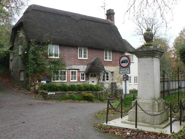
Fifield Ashes
Wood, Forest in Wiltshire
England
Fifield Ashes

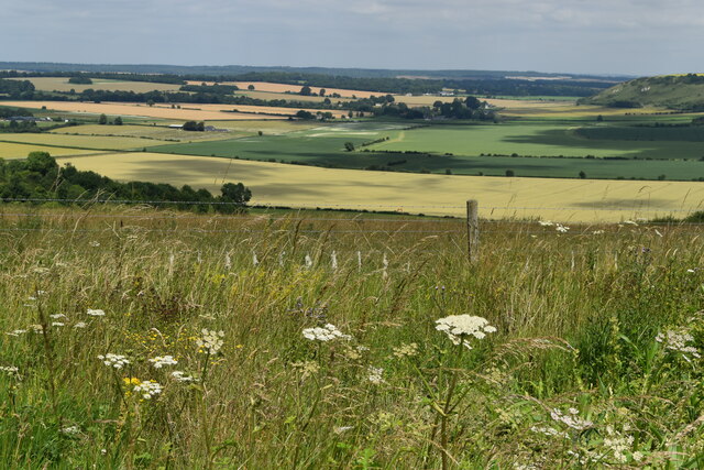
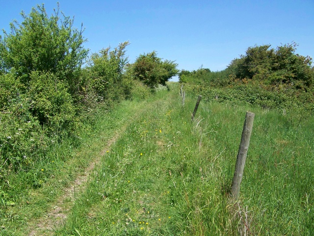
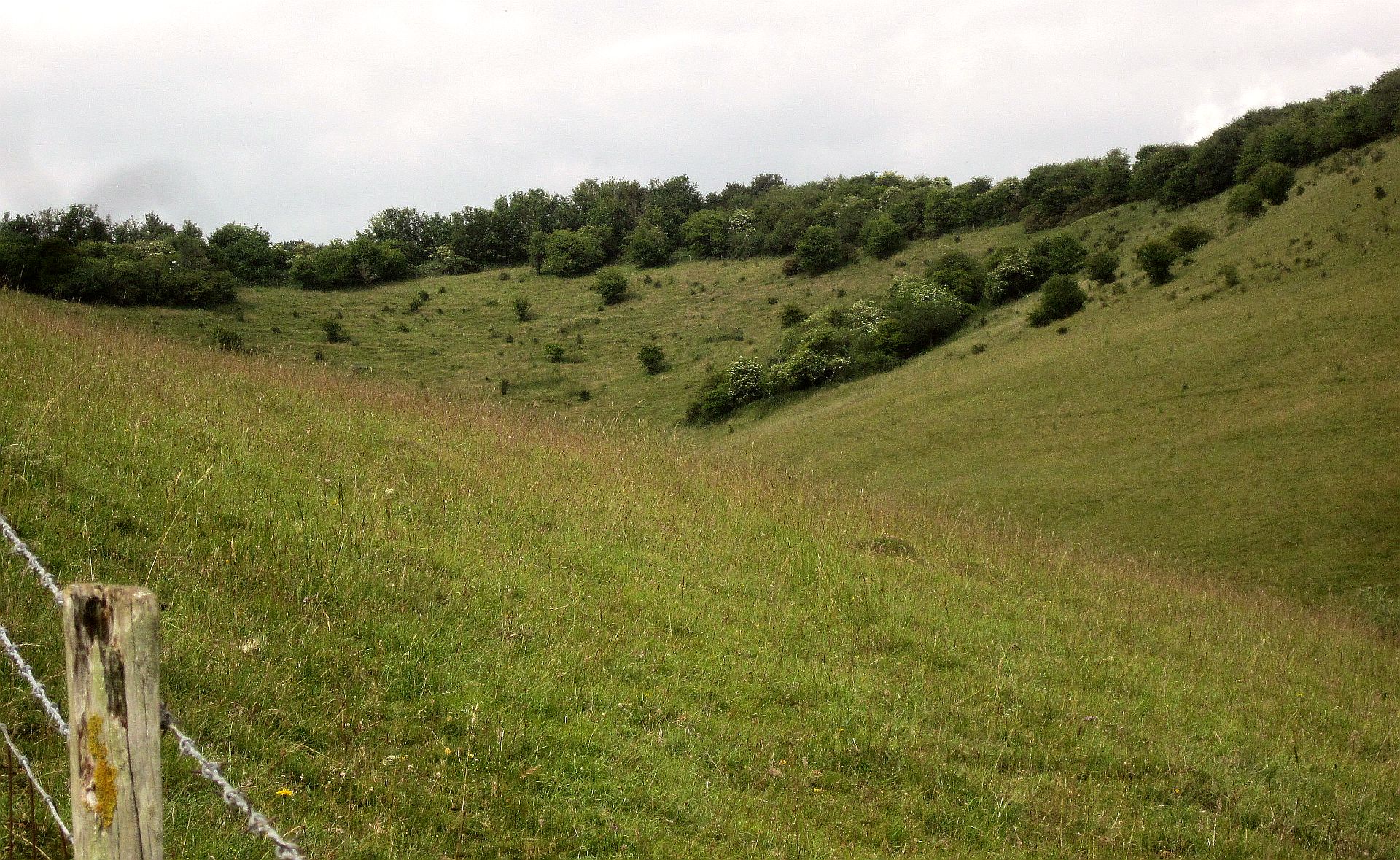
Fifield Ashes is a picturesque wood located in the county of Wiltshire, England. Situated within the larger Forest of Dean, this woodland area spans approximately 200 acres and is renowned for its natural beauty and diverse flora and fauna.
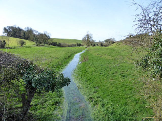
The wood is characterized by its dense canopy of mature oak, beech, and ash trees, which create a vibrant and tranquil atmosphere. The interwoven branches provide a haven for a variety of wildlife, including deer, foxes, badgers, and a plethora of bird species. Nature enthusiasts and birdwatchers often flock to Fifield Ashes to observe and appreciate the rich biodiversity.
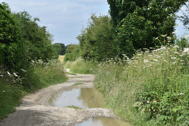
The forest floor is adorned with seasonal wildflowers, adding bursts of color to the green landscape throughout the year. It is also home to a network of walking trails that wind through the woods, offering visitors the opportunity to explore the area's natural wonders. These trails are well-maintained, making them accessible to both casual strollers and more experienced hikers.
Fifield Ashes has a rich history dating back centuries. The area was once used for timber production and is still occasionally managed for sustainable logging. However, conservation efforts have been put in place to protect the ancient woodland and its inhabitants.
Overall, Fifield Ashes is a haven for nature lovers, offering a peaceful retreat amidst the beauty of the Wiltshire countryside. Its enchanting woodland, diverse wildlife, and well-maintained trails make it an ideal destination for those seeking a connection with nature.
If you have any feedback on the listing, please let us know in the comments section below.
Fifield Ashes Images
Images are sourced within 2km of 51.03695/-1.994601 or Grid Reference SU0026. Thanks to Geograph Open Source API. All images are credited.


Fifield Ashes is located at Grid Ref: SU0026 (Lat: 51.03695, Lng: -1.994601)
Unitary Authority: Wiltshire
Police Authority: Wiltshire
What 3 Words
///epidemics.ended.efficient. Near Bower Chalke, Wiltshire
Nearby Locations
Related Wikis

Fifield Bavant
Fifield Bavant (/'fʌɪfiːld 'bavənt/) is a small village in the civil parish of Ebbesborne Wake, in Wiltshire, England, about 6 miles (10 km) southwest...

Gurston Down Motorsport Hillclimb
The Gurston Down Speed Hill Climb is a hillclimb in Broad Chalke, Wiltshire, England, organised by the South Western Centre of the British Automobile Racing...

Chiselbury
Chiselbury is the site of an Iron Age univallate hillfort in Wiltshire, England. The hillfort is sub-circular in plan, and encloses an area of approximately...
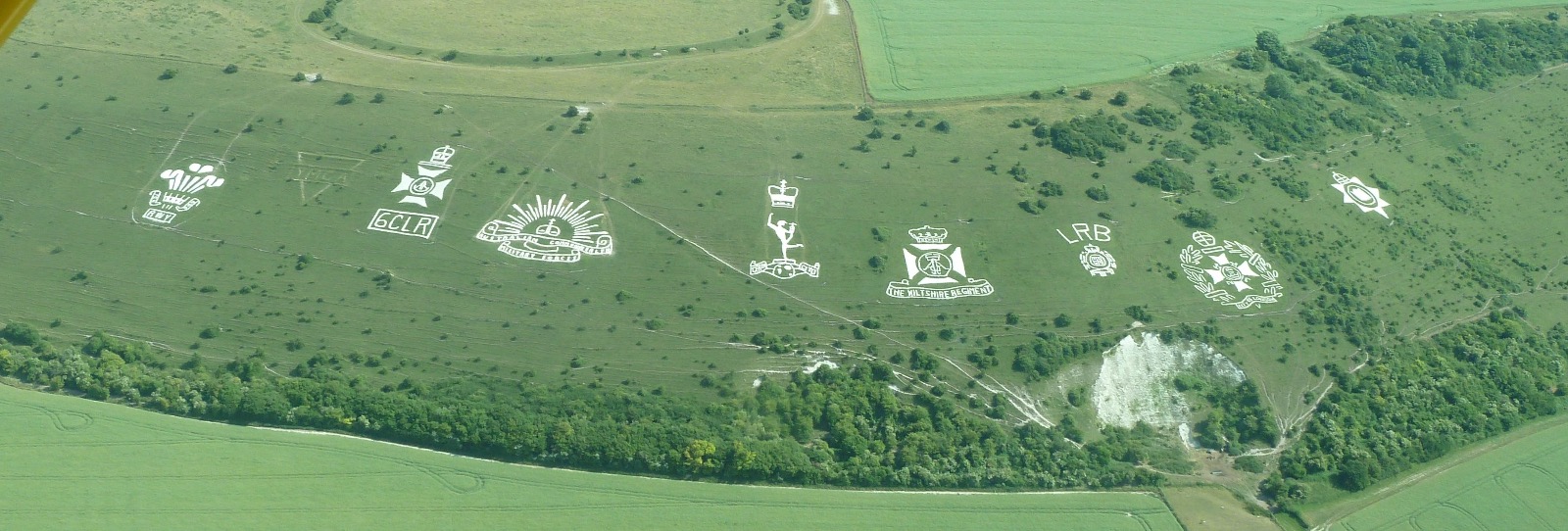
Fovant Badges
The Fovant Badges are a set of regimental badges cut into a chalk hill, Fovant Down, near Fovant, in south-west Wiltshire, England. They are between Salisbury...
Prescombe Down
Prescombe Down (grid reference ST985255) is a biological Site of Special Scientific Interest in Wiltshire, notified in 1951. == Sources == Natural England...

Fovant
Fovant is a village and civil parish in southwest Wiltshire, England, lying about 9 miles (14 km) west of Salisbury on the A30 Salisbury-Shaftesbury road...
Knapp and Barnett's Downs
Knapp and Barnett's Downs (grid reference SU030266) is a 71.4 hectare biological Site of Special Scientific Interest in Wiltshire, notified in 1971....
Ebbesbourne Wake
Ebbesbourne Wake is a village and civil parish in Wiltshire, England, some 10 miles (16 km) south-west of Salisbury, near the head of the valley of the...
Nearby Amenities
Located within 500m of 51.03695,-1.994601Have you been to Fifield Ashes?
Leave your review of Fifield Ashes below (or comments, questions and feedback).