Low Wood
Wood, Forest in Staffordshire Staffordshire Moorlands
England
Low Wood
Low Wood is a small village located in the county of Staffordshire, England. Situated in the heart of the county, it is surrounded by picturesque woodlands and enchanting forests, lending the village its name. The village is known for its natural beauty and serene atmosphere, making it a popular destination for nature enthusiasts and those seeking a tranquil getaway.
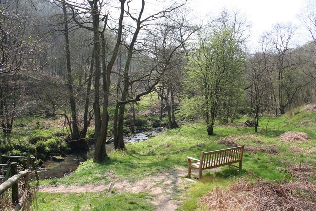
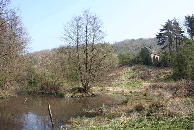
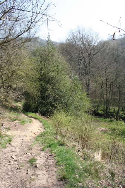
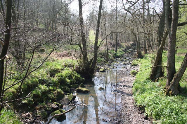
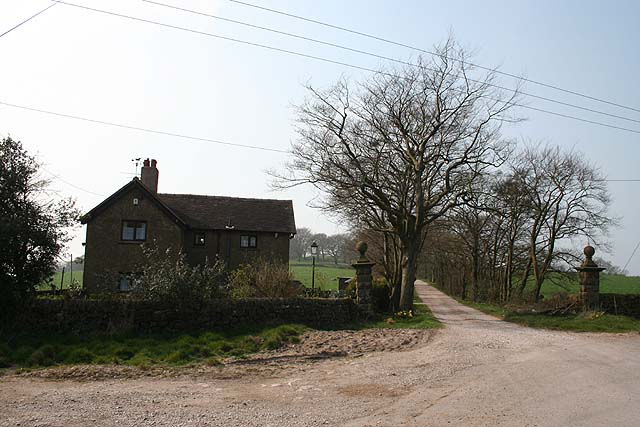
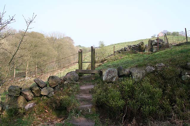
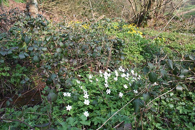
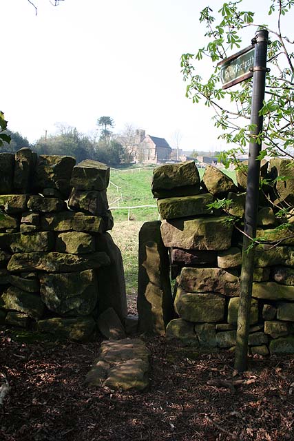
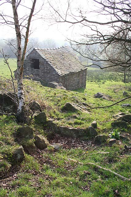
The woodlands surrounding Low Wood are teeming with diverse flora and fauna, offering a haven for wildlife and providing ample opportunities for outdoor activities. Visitors can explore the numerous walking trails and hiking paths that wind through the forests, immersing themselves in the beauty of nature. The area is also a hotspot for birdwatching, with a wide range of species calling the woodlands home.
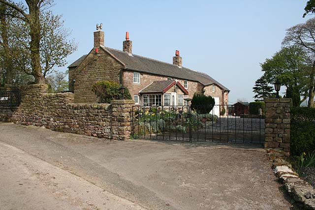
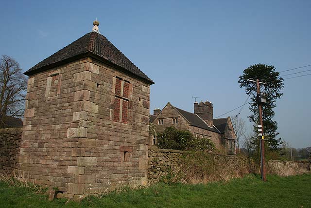
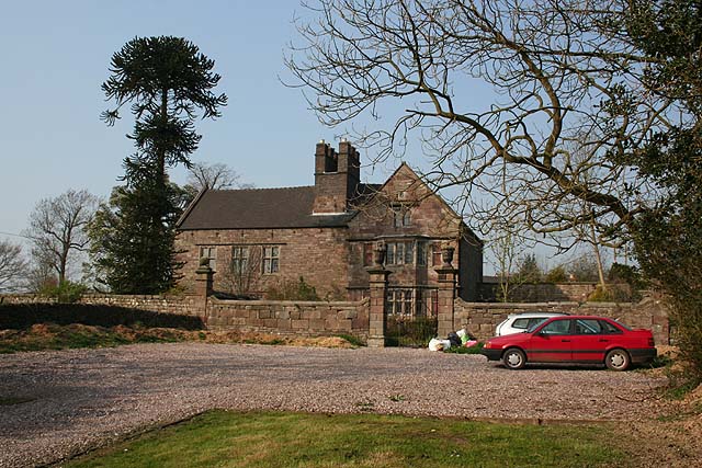
Low Wood itself is a charming village, with a tight-knit community and a rich history. The village features a small cluster of traditional stone houses, giving it a quaint and rustic feel. The local pub, The Woodland Inn, is a popular gathering spot for villagers and visitors alike, offering a warm and friendly atmosphere.
In addition to its natural beauty, Low Wood is conveniently located near several attractions. The nearby market town of Stafford offers a range of amenities, including shops, restaurants, and historical landmarks. The stunning Cannock Chase, an Area of Outstanding Natural Beauty, is just a short drive away, providing further opportunities for exploration and adventure.
Overall, Low Wood is a hidden gem in Staffordshire, offering a perfect blend of natural beauty, tranquility, and community spirit. It is a place where visitors can escape the hustle and bustle of everyday life and reconnect with nature.
If you have any feedback on the listing, please let us know in the comments section below.
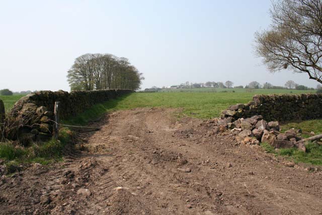
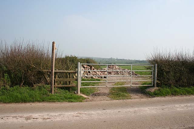
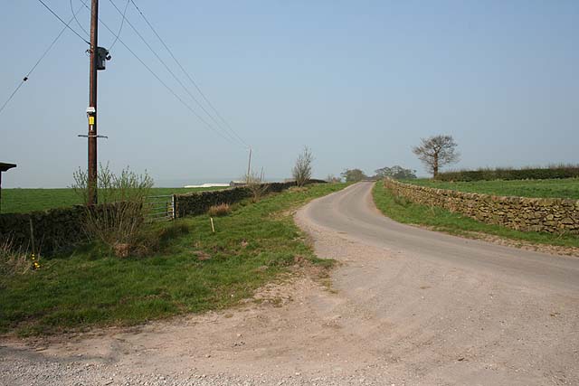
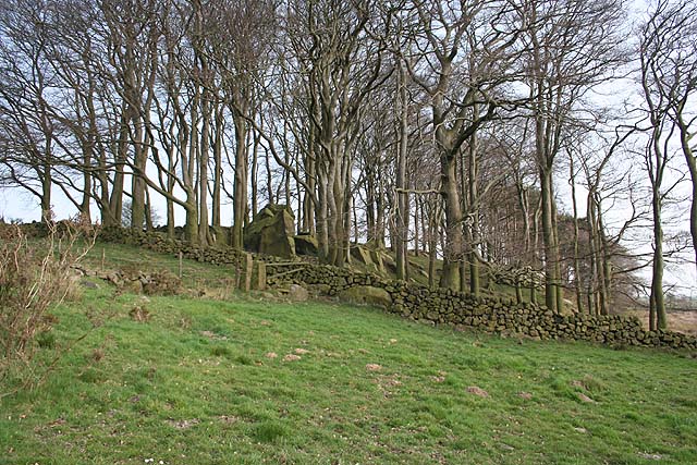
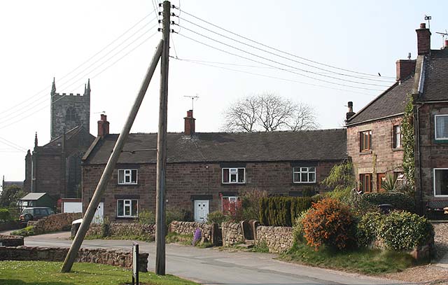
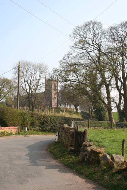
Low Wood Images
Images are sourced within 2km of 53.062258/-1.9952289 or Grid Reference SK0051. Thanks to Geograph Open Source API. All images are credited.
Low Wood is located at Grid Ref: SK0051 (Lat: 53.062258, Lng: -1.9952289)
Administrative County: Staffordshire
District: Staffordshire Moorlands
Police Authority: Staffordshire
What 3 Words
///suffix.divided.ultra. Near Cheddleton, Staffordshire
Nearby Locations
Related Wikis

Coombes Valley RSPB reserve
Coombes Valley RSPB reserve (grid reference SK005525) is a nature reserve, run by the RSPB, near the town of Leek in Staffordshire, England. It is best...

Staffordshire Moorlands (UK Parliament constituency)
Staffordshire Moorlands is a constituency represented in the House of Commons of the UK Parliament since 2010 by Karen Bradley, a Conservative who served...

Above Church
Above Church is a hamlet about 0.6 kilometers (0.4 mi) northwest of Ipstones in the English county of Staffordshire. It is located at grid reference SK016504...

Churnet Valley Railway
The Churnet Valley Railway is a preserved standard gauge heritage railway in the Staffordshire Moorlands of Staffordshire, England. It operates on part...

Ipstones
Ipstones is a village and civil parish in the north of the English county of Staffordshire. Ipstones is part of the Staffordshire Moorlands district; within...
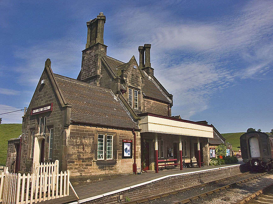
Cheddleton railway station
Cheddleton railway station is a former passenger railway station of the North Staffordshire Railway (NSR) and is now a preserved station on the Churnet...

Ipstones railway station
Ipstones railway station was a railway station that served the village of Ipstones, Staffordshire. It was opened by the North Staffordshire Railway (NSR...

Consall railway station
Consall railway station is a former passenger railway station of the North Staffordshire Railway (NSR) and is now a preserved station on the Churnet Valley...
Nearby Amenities
Located within 500m of 53.062258,-1.9952289Have you been to Low Wood?
Leave your review of Low Wood below (or comments, questions and feedback).