Kington Brake
Wood, Forest in Worcestershire Wychavon
England
Kington Brake
Kington Brake is a small village located in the county of Worcestershire, England. Situated in the heart of the picturesque Wood, Forest area, this rural settlement offers a tranquil and scenic environment for its residents. The village is surrounded by dense woodlands, creating a serene atmosphere and providing ample opportunities for outdoor activities such as hiking, biking, and nature walks.
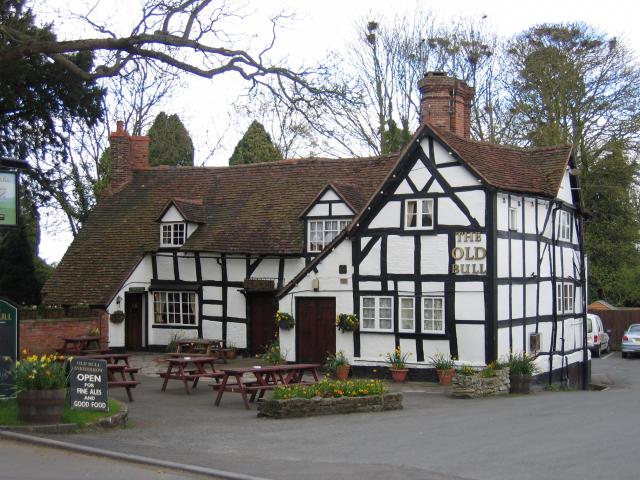
With a population of around 300 inhabitants, Kington Brake boasts a close-knit community. The village is characterized by charming cottages and traditional architecture, adding to its idyllic charm. The local economy primarily revolves around agriculture, with many residents engaged in farming and livestock rearing.
Despite its small size, Kington Brake is well-connected to nearby towns and cities. The village is conveniently located close to major road networks, allowing for easy access to amenities and services. The nearby town of Worcester, located approximately 10 miles away, provides residents with a range of facilities including schools, healthcare centers, and shopping opportunities.
Kington Brake is also known for its rich history and heritage. The area is home to several historical landmarks, including St. Peter's Church, a medieval church dating back to the 12th century. The village also hosts various cultural and community events throughout the year, further strengthening the sense of community among its residents.
In summary, Kington Brake, Worcestershire, is a charming village nestled in the Wood, Forest area. With its natural beauty, strong community spirit, and convenient location, it offers a peaceful and pleasant living environment for its residents.
If you have any feedback on the listing, please let us know in the comments section below.
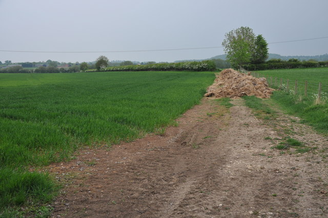
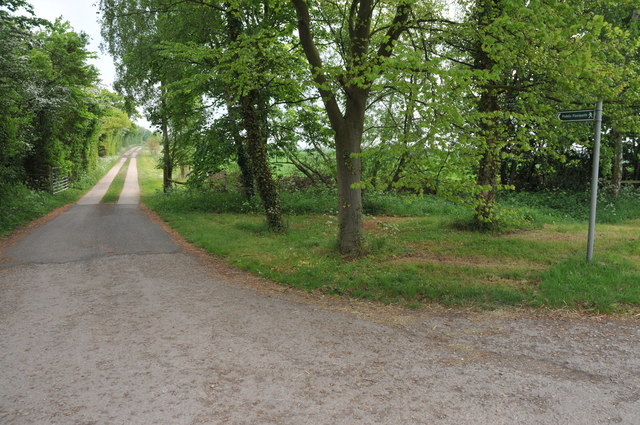
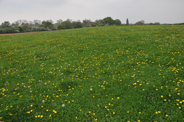
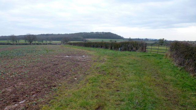
Kington Brake Images
Images are sourced within 2km of 52.197356/-1.9960631 or Grid Reference SP0055. Thanks to Geograph Open Source API. All images are credited.


Kington Brake is located at Grid Ref: SP0055 (Lat: 52.197356, Lng: -1.9960631)
Administrative County: Worcestershire
District: Wychavon
Police Authority: West Mercia
What 3 Words
///orders.admires.driveways. Near Kington, Worcestershire
Nearby Locations
Related Wikis

Radford, Worcestershire
Radford is a hamlet in the Wychavon district of Worcestershire, England. It is 1 mile SSW of Inkberrow. In 2013, Landscan population maps show there to...

Kington, Worcestershire
Kington is a village in Worcestershire, England, situated near to Flyford Flavell. == History == The earliest known recording of Kington in the Domesday...
Inkberrow
Inkberrow is a village in Worcestershire, England, often thought to be the model for Ambridge, the setting of BBC Radio 4's long-running series The Archers...
Inkberrow Castle
Inkberrow Castle was situated in the village of Inkberrow in Worcestershire, some 10 km south of Redditch (grid reference SP017572). It was a castle built...

Abberton, Worcestershire
Abberton is a small village in Worcestershire, England. In 1991, the population was 44, this grew to 67 in 24 households in 2001.The principal house in...

Abberton Hall
Abberton Hall is a small country house in the village of Abberton, Worcestershire, England, near Pershore. == History == It is an irregular two-story...
Goom's Hill
Goom's Hill is a location near Abbots Morton in Worcestershire, England.

Little Inkberrow
Little Inkberrow is a village in Worcestershire, England. Ralph Ardern inherited the Worcestershire manor of Little Inkberrow between 1382 (the death...
Nearby Amenities
Located within 500m of 52.197356,-1.9960631Have you been to Kington Brake?
Leave your review of Kington Brake below (or comments, questions and feedback).