Croydon
Settlement in Cambridgeshire South Cambridgeshire
England
Croydon

Croydon is a small village located in the county of Cambridgeshire, England. Situated approximately 20 miles southwest of the city of Cambridge, it lies on the eastern edge of the county. With a population of around 600 residents, Croydon is a tight-knit community that exudes a sense of tranquility and rural charm.
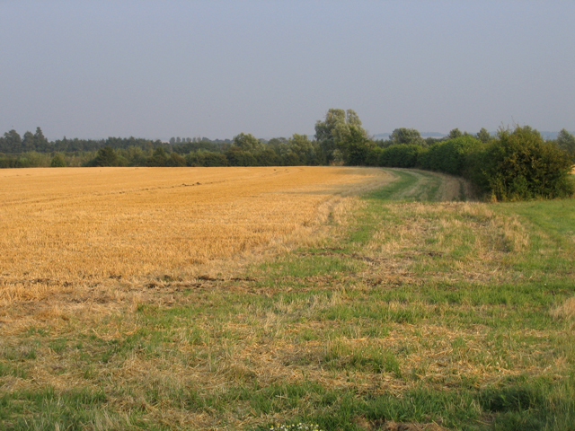
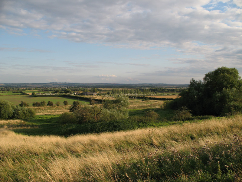
The village is characterized by its picturesque countryside surroundings, featuring rolling green hills, meandering streams, and clusters of ancient trees. The landscape is dotted with traditional cottages and farmhouses, which add to its idyllic appeal. Agriculture plays a significant role in the local economy, with farming being a common profession among the residents.
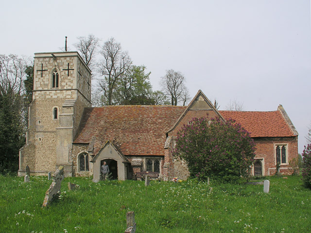
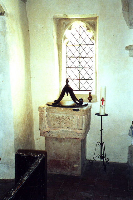
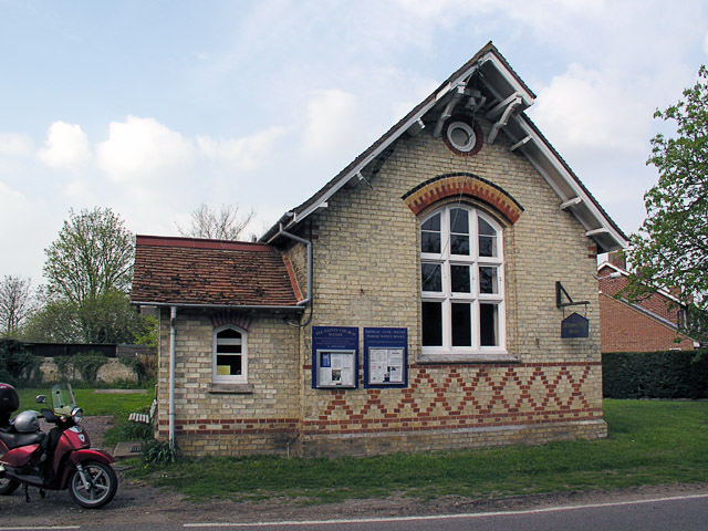
Croydon boasts a rich history, with traces of human habitation dating back to prehistoric times. The village is home to several historical landmarks, including a medieval church that stands as a testament to its heritage. The church, dedicated to St. John the Evangelist, showcases stunning architecture and serves as a focal point for the community.
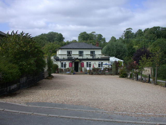
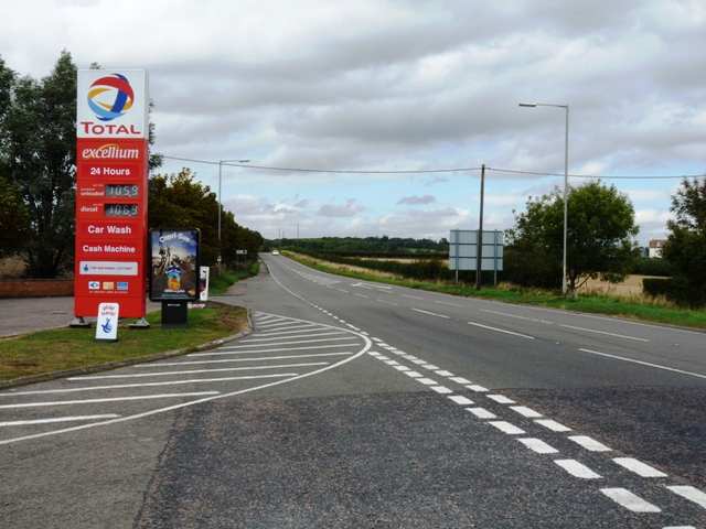
Although Croydon is predominantly a residential area, it offers a range of amenities to its residents. These include a primary school, a village hall, and a local pub that serves as a social hub for the villagers. The village also benefits from excellent transport links, with regular bus services connecting it to neighboring towns and cities.
Overall, Croydon, Cambridgeshire is a charming village that embraces its rural roots while providing a peaceful and close-knit community for its residents.
If you have any feedback on the listing, please let us know in the comments section below.
Croydon Images
Images are sourced within 2km of 52.128575/-0.078711476 or Grid Reference TL3149. Thanks to Geograph Open Source API. All images are credited.


Croydon is located at Grid Ref: TL3149 (Lat: 52.128575, Lng: -0.078711476)
Administrative County: Cambridgeshire
District: South Cambridgeshire
Police Authority: Cambridgeshire
What 3 Words
///sampled.pickup.farmer. Near Orwell, Cambridgeshire
Nearby Locations
Related Wikis

Croydon, Cambridgeshire
Croydon is a small village and civil parish in South Cambridgeshire, England. It is 10 miles (16 km) south-west of Cambridge and immediately west of the...
Clopton, Cambridgeshire
Clopton is a deserted medieval village (DMV), about 1 mile (1.6 km) south west of the village of Croydon, Cambridgeshire, that once stood on a prominent...
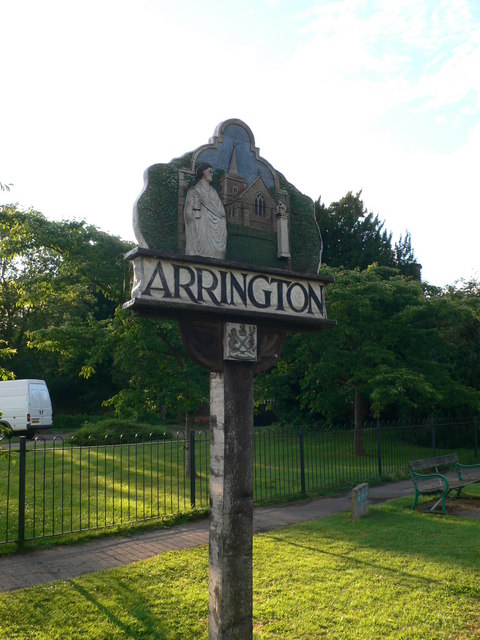
Arrington, Cambridgeshire
Arrington is a small village and civil parish in the South Cambridgeshire district of Cambridgeshire, England, with a population of 415 at the time of...
Wendy, Cambridgeshire
Wendy is a hamlet and former civil parish, now in the parish of Shingay cum Wendy, in the South Cambridgeshire district, in the county of Cambridgeshire...
Shingay cum Wendy
Shingay cum Wendy is a civil parish in the English county of Cambridgeshire, around 5 miles (8 km) north west of Royston. Forming part of the district...
Shingay Preceptory
Shingay Preceptory was a Knights Hospitaller priory at Shingay in Cambridgeshire, England. It was established in 1144. The moated site is a scheduled ancient...

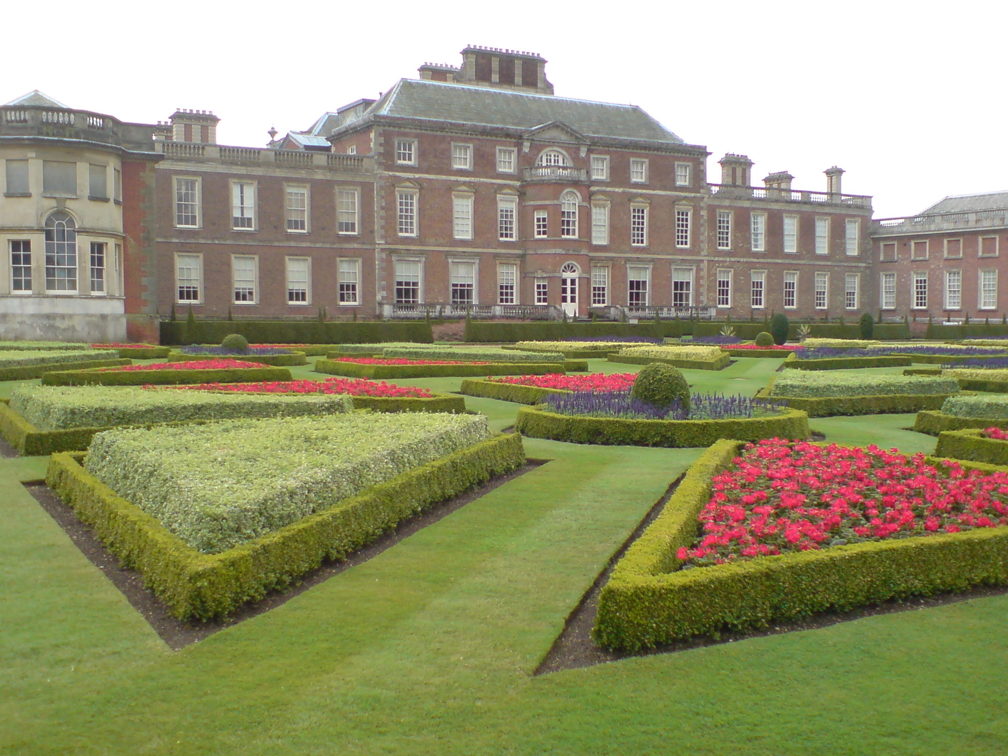
Wimpole Estate
Wimpole Estate is a large estate containing Wimpole Hall, a country house located within the civil parish of Wimpole, Cambridgeshire, England, about 8...
Wimpole
Wimpole is a small village and civil parish in South Cambridgeshire, England, about 8+1⁄2 miles (13.7 km) southwest of Cambridge. Until 1999, the main...
Nearby Amenities
Located within 500m of 52.128575,-0.078711476Have you been to Croydon?
Leave your review of Croydon below (or comments, questions and feedback).