Solomon's Wood

Wood, Forest in Staffordshire Staffordshire Moorlands

England

Solomon's Wood

Solomon's Hollow Just outside Leek, a small valley with sides too steep for cultivation, now covered in scrub woodland with grazed clearings.
Solomon's Hollow Credit: Richard Webb

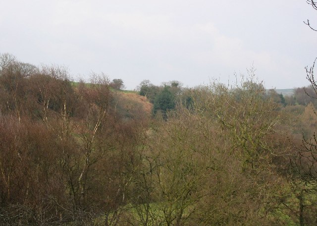
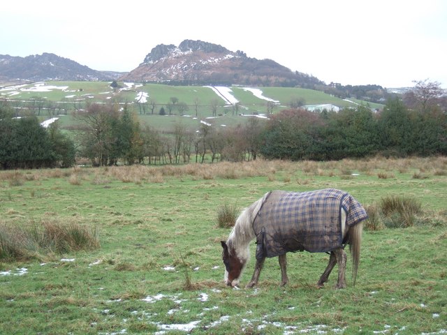
Solomon's Wood is a picturesque forest located in the county of Staffordshire, England. With its lush greenery, tall trees, and serene atmosphere, it attracts nature enthusiasts and outdoor adventurers alike.

Covering an area of approximately 100 acres, Solomon's Wood is a haven for wildlife and a sanctuary of tranquility. The forest is primarily composed of native tree species such as oak, beech, and birch, creating a diverse and vibrant ecosystem. The sunlight filters through the dense canopy, casting a dappled effect on the forest floor, which is covered in a carpet of fallen leaves and moss.

The wood is crisscrossed by several well-maintained walking trails, allowing visitors to explore its beauty at their own pace. These trails vary in length and difficulty, catering to both casual strollers and avid hikers. Along the way, one can discover hidden streams, enchanting wildflowers, and perhaps even spot some of the woodland creatures that call Solomon's Wood their home, including deer, squirrels, and a variety of bird species.

Solomon's Wood is not only a haven for nature enthusiasts but also a place of historical interest. It is believed to have been named after King Solomon of biblical fame, although the exact origins of the name remain uncertain. The forest has been enjoyed by locals and visitors for generations, providing a peaceful retreat away from the hustle and bustle of modern life.

Whether one seeks solace in nature, a scenic walk, or a glimpse into the past, Solomon's Wood offers a captivating and enriching experience for all who venture within its leafy embrace.

If you have any feedback on the listing, please let us know in the comments section below.

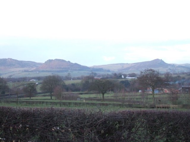
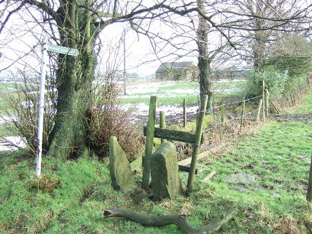
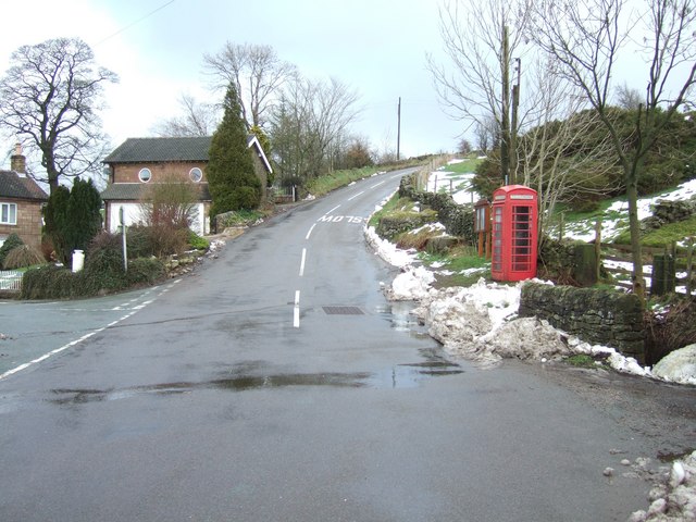
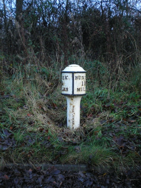
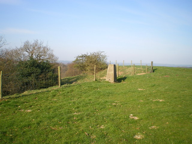
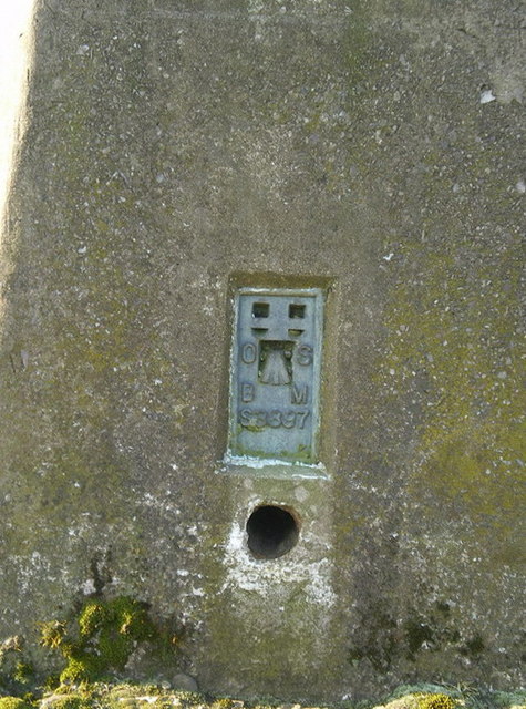
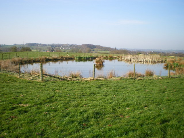
Solomon's Wood Images

Images are sourced within 2km of 53.120552/-2.0011997 or Grid Reference SK0058. Thanks to Geograph Open Source API. All images are credited.

Solomon's Hollow Just outside Leek, a small valley with sides too steep for cultivation, now covered in scrub woodland with grazed clearings.
Solomon's Hollow
Just outside Leek, a small valley with sides too steep for cultivation, now covered in scrub woodland with grazed clearings.
Roaches View across the fields towards The Roaches and the Winking Man.  See <a href="https://www.geograph.org.uk/gridref/SK0062">SK0062</a> for closeup of these rocks.
Roaches
View across the fields towards The Roaches and the Winking Man. See SK0062 for closeup of these rocks.
Anzio Camp Former army camp, planned to be rebuilt as a retirement village.
Anzio Camp
Former army camp, planned to be rebuilt as a retirement village.
Footpath near Coltsmoor Farm
Easing Lane
Easing Lane
Road Junction at Thorncliffe
Weather Station near Blackshaw Moor
Field View across to The Roaches
Snowy Road Yesterday's heavy snow turns into melt water in a fast thaw
Snowy Road
Yesterday's heavy snow turns into melt water in a fast thaw
Edge End milepost detail One of a small number of cast iron mileposts along the Leek to Buxton road, most of which are in much the same parlous state as this one.
Edge End milepost detail
One of a small number of cast iron mileposts along the Leek to Buxton road, most of which are in much the same parlous state as this one.
The Edge End milepost in its setting Beside the A53, and more or less opposite the entrance to the Leek water treatment works.
The Edge End milepost in its setting
Beside the A53, and more or less opposite the entrance to the Leek water treatment works.
Blackshaw Moor milepost - detail With the manufacturer's name (apparently William Green, Macclesfield) cast into the post, this milepost is better preserved than many along the A53. It dates from the late 19th century, and was Grade II listed <span class="nowrap"><a title="https://britishlistedbuildings.co.uk/101038190-milepost-leek-2-miles-tittesworth#.Y9bdhHbP3IU" rel="nofollow ugc noopener" href="https://britishlistedbuildings.co.uk/101038190-milepost-leek-2-miles-tittesworth#.Y9bdhHbP3IU">Link</a><img style="margin-left:2px;" alt="External link" title="External link - shift click to open in new window" src="https://s1.geograph.org.uk/img/external.png" width="10" height="10"/></span> & <span class="nowrap"><a title="https://historicengland.org.uk/listing/the-list/list-entry/1038190" rel="nofollow ugc noopener" href="https://historicengland.org.uk/listing/the-list/list-entry/1038190">Link</a><img style="margin-left:2px;" alt="External link" title="External link - shift click to open in new window" src="https://s1.geograph.org.uk/img/external.png" width="10" height="10"/></span> in 1985.
Blackshaw Moor milepost - detail
With the manufacturer's name (apparently William Green, Macclesfield) cast into the post, this milepost is better preserved than many along the A53. It dates from the late 19th century, and was Grade II listed LinkExternal link & LinkExternal link in 1985.
Blackshaw Moor milepost in its setting A view along the straightest part of the A53, past Anzio Camp, with the Blackshaw Moor milepost <a href="https://www.geograph.org.uk/photo/1598274">SK0059 : Blackshaw Moor milepost - detail</a> in the verge on the right. This was taken on a wet afternoon and in fading light - sorry about the quality.
Blackshaw Moor milepost in its setting
A view along the straightest part of the A53, past Anzio Camp, with the Blackshaw Moor milepost SK0059 : Blackshaw Moor milepost - detail in the verge on the right. This was taken on a wet afternoon and in fading light - sorry about the quality.
Three Horseshoes Inn, Blackshaw Moor A landmark roadside inn on the A53 between Leek and Buxton
Three Horseshoes Inn, Blackshaw Moor
A landmark roadside inn on the A53 between Leek and Buxton
Solomon's Hollow trig point Perched right on the edge of the valley of Solomon's Hollow, this sits at a spot height of 237m, which is slightly lower than the nearby spot of 239m.
Solomon's Hollow trig point
Perched right on the edge of the valley of Solomon's Hollow, this sits at a spot height of 237m, which is slightly lower than the nearby spot of 239m.
Benchmark plate on the trig point
A small pool in the field at Upper Tittesworth Farm
Thorncliffe Methodist Chapel
Show me another place!

Solomon's Wood is located at Grid Ref: SK0058 (Lat: 53.120552, Lng: -2.0011997)

Administrative County: Staffordshire

District: Staffordshire Moorlands

Police Authority: Staffordshire

What 3 Words

///colder.departure.huddling. Near Leek, Staffordshire

Nearby Locations

Slack Wood Solomon's Wood

Related Wikis

Tittesworth

Tittesworth is a civil parish in the Staffordshire Moorlands, in Staffordshire, England. It extends from the edge of the town of Leek in the south-west...

Ball Haye Green

Ball Haye Green is an area of Leek in Staffordshire, England. The area was historically an estate in the township of Tittesworth. It was developed as...

Leek High School

Leek High School is a mixed upper school (termed 'high school') located in Leek, Staffordshire, England. As of 2021, the number of students at the school...

The Meadows School, Leek

The Meadows School is a mixed special school co-located with Leek High School in Leek, Staffordshire, England.In 2014 Ofsted said “Students make good...

Thorncliffe, Staffordshire

Thorncliffe is a small village in Staffordshire, England, straddling the Staffordshire Moorlands and Peak District National Park. By 1600 the name Thorncliffe...

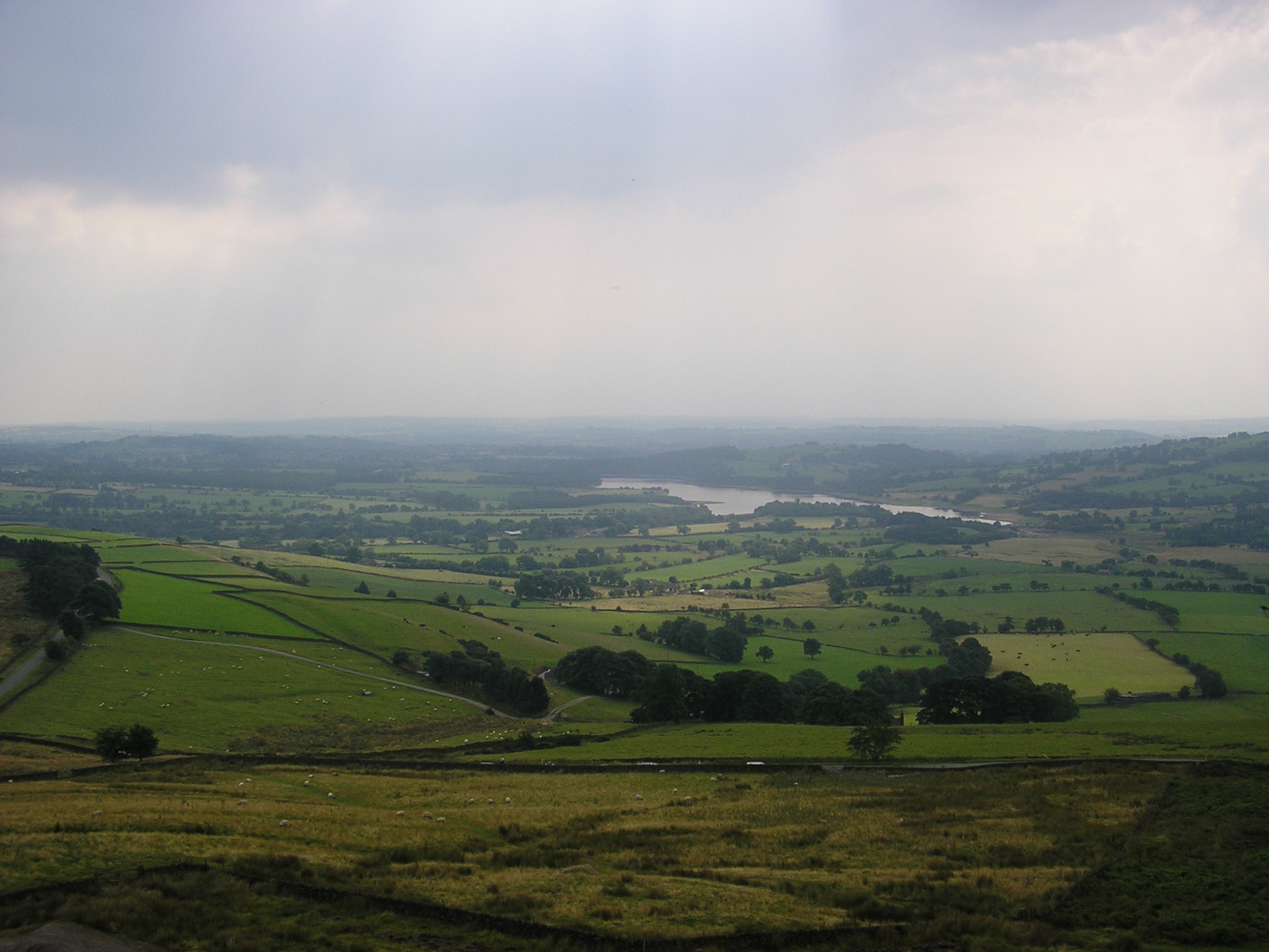
Tittesworth reservoir

Tittesworth Reservoir is a water storage reservoir near Leek, Staffordshire, England, fed by the River Churnet. The reservoir and associated water treatment...

Dieulacres Abbey

Dieulacres Abbey was a Cistercian monastery established by Ranulf, Earl of Chester at Poulton in Cheshire. It moved to the present site at Abbey Green...
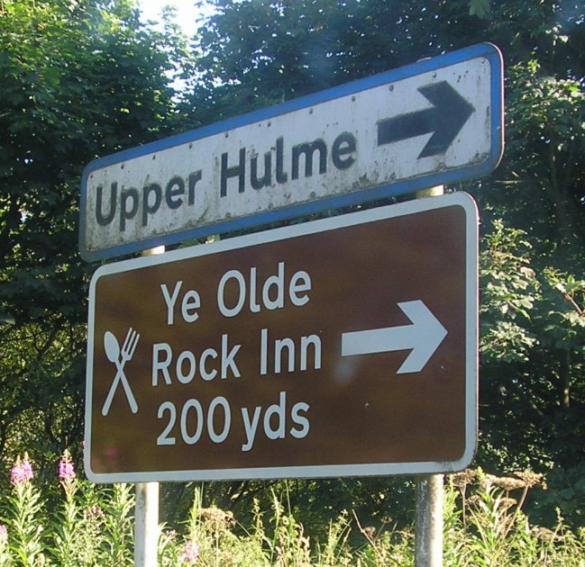
Upper Hulme

Upper Hulme is a hamlet in North Staffordshire, between the historic market town of Leek and the spa town of Buxton. It is clustered around a redundant...

Nearby Amenities

Located within 500m of 53.120552,-2.0011997
Barrier: stile
Lat/Long: 53.1168615/-2.0034534
Bench
Lat/Long: 53.1232143/-2.0053115
Windsor Drive
Power: substation
Ref: 2446
Lat/Long: 53.1166857/-2.0038929
Bench
Lat/Long: 53.1225751/-2.0073797
Traffic Calming: bump
Lat/Long: 53.1172867/-2.0042318
The data included in this document is from www.openstreetmap.org. The data is made available under ODbL.

Have you been to Solomon's Wood?

Leave your review of Solomon's Wood below (or comments, questions and feedback).