Cocklar Plantation

Wood, Forest in Gloucestershire Cotswold

England

Cocklar Plantation

Straw castle On a field edge near Norbury Camp is this partially-built straw construction.
Straw castle Credit: Jonathan Billinger

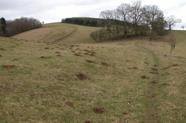
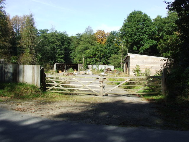
Cocklar Plantation is a picturesque woodland located in Gloucestershire, England. Situated in the heart of the Forest of Dean, this plantation covers a vast area of approximately 100 acres. It boasts a diverse range of flora and fauna and is a haven for nature enthusiasts.

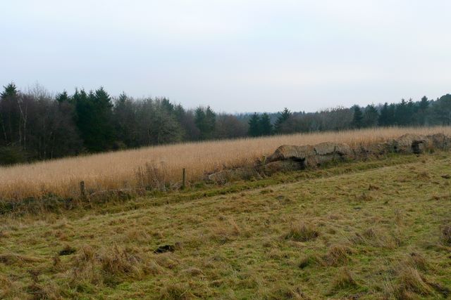
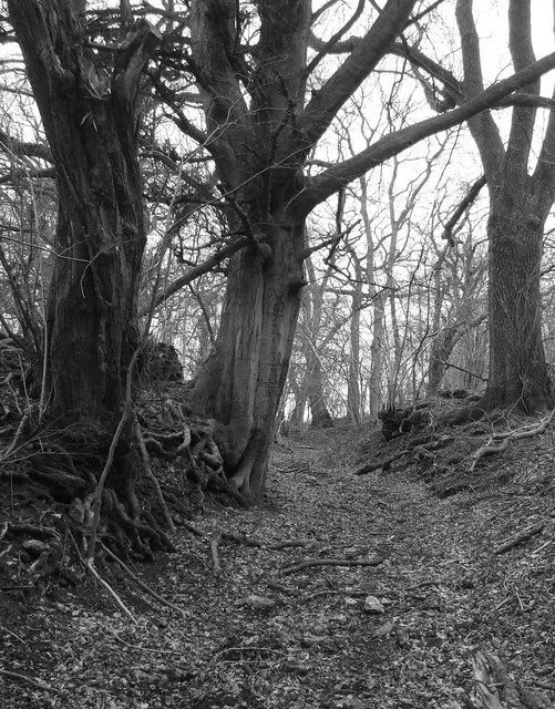
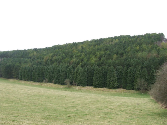
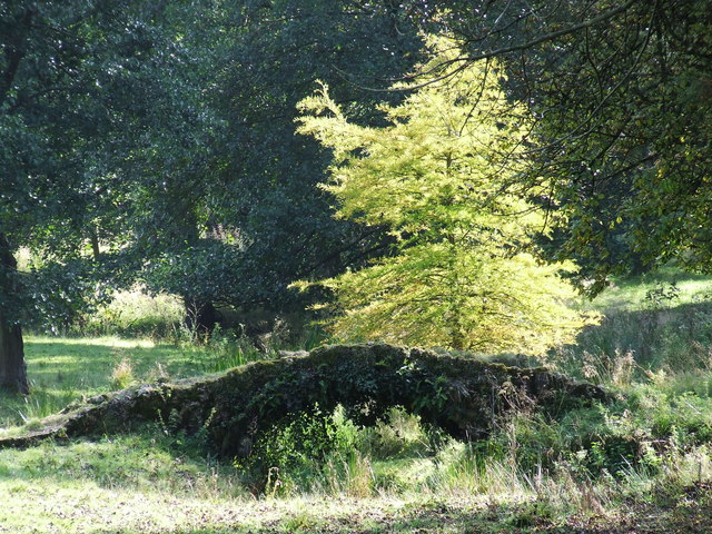
The woodland is predominantly composed of native tree species, including oak, beech, and ash, which form a lush canopy that provides shade and shelter for a variety of wildlife. The forest floor is covered with a rich carpet of bluebells, wild garlic, and ferns, adding to the enchanting atmosphere of the plantation.

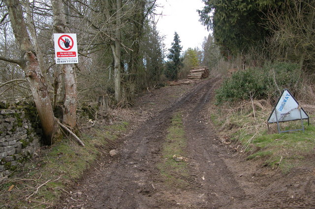
Cocklar Plantation is crisscrossed by a network of well-maintained footpaths and trails, making it easily accessible to visitors. These paths offer stunning views of the surrounding landscape, including rolling hills and meandering streams. The plantation is a popular destination for walkers, hikers, and cyclists, who can explore the tranquil beauty of the woodland at their own pace.

The plantation also plays an important ecological role, providing a habitat for a range of wildlife. Visitors may spot deer, badgers, and foxes, as well as a variety of bird species, including woodpeckers and owls. The presence of these animals adds to the charm and allure of Cocklar Plantation, making it a must-visit location for nature lovers.

In conclusion, Cocklar Plantation in Gloucestershire is a breathtaking woodland that offers a peaceful escape from the hustle and bustle of daily life. Its diverse ecosystem, scenic trails, and abundant wildlife make it a true gem within the Forest of Dean.

If you have any feedback on the listing, please let us know in the comments section below.

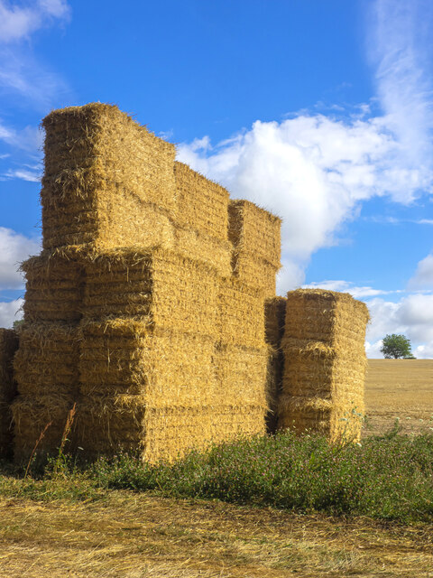
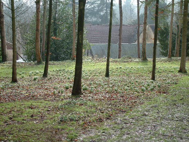
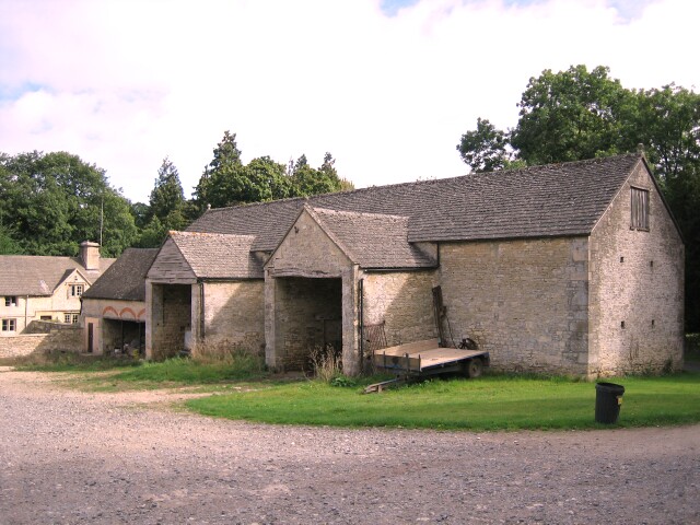
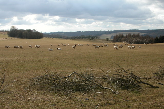
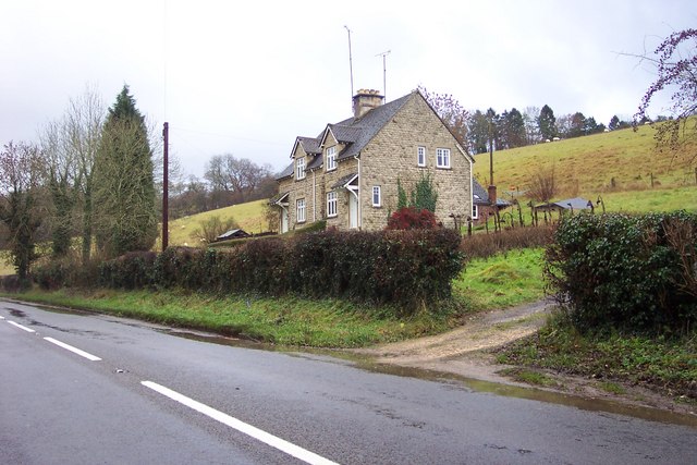
Cocklar Plantation Images

Images are sourced within 2km of 51.814218/-2.0013455 or Grid Reference SP0012. Thanks to Geograph Open Source API. All images are credited.

Straw castle On a field edge near Norbury Camp is this partially-built straw construction.
Straw castle
On a field edge near Norbury Camp is this partially-built straw construction.
Woods east of Colesbourne
Approaching entrance to Rapsgate Park
Colesbourne Manor Snowdrops in the woods behind Colesbourne Manor
Colesbourne Manor
Snowdrops in the woods behind Colesbourne Manor
Barn at Colesbourne A large barn to the east of the Cheltenham to Cirencester road in the village of Colesbourne
Barn at Colesbourne
A large barn to the east of the Cheltenham to Cirencester road in the village of Colesbourne
Sheep grazing near Colesbourne Today much of the Cotswolds is arable, here the land is used for the traditional use of sheep grazing. In Medieval times wool was a major export and the churches and manor houses of the Cotswolds reflect the wealth the wool trade created.
Sheep grazing near Colesbourne
Today much of the Cotswolds is arable, here the land is used for the traditional use of sheep grazing. In Medieval times wool was a major export and the churches and manor houses of the Cotswolds reflect the wealth the wool trade created.
Valley between Monkham Wood and Boy's Grove This valley is above Colesbourne. A bridleway can be seen as it crosses through the valley en-route between Colesbourne and Chedworth.
Valley between Monkham Wood and Boy's Grove
This valley is above Colesbourne. A bridleway can be seen as it crosses through the valley en-route between Colesbourne and Chedworth.
Colesbourne church Colesbourne church is dedicated to St James and is located in Colesbourne Park.
Colesbourne church
Colesbourne church is dedicated to St James and is located in Colesbourne Park.
Forestry work at Little Colesbourne Warning at the entrance to Barncombe Bottom of forestry activity in Little Colesbourne.
Forestry work at Little Colesbourne
Warning at the entrance to Barncombe Bottom of forestry activity in Little Colesbourne.
Behind the gate of Bennett Farm, Law Offices. With a flash flood in progress.
Behind the gate of Bennett Farm, Law Offices.
With a flash flood in progress.
This building is called Memory Lodge. Situated by the A435 between Colesbourne and Rendcomb
This building is called Memory Lodge.
Situated by the A435 between Colesbourne and Rendcomb
Cottages near Marsden in the Cotswolds
Standing on the line The Two Degrees West line at this point is rather uninspiring.  Looking towards Penhill Plantation which covers most of the western half of the square.
Standing on the line
The Two Degrees West line at this point is rather uninspiring. Looking towards Penhill Plantation which covers most of the western half of the square.
Old Roman Road Now a bridleway but, once a roman road to Chedworth
Old Roman Road
Now a bridleway but, once a roman road to Chedworth
Gulf Plantation Forestry Commission experimental plantation planted 1966.
Gulf Plantation
Forestry Commission experimental plantation planted 1966.
Track in gulf Plantation
Old Sawmill Colesbourne estate
Old stone Bridge
Old stone Bridge
Show me another place!

Cocklar Plantation is located at Grid Ref: SP0012 (Lat: 51.814218, Lng: -2.0013455)

Administrative County: Gloucestershire

District: Cotswold

Police Authority: Gloucestershire

What 3 Words

///coil.party.sues. Near Charlton Kings, Gloucestershire

Related Wikis

Colesbourne

Colesbourne is a village and civil parish in the Cotswold district of Gloucestershire, England. The village and parish lies within the Cotswolds, a designated...

Cotswold Hills Geopark

A swathe of the Cotswold Hills almost 60 miles long has been proposed as the Cotswold Hills Geopark. The Geopark project offers educational resources on...

Cockleford Marsh

Cockleford Marsh (grid reference SO977133) is a 3.2-hectare (7.9-acre) biological Site of Special Scientific Interest in Gloucestershire, notified in 1991...

Cotswolds

The Cotswolds ( KOTS-wohldz, KOTS-wəldz) is a region in central-southwest England, along a range of rolling hills that rise from the meadows of the upper...

Church of St John the Evangelist, Elkstone

The Anglican Church of St John the Evangelist at Elkstone in the Cotswold District of Gloucestershire, England was built in the 12th century. It is a grade...

Elkstone

Elkstone is a village and civil parish in the English county of Gloucestershire. In the 2001 United Kingdom census, the parish had a population of 203...

Rendcomb College

Rendcomb College is a public school (English private boarding and day school) for pupils aged 3–18, located in the village of Rendcomb five miles north...

Church of St Peter, Rendcomb

The Anglican Church of St Peter within the grounds of Rendcomb College at Rendcomb in the Cotswold District of Gloucestershire, England was rebuilt in...

Nearby Amenities

Located within 500m of 51.814218,-2.0013455
Bus Stop
Colesbourne Inn
Bus: yes
Naptan AtcoCode: 1600GL1413
Naptan Bearing: E
Naptan CommonName: Colesbourne Inn
Naptan NaptanCode: glodwmaw
Naptan Street: A435
Naptan Verified: no
Public Transport: platform
Source: naptan_import
Lat/Long: 51.8179412/-2.0022632
Bus Stop
Colesbourne Inn
Bus: yes
Naptan AtcoCode: 1600GL1414
Naptan Bearing: W
Naptan CommonName: Colesbourne Inn
Naptan Indicator: Opp
Naptan NaptanCode: glodwmat
Naptan Street: A435
Naptan Verified: no
Public Transport: platform
Source: naptan_import
Lat/Long: 51.8178333/-2.0023067
Bus Stop
Withington Turn
Bus: yes
Naptan AtcoCode: 1600GLC159
Naptan Bearing: SE
Naptan CommonName: Withington Turn
Naptan NaptanCode: glodwmpd
Naptan Street: A435
Naptan Verified: no
Public Transport: platform
Source: naptan_import
Lat/Long: 51.8169449/-1.9957096
Bus Stop
Withington Turn
Bus: yes
Naptan AtcoCode: 1600GLC160
Naptan Bearing: NW
Naptan CommonName: Withington Turn
Naptan Indicator: Opp
Naptan NaptanCode: glodwmpj
Naptan Street: A435
Naptan Verified: no
Public Transport: platform
Source: naptan_import
Lat/Long: 51.8167401/-1.9956403
Colesbourne
Is In: Gloucestershire, England, UK
Place: village
Source: NPE
Lat/Long: 51.8181996/-1.9996516
Post Box
Brand: Royal Mail
Brand Wikidata: Q638098
Operator: Royal Mail
Operator Wikidata: Q638098
Ref: GL53 147
Lat/Long: 51.8177498/-2.0000767
The data included in this document is from www.openstreetmap.org. The data is made available under ODbL.

Have you been to Cocklar Plantation?

Leave your review of Cocklar Plantation below (or comments, questions and feedback).