Braydon Wood

Wood, Forest in Wiltshire

England

Braydon Wood

Upper Stonehill Cottage
Upper Stonehill Cottage Credit: Alan Hughes

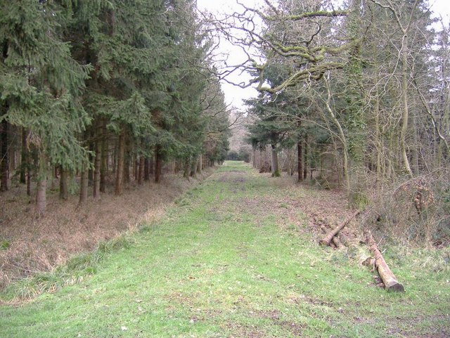
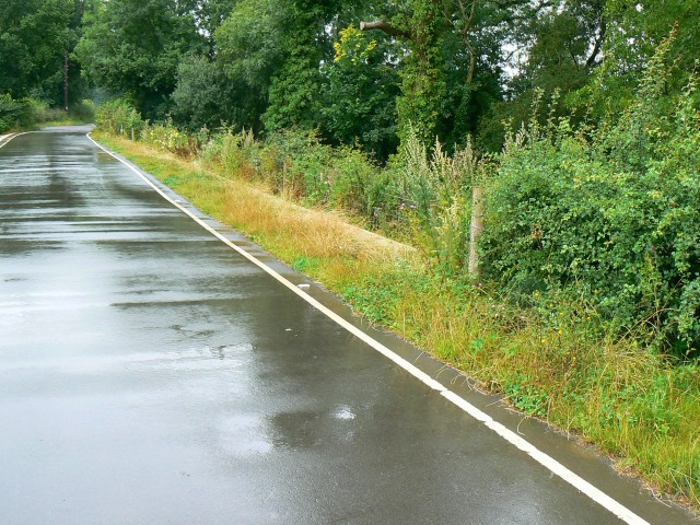
Braydon Wood is a picturesque and ancient woodland located in Wiltshire, England. Covering an area of approximately 35 hectares, it is nestled within the Braydon Forest, a designated Area of Outstanding Natural Beauty. The wood itself is predominantly made up of broadleaf trees, such as oak, ash, and beech, which create a diverse and vibrant habitat for a wide range of flora and fauna.

The history of Braydon Wood can be traced back centuries, with records dating back to the 13th century. It was traditionally managed as a source of timber and firewood, and remnants of historic charcoal platforms can still be seen within the woodland. Today, the wood is owned and managed by the Woodland Trust, a leading conservation charity in the UK, with a focus on preserving and enhancing the natural beauty and ecological value of the site.

Visitors to Braydon Wood can enjoy a variety of recreational activities, including walking, birdwatching, and nature photography. The wood is home to numerous species of birds, such as woodpeckers, nightingales, and tawny owls, making it a haven for bird enthusiasts. In the spring, the woodland floor comes alive with a carpet of bluebells, creating a stunning display of color and fragrance.

Braydon Wood offers a peaceful and tranquil escape from the hustle and bustle of modern life, providing visitors with an opportunity to connect with nature and experience the beauty of an ancient woodland. Its rich history, diverse wildlife, and natural beauty make it a treasured asset within the Wiltshire countryside.

If you have any feedback on the listing, please let us know in the comments section below.
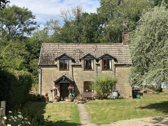
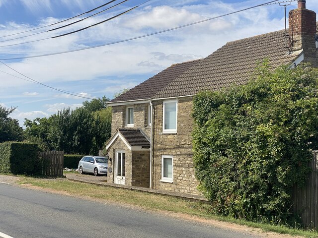
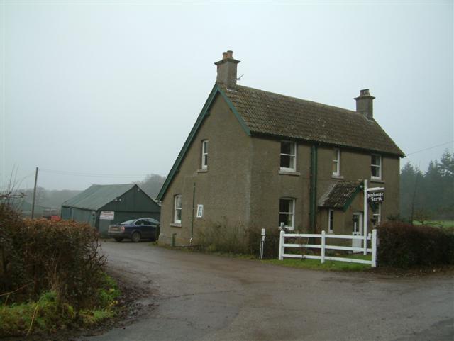
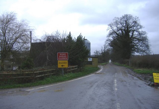
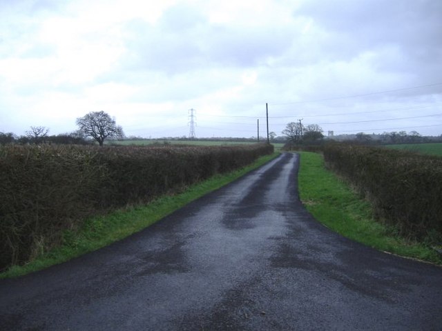
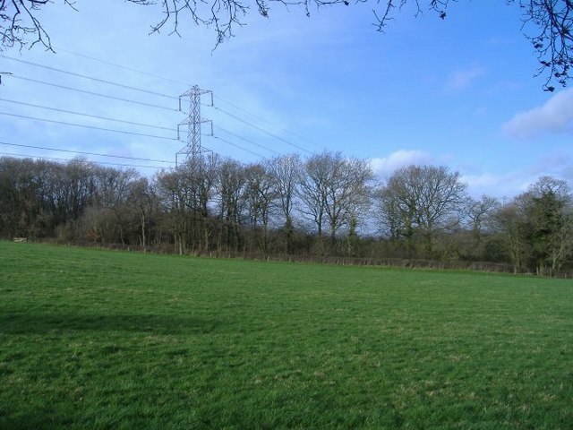
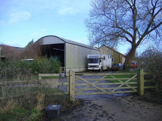
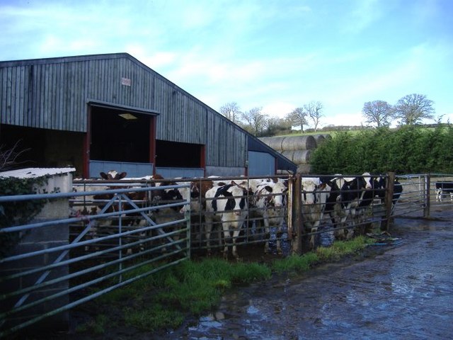
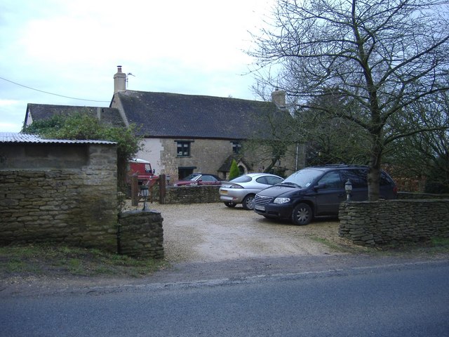
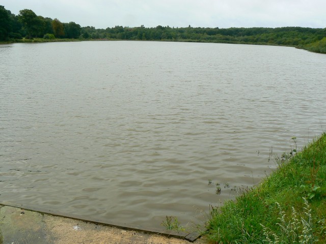
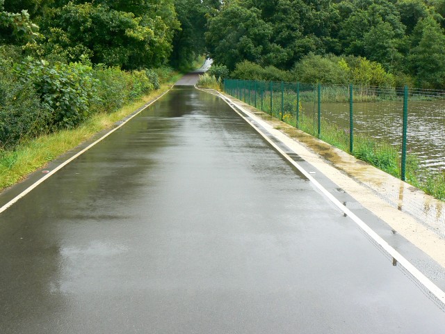
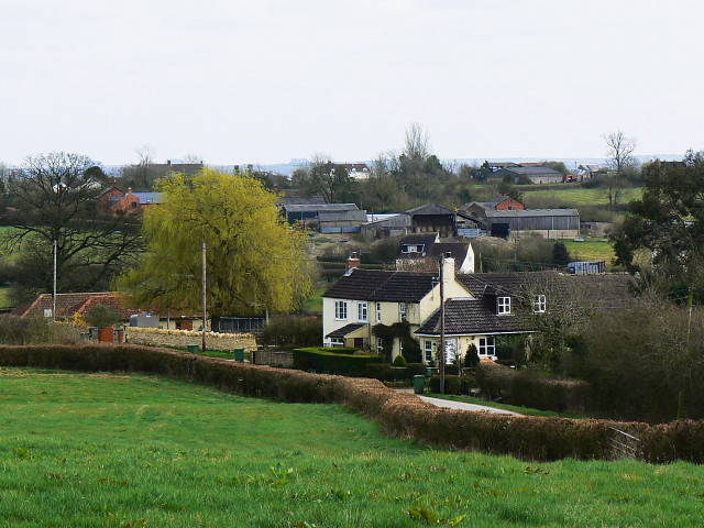
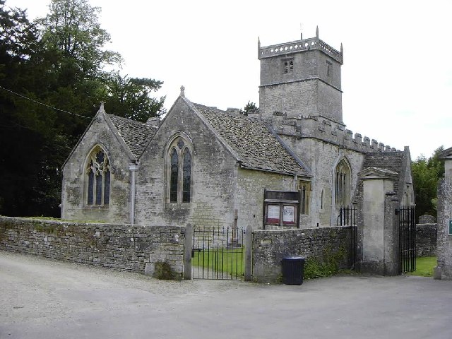
Braydon Wood Images

Images are sourced within 2km of 51.587677/-2.0013808 or Grid Reference SU0087. Thanks to Geograph Open Source API. All images are credited.

Upper Stonehill Cottage
The road to Cricklade
Milestone, B4040, Minety On the NW verge opposite the junction with the road that passes Braydon Wood and Pond. 
Originally erected by Faringdon to Acton Turville Turnpike Trust in the 18ᵗʰ C. The context view is <a href="https://www.geograph.org.uk/photo/1238061">SU0089 : B4040 to Minety</a>

Inscription: Minety / 2 / Miles / Malmesb,y / 5 / Miles

Milestone Society National ID: WI_MYCK05
Milestone, B4040, Minety
On the NW verge opposite the junction with the road that passes Braydon Wood and Pond. Originally erected by Faringdon to Acton Turville Turnpike Trust in the 18ᵗʰ C. The context view is SU0089 : B4040 to Minety Inscription: Minety / 2 / Miles / Malmesb,y / 5 / Miles Milestone Society National ID: WI_MYCK05
Stonehill Cottage
Stonehill Cottage
New House Farm
New House Farm
Long-term road closure This minor road near Braydon has been closed for over five years. The road runs along the top of a lake embankment, which had deteriorated badly. Vital work is being undertaken to strengthen the embankment which holds back Braydon Pond.
Long-term road closure
This minor road near Braydon has been closed for over five years. The road runs along the top of a lake embankment, which had deteriorated badly. Vital work is being undertaken to strengthen the embankment which holds back Braydon Pond.
The road to Turk's farm A recently metalled farm road.
The road to Turk's farm
A recently metalled farm road.
Fields north of Pink Lane Extra-wide gates.
Fields north of Pink Lane
Extra-wide gates.
Woodbridge copse The National grid cuts through the North Wiltshire countryside.
Woodbridge copse
The National grid cuts through the North Wiltshire countryside.
Horsells farm An appropriately named farm, in the centre of prime foxhunting territory.
Horsells farm
An appropriately named farm, in the centre of prime foxhunting territory.
Cattle at Horsells farm Showing a keen interest in photography.
Cattle at Horsells farm
Showing a keen interest in photography.
Braydon Wood Access track / firebreak in this private wood.
Braydon Wood
Access track / firebreak in this private wood.
Cockroost farmhouse South of the B4040 at Stone Hill.
Cockroost farmhouse
South of the B4040 at Stone Hill.
Get me out of here A plaintive look from a rather damp horse, near Stone Hill.
Get me out of here
A plaintive look from a rather damp horse, near Stone Hill.
Upper Stonehill House Situated on the north side of the B4040.
Upper Stonehill House
Situated on the north side of the B4040.
Braydon Pond, North Wiltshire The pond is located at a point at the centre of the triangle formed by Brinkworth, Charlton and Minety. Until recently the road past the pond was closed to allow engineering work to take place. The outfall from the pond is just visible at the bottom of the image.
Braydon Pond, North Wiltshire
The pond is located at a point at the centre of the triangle formed by Brinkworth, Charlton and Minety. Until recently the road past the pond was closed to allow engineering work to take place. The outfall from the pond is just visible at the bottom of the image.
The road to Minety past Braydon Pond The road has recently been re-opened after extended engineering work to strengthen the edge of it where it abuts the pond seen at the right. The road was resurfaced at that time.
The road to Minety past Braydon Pond
The road has recently been re-opened after extended engineering work to strengthen the edge of it where it abuts the pond seen at the right. The road was resurfaced at that time.
The road to Charlton past Braydon Pond The recently re-surfaced road leads indirectly to Charlton. Turn right at the T junction that you will meet in about a kilometre from here and follow the signs.
The road to Charlton past Braydon Pond
The recently re-surfaced road leads indirectly to Charlton. Turn right at the T junction that you will meet in about a kilometre from here and follow the signs.
Show me another place!

Braydon Wood is located at Grid Ref: SU0087 (Lat: 51.587677, Lng: -2.0013808)

Unitary Authority: Wiltshire

Police Authority: Wiltshire

What 3 Words

///arrives.workshops.piglets. Near Charlton, Wiltshire

Nearby Locations

Braydon Wood

Related Wikis

Ravensroost Wood

Ravensroost Wood (grid reference SU022882) is a 43.7 hectare biological Site of Special Scientific Interest in north Wiltshire, England. The site lies...

Braydon Side

Braydon Side is a farming hamlet in north Wiltshire, England, in the parish of Brinkworth. It lies about 0.9 miles (1.4 km) north of Brinkworth village...

Emmett Hill Meadows

Emmett Hill Meadows (grid reference SU009901) is a 5.1 hectare biological Site of Special Scientific Interest in Wiltshire, notified in 1987. The site...

Cloatley Manor Farm Meadows

Cloatley Manor Farm Meadows (grid reference ST981910) is a 12.1 hectare biological Site of Special Scientific Interest in Wiltshire, notified in 1997....

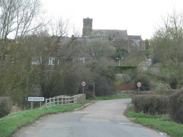
Brinkworth, Wiltshire

Brinkworth is a village and civil parish in northern Wiltshire, England. The village lies between Royal Wootton Bassett and Malmesbury, about 1 mile (1...

Distillery Farm Meadows

Distillery Farm Meadows (grid reference SU032898) is an 18.7 hectare biological Site of Special Scientific Interest in Wiltshire, notified in 1988. The...

Minety

Minety (/'maɪn.tiː/) is a village in north Wiltshire, England, between Malmesbury – 6 miles (9.7 km) to the west – and Swindon. It takes its name from...

Charlton, Brinkworth

Charlton is a village and civil parish in North Wiltshire, England, about 2 miles (3 km) northeast of Malmesbury and 4 miles (6.4 km) northwest of the...

Nearby Amenities

Located within 500m of 51.587677,-2.0013808
The data included in this document is from www.openstreetmap.org. The data is made available under ODbL.

Have you been to Braydon Wood?

Leave your review of Braydon Wood below (or comments, questions and feedback).