Kembleview Plantation

Wood, Forest in Gloucestershire Cotswold

England

Kembleview Plantation

Trewsbury Road towards Coates The gates to the very grand Trewsbury Farm are to the left.
Trewsbury Road towards Coates Credit: Robin Webster

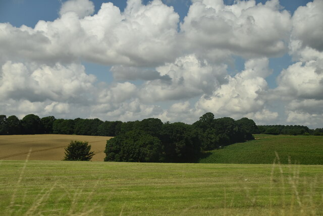
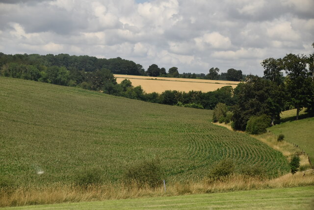
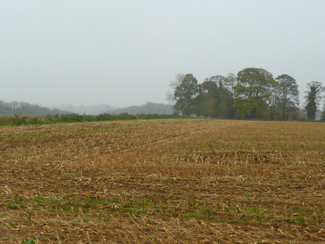
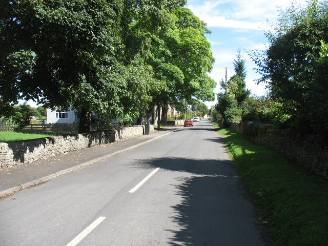
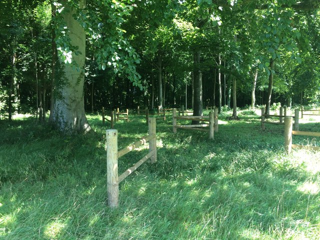
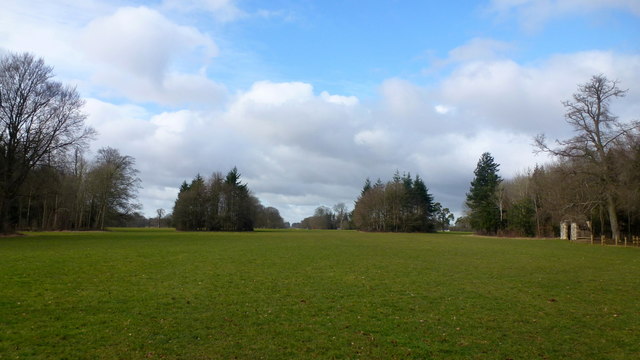
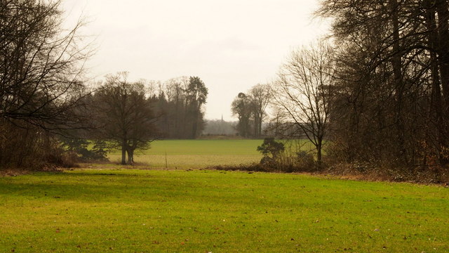
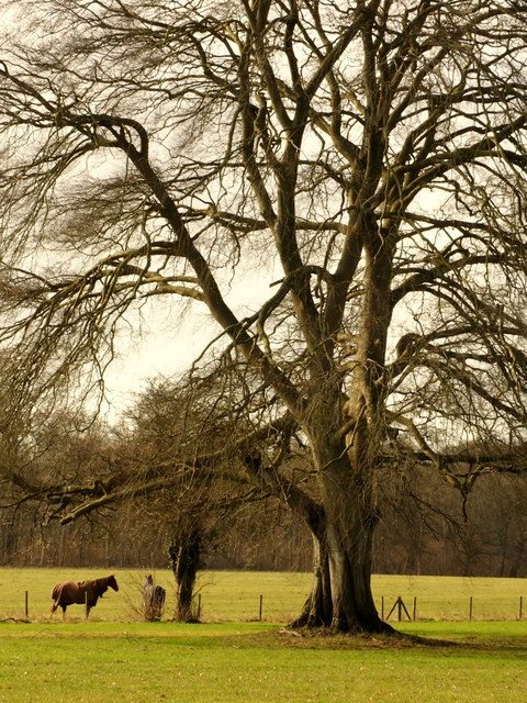
Kembleview Plantation is a picturesque woodland located in Gloucestershire, England. Situated in the heart of the Cotswolds, this plantation spans an area of approximately 100 acres and offers a stunning natural landscape.

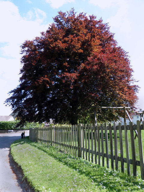
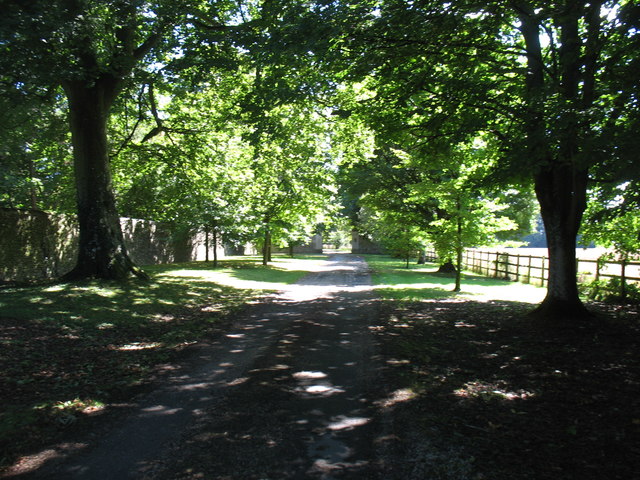
The plantation is primarily composed of a diverse mix of broadleaf trees, including oak, beech, and ash, which create a dense canopy overhead. This woodland is known for its vibrant colors throughout the year, with vibrant greens in spring and summer, followed by a spectacular display of autumnal hues in the fall.

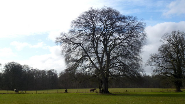
Kembleview Plantation is home to a variety of wildlife, including deer, foxes, and an array of bird species. The tranquil atmosphere and abundant flora and fauna make it a popular spot for nature enthusiasts and photographers.

There are several walking trails that wind their way through the plantation, providing visitors with an opportunity to explore the woodland and enjoy its natural beauty. These trails vary in difficulty, catering to both casual walkers and more experienced hikers. Along the paths, visitors can discover hidden streams, wildflowers, and ancient trees, adding to the charm of the experience.

Additionally, Kembleview Plantation offers picnic areas and designated spots for camping, allowing visitors to fully immerse themselves in the peaceful surroundings. The plantation also hosts educational programs and nature workshops, promoting environmental awareness and conservation.

Overall, Kembleview Plantation in Gloucestershire is a captivating destination for those seeking solace in nature, with its scenic woodland, diverse wildlife, and a range of recreational activities.

If you have any feedback on the listing, please let us know in the comments section below.

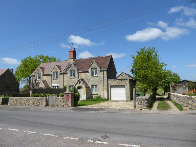
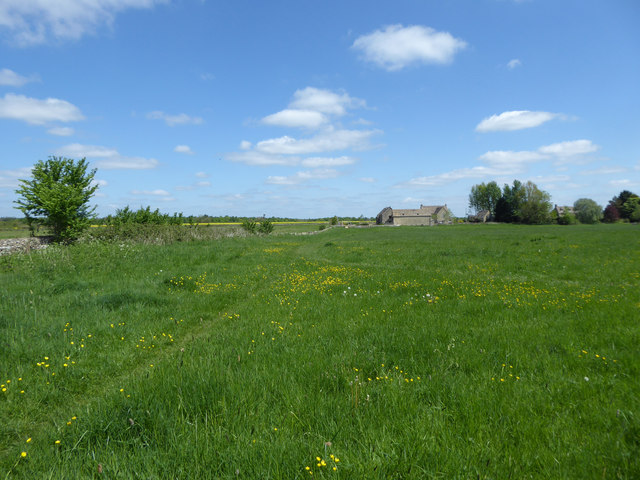
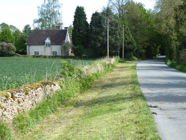
Kembleview Plantation Images

Images are sourced within 2km of 51.710425/-2.0051193 or Grid Reference SO9901. Thanks to Geograph Open Source API. All images are credited.

Trewsbury Road towards Coates The gates to the very grand Trewsbury Farm are to the left.
Trewsbury Road towards Coates
The gates to the very grand Trewsbury Farm are to the left.
Rolling farmland
Rolling farmland
Arable crops by A429
Harvested maize crop Looking north-east from Smerrill Lane.
Harvested maize crop
Looking north-east from Smerrill Lane.
A433 towards Tetbury Looking south-west on the Fosse Way between Cirencester and Tetbury.
A433 towards Tetbury
Looking south-west on the Fosse Way between Cirencester and Tetbury.
Village pump, Coates The village pump stands in the shade of a magnificent copper beech tree. See also <a href="https://www.geograph.org.uk/photo/1517887">SO9801 : Pump and hydrant, Quaker Row, Coates</a>.
Village pump, Coates
The village pump stands in the shade of a magnificent copper beech tree. See also SO9801 : Pump and hydrant, Quaker Row, Coates.
1-6 Bathurst Row, Coates Grade II Listed early to mid-19th century Cotswold stone cottages. The listing is for three identical pairs of cottages in a row (the others are outside the picture to the left). <span class="nowrap"><a title="http://www.britishlistedbuildings.co.uk/en-129299-1-6-bathurst-row-coates-gloucestershire#.Vzt9EpD2aUk" rel="nofollow ugc noopener" href="http://www.britishlistedbuildings.co.uk/en-129299-1-6-bathurst-row-coates-gloucestershire#.Vzt9EpD2aUk">Link</a><img style="margin-left:2px;" alt="External link" title="External link - shift click to open in new window" src="https://s1.geograph.org.uk/img/external.png" width="10" height="10"/></span> An ER postbox is set into the wall in front of the cottages. A public footpath to the right of the cottages leads to the fields.
1-6 Bathurst Row, Coates
Grade II Listed early to mid-19th century Cotswold stone cottages. The listing is for three identical pairs of cottages in a row (the others are outside the picture to the left). LinkExternal link An ER postbox is set into the wall in front of the cottages. A public footpath to the right of the cottages leads to the fields.
The Setts Buildings, Coates
Fosse Hill Lodge Cotswold stone house beside country lane. The Monarch's Way long distance footpath runs alongside the Lodge. <span class="nowrap"><a title="http://www.monarchsway.50megs.com/index.html" rel="nofollow ugc noopener" href="http://www.monarchsway.50megs.com/index.html">Link</a><img style="margin-left:2px;" alt="External link" title="External link - shift click to open in new window" src="https://s1.geograph.org.uk/img/external.png" width="10" height="10"/></span>
Fosse Hill Lodge
Cotswold stone house beside country lane. The Monarch's Way long distance footpath runs alongside the Lodge. LinkExternal link
Coates village Looking along the main street.
Coates village
Looking along the main street.
The drive to Bledisloe
A433 directions sign on the approach to the A429 junction SW of Cirencester The A433 approaches its northeast end at the A429 junction ahead.
A433 directions sign on the approach to the A429 junction SW of Cirencester
The A433 approaches its northeast end at the A429 junction ahead.
Pope's Seat
Pope's Seat
Fences by Pope's Seat If anybody can give some information about these unusual fences please comment.
Fences by Pope's Seat
If anybody can give some information about these unusual fences please comment.
Cirencester Park, 7 Looking west from just into the grid square (and myriad).
The wide area of the Broad Ride includes seven radiating rides and up ahead still further is the Polo field and events area. For example the Cotswold Show is held here every July. See <span class="nowrap"><a title="http://www.cotswoldshow.co.uk/" rel="nofollow ugc noopener" href="http://www.cotswoldshow.co.uk/">Link</a><img style="margin-left:2px;" alt="External link" title="External link - shift click to open in new window" src="https://s1.geograph.org.uk/img/external.png" width="10" height="10"/></span>
Cirencester Park, 7
Looking west from just into the grid square (and myriad). The wide area of the Broad Ride includes seven radiating rides and up ahead still further is the Polo field and events area. For example the Cotswold Show is held here every July. See LinkExternal link
Cirencester Park, 8 This view from the same spot as <a href="https://www.geograph.org.uk/photo/5686859">SP0002 : Cirencester Park, 6</a> is one of the seven rides radiating towards landmarks. The distant view of the spire of All Saints' church Kemble, over 5km distant, in ST9896.
Cirencester Park, 8
This view from the same spot as SP0002 : Cirencester Park, 6 is one of the seven rides radiating towards landmarks. The distant view of the spire of All Saints' church Kemble, over 5km distant, in ST9896.
Beech tree in Cirencester Park, 1 A fine specimen by the Broad Ride.
Beech tree in Cirencester Park, 1
A fine specimen by the Broad Ride.
Beech tree in Cirencester Park, 2 A fine specimen by the Broad Ride.
Beech tree in Cirencester Park, 2
A fine specimen by the Broad Ride.
Show me another place!

Kembleview Plantation is located at Grid Ref: SO9901 (Lat: 51.710425, Lng: -2.0051193)

Administrative County: Gloucestershire

District: Cotswold

Police Authority: Gloucestershire

What 3 Words

///users.solves.splash. Near Coates, Gloucestershire

Related Wikis

A419 road

The A419 road is a primary route between Chiseldon near Swindon at junction 15 of the M4 with the A346 road, and Whitminster in Gloucestershire, England...

Cirencester Deer Park School

Cirencester Deer Park School is a secondary school Park. == History == Founded in 1966, the school combined Cirencester Grammar School with the town's...

Cirencester College

Cirencester College is a sixth form college based in the town of Cirencester in the South Cotswolds. It is a specialist sixth form provider serving communities...

Cirencester Park

Cirencester Park is a cricket ground in Cirencester, Gloucestershire. The first recorded match on the ground was in 1853, when Cirencester played an All...

Coates, Gloucestershire

Coates is a village and civil parish situated in Cotswold District, Gloucestershire, England. It is around 3 miles (4.8 km) west of Cirencester and close...

Corinium Museum

The Corinium Museum, in the Cotswold town of Cirencester in England, has a large collection of objects found in and around the locality. The bulk of the...

Cecily Hill Barracks

Cecily Hill Barracks is a former military installation in Cirencester in Gloucestershire. The former keep for the barracks (known locally as The Castle...

Cirencester Amphitheatre

Cirencester Amphitheatre was a Roman amphitheatre in Cirencester, Gloucestershire, England. Its remains are scheduled as an ancient monument.Archaeological...

Have you been to Kembleview Plantation?

Leave your review of Kembleview Plantation below (or comments, questions and feedback).