Northmoor Plantation
Wood, Forest in Northumberland
England
Northmoor Plantation
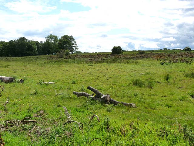
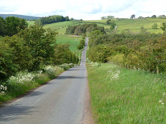
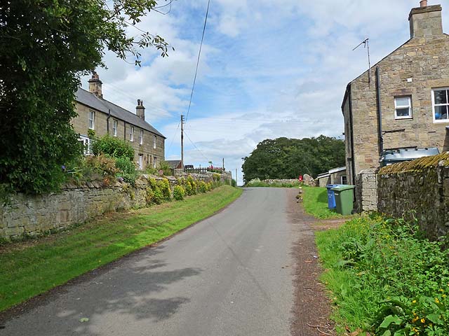
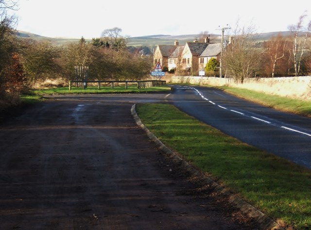
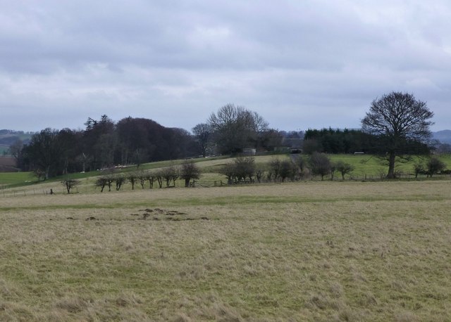
Northmoor Plantation is a stunning woodland estate located in the heart of Northumberland, England. Covering an expansive area, it is known for its picturesque landscape and rich biodiversity, offering a peaceful retreat for nature enthusiasts and outdoor adventurers alike.
The plantation boasts an impressive variety of trees, including oak, beech, and birch, creating a dense forest canopy that provides shade and shelter to an abundance of wildlife. Visitors can explore the winding trails that meander through the woods, immersing themselves in the beauty of nature.
One of the highlights of Northmoor Plantation is its diverse fauna. The area is home to a wide range of bird species, making it a popular destination for birdwatching enthusiasts. Red squirrels, roe deer, and rabbits are some of the many animals that can be spotted in their natural habitat, adding to the charm and tranquility of the estate.
The plantation offers various activities for visitors to engage in, such as hiking, cycling, and picnicking. The well-maintained paths provide an excellent opportunity for leisurely strolls or more adventurous treks, allowing visitors to fully appreciate the natural wonders of Northmoor Plantation.
Additionally, the estate features a charming tea room where visitors can take a break and indulge in delicious homemade treats while enjoying panoramic views of the surrounding woodlands.
Northmoor Plantation is not only a haven for nature lovers but also a valuable ecological resource. Its commitment to conservation and sustainable practices has earned it recognition as a protected area, ensuring its preservation for future generations to enjoy.
If you have any feedback on the listing, please let us know in the comments section below.
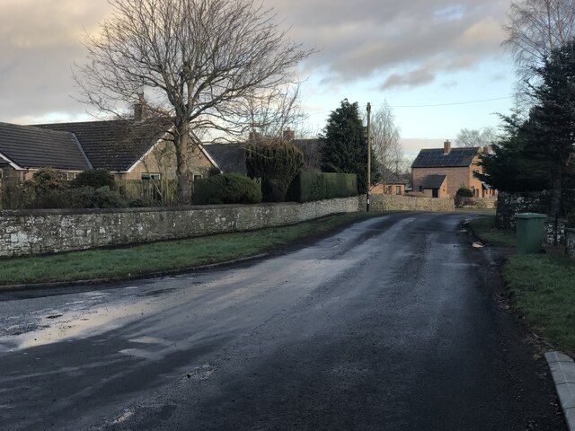
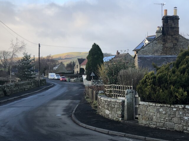
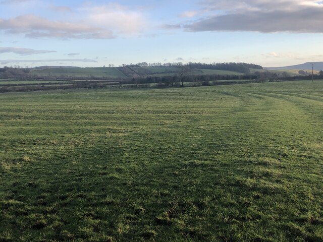
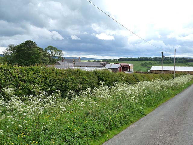
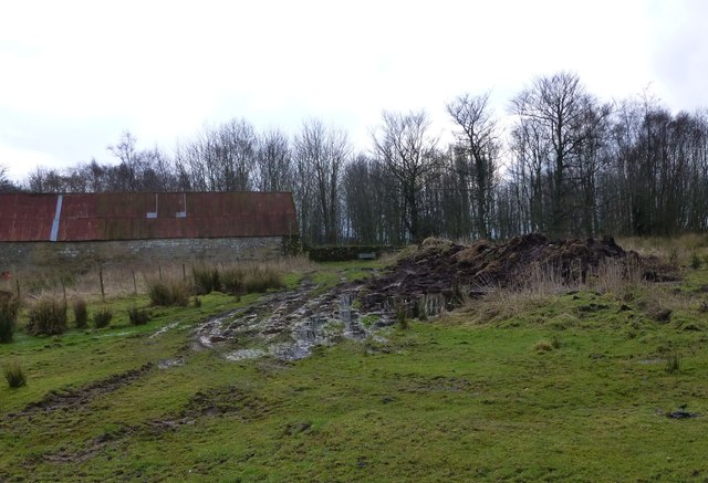
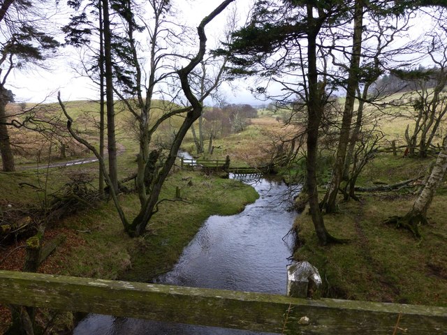
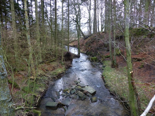
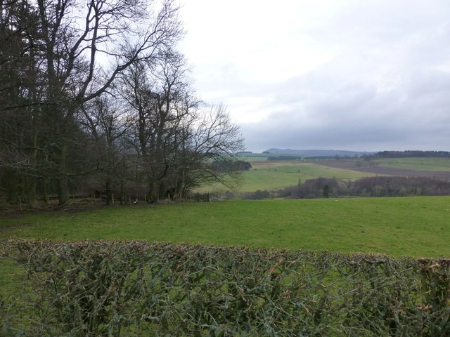
Northmoor Plantation Images
Images are sourced within 2km of 55.348944/-2.0056803 or Grid Reference NT9906. Thanks to Geograph Open Source API. All images are credited.

Northmoor Plantation is located at Grid Ref: NT9906 (Lat: 55.348944, Lng: -2.0056803)
Unitary Authority: Northumberland
Police Authority: Northumbria
What 3 Words
///heartless.wing.kite. Near Rothbury, Northumberland
Nearby Locations
Related Wikis

Burradon, Northumberland
Burradon is a village and former civil parish, now in the parish of Netherton, in Northumberland, England. It is about 14 miles (23 km) to the south-west...

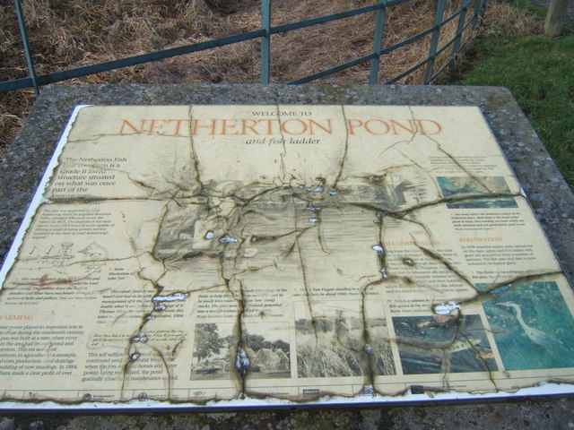
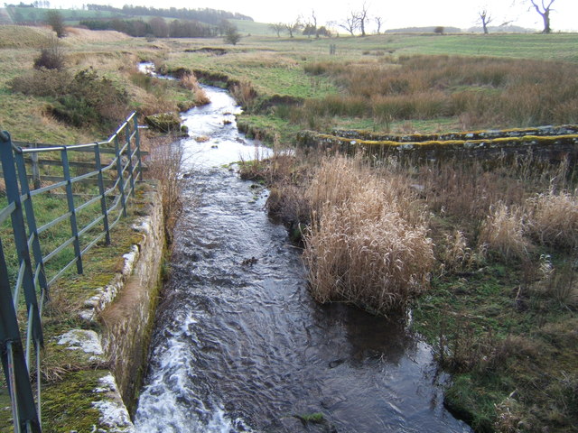
Netherton, Northumberland
Netherton is a village and civil parish in the English county of Northumberland. The population of the village at the 2011 census was 185.Located 6+1⁄2...
Milbourne, Northumberland
Milbourne is a village and former civil parish 14 miles (23 km) from Morpeth, now in the parish of Ponteland, in the county of Northumberland, England...

Scrainwood
Scrainwood is a hamlet and former civil parish 20 miles (32 km) from Morpeth, now in the parish of Alnham, in the county of Northumberland, England. In...

Snitter
Snitter is a village and civil parish in Northumberland, England. It is near the Northumberland National Park. The closest town is Rothbury. == Governance... ==
Biddlestone
Biddlestone is a village and civil parish in Northumberland, England. It is about 14 miles (23 km) to the west of Alnwick. In the early 21st Century several...

Cartington
Cartington is a village and former civil parish, now in the parish of Thropton, in Northumberland, England. It is about 11 miles (18 km) south west of...

Yetlington
Yetlington is a village in the civil parish of Callaly, in the county of Northumberland, England. Yetlington seems to have been known in the Middle Ages...
Nearby Amenities
Located within 500m of 55.348944,-2.0056803Have you been to Northmoor Plantation?
Leave your review of Northmoor Plantation below (or comments, questions and feedback).