Park Copse
Wood, Forest in Wiltshire
England
Park Copse
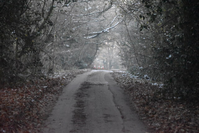
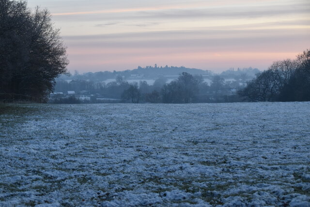
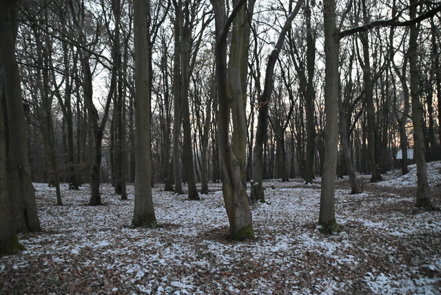
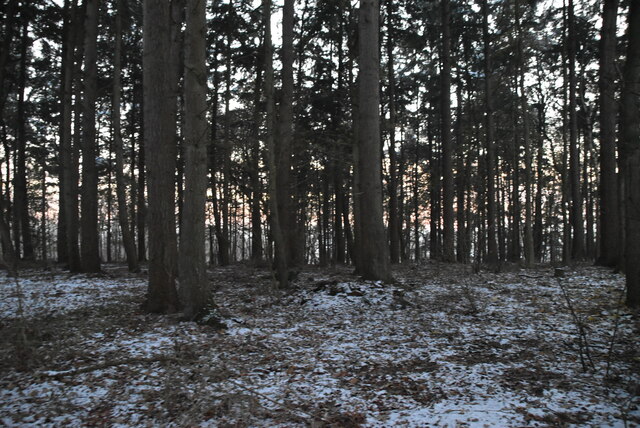
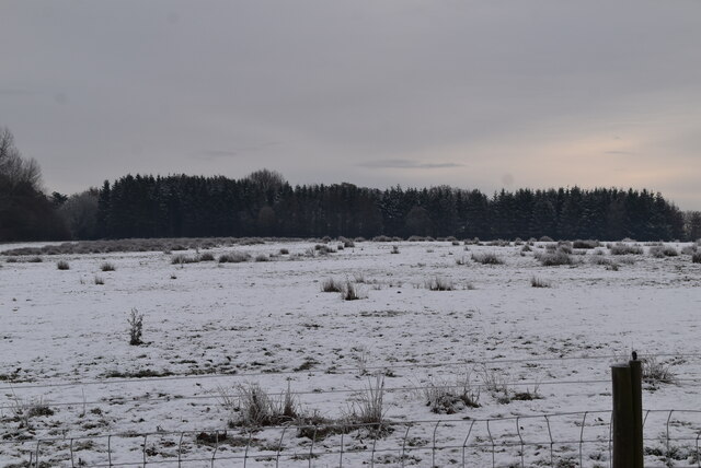
Park Copse is a picturesque woodland located in the county of Wiltshire, England. Situated near the town of Corsham, it covers an area of approximately 50 acres and is known for its diverse flora and fauna. The copse is mainly made up of broadleaf trees, particularly oak, beech, and ash, creating a dense and enchanting forest.
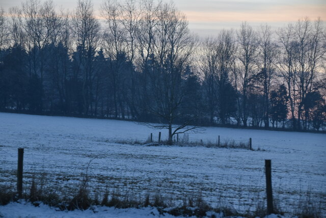
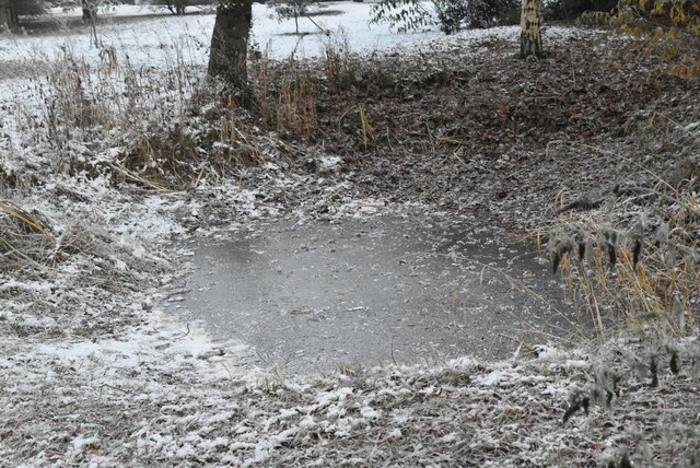
Walking through Park Copse, visitors are immersed in a tranquil and peaceful environment. The woodland floor is covered in a thick carpet of moss, creating a soft and inviting path. The tall trees provide a canopy that filters the sunlight, casting dappled shadows on the forest floor. This creates a cool and refreshing atmosphere, perfect for escaping the summer heat.
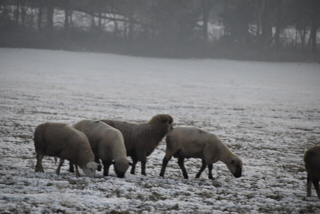
The copse is home to a variety of wildlife, including deer, squirrels, and a wide range of bird species. Birdwatchers can spot woodpeckers, owls, and even the occasional buzzard soaring overhead. The woodland is also known for its vibrant wildflowers, with bluebells and primroses carpeting the ground in springtime.
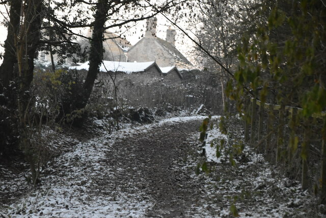
Walking trails wind their way through Park Copse, allowing visitors to explore the woodland and appreciate its natural beauty. The copse is easily accessible, with ample parking available nearby, and is a popular spot for nature enthusiasts, hikers, and families looking for a peaceful day out.
Overall, Park Copse in Wiltshire offers a serene and enchanting woodland experience, showcasing the beauty of nature in this part of England.
If you have any feedback on the listing, please let us know in the comments section below.
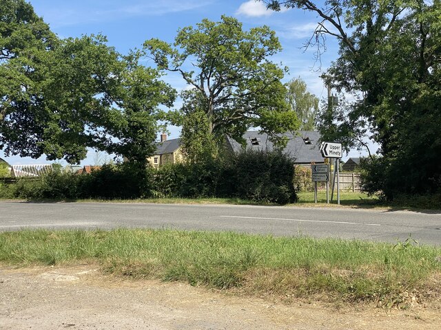
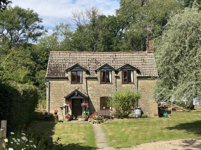
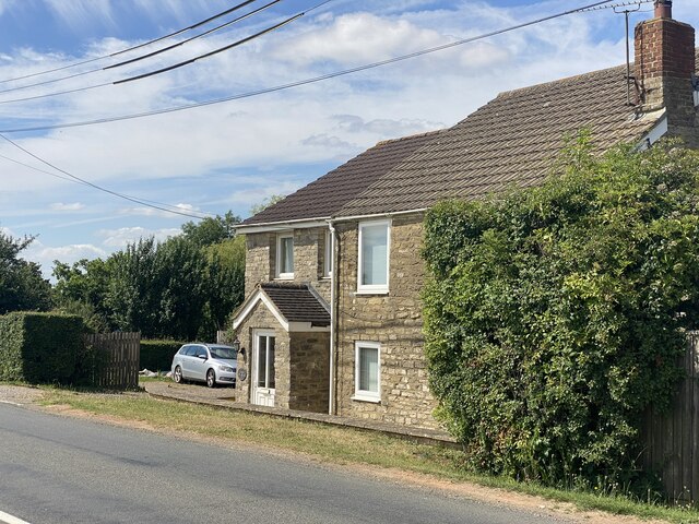
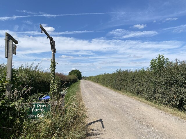
Park Copse Images
Images are sourced within 2km of 51.607961/-2.0052371 or Grid Reference ST9989. Thanks to Geograph Open Source API. All images are credited.


Park Copse is located at Grid Ref: ST9989 (Lat: 51.607961, Lng: -2.0052371)
Unitary Authority: Wiltshire
Police Authority: Wiltshire
What 3 Words
///equipment.perfumes.dull. Near Hankerton, Wiltshire
Nearby Locations
Related Wikis

Emmett Hill Meadows
Emmett Hill Meadows (grid reference SU009901) is a 5.1 hectare biological Site of Special Scientific Interest in Wiltshire, notified in 1987. The site...
Cloatley Manor Farm Meadows
Cloatley Manor Farm Meadows (grid reference ST981910) is a 12.1 hectare biological Site of Special Scientific Interest in Wiltshire, notified in 1997....
Brandier
Brandier is a hamlet in north Wiltshire, England, near Minety. Until the Counties Act of 1844, it was in Gloucestershire. Brandier was the site of extensive...
Hankerton
Hankerton is a village and civil parish in Wiltshire, England, 3 miles (4.8 km) northeast of Malmesbury. The parish includes the hamlets of Cloatley, Cloatley...

Minety
Minety (/'maɪn.tiː/) is a village in north Wiltshire, England, between Malmesbury – 6 miles (9.7 km) to the west – and Swindon. It takes its name from...

Ravensroost Wood
Ravensroost Wood (grid reference SU022882) is a 43.7 hectare biological Site of Special Scientific Interest in north Wiltshire, England. The site lies...
Distillery Farm Meadows
Distillery Farm Meadows (grid reference SU032898) is an 18.7 hectare biological Site of Special Scientific Interest in Wiltshire, notified in 1988. The...
Charlton, Brinkworth
Charlton is a village and civil parish in North Wiltshire, England, about 2 miles (3 km) northeast of Malmesbury and 4 miles (6.4 km) northwest of the...
Nearby Amenities
Located within 500m of 51.607961,-2.0052371Have you been to Park Copse?
Leave your review of Park Copse below (or comments, questions and feedback).