Edge End Wood

Wood, Forest in Staffordshire Staffordshire Moorlands

England

Edge End Wood

Picnic tables at Tittesworth Visitor Centre
Picnic tables at Tittesworth Visitor Centre Credit: Eirian Evans

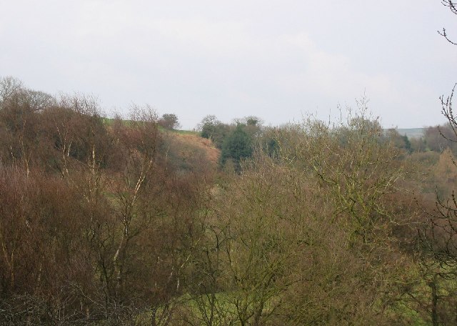
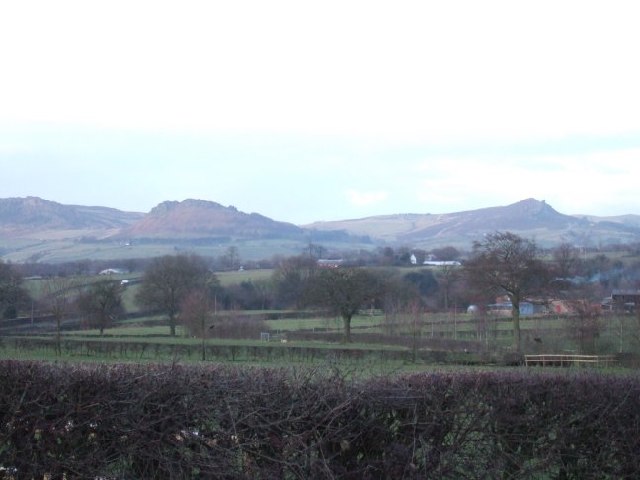
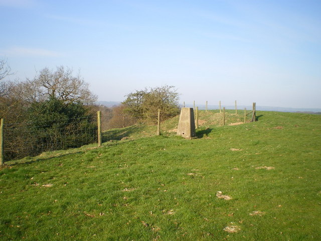
Edge End Wood is a picturesque woodland located in Staffordshire, England. Covering an area of approximately 80 hectares, it is known for its natural beauty and rich biodiversity. The wood is situated near the village of Milford, offering a peaceful escape from the hustle and bustle of city life.

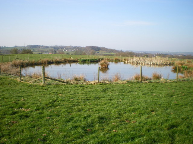
The woodland is predominantly composed of broadleaf trees, including oak, beech, and birch. These towering trees create a dense canopy, providing shelter for a wide range of wildlife species. Visitors to Edge End Wood may have the opportunity to spot various bird species such as woodpeckers, owls, and thrushes, as well as mammals like squirrels, foxes, and deer.

Tranquil pathways wind their way through the wood, making it an ideal location for nature walks and hikes. The forest floor is carpeted with a diverse array of flora, including bluebells, wild garlic, and ferns, creating a vibrant and enchanting atmosphere.

Edge End Wood is managed by a local conservation organization, which ensures the preservation of its natural habitat. The wood is also a designated Site of Special Scientific Interest (SSSI), further emphasizing its ecological importance.

In addition to its natural splendor, the woodland offers recreational activities such as picnicking, photography, and nature study. Visitors can also participate in organized events and educational programs, aimed at promoting environmental awareness and appreciation.

Overall, Edge End Wood is a captivating destination for nature enthusiasts and those seeking a tranquil retreat amidst the beauty of Staffordshire's woodlands.

If you have any feedback on the listing, please let us know in the comments section below.

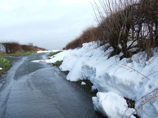
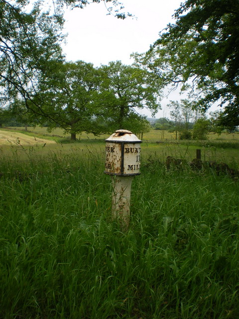
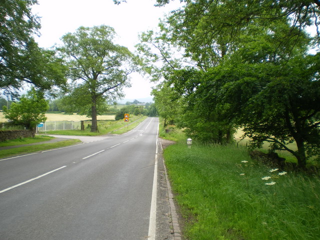
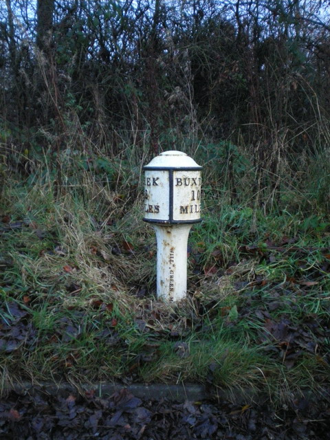
Edge End Wood Images

Images are sourced within 2km of 53.1203/-2.0064293 or Grid Reference SJ9958. Thanks to Geograph Open Source API. All images are credited.

Picnic tables at Tittesworth Visitor Centre
Solomon's Hollow Just outside Leek, a small valley with sides too steep for cultivation, now covered in scrub woodland with grazed clearings.
Solomon's Hollow
Just outside Leek, a small valley with sides too steep for cultivation, now covered in scrub woodland with grazed clearings.
Roaches View across the fields towards The Roaches and the Winking Man.  See <a href="https://www.geograph.org.uk/gridref/SK0062">SK0062</a> for closeup of these rocks.
Roaches
View across the fields towards The Roaches and the Winking Man. See SK0062 for closeup of these rocks.
Anzio Camp Former army camp, planned to be rebuilt as a retirement village.
Anzio Camp
Former army camp, planned to be rebuilt as a retirement village.
Footpath near Coltsmoor Farm
Easing Lane
Easing Lane
Road Junction at Thorncliffe
Weather Station near Blackshaw Moor
Snowy Road Yesterday's heavy snow turns into melt water in a fast thaw
Snowy Road
Yesterday's heavy snow turns into melt water in a fast thaw
Edge End milepost detail One of a small number of cast iron mileposts along the Leek to Buxton road, most of which are in much the same parlous state as this one.
Edge End milepost detail
One of a small number of cast iron mileposts along the Leek to Buxton road, most of which are in much the same parlous state as this one.
The Edge End milepost in its setting Beside the A53, and more or less opposite the entrance to the Leek water treatment works.
The Edge End milepost in its setting
Beside the A53, and more or less opposite the entrance to the Leek water treatment works.
Blackshaw Moor milepost - detail With the manufacturer's name (apparently William Green, Macclesfield) cast into the post, this milepost is better preserved than many along the A53. It dates from the late 19th century, and was Grade II listed <span class="nowrap"><a title="https://britishlistedbuildings.co.uk/101038190-milepost-leek-2-miles-tittesworth#.Y9bdhHbP3IU" rel="nofollow ugc noopener" href="https://britishlistedbuildings.co.uk/101038190-milepost-leek-2-miles-tittesworth#.Y9bdhHbP3IU">Link</a><img style="margin-left:2px;" alt="External link" title="External link - shift click to open in new window" src="https://s1.geograph.org.uk/img/external.png" width="10" height="10"/></span> & <span class="nowrap"><a title="https://historicengland.org.uk/listing/the-list/list-entry/1038190" rel="nofollow ugc noopener" href="https://historicengland.org.uk/listing/the-list/list-entry/1038190">Link</a><img style="margin-left:2px;" alt="External link" title="External link - shift click to open in new window" src="https://s1.geograph.org.uk/img/external.png" width="10" height="10"/></span> in 1985.
Blackshaw Moor milepost - detail
With the manufacturer's name (apparently William Green, Macclesfield) cast into the post, this milepost is better preserved than many along the A53. It dates from the late 19th century, and was Grade II listed LinkExternal link & LinkExternal link in 1985.
Blackshaw Moor milepost in its setting A view along the straightest part of the A53, past Anzio Camp, with the Blackshaw Moor milepost <a href="https://www.geograph.org.uk/photo/1598274">SK0059 : Blackshaw Moor milepost - detail</a> in the verge on the right. This was taken on a wet afternoon and in fading light - sorry about the quality.
Blackshaw Moor milepost in its setting
A view along the straightest part of the A53, past Anzio Camp, with the Blackshaw Moor milepost SK0059 : Blackshaw Moor milepost - detail in the verge on the right. This was taken on a wet afternoon and in fading light - sorry about the quality.
Solomon's Hollow trig point Perched right on the edge of the valley of Solomon's Hollow, this sits at a spot height of 237m, which is slightly lower than the nearby spot of 239m.
Solomon's Hollow trig point
Perched right on the edge of the valley of Solomon's Hollow, this sits at a spot height of 237m, which is slightly lower than the nearby spot of 239m.
Benchmark plate on the trig point
A small pool in the field at Upper Tittesworth Farm
Thorncliffe Methodist Chapel
Disused chapel at Thorncliffe The building itself is still in a fair condition, and has had a set of roof windows installed quite recently. The surrounding land within the wall, however, is being used as a dumping ground for builders' waste and the like.
Disused chapel at Thorncliffe
The building itself is still in a fair condition, and has had a set of roof windows installed quite recently. The surrounding land within the wall, however, is being used as a dumping ground for builders' waste and the like.
Show me another place!

Edge End Wood is located at Grid Ref: SJ9958 (Lat: 53.1203, Lng: -2.0064293)

Administrative County: Staffordshire

District: Staffordshire Moorlands

Police Authority: Staffordshire

What 3 Words

///proved.situates.flight. Near Leek, Staffordshire

Related Wikis

Tittesworth

Tittesworth is a civil parish in the Staffordshire Moorlands, in Staffordshire, England. It extends from the edge of the town of Leek in the south-west...

Ball Haye Green

Ball Haye Green is an area of Leek in Staffordshire, England. The area was historically an estate in the township of Tittesworth. It was developed as...

Dieulacres Abbey

Dieulacres Abbey was a Cistercian monastery established by Ranulf, Earl of Chester at Poulton in Cheshire. It moved to the present site at Abbey Green...

Leek High School

Leek High School is a mixed upper school (termed 'high school') located in Leek, Staffordshire, England. As of 2021, the number of students at the school...

The Meadows School, Leek

The Meadows School is a mixed special school co-located with Leek High School in Leek, Staffordshire, England.In 2014 Ofsted said “Students make good...

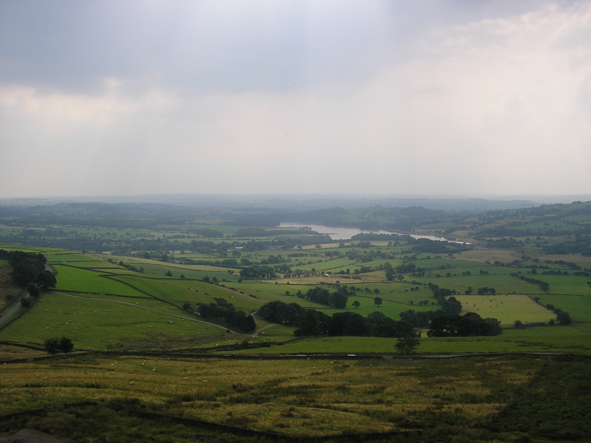
Tittesworth reservoir

Tittesworth Reservoir is a water storage reservoir near Leek, Staffordshire, England, fed by the River Churnet. The reservoir and associated water treatment...

Abbey Green, Staffordshire Moorlands

Abbey Green is a village near Leek in the English county of Staffordshire. The village is close to the site of Dieulacres Abbey. The abbey was founded...

Buxton & Leek College

Buxton & Leek College is a college of Further and Higher Education operating at their campuses and facilities in Buxton, Derbyshire, Leek, Staffordshire...

Related Videos

Dense Winter Fog Walk, Tittersworth Reservoir, English Countryside 4K

https://www.buymeacoffee.com/Daveswalks All support is hugely appreciated and it helps me keep the channel going! No talking ...

Peak District Sunset Walk, English Countryside 4K

https://www.buymeacoffee.com/Daveswalks All support is hugely appreciated and it helps me keep the channel going! No talking ...

Gun Trig From Tittesworth Reservoir. A 6.54 Mile Circular Hike In The Peak District National Park.

A 6.54 mile circular hike from Tittesworth Reservoir to Gun Trig Point. It's a beautiful hike but a bit of a bogfest. if you are thinking of ...

Nearby Amenities

Located within 500m of 53.1203,-2.0064293
Bus Stop
Haregate Hall
Bus: yes
Naptan AtcoCode: 3800C809600
Naptan Bearing: E
Naptan CommonName: Haregate Hall
Naptan Indicator: Adj
Naptan Landmark: Haregate Hall
Naptan Street: Haregate Rd
Naptan Verified: no
Public Transport: platform
Source: naptan_import
Lat/Long: 53.1168498/-2.0091739
Bus Stop
Haregate Hall
Bus: yes
Naptan AtcoCode: 3800C809601
Naptan Bearing: SW
Naptan CommonName: Haregate Hall
Naptan Indicator: Opp
Naptan Landmark: Haregate Hall
Naptan Street: Haregate Rd
Naptan Verified: no
Public Transport: platform
Source: naptan_import
Lat/Long: 53.1165531/-2.009891
Barrier: kissing_gate
Lat/Long: 53.124486/-2.0052012
Barrier: stile
Lat/Long: 53.1168615/-2.0034534
Bench
Lat/Long: 53.1232143/-2.0053115
Windsor Drive
Power: substation
Ref: 2446
Lat/Long: 53.1166857/-2.0038929
Bench
Lat/Long: 53.1205704/-2.0103856
Bench
Lat/Long: 53.1225751/-2.0073797
Bench
Lat/Long: 53.121648/-2.0087073
Traffic Calming: bump
Lat/Long: 53.1197423/-2.0114396
Traffic Calming: bump
Lat/Long: 53.1175707/-2.0098816
Traffic Calming: bump
Lat/Long: 53.1173399/-2.0067908
Traffic Calming: bump
Lat/Long: 53.1172867/-2.0042318
The data included in this document is from www.openstreetmap.org. The data is made available under ODbL.

Have you been to Edge End Wood?

Leave your review of Edge End Wood below (or comments, questions and feedback).