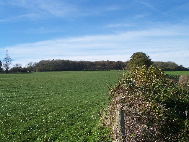
Dowdeswell Wood

Wood, Forest in Gloucestershire Cotswold

England

Dowdeswell Wood

The Manor House, Upper Dowdeswell Situated on a dead end lane off a quiet cross country lane, the hamlet of Upper Dowdeswell and its old manor house sees few visitors.
The Manor House, Upper Dowdeswell Credit: Terry Jacombs

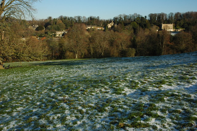
Dowdeswell Wood is a picturesque woodland located in Gloucestershire, England. Covering an area of approximately 400 acres, it is nestled within the Cotswolds Area of Outstanding Natural Beauty, offering visitors a serene and tranquil environment to explore.

The wood is primarily made up of native broadleaf trees, including oak, beech, and ash, which create a rich and diverse habitat for a variety of wildlife. The woodland floor is adorned with a carpet of bluebells during the spring, adding to its natural charm.

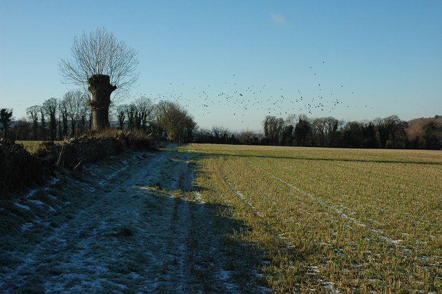
There are several well-marked walking trails that wind their way through the wood, providing visitors with the opportunity to immerse themselves in nature and enjoy the beauty of the surroundings. These trails cater to different abilities, ranging from easy strolls to more challenging hikes, ensuring that everyone can enjoy the wood.

Dowdeswell Wood also boasts a small but delightful stream that meanders through the woodland, adding to its enchanting atmosphere. The stream provides a source of water for the abundant wildlife, including deer, badgers, and numerous species of birds, making it a popular spot for nature enthusiasts and bird watchers.

The wood is managed by a local conservation organization, ensuring that it is well-maintained and protected for future generations to enjoy. It is free to enter and open to the public year-round, offering a peaceful retreat from the hustle and bustle of everyday life.

Overall, Dowdeswell Wood in Gloucestershire is a captivating woodland that offers visitors a chance to connect with nature and experience the beauty of the Cotswolds countryside.

If you have any feedback on the listing, please let us know in the comments section below.

Dowdeswell Wood Images

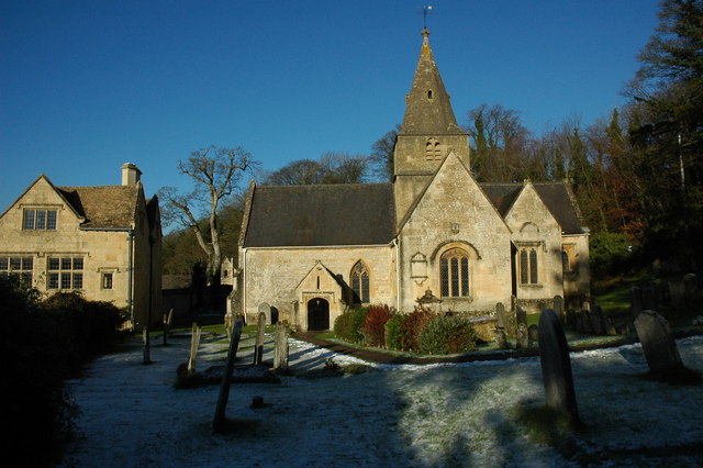
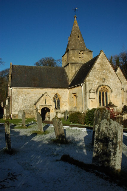
Images are sourced within 2km of 51.881479/-2.0112704 or Grid Reference SO9920. Thanks to Geograph Open Source API. All images are credited.

The Manor House, Upper Dowdeswell Situated on a dead end lane off a quiet cross country lane, the hamlet of Upper Dowdeswell and its old manor house sees few visitors.
The Manor House, Upper Dowdeswell
Situated on a dead end lane off a quiet cross country lane, the hamlet of Upper Dowdeswell and its old manor house sees few visitors.
Public Water Tap, Upper Dowdeswell This water tap is housed in a purpose built alcove in the walls of the Manor House.
Public Water Tap, Upper Dowdeswell
This water tap is housed in a purpose built alcove in the walls of the Manor House.
Dowdeswell Church Viewed from the north.
Dowdeswell Church
Viewed from the north.
Upper Dowdeswell Seat under a tree at the road junction for Upper Dowdeswell.
Upper Dowdeswell
Seat under a tree at the road junction for Upper Dowdeswell.
Farmland, Dowdeswell A stubble field and view over the Chelt valley.
Farmland, Dowdeswell
A stubble field and view over the Chelt valley.
Upper Dowdeswell only The minor road across the image runs from Kilkenny to the A40.
Upper Dowdeswell only
The minor road across the image runs from Kilkenny to the A40.
Roads and driveway meet The road comes from Kilkenny behind the camera and runs straight ahead to the A40.  The turning to the right goes to Upper Dowdsewell.  To the left is the driveway to Heylens Farm.
Roads and driveway meet
The road comes from Kilkenny behind the camera and runs straight ahead to the A40. The turning to the right goes to Upper Dowdsewell. To the left is the driveway to Heylens Farm.
Driveway to Heylens Farm Seen from the minor road.
Driveway to Heylens Farm
Seen from the minor road.
Dowdeswell Church The church at Lower Dowdeswell serves the parishes of Dowdeswell and Andersford.
Dowdeswell Church
The church at Lower Dowdeswell serves the parishes of Dowdeswell and Andersford.
Dowdeswell Church The church at Lower Dowdeswell serves the parishes of Dowdeswell and Andersford.
Dowdeswell Church
The church at Lower Dowdeswell serves the parishes of Dowdeswell and Andersford.
The spire of Dowdeswell Church The church at Lower Dowdeswell serves the parishes of Dowdeswell and Andersford.
The spire of Dowdeswell Church
The church at Lower Dowdeswell serves the parishes of Dowdeswell and Andersford.
Stained glass window, Dowdeswell Church Stained glass in the east window of Dowdeswell Church.
Stained glass window, Dowdeswell Church
Stained glass in the east window of Dowdeswell Church.
The porch of Dowdeswell Church The sun shining into the porch of Dowdeswell Church.
The porch of Dowdeswell Church
The sun shining into the porch of Dowdeswell Church.
Lower Dowdeswell Lower Dowdeswell viewed from the footpath to the west of the small village.
Lower Dowdeswell
Lower Dowdeswell viewed from the footpath to the west of the small village.
Footpath to Lower Dowdeswell The footpath follows the line of the wall. In the middle distance a large flock of carrion crows have taken to the sky.
Footpath to Lower Dowdeswell
The footpath follows the line of the wall. In the middle distance a large flock of carrion crows have taken to the sky.
Tree beside a footpath A pollarded tree beside a footpath to the east of Lower Dowdeswell.
Tree beside a footpath
A pollarded tree beside a footpath to the east of Lower Dowdeswell.
Chancel of Dowdeswell Church
Font in Dowdeswell Church
Show me another place!

Dowdeswell Wood is located at Grid Ref: SO9920 (Lat: 51.881479, Lng: -2.0112704)

Administrative County: Gloucestershire

District: Cotswold

Police Authority: Gloucestershire

What 3 Words

///oval.wipes.orange. Near Charlton Kings, Gloucestershire

Related Wikis

Dowdeswell

Dowdeswell is a civil parish in the ward of Chedworth, Cotswold, in the ceremonial county of Gloucestershire, England. It is separated into Upper and Lower...

Dowdeswell Reservoir

Dowdeswell Reservoir and former water treatment works lie below the parish of Dowdeswell in Gloucestershire. They were originally built by Cheltenham...

Arle Grove

Arle Grove (grid reference SO995215) is a 5-hectare (12-acre) nature reserve in Gloucestershire. The site is listed in the 'Cotswold District' Local Plan...

A40 road

The A40 is a trunk road which runs between London and Goodwick (Fishguard), Wales, and officially called The London to Fishguard Trunk Road (A40) in all...

Lineover Wood

Lineover Wood (grid reference SO987187) is a 20.3-hectare (50-acre) biological Site of Special Scientific Interest in Gloucestershire, notified in 1986...
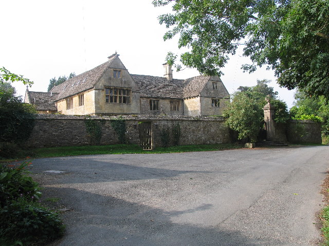
Whittington Court

Whittington Court is an Elizabethan manor house, five miles east of Cheltenham in Gloucestershire, England. Adjacent to the house is the Whittington parish...

Sandywell Park

Sandywell Park is an Jacobean Georgian manor house, five miles east of Cheltenham in Gloucestershire, England. Built in 1704 by Henry Brett, it was extended...

Whittington, Gloucestershire

Whittington, Gloucestershire is a village and rural parish in the county of Gloucestershire in England, United Kingdom. == Location == Whittington, Gloucestershire...

Nearby Amenities

Located within 500m of 51.881479,-2.0112704
Bus Stop
Dowdeswell Turn
Bus: yes
Naptan AtcoCode: 1600GL1629
Naptan Bearing: NE
Naptan CommonName: Dowdeswell Turn
Naptan Indicator: Opp
Naptan NaptanCode: glodwjwj
Naptan Street: A40
Naptan Verified: no
Public Transport: platform
Source: naptan_import
Lat/Long: 51.8776964/-2.0073797
Barrier: kissing_gate
Foot: designated
Material: metal
Lat/Long: 51.8839027/-2.01733
Power: tower
Ref: ZF 326
Source: bing
Source Ref: extrapolation
Lat/Long: 51.8831673/-2.0162141
Power: tower
Ref: ZF 325
Source: bing
Source Ref: extrapolation
Lat/Long: 51.8853256/-2.0144301
The data included in this document is from www.openstreetmap.org. The data is made available under ODbL.

Have you been to Dowdeswell Wood?

Leave your review of Dowdeswell Wood below (or comments, questions and feedback).