Stockcrag Plantation
Wood, Forest in Northumberland
England
Stockcrag Plantation
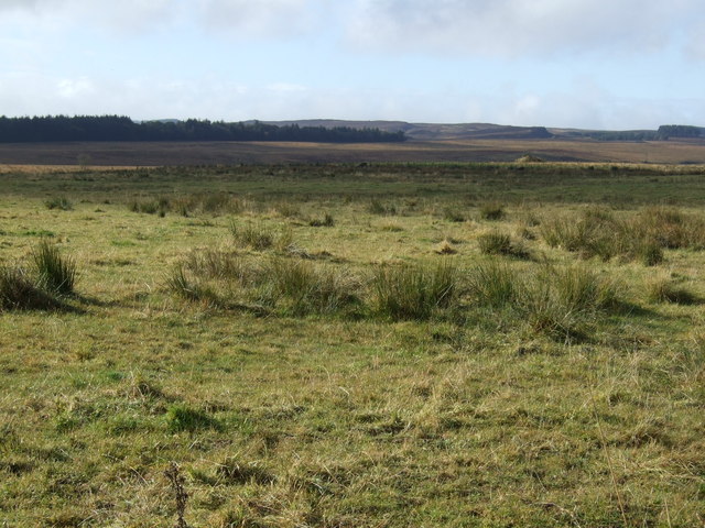
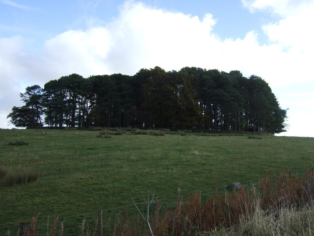
Stockcrag Plantation is a picturesque woodland located in the county of Northumberland, England. Situated in the heart of the Northumberland National Park, the plantation covers an area of approximately 500 acres, making it a significant natural asset to the region. The woodland is predominantly composed of native tree species such as oak, birch, and rowan, creating a diverse and vibrant ecosystem.
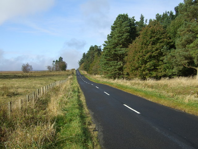
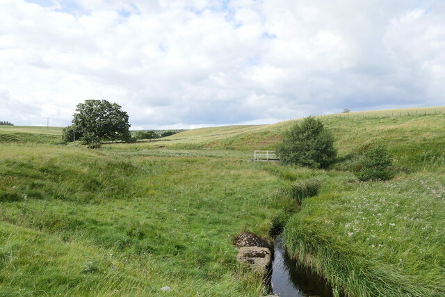
The plantation is renowned for its scenic beauty, with its rolling hills, meandering streams, and abundant wildlife. It offers a tranquil and peaceful environment for visitors to escape the hustle and bustle of modern life and connect with nature. The woodland is crisscrossed with well-maintained footpaths, allowing visitors to explore the area and enjoy leisurely walks or hikes.
Stockcrag Plantation also serves as an important habitat for a variety of wildlife species. It provides a sanctuary for numerous bird species, including woodpeckers, owls, and various songbirds. Mammals such as red squirrels, badgers, and deer can also be spotted within the woodland, adding to its natural charm.
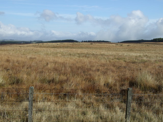
The plantation is a popular destination for nature enthusiasts, photographers, and outdoor enthusiasts. Its tranquil setting and stunning vistas make it an ideal location for picnics, photography, and simply immersing oneself in the beauty of the natural world. The plantation is open year-round and offers ample parking and facilities for visitors.
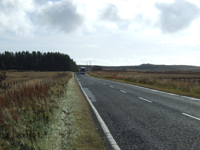
Overall, Stockcrag Plantation in Northumberland is a captivating woodland that showcases the diverse and breathtaking natural landscapes that England has to offer. With its rich biodiversity, stunning views, and peaceful ambiance, it is a must-visit destination for those seeking to reconnect with nature.
If you have any feedback on the listing, please let us know in the comments section below.
Stockcrag Plantation Images
Images are sourced within 2km of 55.186328/-2.0133672 or Grid Reference NY9988. Thanks to Geograph Open Source API. All images are credited.


Stockcrag Plantation is located at Grid Ref: NY9988 (Lat: 55.186328, Lng: -2.0133672)
Unitary Authority: Northumberland
Police Authority: Northumbria
What 3 Words
///native.disarmed.circles. Near Rothley, Northumberland
Nearby Locations
Related Wikis

Knowesgate railway station
Knowesgate was a stone-built railway station with goods sidings in Northumberland, England on the Wansbeck Railway between Morpeth and Reedsmouth, which...

Northumberland
Northumberland ( nor-THUM-bər-lənd) is a ceremonial county in North East England, bordering Scotland. It is bordered by the Scottish Borders to the north...

Little Harle Tower
Little Harle Tower is a Grade II* listed privately owned country house with 15th-century origins, located at Little Harle, Kirkwhelpington, Northumberland...

Kirkwhelpington
Kirkwhelpington is a village and civil parish in the English county of Northumberland about 13 miles (21 km) northeast of Hexham. It is on the River Wansbeck...

Cambo, Northumberland
Cambo is a village and former civil parish, now in the parish of Wallington Demesne, in Northumberland, England. It is about 11 miles (18 km) to the west...
Scotsgap railway station
Scotsgap was a stone-built railway station in Northumberland on the Wansbeck Railway, which served the villages of Scots' Gap and Cambo. It was located...

Scots Gap
Scots Gap is a small village in Northumberland, United Kingdom. == Population == Scots Gap has approximately 70 private residential dwellings, the oldest...

West Grange Hall
West Grange Hall is an English country house and estate in the village of Scots Gap, Northumberland, built between 1863 and 1896 and originally part of...
Nearby Amenities
Located within 500m of 55.186328,-2.0133672Have you been to Stockcrag Plantation?
Leave your review of Stockcrag Plantation below (or comments, questions and feedback).